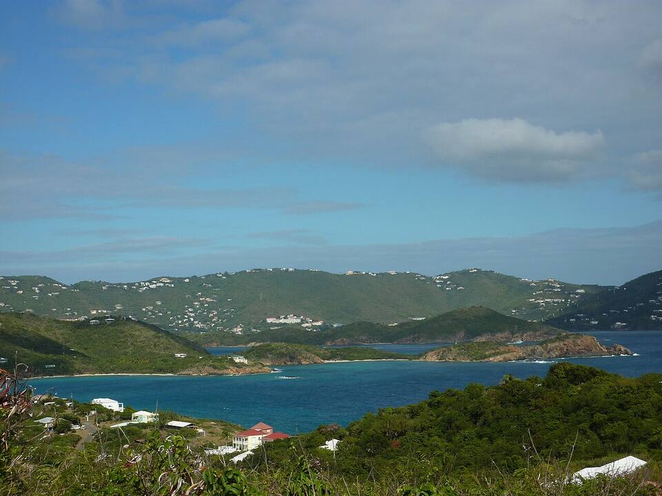
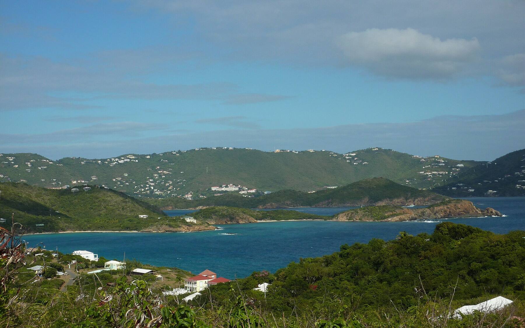
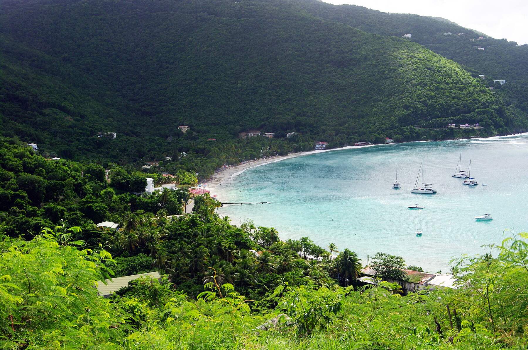
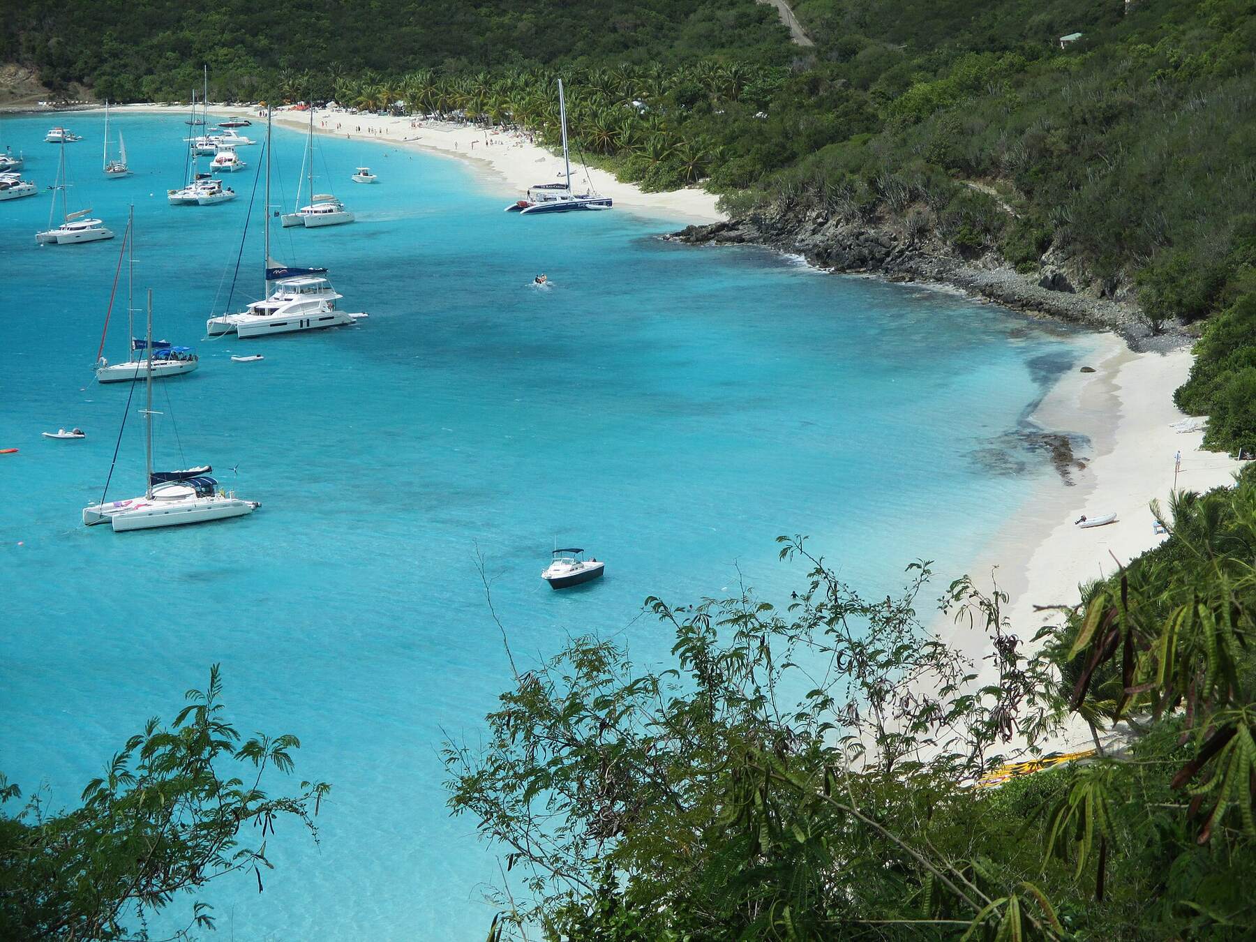
Where most Virgin Islands trips begin: the territory's main airport, one of the Caribbean's busiest cruise ports, and the capital, Charlotte Amalie, on a deep harbour under steep green hills. About 32 square miles — Magens Bay on the north shore, the old Danish town on the south, and Red Hook in the east, where the ferries leave for St. John and the BVI.
Virgin Islands National ParkMain roadsBeach sandTownSightHikeFood & drink
St. Thomas drawn from the U.S. Census shoreline, with the roads the taxis drive and the sand of the main beaches. Hassel Island, in Charlotte Amalie harbour, is shaded green: most of it is Virgin Islands National Park, from the National Park Service's own boundary. Tap a pin for its page.
St. Thomas is where most Virgin Islands trips start. Cyril E. King Airport (STT), on the south-west shore, takes the nonstop jets from the U.S. mainland and the short hops from San Juan; the cruise ships tie up at Havensight and Crown Bay, either side of Charlotte Amalie harbour, and taxis wait at the airport and both docks.
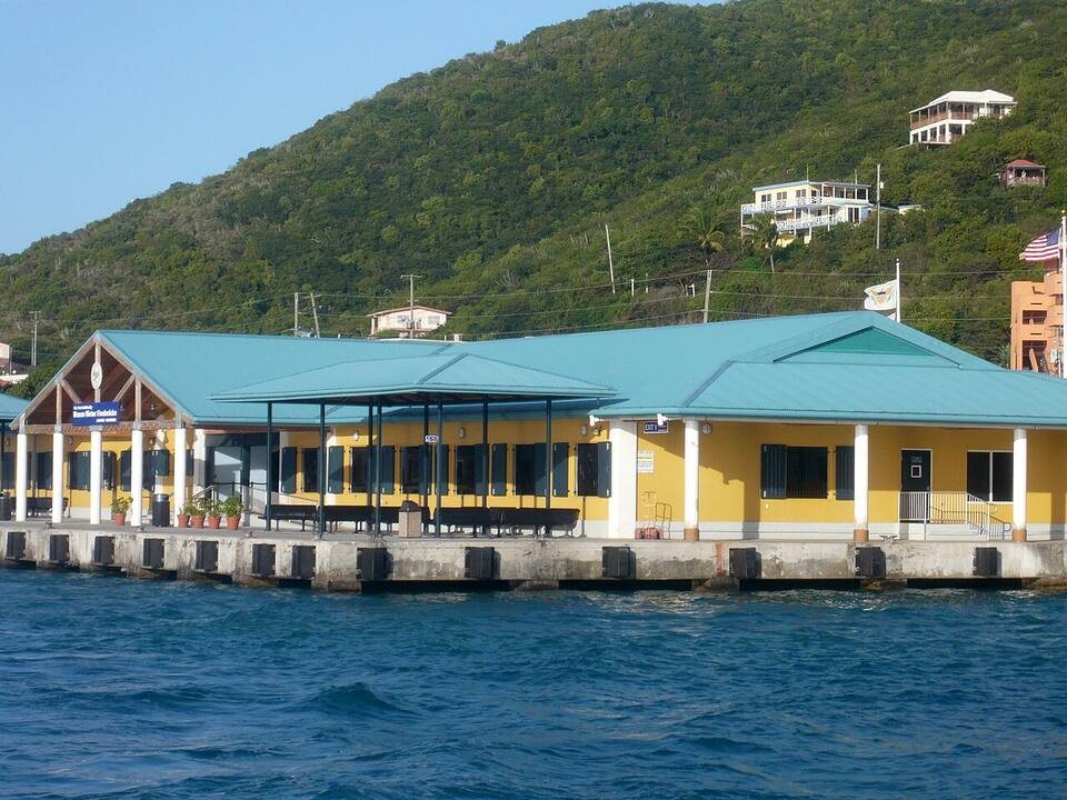
From here the boats fan out. The St. John ferries leave Red Hook on the east end (a few a day also run from Crown Bay); the international ferries to Tortola, Jost Van Dyke and Virgin Gorda leave Red Hook and the downtown waterfront; the little Water Island ferry leaves Crown Bay Marina; and the car barge crosses from Red Hook to St. John.
From the airport: a taxi from Airport (STT) to Red Hook is $23 for one rider, $17 each for two or more, about 30–40 minutes — see the fare.
Cyril E. King Airport (STT) from the air: the runway along the south-west shore of St. Thomas
Varlack Ventures, Transportation Services of St. John
Fastest: Gallows Bay, St. Croix ↔ Charlotte Amalie, 2 hr 10 min. Children and bag fees vary by route — each timetable page has the full fare table and booking links.
Bringing a car: the car barge
Two barge lines cross from Red Hook (the ramp in Vessup Bay) to Enighed Pond on St. John, about half a mile south of Cruz Bay: 26 sailings a day from St. Thomas, the first at 6:30am and the last at 7:30pm; the other way 6:00am–6:30pm. Tickets are bought on board.
Vehicle — non-resident: $65 one way · $80 round trip
Vehicle — USVI resident: $50 one way · $65 round trip
International ferries leave Red Hook and the downtown Charlotte Amalie waterfront for Tortola, Jost Van Dyke and Virgin Gorda. A passport is required, and you clear BVI customs and pay entry fees on arrival.
U.S. citizens flying in from the mainland or Puerto Rico need no passport. Going home, you clear U.S. Customs at STT before security, so carry proof of citizenship — a passport, or a birth certificate with photo ID — and allow time on busy days.
Taxis wait outside arrivals and charge the official per-person fare for where you are going; confirm it before the bags go in.
Heading to St. John? Red Hook is the quick crossing. Allow two hours from landing at STT to the Cruz Bay dock on a normal day — longer when several ships are in and the road east is busy.
Taking a car to St. John? The barge loads at its own ramp in Vessup Bay, just south of the Red Hook passenger terminal — follow the CAR BARGE signs, and check your rental agreement allows the crossing.
Most visitors get around by taxi. Vans and open-air safaris wait at the airport, both cruise docks, the downtown waterfront and Red Hook, and charge an official fixed fare per person — the table below has the fare from Charlotte Amalie to the beaches, the docks and the east end, straight from the VI Taxicab Commission schedule. Two or more riders usually pay a lower rate each.
A rental car pays off for a longer stay or for the north side and the quiet west end. Driving is on the left, the hills are steep and the roads twist, and downtown and the road to Red Hook crawl when several ships are in. Local safari buses also run the main road between Charlotte Amalie and Red Hook for a small flat cash fare.
An open-air safari taxi at Red Hook Photo: Fred Hsu, CC BY-SA 3.0
Every beach on St. Thomas is public to the waterline, even in front of a resort; Magens Bay and Lindquist are run as parks with an entry fee and gate hours. Numbers match the map. For which one is calm and uncrowded today, open the beach report.
The famous one: a long curve of white sand at the head of a deep bay on the north shore, sheltered by the hills on both sides, so the water is calm most of the year. Run by the Magens Bay Authority as a park with an entry fee, a snack bar and water-sport rentals. Busiest on big ship days.
Taxi from Charlotte Amalie: $15 for one rider, $12 each for two or more
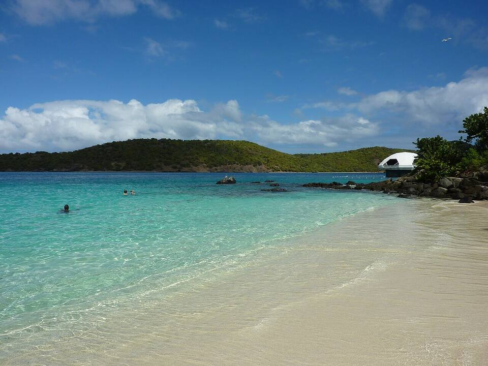
A small, busy beach beside Coral World, with reef and clouds of fish a few strokes from the sand — the island's easiest snorkel and its classic shore dive. Vendors rent gear and chairs; it is loud and crowded on ship days, quiet early.
Taxi from Charlotte Amalie: $18 for one rider, $14 each for two or more
Inside Smith Bay Park on the east end: a protected, undeveloped beach with soft sand and clear water looking out to the cays. No hotel and no bar, so bring what you need; there is a small entry fee.
Taxi from Charlotte Amalie (fare to Smith Bay, the park entrance): $18 for one rider, $12 each for two or more
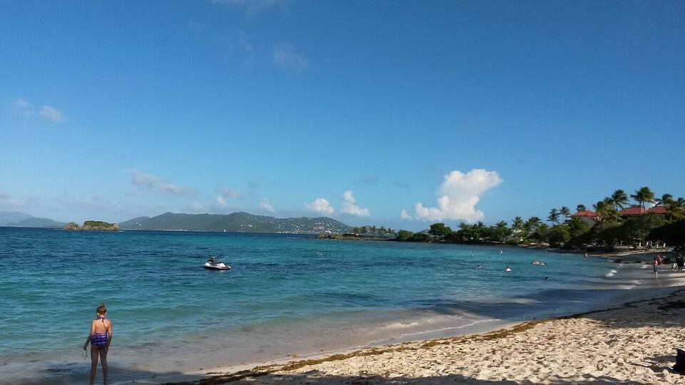
A long east-end beach beside a resort and marina, looking across Pillsbury Sound to St. John and the BVI, with reef to snorkel near the point. Our live Sapphire Beach camera shows the water before you go.
Taxi from Charlotte Amalie: $21 for one rider, $15 each for two or more
A sheltered cove off Nazareth Bay near Red Hook, facing south-west: calm water, good snorkeling along both sides of the bay and a beach bar on the sand.
Taxi from Charlotte Amalie: $23 for one rider, $15 each for two or more
Below the Frenchman's Reef resort on the south shore, minutes from Charlotte Amalie and the Havensight dock: a long, gentle beach that is the quickest swim from a ship.
Taxi from Charlotte Amalie (fare to Frenchman's Reef, above the beach): $12 for one rider, $9 each for two or more
Beside the University of the Virgin Islands and the end of the airport runway: a long, quiet beach with calm water, a local crowd and jets landing overhead. Food trucks at weekends.
Taxi from Charlotte Amalie (fare to UVI; the beach is beside the campus): $11 for one rider, $9 each for two or more
A laid-back bay on the north side, with fishing boats pulled up on the sand and, when the winter north swells come in, the island's only real surf break.
Taxi from Charlotte Amalie: $18 for one rider, $12 each for two or more
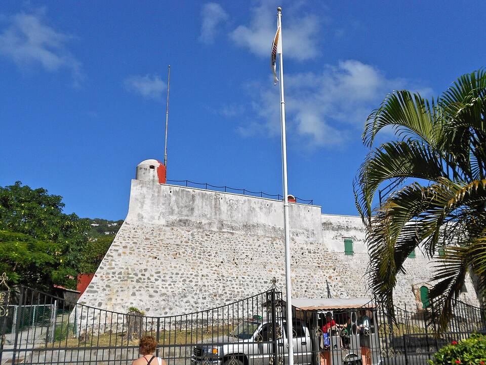
The capital's Danish old town: the stone warehouses of Main Street (Dronningens Gade), now duty-free shops, and the alleys running down to the waterfront; red-walled Fort Christian, begun in the 1670s and the oldest standing building in the territory; the Vendors Plaza market; and the 99 Steps climbing to Blackbeard's Castle, a 17th-century watchtower. Go early, or on a day with few ships in.
The ridge road over the north side has the island's postcard views: Drake's Seat looks straight down on Magens Bay, and Mountain Top, higher up the same ridge, has a deck over the north shore and out to the BVI on a clear day, with a shop and bar. Pair it with an afternoon on Magens beach below.
The reef at Coki Beach starts in shallow water and the fish come to you — the easiest snorkel on the island and its classic shore dive. Next door, Coral World Ocean Park has an underwater observatory tower, touch pools and animal encounters.
The fourth U.S. Virgin Island, a short ferry ride from Crown Bay Marina: hilly, quiet, fewer than 200 residents, with Honeymoon Beach a walk from the dock. Take a picnic or rent a golf cart, and watch the ships come and go across the harbour.
The island across the harbour from Charlotte Amalie is mostly Virgin Islands National Park: trails through dry forest to the ruins of forts the British built during their occupation of 1807–1815, and an old ship-repair yard. There is no regular ferry — go with a kayak or boat tour.
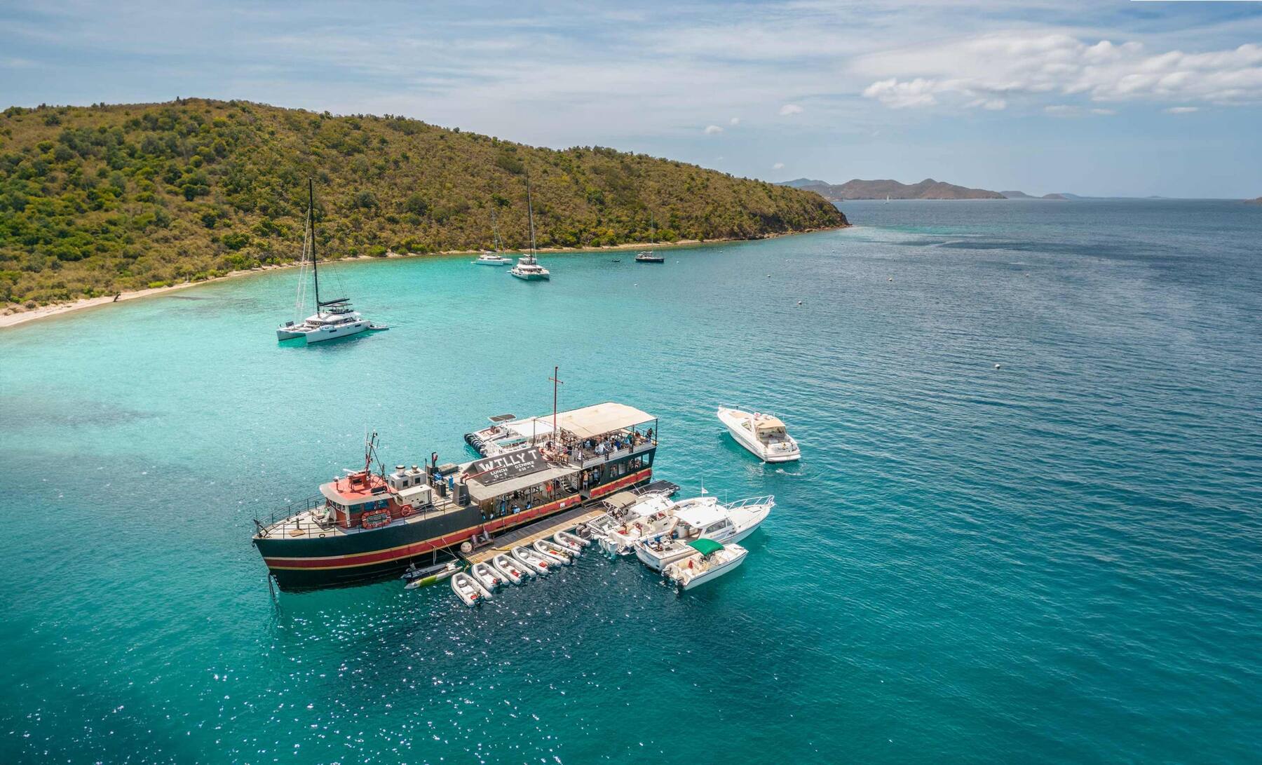
Lime Out's St. Thomas bar floats in Lindbergh Bay, five minutes from the airport. You cannot swim or paddle out: the Taco Taxi runs from Emerald Beach, the Taco Tug from Crown Bay Marina, and catamarans on some days. Closed for part of the off-season — the Lime Out page says whether it is open today.
Red Hook is the launchpad: St. John's national-park beaches are one short ferry ride away, and Jost Van Dyke, Tortola and Virgin Gorda are an international ferry or a day charter. Passport required for the BVI, plus BVI entry fees.
Charlotte Amalie is where St. Thomas lunches: Caribbean cooking in the old-town alleys, bars along the waterfront by the ferry dock, and Frenchtown's restaurants a few minutes west. In the evening the action moves up the hills for the sunset views, and out to Red Hook, the east end's harbour village of bars and dockside restaurants. A few places close for part of the off-season — the list below says who, from our seasonal-closures tracker.
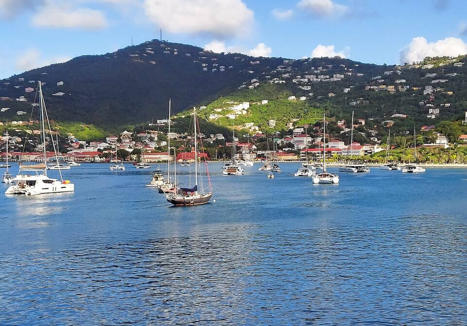
Charlotte Amalie from across the harbour: yachts at anchor, the town and the hills behind Photo: P. Hughes, CC BY-SA 4.0
Cuzzins Caribbean RestaurantAuthentic Caribbean home cooking in downtown Charlotte Amalie. Oxtail, curry goat, conch — the real deal.
Petite Pump RoomWaterfront classic at the ferry terminal. Caribbean lunch and casual dinner, great for ferry-waiters.
Greenhouse RestaurantWaterfront bar and grill on the Charlotte Amalie boardwalk. Reliable, casual, all-day menu.
Frenchtown BrewingSmall-batch craft brewery in the historic French Village. Tasting room with rotating local beers.
Oceana Restaurant & BistroFine dining in a historic Villa Olga mansion overlooking the harbor. Seafood-forward menu, best sunset view in Charlotte Amalie.
Red Hook & the east end
Duffy's Love ShackIconic open-air tiki bar in the Red Hook parking lot. Fishbowl cocktails and a lively nightlife scene.
Latitude 18Waterfront dockside bar at Red Hook. Live music most nights, fresh seafood and sunset views.
Tap & StillGastropub with local craft beer, burgers and wing nights. Red Hook location with open-air seating.
XO BistroSophisticated wine bar and small-plates in Red Hook. Well-curated rum list.
Iggies Beach BarBeachfront bar at Bolongo Bay. Karaoke nights, live music, and a proper Caribbean party vibe.
Up in the hills
Mafolie RestaurantHilltop restaurant with sweeping views of Charlotte Amalie harbor. Sunset dinner is the reason to go.
Room With A ViewBluebeard's Castle rooftop dining with panoramic views. Intimate, romantic, seafood and steaks.
Old Stone FarmhouseUpscale dining in a restored 18th-century plantation stable. Ordering from the walk-in butcher shop is the experience.
Shopping: Main Street (Dronningens Gade) — Duty-free shopping district through 17th-century Danish warehouses. Jewelry, liquor, watches, electronics. Vendors Plaza — Open-air market at the waterfront. Straw bags, t-shirts, spices, hot sauce and local crafts. Havensight Mall — Shopping center next to the Havensight cruise pier. Big-name jewelry and liquor stores within walking distance.
Weather & sea
St. Thomas weather and the best time to go
Warm all year: highs in the mid-80s °F in winter and around 90 °F in late summer, a steady easterly trade wind, and short tropical showers rather than all-day rain. December to April is the dry, busy season — and the heart of the cruise season. June to November is hurricane season, with the peak from mid-August to mid-October, when some restaurants close and the ferries run an off-season timetable.
Daily-mean sea-surface temperature, averaged 2021–2024 (Open-Meteo marine reanalysis): warmest in Sep (86.4°F), coolest in Feb (79.8°F). Hurricane history map
Cruise ships
Cruise ships and St. Thomas
St. Thomas is one of the busiest cruise ports in the Caribbean. The big ships berth at Havensight — the West Indian Company dock on the east side of the harbour, beside Yacht Haven Grande and the Havensight Mall — and at Crown Bay on the west side, nearer the airport. Both are a short taxi ride from Main Street. On a big ship day downtown, Magens Bay, Coki and the road to Red Hook fill from mid-morning, and excursions cross to St. John's Trunk Bay.
28 calls at Havensight and Crown Bay in the next 30 days. Next:
Tue, Oct 6 — Norwegian Luna (4,224 guests), 10:00am–6:00pm
Wed, Oct 7 — Icon of the Seas (5,610 guests), 7:00am–2:30pm
Wed, Oct 7 — Norwegian Prima (3,950 guests), 1:30pm–8:00pm
Thu, Oct 8 — Carnival Magic (3,690 guests), 7:00am–4:00pm
Seventeen Spanish ships anchor at Salt River, St. Croix. A landing party fights the Kalinago there — the first recorded battle between Europeans and Native Americans. Columbus names the chain Las Once Mil Vírgenes and claims it all for Spain; Spain never settles any of it.
May 25, 1672
Denmark settles St. Thomas
The Danish West India Company's ship Færøe lands Governor Jørgen Iversen and a handful of colonists at the harbour that becomes Charlotte Amalie. Two European powers now hold the Virgin Islands, twenty miles apart — the split that still exists today.
1680s
Pirates in the harbour
Governor Adolph Esmit openly shelters pirates at St. Thomas, buying their plunder and refusing to hand them over. For a generation the harbour is a known haven in the Golden Age of Piracy.
Mar 25, 1718
Denmark takes St. John
Planters from St. Thomas raise the Dannebrog at Coral Bay and lay out the first estates. Britain, which also claimed the island, protests and lets it go.
1764
Charlotte Amalie becomes a free port
Denmark opens St. Thomas to ships of every flag. The harbour turns into the trading crossroads of the Caribbean — neutral, busy, and rich on everyone else's wars.
Mar 28, 1801
Britain occupies the Danish islands
With Denmark drawn into Napoleon's wars, a British fleet takes St. Thomas, St. John and St. Croix without a shot. They are handed back the following February.
Feb 1802
Denmark gets them back
The Peace of Amiens returns the three islands to Denmark.
Dec 22, 1807
Britain takes them again — for seven years
Denmark sides with France after the bombardment of Copenhagen, and the Royal Navy returns. The Union Jack flies over the Danish islands until April 1815.
Apr 15, 1815
The Dannebrog returns
After Napoleon's fall the islands go back to Denmark, which keeps them for another century.
Oct 1867
The first sale to the U.S. falls through
Denmark agrees to sell St. Thomas and St. John for $7.5 million. Within weeks an earthquake, a tsunami and a hurricane hit the islands, and the U.S. Senate never ratifies the treaty.
Mar 31, 1917
Transfer Day: the U.S. buys the Danish West Indies
$25 million in gold — the most the United States has ever paid for territory. At 4 p.m. in Charlotte Amalie the Dannebrog comes down and the Stars and Stripes go up, with the USS Hancock in the harbour and a U-boat war on in the Atlantic.
Today
Two flags, one archipelago
St. Thomas, St. John, St. Croix and Water Island are the U.S. Virgin Islands. Tortola, Virgin Gorda, Jost Van Dyke and Anegada are the British Virgin Islands. Cruise ships and ferries cross the line every day.
The U.S. Virgin Islands ban sunscreens with oxybenzone, octinoxate or octocrylene. Bring a mineral (zinc or titanium) one, or buy it on the island.
Drive on the left
Keep left — on the hills, on the blind bends and when pulling out of a beach lot. Rental cars are American, with the steering wheel on the left.
Check the ship count
On days with several ships in, downtown, Magens Bay, Coki and the roads are busiest from late morning to mid-afternoon. Our cruise page shows how many are in today.
Allow time at STT going home
Departing passengers clear U.S. Customs before TSA security. On the busiest days the line is long — our airport page forecasts it by the half hour.
Leave nothing in the car
Take valuables with you at the beach lots and viewpoints, or leave them at the hotel.
Carry small bills
Safari buses and some taxis and beach vendors prefer cash. ATMs are easy to find downtown, at Havensight and in Red Hook.
Not if you are a U.S. citizen travelling from the U.S. mainland or Puerto Rico: St. Thomas is in the U.S. Virgin Islands, a U.S. territory. On the way home you clear U.S. Customs at the airport before security, so carry proof of citizenship — a passport, or a birth certificate with photo ID. You do need a passport for the ferries to the British Virgin Islands, and non-U.S. visitors need the same documents as for the mainland United States.
How much is a taxi from the St. Thomas airport?
Taxis on St. Thomas charge official fixed fares per person, set by the VI Taxicab Commission. The fare from Cyril E. King Airport (STT) to Charlotte Amalie is $11 for one rider, $9 each for two or more; to Red Hook, for the St. John ferry, $23 for one rider, $17 each for two or more. Night, luggage and waiting surcharges apply, and the taxis wait outside arrivals.
Where do cruise ships dock in St. Thomas?
At two docks either side of Charlotte Amalie harbour: Havensight, the West Indian Company dock on the east side, beside Yacht Haven Grande and the Havensight Mall; and Crown Bay, on the west side near the airport. Both are a short taxi ride from downtown and Main Street.
How much is a taxi from the cruise port to Magens Bay?
Fares are fixed per person: Havensight to Magens Bay is $15 for one rider, $12 each for two or more. Magens Bay charges its own entry fee at the gate, and the beach is busiest on big ship days.
What are the best beaches on St. Thomas?
Magens Bay for a long, calm beach with facilities; Coki Beach for snorkeling straight off the sand; Lindquist Beach in Smith Bay Park for clear water with no development; Sapphire Beach for views of St. John; Secret Harbour for a calm cove near Red Hook; Morningstar for a quick swim near the cruise dock; and Brewers Bay, by the airport, for a quiet local beach.
How do you get from St. Thomas to St. John?
By ferry. The quick crossing is the passenger ferry from Red Hook on the east end to Cruz Bay, which runs all day; a few boats a day also leave from Crown Bay, nearer the airport and the cruise docks, and a slower boat from downtown Charlotte Amalie runs for much of the year (it pauses for part of the off-season). Cars cross on the car barge from Red Hook to Enighed Pond, half a mile south of Cruz Bay. No passport is needed — it is a domestic crossing.
Do you need a car on St. Thomas?
Not for a beach-and-town stay. Taxis charge fixed per-person fares — Charlotte Amalie to Coki Point is $18 for one rider, $14 each for two or more, and safari buses run the main road between town and Red Hook. A rental car pays off for a longer stay or for the north side and the west end. Remember to drive on the left.
When is the best time to visit St. Thomas?
December to April is the dry season with the most reliable weather — and the busiest, with the most cruise ships. May, June and November are quieter and still warm. August to October is the peak of hurricane season, when the island is quietest and some restaurants close for a few weeks.
Photo & map credits
Magens Bay from the hills above: the long white beach at the head of a sheltered bay on the north shore of St. Thomas — A J Niccel, CC BY-SA 3.0, via Wikimedia Commons (resized).
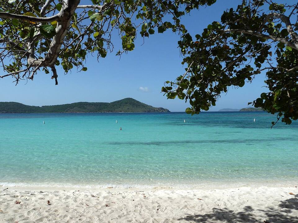
The sand and shallow, calm water at Magens Bay — socaltraveler, CC BY-SA 3.0, via Wikimedia Commons (resized).
Coki Beach, looking out to Thatch Cay, with the Coral World observatory tower on the point — Gruepig, CC BY-SA 3.0, via Wikimedia Commons (resized).
Lindquist Beach in Smith Bay Park, on the east end of St. Thomas — Gruepig, CC BY-SA 4.0, via Wikimedia Commons (resized).
Sapphire Beach on the east end, looking out over Pillsbury Sound — PunctuatedArt, CC0, via Wikimedia Commons (resized).
The stone bastion of Fort Christian on the Charlotte Amalie waterfront — Smallbones, CC0, via Wikimedia Commons (resized).
Charlotte Amalie from across the harbour: yachts at anchor, the town and the hills behind — P. Hughes, CC BY-SA 4.0, via Wikimedia Commons (resized).
An open-air safari taxi at Red Hook — Fred Hsu, CC BY-SA 3.0, via Wikimedia Commons (resized).
The Red Hook ferry terminal on the east end, where the boats to St. John and the BVI leave — Gruepig, CC BY-SA 4.0, via Wikimedia Commons (resized).
From Fort Segarra on Water Island, looking across the harbour to the hills of St. Thomas — Gruepig, CC BY-SA 4.0, via Wikimedia Commons (resized).
Map: shoreline from U.S. Census Bureau TIGER/Line 2023; park boundary from the National Park Service; roads from our taxi-route data.
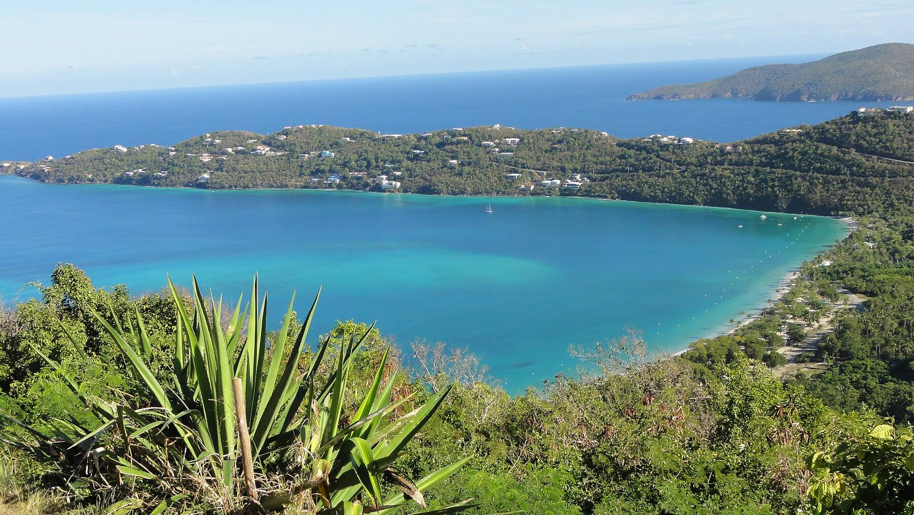
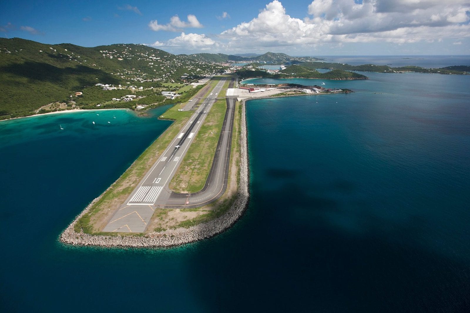

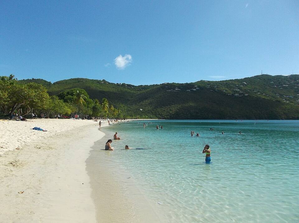 Photo: socaltraveler, CC BY-SA 3.0