1
The Bight
The beach at the head of Norman Island's big harbour, with the restaurant and bar ashore behind it and the moorings in front. The water is calm in the usual easterly trade wind; snorkelers swim along the rocky shores either side.
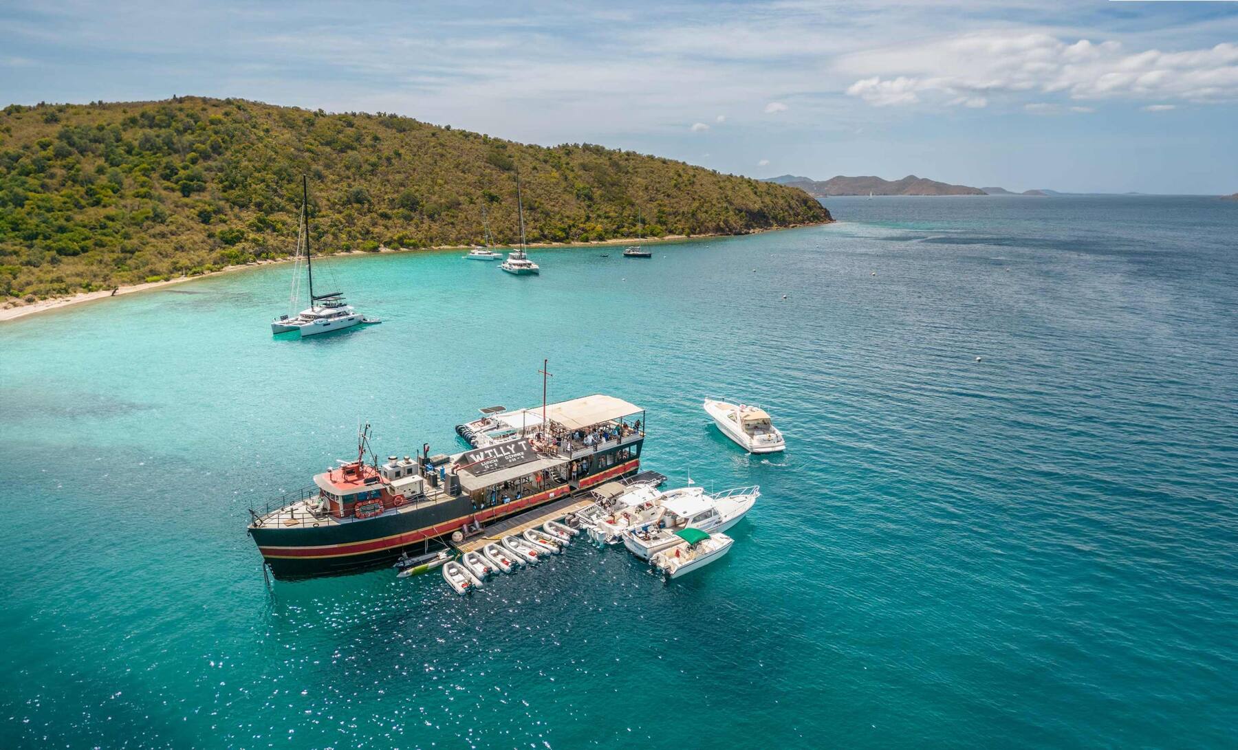
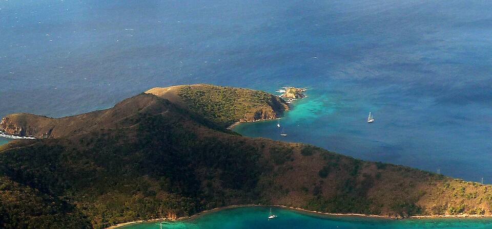
An uninhabited, privately owned island at the southern end of the British Virgin Islands: about 600 acres of dry, goat-grazed hills round the Bight, one of the most sheltered harbours in the territory. No town, no ferry, no roads — you come by boat, from St. Thomas, St. John or Tortola, for the sea caves at Treasure Point, the Indians and the floating bar.
Live schedules, official fares, today's beach and weather reads, cameras and maps — each one opens the full page.
Norman Island drawn from the OpenStreetMap shoreline: the Bight opening west, the Caves at Treasure Point on its southern arm, and the Indians beside Pelican Island to the north-west. There are no roads to draw. Tap a pin for more.
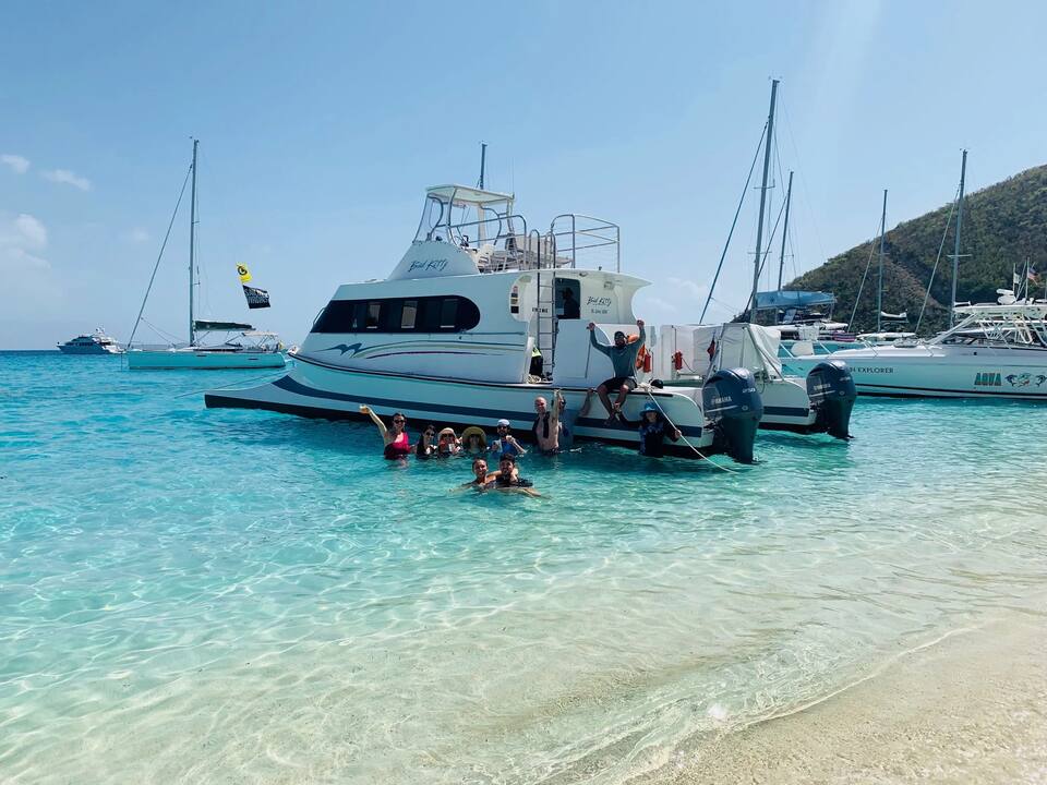
Norman Island has no airport, no ferry dock and no scheduled public ferry: everyone arrives by boat. Most visitors come for the day on a day sail or a powerboat charter from St. Thomas, St. John or Tortola; sailors on a bareboat or crewed charter pick up a mooring in the Bight and stay the night.
From the U.S. Virgin Islands it is an international trip. Norman Island is not a port of entry, so your boat first clears BVI customs and immigration — at West End or Road Town on Tortola, or at Great Harbour on Jost Van Dyke — and every passenger needs a passport and pays the BVI entry fees; on a day charter the captain handles the paperwork. From Tortola it is a short sail south across the Sir Francis Drake Channel.
Request a day charter · Day-trip charter routes · What a day charter costs · BVI customs & entry fees · BVI sailing: the chart table · Mooring fields · 7-day BVI charter planner
There are no public roads, cars or taxis. From a mooring in the Bight you swim or take the dinghy to the beach and to the floating bar; the Caves are round Treasure Point at the Bight's southern entrance, and the Indians about a mile north-west — go by dinghy or boat rather than swimming.
Dirt tracks climb from the Bight onto the ridges. The island is private land and the hills are dry, steep and shadeless: go early, carry water, and ask ashore before you set off.
Norman Island has one beach most visitors set foot on: the sand at the head of the Bight, where the dinghies land. The island's other coves are small and rocky, and most are easiest to reach by dinghy. Numbers match the map. For which one is calm and uncrowded today, open the beach report.
The beach at the head of Norman Island's big harbour, with the restaurant and bar ashore behind it and the moorings in front. The water is calm in the usual easterly trade wind; snorkelers swim along the rocky shores either side.
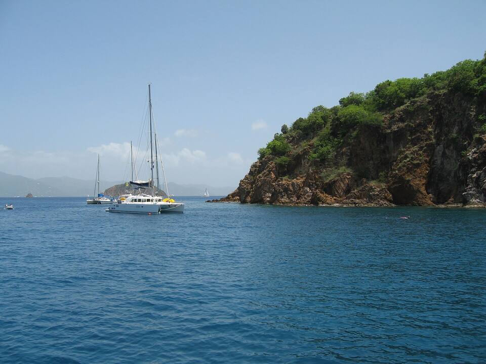 Photo: Matt & Nayoung, CC BY 2.0
Three sea caves at water level in the cliffs of Treasure Point, just outside the Bight's southern entrance. Tie up to a National Parks Trust day ball and swim in: fish crowd the shade, and the deepest cave is dark enough that a waterproof light helps. Go on a calm morning — swell surges into the caves.
Four rock pinnacles rising from the sea beside Pelican Island, about a mile north-west of the Bight, with reef and fish from the surface down to about 50 ft — one site for snorkelers and divers alike. Day-use park moorings only, no anchoring, and it is open water: lumpy when the trade winds are up.
A bar on a boat — the Willy T — moored in the Bight a short way off the beach, reached by dinghy or a swim from your boat. Jumping off the top deck is the tradition. The original, a copy of an old schooner, was wrecked by Hurricane Irma in 2017; its owners built a new boat, back in the Bight since 2019.
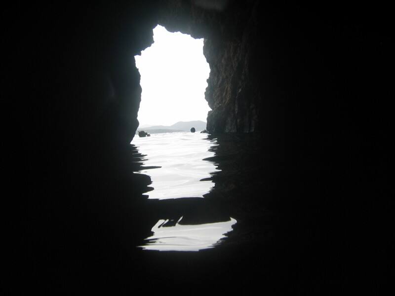 Photo: Cemerp, CC BY 3.0
Norman Island is one of several islands said to have inspired Robert Louis Stevenson's Treasure Island. Behind the legend is a documented hoard: in 1750 mutineers from the Spanish galleon Nuestra Señora de Guadalupe buried chests of silver coins here, and people from Tortola dug much of it up before the colonial authorities recovered part. Tales of gold found in the caves since have never been proven.
The quiet bay on Norman's north shore, east of the Bight: you mostly anchor, in sand, rather than pick up a ball; there is room for only a handful of boats, and the rocky shore is a good snorkel. Sheltered from most directions — skip it in a south wind.
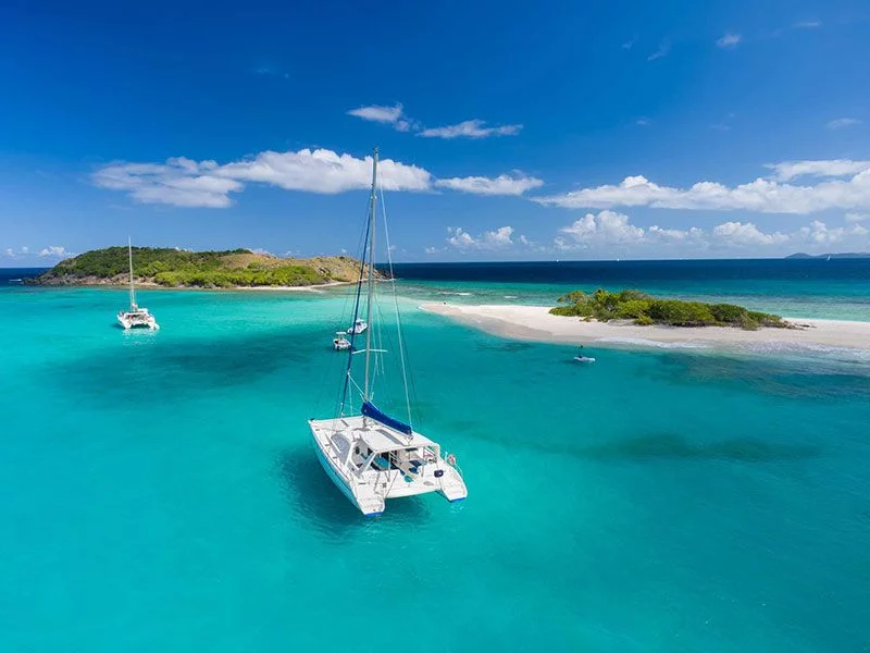
Norman is a classic first stop on a bareboat week out of Tortola: a short sail south across the channel, a ball in the Bight, dinner ashore and the Caves at first light. Peter Island, the RMS Rhone wreck off Salt Island and Cooper Island lie along the same side of the channel.
Everything to eat and drink is at the Bight: the restaurant and bar on the beach, and the floating bar moored off it. There is no store beyond basics ashore, so provision before you come. Opening hours change with the season and the weather — check ahead on VHF or with your captain.
Warm all year: highs in the mid-80s °F and a steady easterly trade wind. The Bight is sheltered from the trade-wind swell; the Caves and the Indians are not, so check the sea before a snorkel trip. December to April is the dry, busy sailing season. June to November is hurricane season, with the peak from mid-August to mid-October, when the anchorage is at its quietest.
| Day | Sky | High / low | Rain | Wind | Seas |
|---|---|---|---|---|---|
| Today | Drizzle | 85° / 82°F | 35% | ESE 19 mph | 3.8 ft |
| Tomorrow | Showers | 84° / 78°F | 74% | ESE 19 mph, gusts 25 | 4.5 ft |
| Wed, Oct 7 | Thunderstorms | 82° / 77°F | 76% | ESE 20 mph, gusts 27 | 4.1 ft |
| Thu, Oct 8 | Drizzle | 84° / 79°F | 73% | E 17 mph | 3.2 ft |
| Fri, Oct 9 | Drizzle | 83° / 83°F | 43% | E 18 mph | 3.5 ft |
| Sat, Oct 10 | Thunderstorms | 83° / 80°F | 69% | ENE 14 mph, gusts 22 | 2.8 ft |
| Sun, Oct 11 | Drizzle | 82° / 78°F | 74% | ESE 17 mph, gusts 24 | 2.2 ft |
Open-Meteo forecast for Norman Island, refreshed every half hour. Live weather map · BVI sailing weather & marine zones
Norman Island has no reading of its own; these are the waters off Tortola, across the channel. Daily-mean sea-surface temperature, averaged 2021–2024 (Open-Meteo marine reanalysis): warmest in Sep (86.3°F), coolest in Feb (79.3°F). Hurricane history map
There is no pier on Norman Island. The ships that call are the smallest in the territory — sailing ships and small cruise ships — and they anchor off the Bight and take their guests by tender to the beach, the Caves or the floating bar.
No ship calls at The Bight anchorage in the next 30 days.
Norman Island is in the BVI. Coming from St. Thomas or St. John, every passenger needs a passport and pays the BVI entry fees, and the boat clears customs at a port of entry before it reaches Norman.
The Caves and the Indians are at their best and emptiest early. Sleep in the Bight and snorkel at 8, or come back after 3 when the day boats have gone.
Swell surges into the caves and makes the Indians rough. A calm morning is the one to use; a waterproof light makes the back of the big cave worth the swim.
The National Parks Trust balls at the Caves and the Indians are day use only, for boats with the marine-park permit. Anchoring is not allowed at the Indians.
Beyond basics at the Bight there is nothing to buy on Norman Island. Bring water, ice and food for the day.
Do not stand on coral or touch it, and keep fins up in the shallows at the Indians, where the reef comes close to the surface.
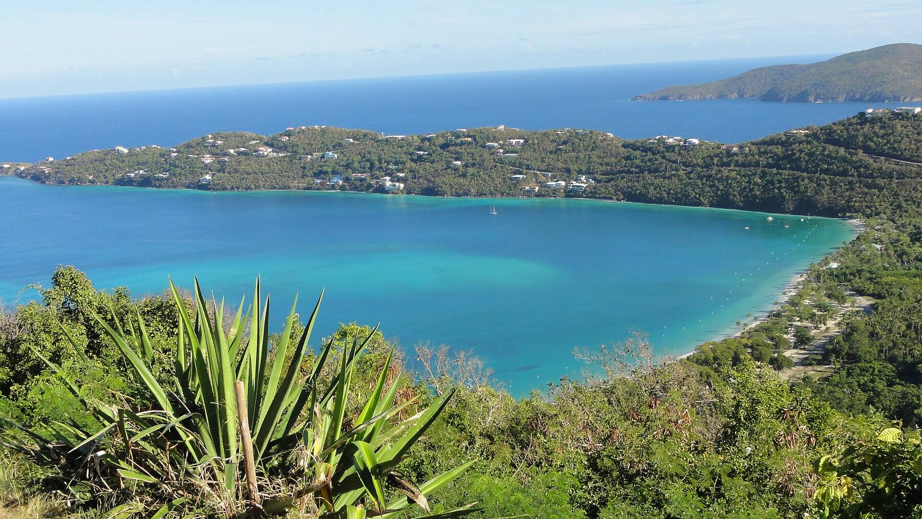 U.S. Virgin IslandsSt. ThomasThe airport, the cruise docks, the Red Hook ferries, taxi fares and the best beaches on a true map of St. Thomas — with today's weather and the next boat to St. John.
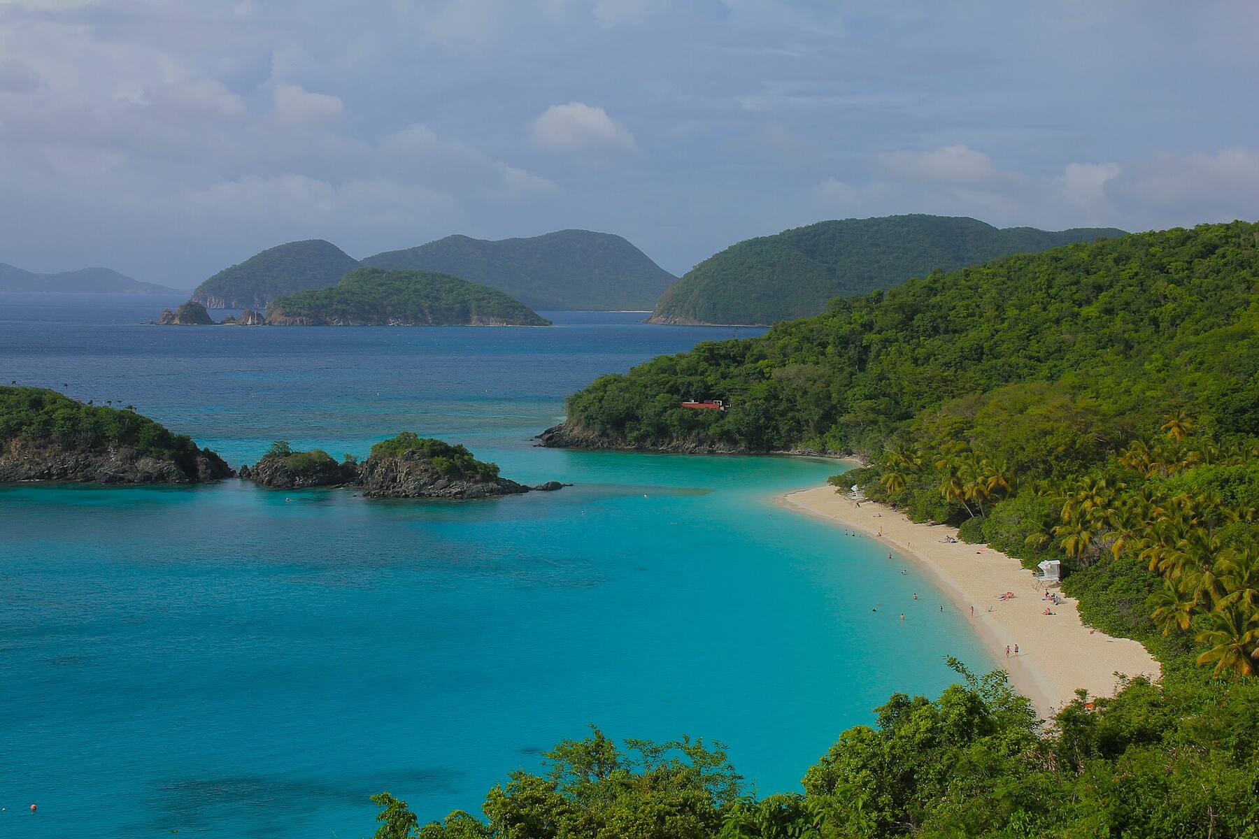 U.S. Virgin IslandsSt. JohnFerries, taxis, beaches, hikes and a true map of St. John — two-thirds national park — with today's weather and the next boat from Red Hook.
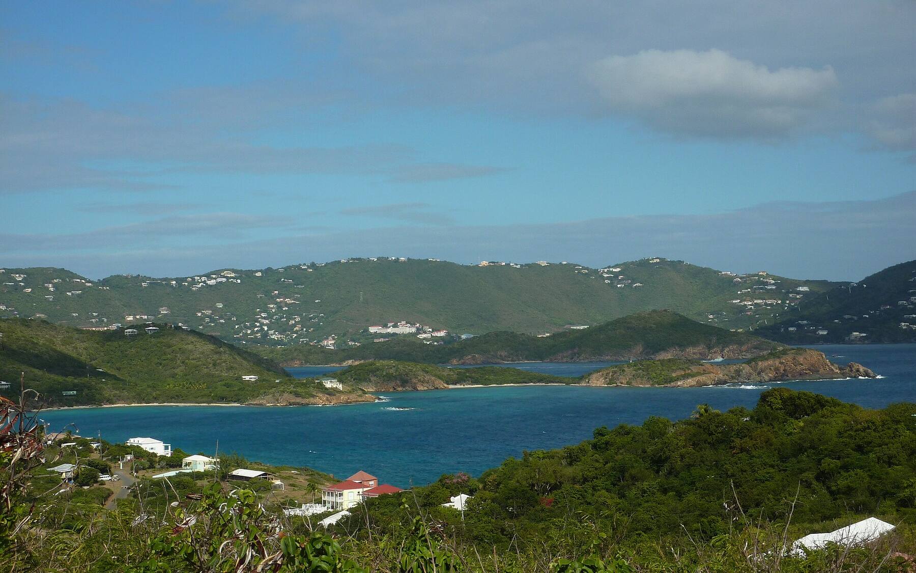 U.S. Virgin IslandsWater IslandThe ferry from Crown Bay, Honeymoon Beach, Fort Segarra and a true map of the smallest U.S. Virgin Island, with today's weather and the next boat.
 U.S. Virgin IslandsSt. CroixGetting from St. Thomas to St. Croix by seaplane or ferry, the airport, taxi fares, Buck Island, Christiansted, Frederiksted and every main beach on a true map.
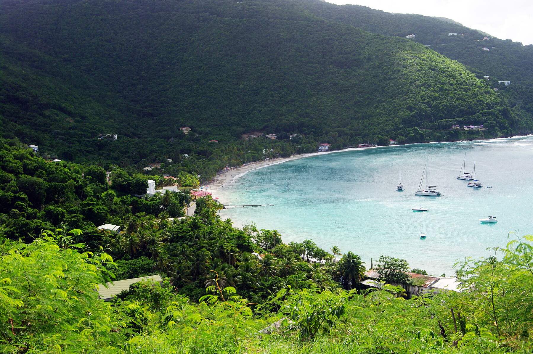 British Virgin IslandsTortolaFerries, taxis, beaches and a true map of Tortola — the BVI's capital island and charter base — with today's weather and the next boat from St. Thomas.
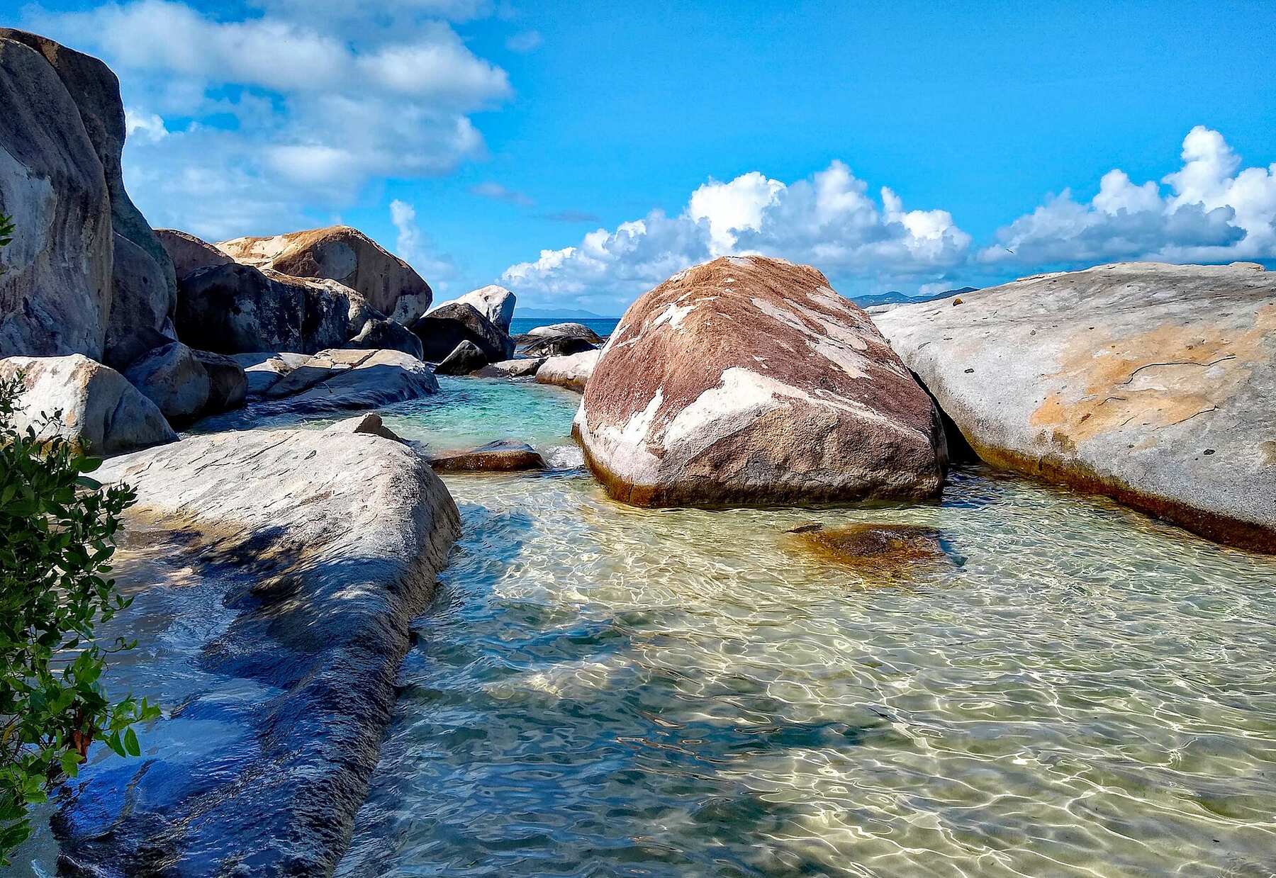 British Virgin IslandsVirgin GordaThe Baths, Spring Bay, Savannah Bay and North Sound on a true map, with the next ferry from Road Town, the official taxi fares and today's weather.
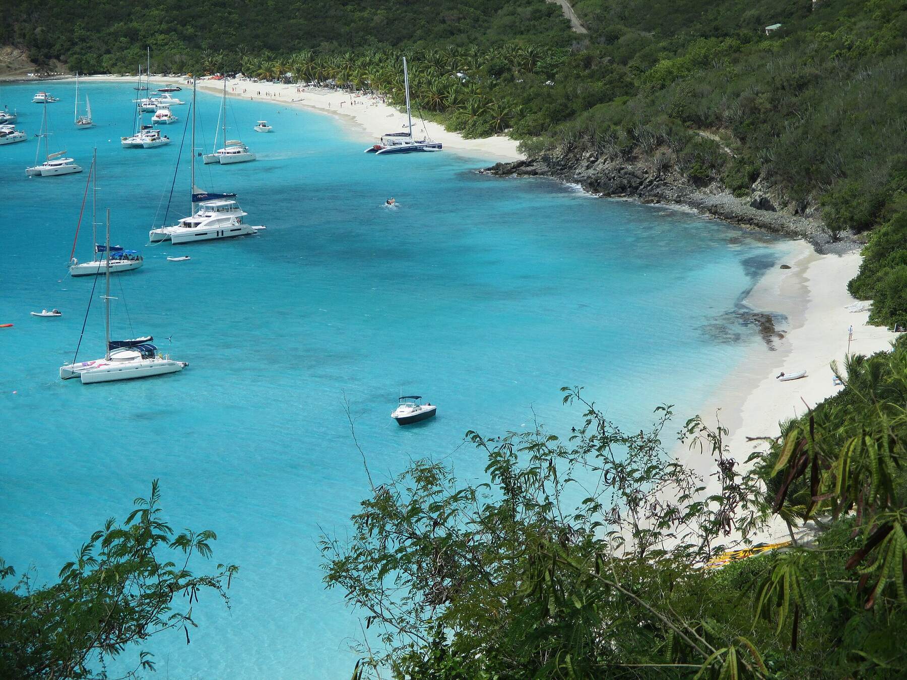 British Virgin IslandsJost Van DykeHow to get to Jost Van Dyke, what the taxis cost, White Bay and the Soggy Dollar, Foxy's in Great Harbour, the Bubbly Pool and Sandy Spit — with today's weather and the next boat.
By boat only — there is no airport, ferry dock or scheduled public ferry. Most visitors come on a day sail or powerboat charter from St. Thomas, St. John or Tortola; sailors on a BVI charter pick up a mooring in the Bight. Boats from the U.S. Virgin Islands clear BVI customs first, at West End or Road Town on Tortola or Great Harbour on Jost Van Dyke.
No. None of the Virgin Islands' scheduled passenger ferries call at Norman Island. You need a day charter, a day-sail trip or your own boat.
Yes. Norman Island is in the British Virgin Islands, so a trip from the U.S. Virgin Islands is international: every passenger needs a passport, the boat clears BVI customs and immigration at a port of entry first, and BVI entry fees apply.
Yes. The three caves at Treasure Point, just outside the Bight, are at water level and you can swim into them from the National Parks Trust day moorings. Go on a calm day — swell surges into the caves — and take a waterproof light for the darker back of the largest one.
Four rock pinnacles beside Pelican Island, about a mile north-west of the Bight, and one of the best-known snorkel and dive sites in the BVI: reef and fish from the surface down to about 50 ft. Boats use the National Parks Trust day moorings; anchoring and overnight stays are not allowed.
It is one of several islands said to have inspired Robert Louis Stevenson's Treasure Island. Treasure really was buried here: in 1750 mutineers from the Spanish galleon Nuestra Señora de Guadalupe hid chests of silver coins on the island, and people from Tortola dug up much of it. Later tales of gold in the caves have never been proven.
Not ashore — there is no hotel, and the island has no permanent residents. People stay the night on their boats, on a mooring in the Bight, with dinner at the restaurant on the beach or at the floating bar.
December to April is the dry season with the most reliable sailing weather, and the busiest — arrive early for a mooring. May, June and November are quieter and still warm. August to October is the peak of hurricane season, when there are fewest boats.