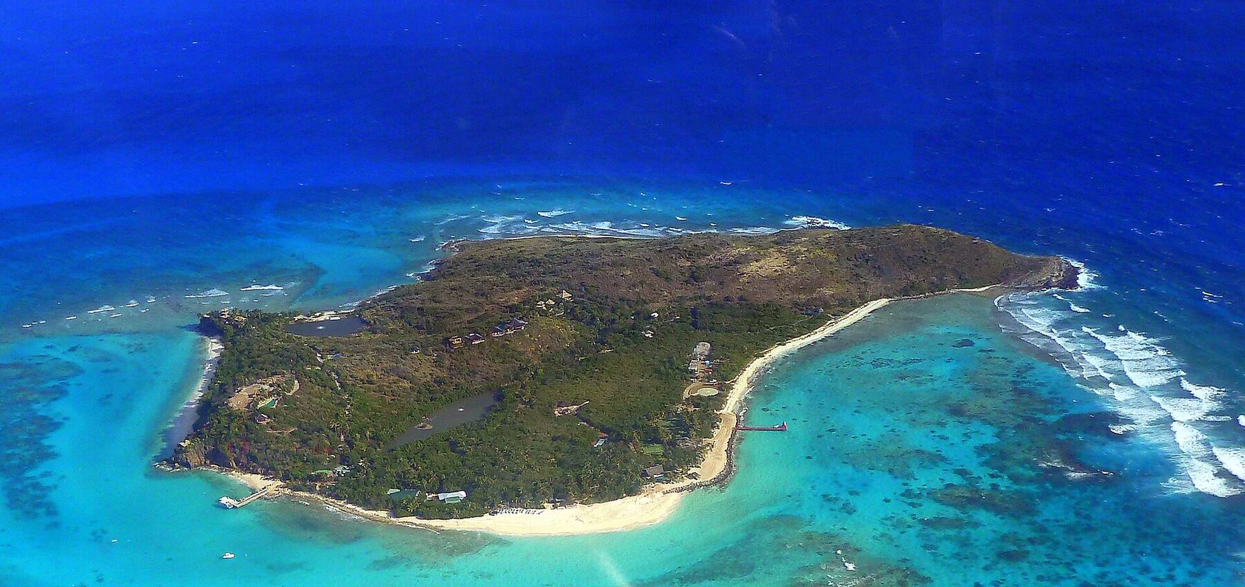
The odd one out of the Virgin Islands: a flat island of coral and limestone about 15 miles north of Virgin Gorda, its highest ground around 28 feet above the sea, ringed by Horseshoe Reef. A few hundred people live here. Visitors come by ferry, small plane or yacht for empty north-shore beaches, the flamingos in the salt ponds and lobster grilled on the sand.
Anegada drawn from the OpenStreetMap shoreline, with the roads the taxis drive and the sand of the main beaches. The island is flat — the salt ponds fill much of the west end, and Horseshoe Reef runs off the east end out of the frame. Tap a pin for its page.
Anegada sits on its own, about 15 miles north of Virgin Gorda, and there is no daily boat. The scheduled way is Smith's Ferry from Road Town on Tortola, which calls at Virgin Gorda on the way up and lands at the Setting Point dock — it runs only on published sailing dates, a few days a week, so the table below is the place to start. Fly into Beef Island (EIS) on Tortola, take a taxi to Road Town, and cross.
There is also a small airstrip, Auguste George Airport, served by charter flights and small planes from Beef Island. From the U.S. Virgin Islands, an occasional direct boat leaves Red Hook on St. Thomas and Cruz Bay on St. John for a long day trip, and runs extra for the Lobster Festival in November. Many visitors come on a chartered yacht and pick up a mooring off Setting Point — though the approach is shallow and some charter companies keep their boats away.
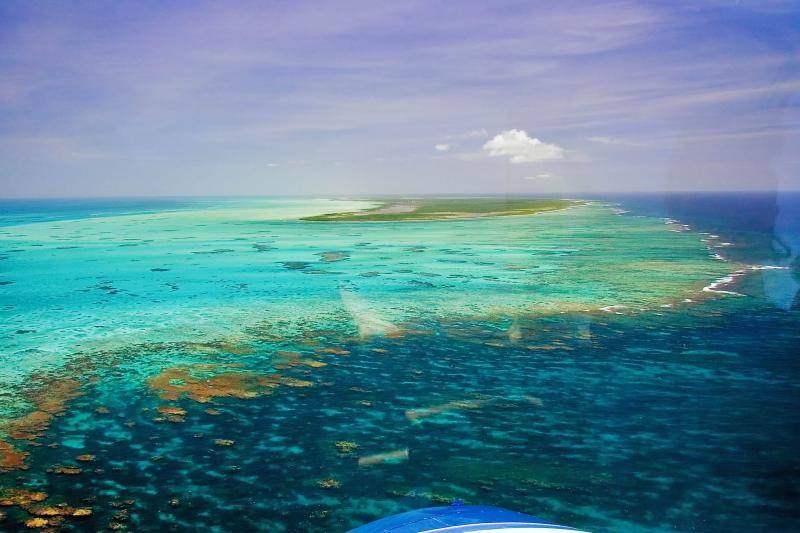
Anegada's west end from the air: a low green island ringed by white sand and reef Photo: Walker Mangum, Public domain
Fastest: Road Town, Tortola ↔ Setting Point, 90 min. Children and bag fees vary by route — each timetable page has the full fare table and booking links.
Direct from St. Thomas and St. John
These crossings are international: bring a passport, complete the BVI arrival card online, clear BVI customs and immigration and pay the BVI entry fees, then clear U.S. customs when you land back in Red Hook or Cruz Bay.
Check the ferry date, not just the weekday: the Road Town boat sails on confirmed dates only, and weather can cancel it. Book ahead — it fills.
A day trip on the Road Town ferry is possible only on a day with both a morning boat up and an afternoon boat back. Otherwise plan to stay a night or two.
Sailing up? Come in through the marked channel to Setting Point in good light, never at night; Horseshoe Reef has wrecked hundreds of ships. The anchorage has BoatyBall moorings released at 7 AM.
Coming from St. John or St. Thomas, bring your passport: everyone, U.S. citizens included, clears BVI entry.
The island is flat but long — The Settlement is about 4 miles from the Setting Point dock, and the north-shore beaches are a few miles from both — so you will want wheels. A handful of open-air taxis meet the ferry and run to the beaches at an official per-person fare; the table below has the fare from Setting Point to Loblolly Bay, Cow Wreck and the Anegada Beach Club, and the fare calculator has The Settlement.
Many visitors rent a car, a jeep or a scooter near Setting Point instead and do a loop of the beaches. There are only a few roads and little traffic. Drive on the left, and watch for cattle and goats that wander onto the road.
A palm leaning out over the water at Anegada's west end Photo: ScubaBear68, CC BY 2.0
Fares set by the BVI Road Traffic (Passenger Fares) Regulations (rates revised December 2022). Per person, in tiers by the size of your group. There are very few taxis — book your ride back. Fare calculator for any two stops · Setting Point → Loblolly Bay
Beaches
The best beaches on Anegada
Anegada's beaches are long, white and mostly empty. The north shore faces the Atlantic behind the reef — Loblolly Bay, Flash of Beauty, Keel Point and Cow Wreck — while Pomato Point is on the calmer south side near the dock. Numbers match the map. For which one is calm and uncrowded today, open the beach report.
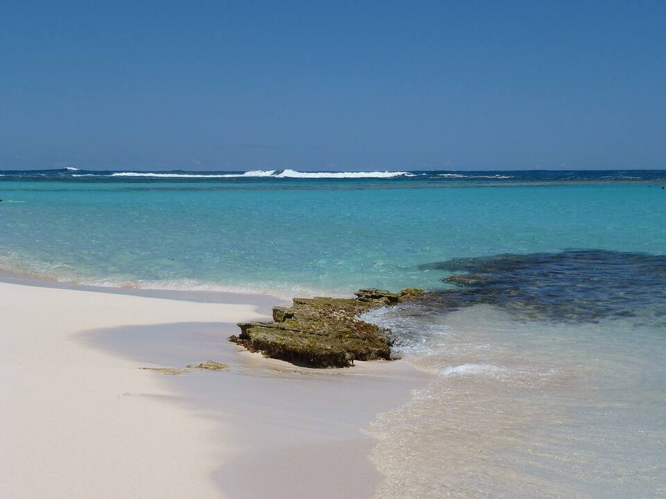
The island's best-known beach: a long curve of white sand on the north shore, with the reef close enough to snorkel straight from the beach on a calm day. Big Bamboo, at the west end, serves lunch and rents gear. North swells in winter can make the water rough.
Taxi from Setting Point: $20 for one rider, $10 each for three or more
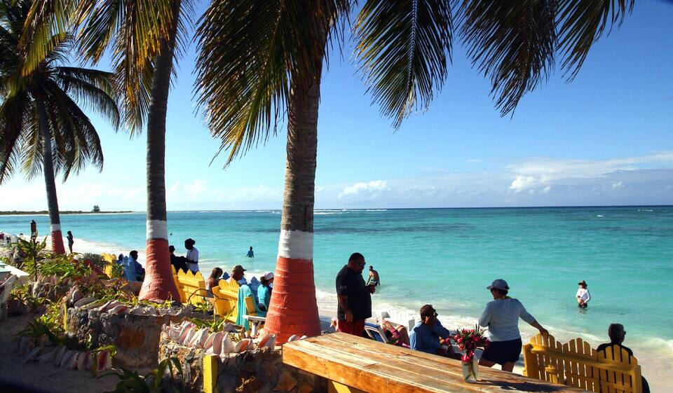
Near the north-west tip: shallow, clear water inside the reef and the Cow Wreck Beach Bar on the sand — named, the story goes, for a wreck whose cargo of cow bones washed ashore. The classic Anegada lunch stop.
Taxi from Setting Point: $20 for one rider, $10 each for three or more
The long stretch of north shore between Cow Wreck and the middle of the island, in front of the Anegada Beach Club. Miles of sand and usually nobody on it.
Taxi from Setting Point (fare to the Anegada Beach Club at Keel Point): $20 for one rider, $10 each for three or more
The reef runs a short swim off the north shore, so you can snorkel from the sand: coral heads, reef fish and the odd ray in clear, shallow water. Go on a calm morning — when a north swell is running the reef breaks hard and the current pulls. Gear can be rented at the beach in season.
Caribbean flamingos had vanished from Anegada by the mid-20th century; the BVI National Parks Trust brought them back in 1992 and the flock now numbers a couple of hundred. They feed in the salt ponds of the west end — a protected Ramsar wetland. The lookout on the road east of Setting Point is the easiest place to see them; bring binoculars and keep your distance.
One of the longest barrier reefs in the Caribbean, roughly 18 miles from the island's east end, and the reason so many ships never made it past Anegada — hundreds of wrecks lie on and around it. The reef is protected and anchoring on it is prohibited: see it with a licensed dive or snorkel operator, not your own boat.
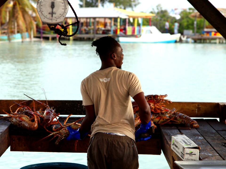
Anegada's spiny lobster is the reason many boats make the trip: grilled whole on the beach at the Setting Point restaurants and at the north-shore bars. Order ahead — most kitchens want your lobster order by mid-afternoon. The Anegada Lobster Festival takes over the island each year in late November (27–29 November in 2026, per BVI Tourism), with extra boats from Tortola and the USVI.
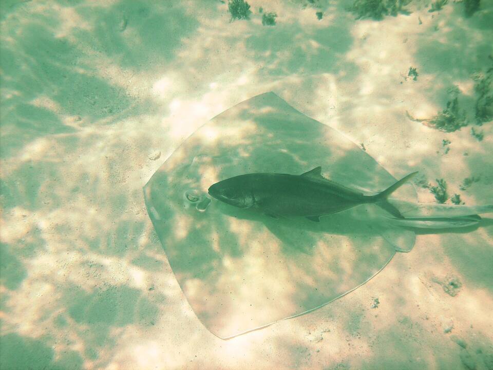
The bar on the sand at Cow Wreck Beach is the island's best-known lunch: lobster, conch fritters and a rum punch with your feet in shallow, clear water — where southern stingrays cruise the sand a few yards out. The bar closes for part of the off-season; the list below says when.
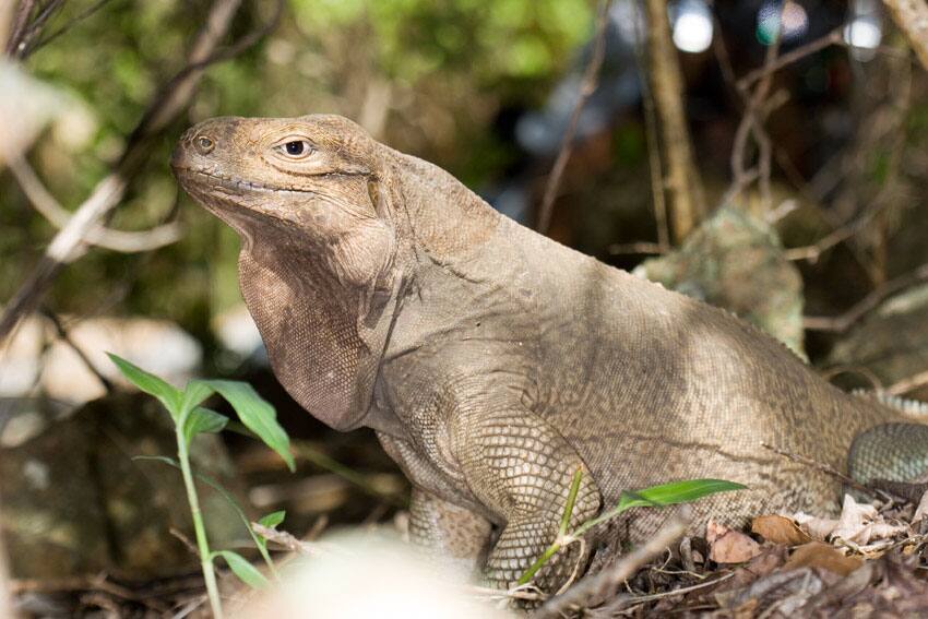
The Anegada rock iguana lives wild nowhere else on Earth and is critically endangered — feral cats eat the young. Since 1997 the BVI National Parks Trust has raised hatchlings at a headstart facility in The Settlement, behind the government administration building, and released them once they are big enough to survive. Ask locally about visiting, then walk the village's few quiet streets.
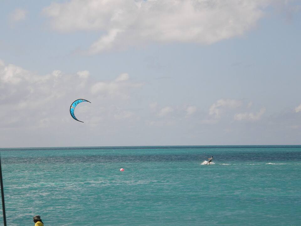
The shallow, sandy flats inside the reef are known for bonefishing — local guides take anglers out by boat or on foot. The same flat water and the steady winter trade wind draw kiteboarders, especially off the south shore around Setting Point; ask ashore about lessons and gear in season.
Eating on Anegada means lobster: the restaurants by the Setting Point anchorage grill it on the beach at night, and the north-shore bars serve it for lunch. Kitchens cook what has been ordered, so book your lobster ahead. Several places close for part of the late-summer off-season — the list below says who, from our seasonal-closures tracker.
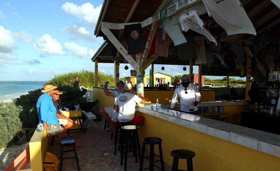
The Cow Wreck Beach Bar, Anegada: an open-air bar under a thatched roof, the beach behind Photo: anoldent, CC BY-SA 2.0
Setting Point & the south shore
Anegada Reef HotelSetting Point's long-running hotel, open since 1976, with a restaurant and beach bar on the anchorage; lobster grilled on the beach in the evening.
Potter's by the SeaRestaurant and bar beside the Setting Point ferry dock, with a dinghy dock for boats in the anchorage; lobster, fish and live music some nights.
Lobster Trap RestaurantClosed for the season · back Oct 31Waterfront restaurant at Setting Point, by the anchorage, known for grilled lobster.
Neptune's Treasure BarLong-running family hotel and restaurant on the beach just west of Setting Point: lobster and the day's fish, with rooms and cottages by the water.
The north shore
Cow Wreck Beach BarClosed for the season · back TBDLegendary beach bar on the north-west shore. Frozen painkillers, grilled lobster, and the kind of 'end of the world' ambience that makes you forget to leave.
Anegada Beach ClubBeach resort at Keel Point on the north shore: palapa tents and rooms, a pool, a restaurant and a beach bar serving lobster, conch and grilled fish.
Big Bamboo Beach Bar (Loblolly Bay)Loblolly Bay's long-running beach bar and restaurant at the west end of the bay: lobster, conch and grilled fish, palapas on the sand and snorkel gear to rent.
Warm all year: highs in the mid-80s °F and a steady easterly trade wind, which blows straight across the flat island. December to April is the dry, busy sailing season. June to November is hurricane season, with the peak from mid-August to mid-October — when several restaurants close and the island is at its quietest. In winter, north swells break hard on the reef and can make the north-shore water rough.
Daily-mean sea-surface temperature, averaged 2021–2024 (Open-Meteo marine reanalysis): warmest in Sep (86.5°F), coolest in Feb (79.4°F). Hurricane history map
History
A short history of Anegada
Nov 14, 1493
Columbus names the Virgin Islands
Seventeen Spanish ships anchor at Salt River, St. Croix. A landing party fights the Kalinago there — the first recorded battle between Europeans and Native Americans. Columbus names the chain Las Once Mil Vírgenes and claims it all for Spain; Spain never settles any of it.
1672
England seizes Tortola from the Dutch
In the Third Anglo-Dutch War, Colonel William Stapleton's force from the Leeward Islands takes Tortola. Virgin Gorda and Anegada follow by 1680 — the British Virgin Islands begin here.
Nov 15, 1960
The British Virgin Islands stand alone
Separated from the Leeward Islands, the BVI becomes its own colony, and on November 15, 1960 raises the flag it flies today — the Blue Ensign with the badge of St. Ursula and her lamps. A 1967 constitution brings elected government; today it is a British Overseas Territory.
Today
Two flags, one archipelago
St. Thomas, St. John, St. Croix and Water Island are the U.S. Virgin Islands. Tortola, Virgin Gorda, Jost Van Dyke and Anegada are the British Virgin Islands. Cruise ships and ferries cross the line every day.
Anegada is in the British Virgin Islands. Arriving from St. Thomas or St. John, everyone — U.S. citizens included — shows a passport and pays BVI entry fees.
Order your lobster early
Restaurants grill what has been ordered. Call or stop by in the morning or early afternoon for dinner — boats in the anchorage book on VHF 16.
Book the ride back
There are only a few taxis on the island. Take your driver's number and arrange the return, especially for the ferry.
Bug spray and sun
The island is flat with little shade, and mosquitoes and no-see-ums come out near the ponds at dusk. Bring repellent, a hat and plenty of water.
Carry cash
Taxis, rentals and some bars prefer cash, and banking on the island is limited. Bring U.S. dollars from Tortola or St. Thomas.
Respect the reef
Horseshoe Reef is protected: no anchoring on it, and take nothing from the wrecks. Snorkel from the beach or with a licensed operator.
By the Smith's Ferry boat from Road Town, Tortola, which calls at Virgin Gorda on the way and lands at Setting Point — it runs on published dates a few days a week, not daily, so check the timetable for your date. There are also charter flights and small planes from Beef Island (EIS) to Auguste George Airport, occasional direct boats from Red Hook (St. Thomas) and Cruz Bay (St. John), and many visitors sail up on a chartered yacht.
Can you do a day trip to Anegada?
Yes, on the right day. The Road Town ferry makes a day trip possible only on a sailing date with a morning boat up and an afternoon boat back; the occasional direct boat from St. Thomas and St. John is run as a day trip. A charter flight or a day charter from Virgin Gorda also works. Most people who make the effort stay at least one night.
Do you need a passport to go to Anegada?
From the U.S. Virgin Islands, yes: Anegada is in the British Virgin Islands, so everyone arriving from St. Thomas or St. John — U.S. citizens included — needs a passport and clears BVI entry. From Tortola or Virgin Gorda it is a domestic trip within the BVI.
How do you get around Anegada?
By taxi or a rental. A few open-air taxis meet the ferry at Setting Point and charge official per-person fares — Setting Point to Loblolly Bay is $20 for one rider, $10 each for three or more. Many visitors rent a car, jeep or scooter instead: the island is flat but about 11 miles long, and the north-shore beaches are a few miles from the dock.
Where can you see flamingos on Anegada?
In the salt ponds of the island's west end, where a flock of a couple of hundred Caribbean flamingos feeds. They were reintroduced by the BVI National Parks Trust in 1992 after disappearing from the island. The lookout on the road east of Setting Point is the easiest viewpoint; bring binoculars and keep your distance.
When is the Anegada Lobster Festival?
Every year in late November — in 2026 it runs 27 to 29 November, according to BVI Tourism. The island's restaurants serve spiny lobster every way they can, with music and extra ferries from Tortola, St. Thomas and St. John.
What is Horseshoe Reef?
The barrier reef off Anegada's east end, roughly 18 miles long and one of the largest in the Caribbean. It has caused hundreds of shipwrecks over the centuries. It is protected: anchoring on the reef is prohibited, and many yacht charter companies restrict sailing near it.
Why is Anegada so flat?
It is the only coral and limestone island in the Virgin Islands — every other one is volcanic. Its highest ground is only about 28 feet above sea level, which is why the Spanish called it the drowned land, and why ships so often failed to see it before they hit the reef.
Photo & map credits
Loblolly Bay, Anegada: white sand curving away along the north shore, turquoise water over the reef and palm fronds overhead — Kathleen Tyler Conklin, CC BY 2.0, via Wikimedia Commons (resized).
The beach at Loblolly Bay: pale sand, clear shallow water and low green scrub along the shore — Cayeldo, CC BY-SA 3.0, via Wikimedia Commons (resized).
A rock ledge running into clear water at Loblolly Bay, with the reef dark under the surface and surf breaking on the outer reef — Cayeldo, CC BY-SA 3.0, via Wikimedia Commons (resized).
Cow Wreck Beach from the bar: palms, picnic tables and swimmers in shallow turquoise water — anoldent, CC BY-SA 2.0, via Wikimedia Commons (resized).
The Cow Wreck Beach Bar, Anegada: an open-air bar under a thatched roof, the beach behind — anoldent, CC BY-SA 2.0, via Wikimedia Commons (resized).
A southern stingray on the sand at Cow Wreck, Anegada, with a rainbow runner swimming over it — ScubaBear68, CC BY 2.0, via Wikimedia Commons (resized).
Sorting spiny lobsters at a waterfront stand on Anegada during the Lobster Festival (cropped) — anoldent, CC BY-SA 2.0, via Wikimedia Commons (resized).
An Anegada rock iguana (Cyclura pinguis) in the scrub on Anegada — Alejandro Sanchez, CC BY-SA 3.0, via Wikimedia Commons (resized).
A kiteboarder on the flat turquoise water inside the reef off Anegada — Kevin Stroup, CC BY 3.0, via Wikimedia Commons (resized).
A palm leaning out over the water at Anegada's west end — ScubaBear68, CC BY 2.0, via Wikimedia Commons (resized).
Anegada's west end from the air: a low green island ringed by white sand and reef — Walker Mangum, Public domain, via Wikimedia Commons (resized).
Horseshoe Reef from the air: coral heads and turquoise shallows running out from Anegada toward the horizon — Walker Mangum, Public domain, via Wikimedia Commons (resized).
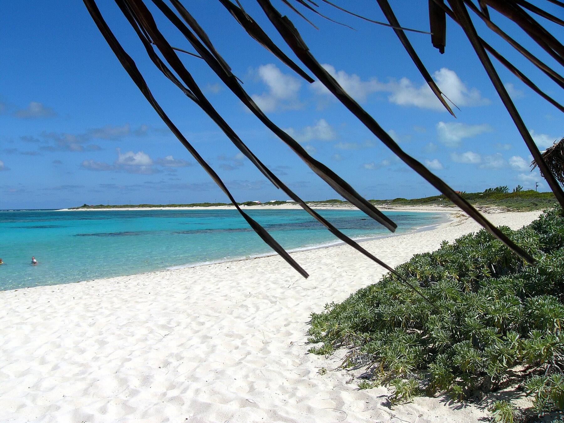
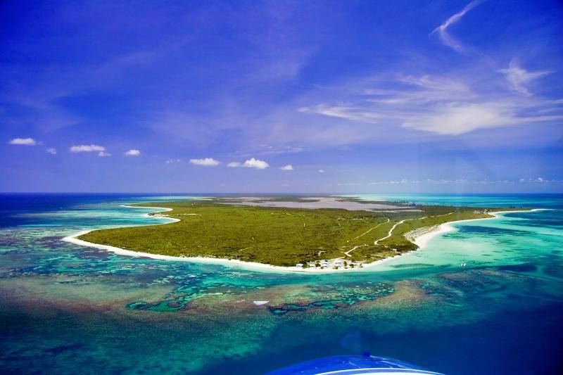
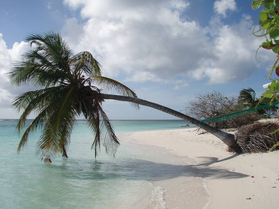
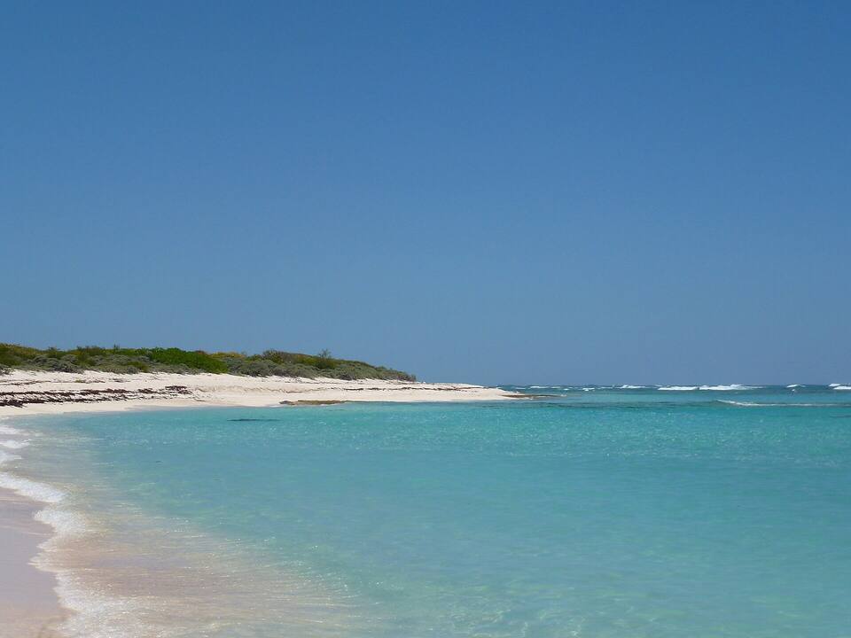 Photo: Cayeldo, CC BY-SA 3.0