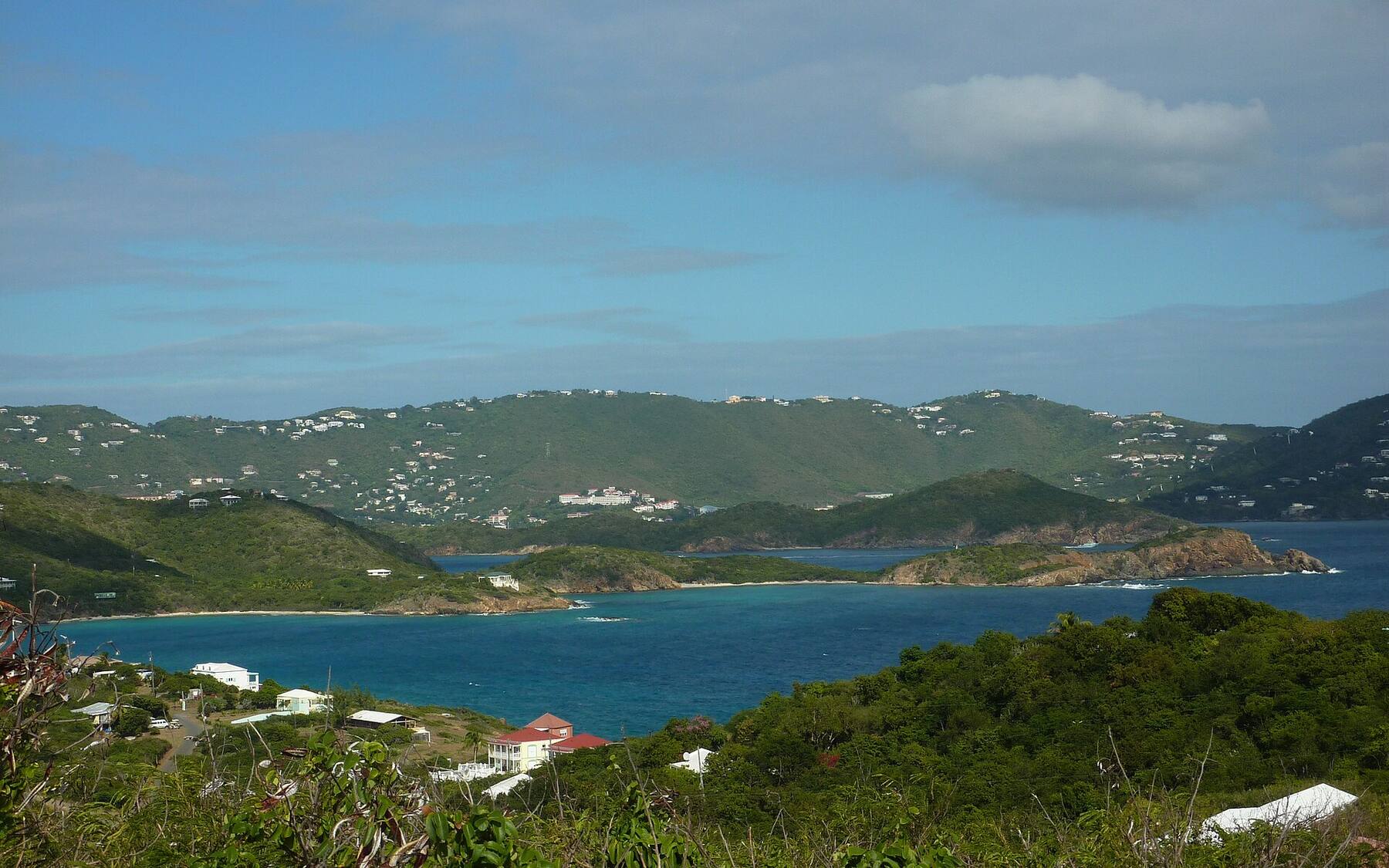
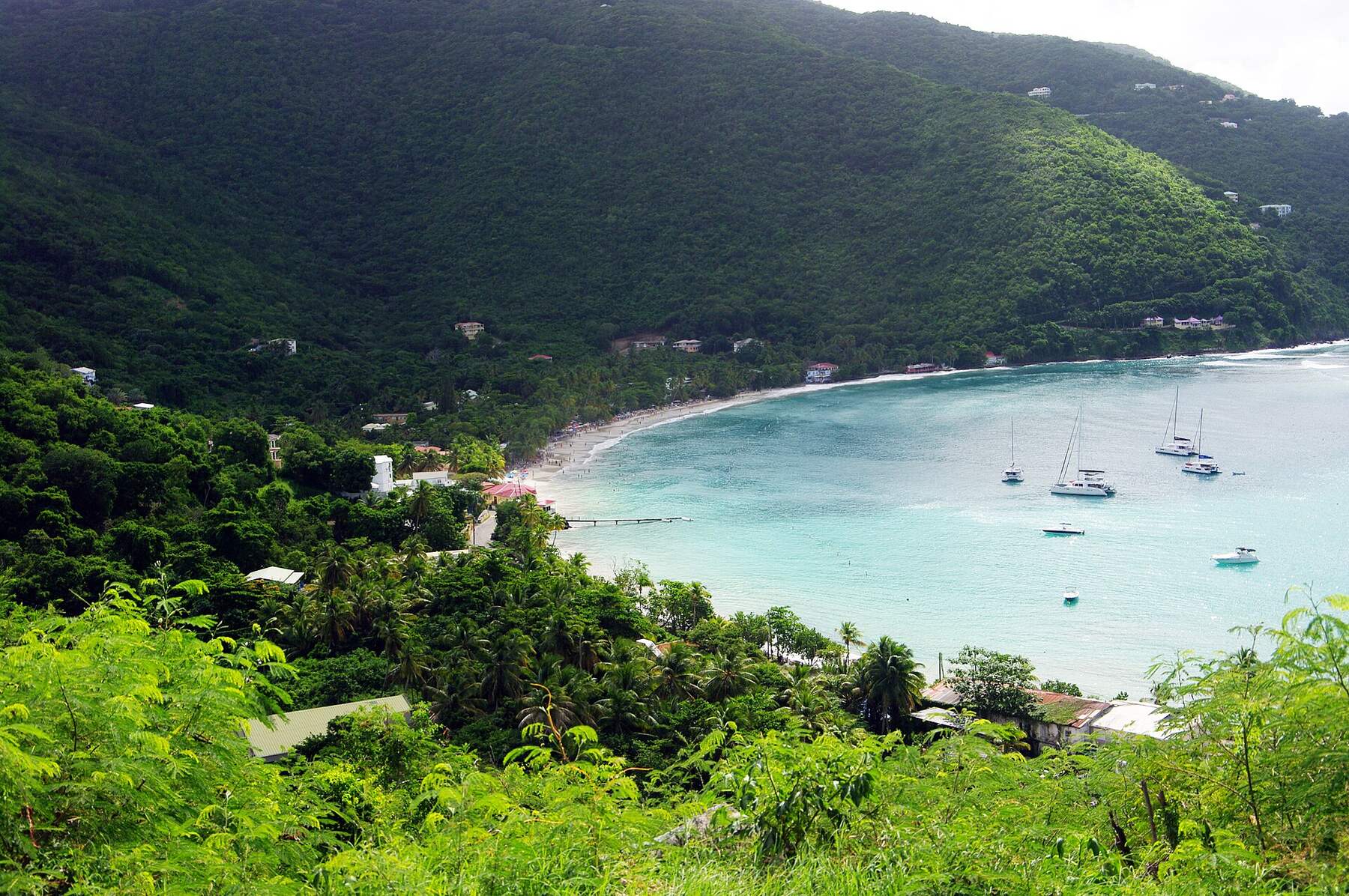
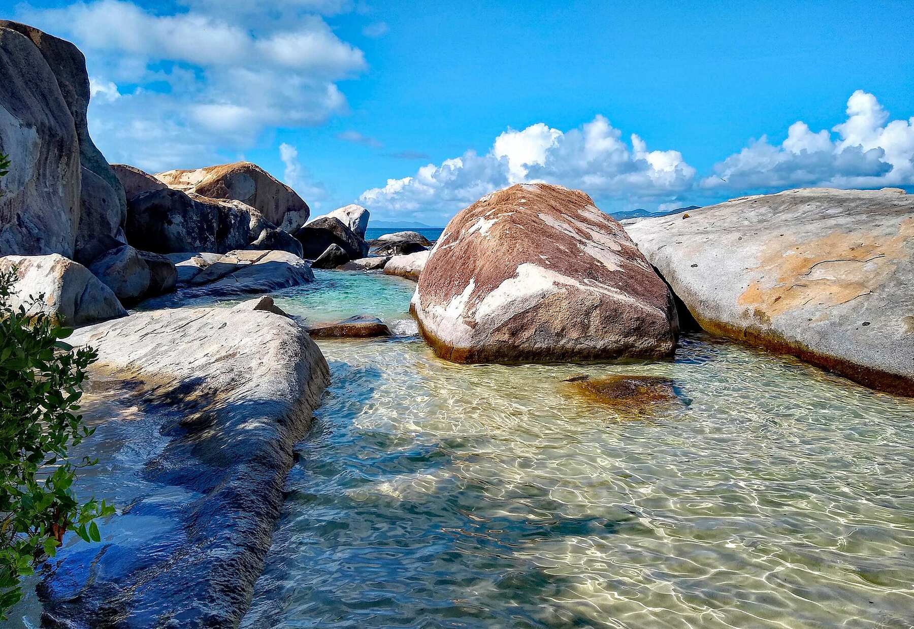
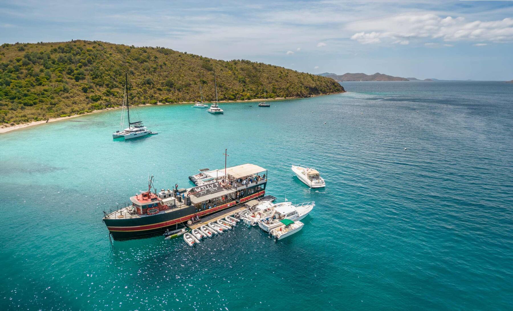
The smallest of the four main British Virgin Islands: about 3 square miles, roughly 300 residents, sand streets in Great Harbour and no airport. Everyone comes by sea — the ferry from Tortola, St. John or St. Thomas, or a yacht on a mooring — for White Bay and the Soggy Dollar, Foxy's, and lobster in Little Harbour.
Jost Van Dyke drawn from the generated shoreline, with Little Jost Van Dyke, Green Cay and Sandy Cay off the east end, the roads the taxis drive, and the sand of the main beaches. Tap a pin for its page.
Jost Van Dyke has no airport and no road to anywhere else: you arrive by boat at the ferry dock in Great Harbour, where BVI Customs and Immigration have their office. From inside the BVI the quick way is the short ferry from West End on Tortola — fly into Beef Island (EIS), take a taxi across Tortola to West End, then cross. There is also a boat to and from Spanish Town on Virgin Gorda.
From the U.S. Virgin Islands, the direct ferries leave Cruz Bay on St. John and Red Hook on St. Thomas on set days of the week — the table shows which. On other days, cross to West End and change, or come on a day charter or water taxi, which is how most day-trippers reach White Bay. Many visitors arrive on their own yacht and pick up a mooring in Great Harbour, White Bay or Little Harbour.
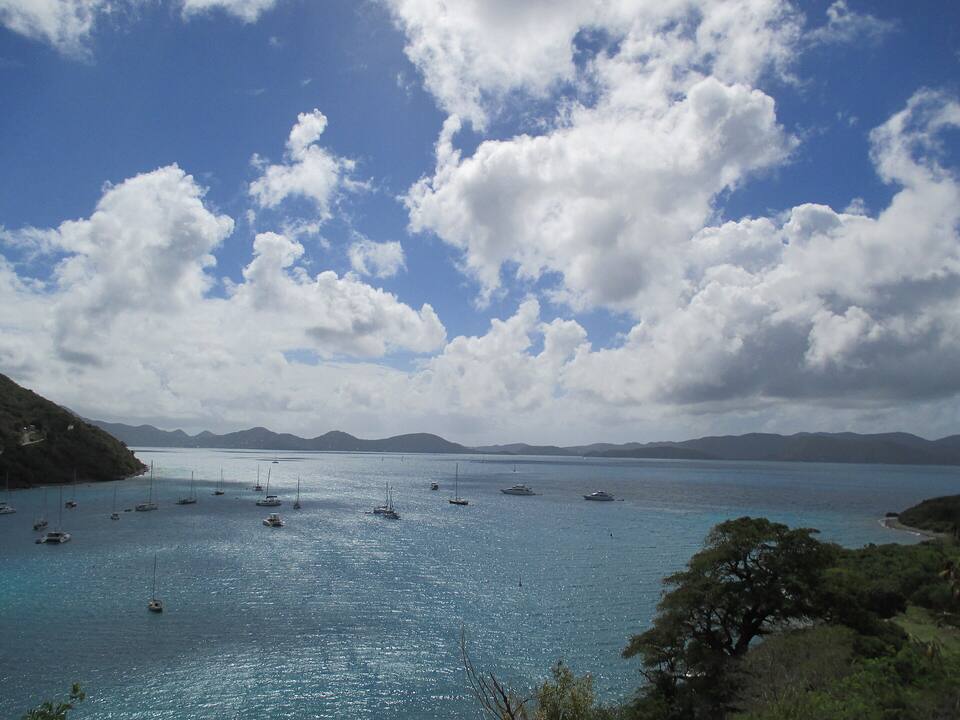
Great Harbour, Jost Van Dyke, from the hill: boats at anchor in the bay and the islands to the south on the horizon Photo: Mattes, CC BY 2.0 de
Fastest: West End, Tortola ↔ Great Harbour, 10–15 min. Children and bag fees vary by route — each timetable page has the full fare table and booking links.
Direct from St. John and St. Thomas
These crossings are international: bring a passport, clear BVI customs and immigration at the Great Harbour dock and pay the BVI entry fees, then clear U.S. customs when you land back in Cruz Bay or Red Hook.
Clear customs first: the office is at the Great Harbour ferry dock, and anyone arriving from the USVI — by ferry, charter or water taxi — checks in there before going anywhere else.
The ferries from St. John and St. Thomas do not run every day. Check the timetable for your date, or plan to go via West End on Tortola.
Arriving by boat at White Bay? There is no dock: you swim or wade ashore, so carry your passport, phone and cash in a dry bag.
Mooring balls in Great Harbour, Little Harbour and off Diamond Cay are reserved on the BoatyBall app; the reservable ones are released at 7 AM for that night and go fast in season.
Jost Van Dyke is small enough to walk between Great Harbour and White Bay — about 15 to 20 minutes over the ridge, steep in both directions — but most people take one of the open-air taxis that wait by the Great Harbour dock. Fares are fixed per person by the BVI's taxi authority; the table below has the fare from Great Harbour to White Bay, Little Harbour and the Bubbly Pool.
There are only a handful of taxis on the island, so on a busy day or after dark, ask your driver for a number and book the ride back. The roads are concrete, narrow and very steep; drive on the left if you do rent.
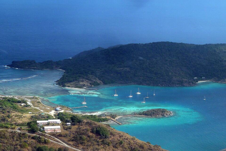
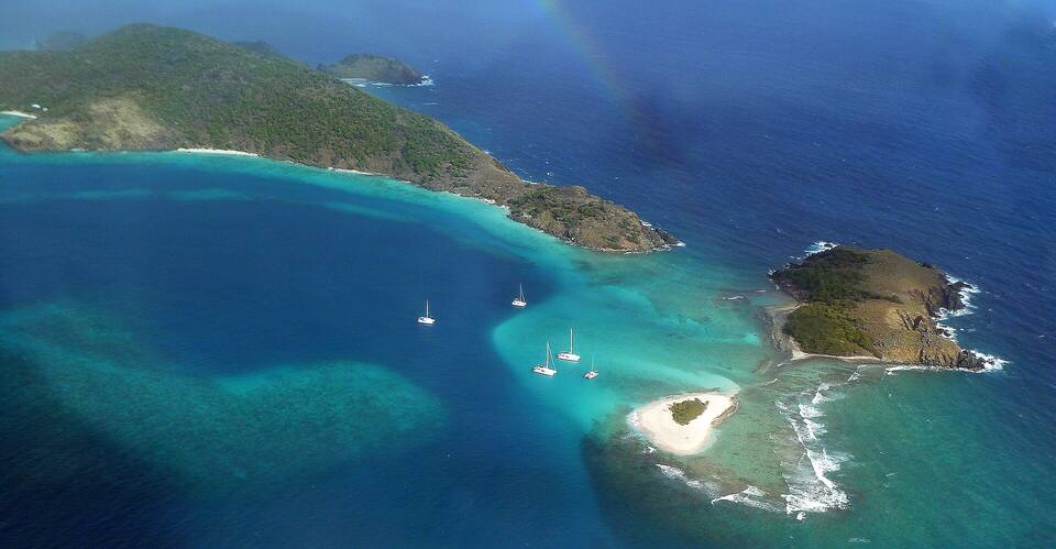
The east end of Jost Van Dyke from the air: Diamond Cay on its sandbar, boats in the sheltered water and Little Jost Van Dyke behind Photo: giggel, CC BY 3.0
Jost Van Dyke's beaches are reached by boat as often as by road: White Bay has no dock, and Sandy Spit has no road at all. Little Harbour's small beach is on its own page. Numbers match the map. For which one is calm and uncrowded today, open the beach report.
1
White Bay
Beach barsSwim-ashoreCalm in the trades
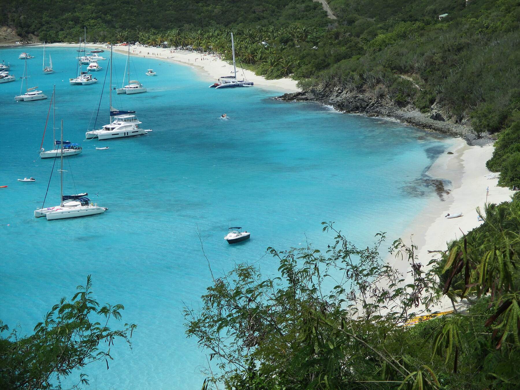
The island's famous beach: a long curve of white sand on the south-west coast, with the Soggy Dollar Bar and its neighbours along the back of it. There is no dock — boats anchor or pick up a mooring and you swim or wade in. Faces away from the easterly trade wind, so it is usually calm, but a north swell can wrap round and make the landing rough.
Taxi from Great Harbour: $20 for one rider, $5 each for three or more
The village beach: sand streets, the ferry and customs dock, Foxy's at the east end and a row of bars and restaurants along the waterfront. The water is sheltered and full of boats rather than swimmers — it is where you land, eat and spend the evening.
A tiny islet of white sand and a little greenery off Little Jost Van Dyke, ringed by reef and shallows. Boat only: day charters anchor off and you swim in. Walk round it in a few minutes; snorkel the reef on its edge on a calm day.
The sheltered bay on the island's south-east side: a small beach at the head of the harbour, boats on moorings, and a few waterfront restaurants that look after them. Quieter than Great Harbour and White Bay; a taxi ride over from the dock or a short dinghy hop for boats.
The bar at the west end of White Bay where the Painkiller was first mixed in the 1970s — named for the wet banknotes of guests who swam ashore from their boats. Come before noon in season, before the charter boats fill the moorings, and check the two White Bay webcams if you want to see the crowd first.
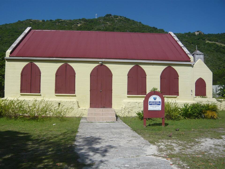
Foxy's Tamarind Bar on the Great Harbour sand is the island's best-known bar and the home of its New Year's Eve party, which fills the harbour with boats. Walk the sand streets past the Methodist church, the customs office and the waterfront bars; most close for part of the off-season — the list below says who.
A rock pool on the north-east coast where the Atlantic swell bursts through a gap in the rocks and fills it with foam. A walk of about 15 minutes along the shore from Foxy's Taboo at Diamond Cay, or a taxi from Great Harbour. It only bubbles when a north swell is running — and when the swell is big, the surge is dangerous: watch a few sets before you get in.
The sand islet off Little Jost Van Dyke, with Green Cay and its reef beside it. No road and no ferry: go on a day charter from St. John, St. Thomas or Tortola, which usually pairs it with White Bay. Calm mornings are best for the swim in.
The quiet bay on the south coast east of Great Harbour, with a few open-air restaurants on the water that grill lobster in season. Boats come in for dinner on a mooring; by land it is a short taxi ride from Great Harbour.
The east end faces Little Jost Van Dyke across sheltered water. Diamond Cay itself is a tiny protected cay, one of the BVI's national parks, with snorkeling in the shallows off the beach, Foxy's Taboo on the shore and the walk to the Bubbly Pool beyond.
Jost Van Dyke is the classic day sail from St. John and St. Thomas: White Bay, Sandy Spit and Great Harbour in one loop. Passports and BVI entry fees are needed for everyone on board, and the crew handles the customs stop at Great Harbour.
Eating on Jost Van Dyke means beach bars: the row along White Bay, the waterfront at Great Harbour, a few lobster grills in Little Harbour and Foxy's Taboo at the east end. Several close for part of August to October — the list below says who, from our seasonal-closures tracker.
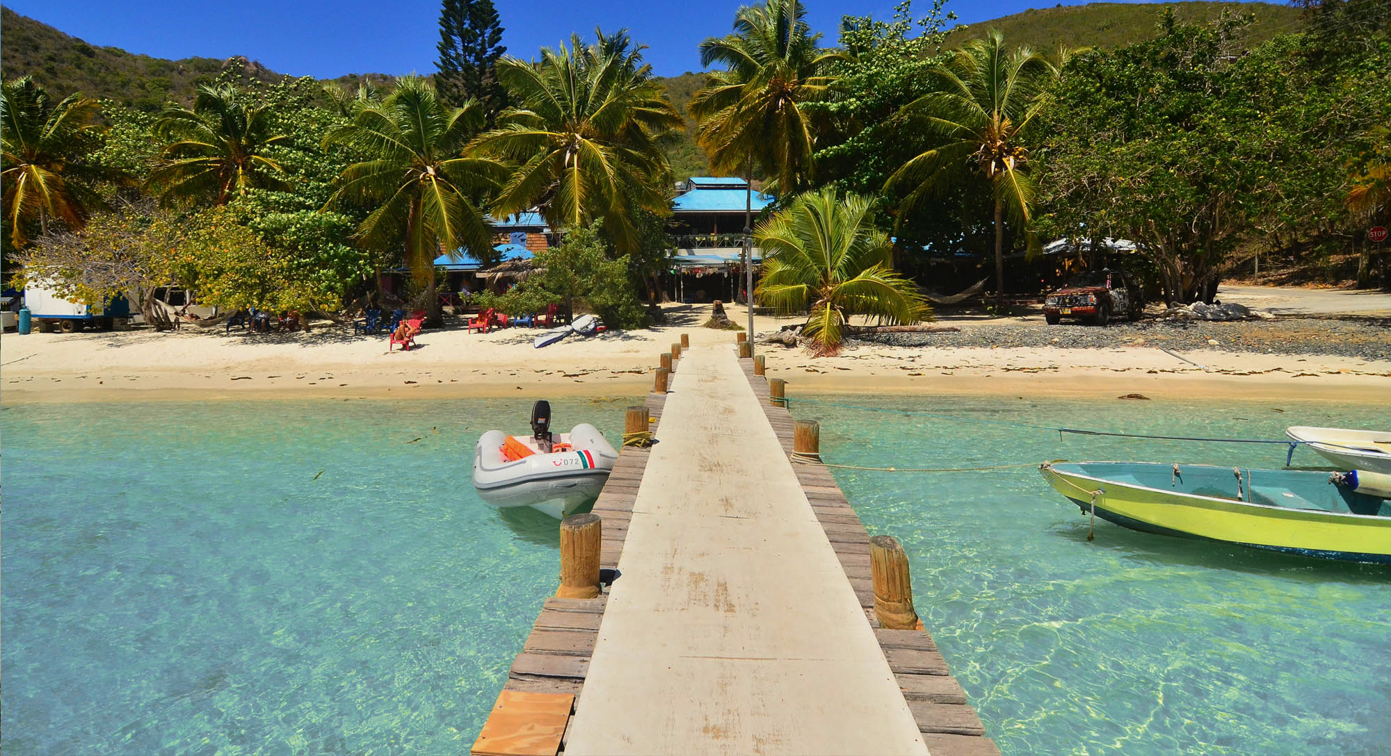
A dinghy dock and beach bar on Jost Van Dyke, palms over the sand and clear water
White Bay
Soggy Dollar BarClosed for the season · back Oct 7Birthplace of the Painkiller cocktail (1971). Guests swim ashore and pay with wet bills — hence the name. Iconic beachfront rum bar.
Ivan's Stress Free BarChilled-out White Bay institution on the east end of the beach. Hammocks, cold Painkillers, and some of the best BBQ chicken on JVD.
Great Harbour
Foxy's Tamarind BarClosed for the season · back Oct 15Legendary Great Harbour beach bar owned by Foxy Callwood. Impromptu calypso music, fresh fish BBQ, and the famous Foxy's New Year's Eve festival.
Ali Baba's Heavenly Bar & RestaurantGreat Harbour classic. Famous lobster and whole fish off the BBQ grill. Order the lobster early — it runs out by evening.
Corsairs Beach Bar & RestaurantWaterfront Great Harbour restaurant with full menu — burgers, fish tacos, ribs, and surprisingly good pizza. More formal than the beach bars.
Little Harbour
One Love Bar & RestaurantWhite Bay beach bar run by Seddy Callwood, a short walk from the Soggy Dollar. Incredibly fresh seafood, lobster when in season, cold beer and total Caribbean chillout vibes.
Warm all year: highs in the mid-80s °F, a steady easterly trade wind, and short tropical showers rather than all-day rain. December to April is the dry, busy sailing season. June to November is hurricane season, with the peak from mid-August to mid-October — when several bars close and the island is at its quietest. In winter, north swells can make the White Bay landing rough and set the Bubbly Pool going.
Daily-mean sea-surface temperature, averaged 2021–2024 (Open-Meteo marine reanalysis): warmest in Sep (86.3°F), coolest in Feb (79.6°F). Hurricane history map
Cruise ships
Cruise ships and Jost Van Dyke
Jost Van Dyke has no cruise pier. The few ships that call are small — sailing yachts and small luxury ships — and they anchor in Great Harbour and tender to the customs dock, or lie off White Bay for a beach day at the Soggy Dollar. A ship day here is a few hundred people at most; the island's real crowds come on charter boats and day sails.
No ship calls at Great Harbour and White Bay in the next 30 days.
Seventeen Spanish ships anchor at Salt River, St. Croix. A landing party fights the Kalinago there — the first recorded battle between Europeans and Native Americans. Columbus names the chain Las Once Mil Vírgenes and claims it all for Spain; Spain never settles any of it.
1648
The Dutch fortify Tortola
Dutch West India Company settlers build a fort above Road Harbour. Jost Van Dyke already carries the name of a Dutch privateer who used its harbour a generation earlier.
1672
England seizes Tortola from the Dutch
In the Third Anglo-Dutch War, Colonel William Stapleton's force from the Leeward Islands takes Tortola. Virgin Gorda and Anegada follow by 1680 — the British Virgin Islands begin here.
Nov 15, 1960
The British Virgin Islands stand alone
Separated from the Leeward Islands, the BVI becomes its own colony, and on November 15, 1960 raises the flag it flies today — the Blue Ensign with the badge of St. Ursula and her lamps. A 1967 constitution brings elected government; today it is a British Overseas Territory.
Today
Two flags, one archipelago
St. Thomas, St. John, St. Croix and Water Island are the U.S. Virgin Islands. Tortola, Virgin Gorda, Jost Van Dyke and Anegada are the British Virgin Islands. Cruise ships and ferries cross the line every day.
Jost Van Dyke is in the British Virgin Islands. Arriving from St. John or St. Thomas, everyone — U.S. citizens included — shows a passport and pays BVI entry fees at Great Harbour.
Customs before the beach
If you arrive on your own boat or a charter, clear in at the Great Harbour dock before you go ashore anywhere else, White Bay included.
Dry bag for White Bay
There is no dock at White Bay: you swim or wade ashore. Passport, phone and cash go in a dry bag.
Carry cash
Taxis and some bars prefer cash, and Jost Van Dyke has no bank. Bring U.S. dollars from St. Thomas, St. John or Tortola.
Book the taxi back
There are only a handful of taxis. Take your driver's number and arrange the ride back, especially after dark or on a busy charter day.
Go early in season
White Bay fills from the water from late morning as the charter boats arrive. An early ferry or an early sail gets you the beach before the crowd.
By boat — the island has no airport. From Tortola, take the short ferry from West End to Great Harbour. From St. John and St. Thomas, direct ferries run from Cruz Bay and Red Hook on set days of the week; otherwise go via West End, or come on a day charter or water taxi. Fly into Beef Island (EIS) on Tortola or St. Thomas (STT).
Do you need a passport to go to Jost Van Dyke from St. John or St. Thomas?
Yes. Jost Van Dyke is in the British Virgin Islands, a British Overseas Territory, so everyone arriving from the U.S. Virgin Islands — U.S. citizens included — needs a passport, clears BVI customs at Great Harbour and pays the BVI entry fees. You clear U.S. customs again on the way back.
How do you get from the Great Harbour ferry to the Soggy Dollar Bar?
The Soggy Dollar is on White Bay, over the hill west of Great Harbour. Take an open-air taxi from the dock — the official fare is $20 for one rider, $5 each for three or more — or walk about 15 to 20 minutes over the steep ridge.
Where was the Painkiller invented?
At the Soggy Dollar Bar on White Bay, Jost Van Dyke, in the 1970s. It is widely credited to Daphne Henderson, who ran the bar: dark rum, cream of coconut, pineapple and orange juice, with nutmeg grated on top. The bar's name comes from the wet banknotes of guests who swim ashore from their boats.
What is the Bubbly Pool on Jost Van Dyke?
A natural rock pool on the north-east coast, near Diamond Cay, where the swell breaks through a gap in the rocks and fills it with foam. It is about a 15-minute walk along the shore from Foxy's Taboo, or a taxi ride from Great Harbour ($26 for one rider, $11 each for three or more). It only bubbles with a north swell, and big swells make it dangerous.
Is there an airport on Jost Van Dyke?
No. The nearest airports are Terrance B. Lettsome on Beef Island, Tortola (EIS), and Cyril E. King on St. Thomas (STT). From EIS, take a taxi to the West End ferry; from STT, a taxi to Red Hook for the direct ferry on the days it runs, or the ferry to West End.
What is Foxy's on Jost Van Dyke?
Foxy's Tamarind Bar is the beach bar on the Great Harbour waterfront, founded by Foxy Callwood, a calypso singer born on the island. It is best known for its New Year's Eve party, when the harbour fills with boats from all over the Virgin Islands. Foxy's Taboo, a second, quieter place, is at Diamond Cay on the east end.
When is the best time to visit Jost Van Dyke?
December to April is the dry season and the busiest time on the water, with the most bars open and the most boats. May, June and November are quieter and still warm. August to October is the peak of hurricane season, when several bars close for a few weeks — check the seasonal-closures list before you go.
Photo & map credits
White Bay, Jost Van Dyke, from the hillside: yachts on their moorings over turquoise water and a long strip of white sand — Mattes, CC BY 2.0 de, via Wikimedia Commons (resized).
Great Harbour, Jost Van Dyke, from the hill: boats at anchor in the bay and the islands to the south on the horizon — Mattes, CC BY 2.0 de, via Wikimedia Commons (resized).
Sandy Spit and Green Cay off Little Jost Van Dyke from the air: a tiny islet of white sand and scrub ringed by reef, Little Jost Van Dyke behind — giggel, CC BY 3.0, via Wikimedia Commons (resized).
The east end of Jost Van Dyke from the air: Diamond Cay on its sandbar, boats in the sheltered water and Little Jost Van Dyke behind — giggel, CC BY 3.0, via Wikimedia Commons (resized).
The Methodist church in Great Harbour, Jost Van Dyke — Gruepig, CC BY-SA 4.0, via Wikimedia Commons (resized).