The Virgin Islands, island by island
A guide to each island: how to get there, getting around, the beaches, what to do, where to eat, today's weather and the next boat. St. Thomas, St. John, St. Croix and Water Island are the U.S. Virgin Islands; Tortola, Virgin Gorda, Jost Van Dyke and Norman Island are in the British Virgin Islands, a short boat ride — and a passport — away.
U.S. Virgin Islands
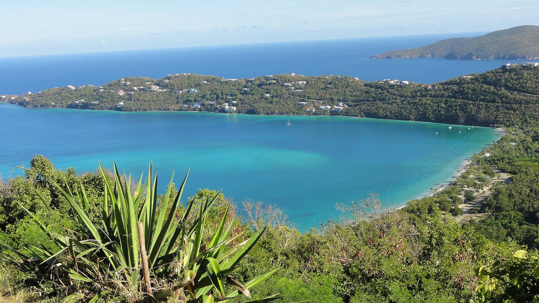
Where most Virgin Islands trips begin: the territory's main airport, one of the Caribbean's busiest cruise ports, and the capital, Charlotte Amalie, on a deep harbour under steep green hills. About 32 square miles — Magens Bay on the north shore, the old Danish town on the south, and Red Hook in the east, where the ferries leave for St. John and the BVI.
Open the St. Thomas guide →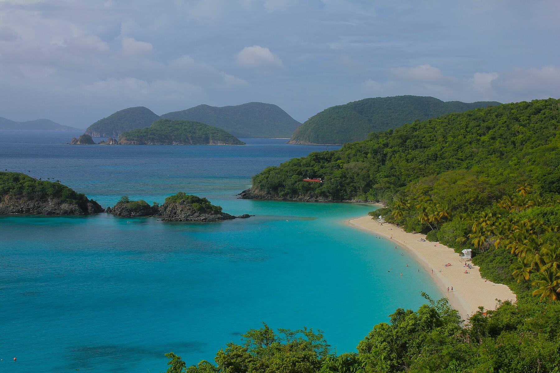
The smallest and greenest of the three U.S. Virgin Islands: about 20 square miles, around 60 percent of it Virgin Islands National Park, no airport and no cruise pier. Everyone arrives by boat into Cruz Bay — then it is white-sand bays, reef trails and switchback roads.
Open the St. John guide →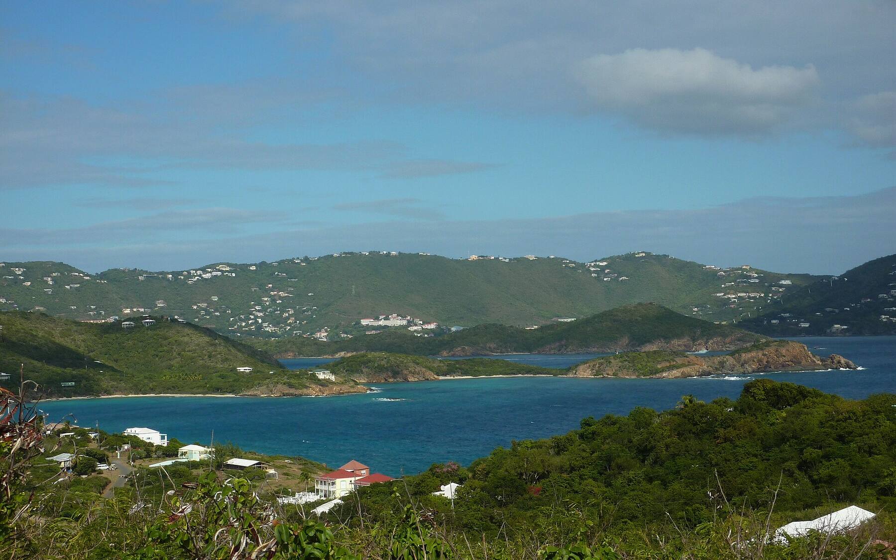
The fourth and smallest of the U.S. Virgin Islands: about 490 acres of dry hills just south of St. Thomas, home to fewer than 200 people, with no hotels, no car ferry and no cruise pier. The little ferry from Crown Bay Marina lands at Phillips Landing, a short walk from Honeymoon Beach.
Open the Water Island guide →
The largest of the U.S. Virgin Islands: about 84 square miles, some 40 miles south of St. Thomas across open sea. Two old Danish towns — Christiansted on the north shore, Frederiksted on the west end — its own airport and cruise pier, Buck Island's reef off the north-east and the Cane Bay Wall a swim from the beach.
Open the St. Croix guide →British Virgin Islands
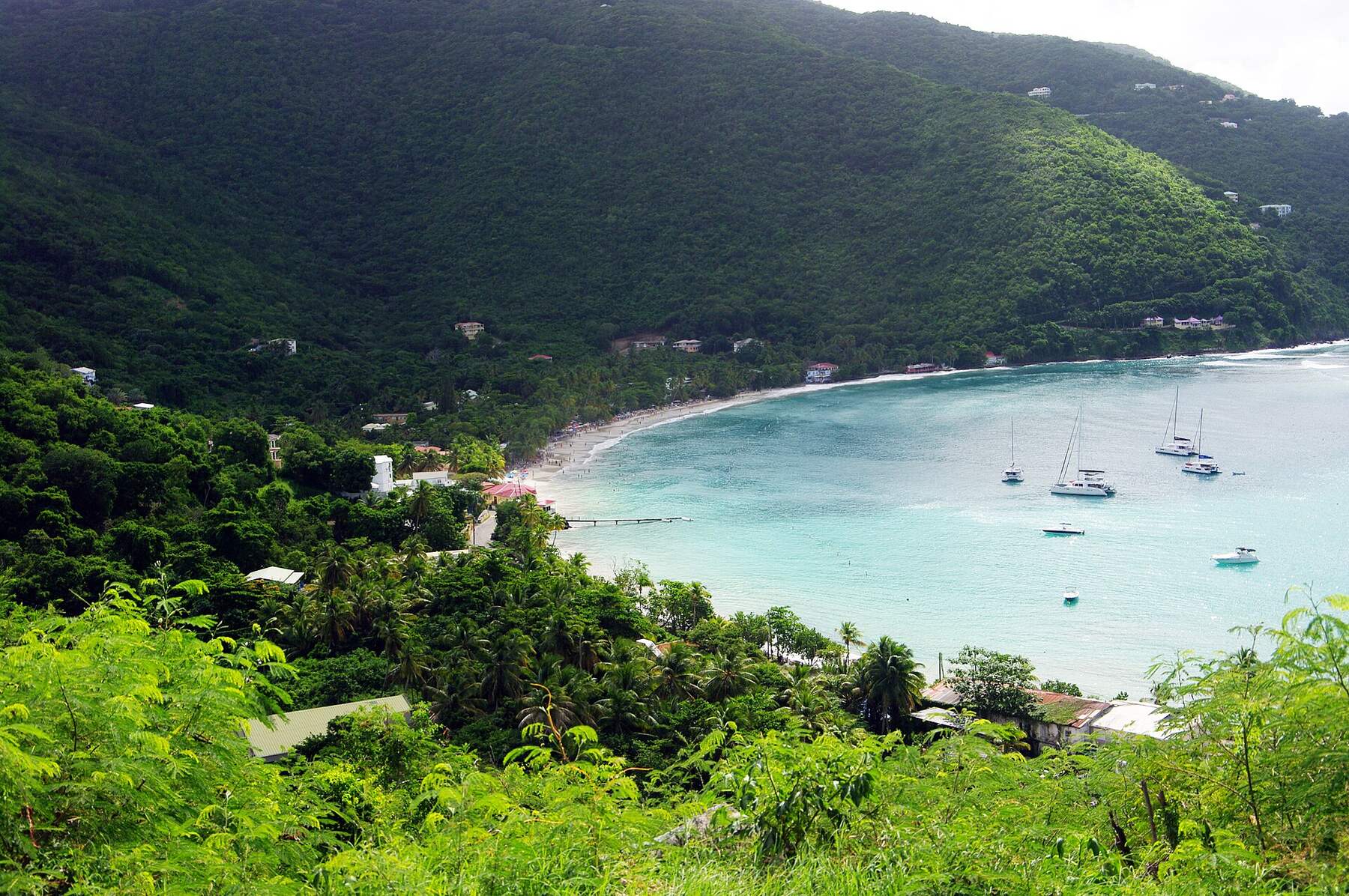
The largest of the British Virgin Islands and home to most of its people: about 21 square miles of steep green ridges, with Road Town — the capital, the ferry terminal and the cruise pier — on the south shore and the beaches on the north. It is where the BVI's charter fleets set sail, and where most visitors arrive, by ferry from St. Thomas or by air to Beef Island.
Open the Tortola guide →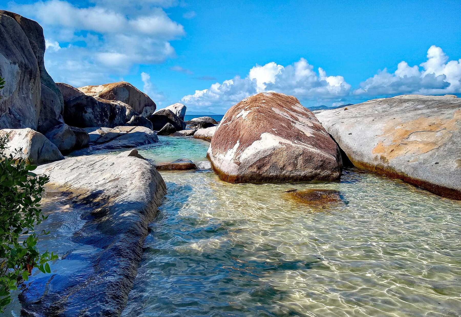
The third-largest of the British Virgin Islands: about 8 square miles, long and thin, with the granite boulders of The Baths at its south-west tip and the sheltered water of North Sound at its north-east end. Most visitors arrive by ferry from Tortola into Spanish Town, the island's small capital — then it is beaches, boulders and boats.
Open the Virgin Gorda guide →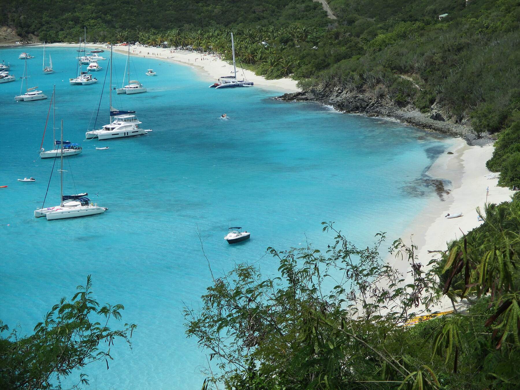
The smallest of the four main British Virgin Islands: about 3 square miles, roughly 300 residents, sand streets in Great Harbour and no airport. Everyone comes by sea — the ferry from Tortola, St. John or St. Thomas, or a yacht on a mooring — for White Bay and the Soggy Dollar, Foxy's, and lobster in Little Harbour.
Open the Jost Van Dyke guide →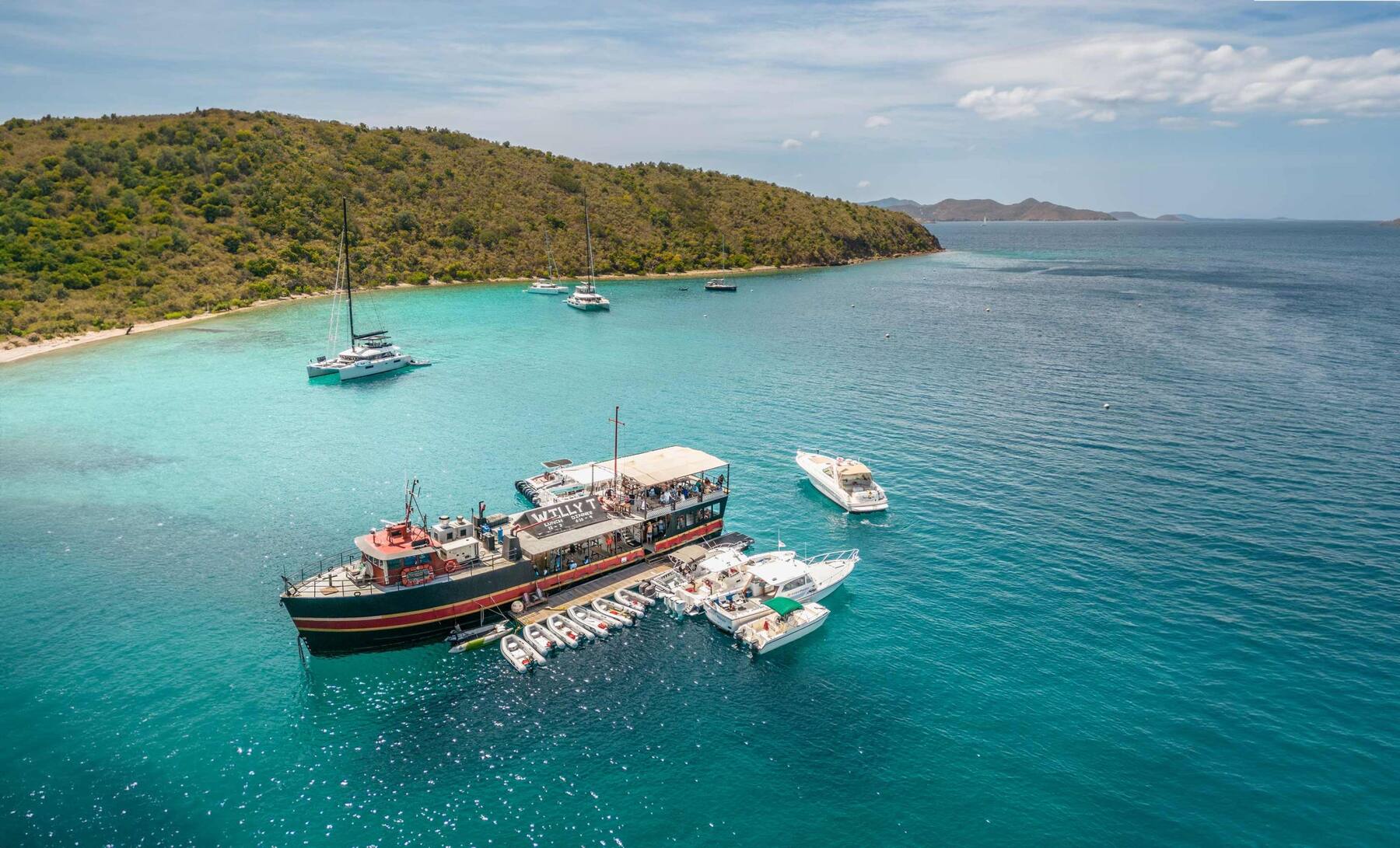
An uninhabited, privately owned island at the southern end of the British Virgin Islands: about 600 acres of dry, goat-grazed hills round the Bight, one of the most sheltered harbours in the territory. No town, no ferry, no roads — you come by boat, from St. Thomas, St. John or Tortola, for the sea caves at Treasure Point, the Indians and the floating bar.
Open the Norman Island guide →