A private island of about 230 acres a mile and a half off Tortola's east end, just north of Beef Island and its airport. It is one resort — Scrub Island Resort, Spa & Marina, with its marina, spa, villas and small beaches — reached by the resort's own launch from Trellis Bay or by yacht. No town, no public roads, no taxis.
Scrub Island drawn from the OpenStreetMap shoreline: the resort and its marina on Little Scrub, the west end; the wilder hills of Big Scrub to the east; Marina Cay to the south-west and Trellis Bay, where the launch leaves, on Beef Island to the south. Tap a pin for more.
Getting there
How to get to Scrub Island
Scrub Island has no airport, no public ferry and no road link: you arrive on the resort's own launch, about 10 minutes from the dock at Trellis Bay on Beef Island, or on your own boat into the marina. The launch runs through the day, from early morning to late evening; it is complimentary for registered resort guests and overnight marina guests, and the resort meets guests flying into Beef Island's airport (EIS), a couple of minutes' drive from the dock. Ask the resort for the current launch times — we do not publish them.
From St. Thomas there is no direct boat. Either fly to Beef Island (EIS), usually with a connection, or take the ferry to Tortola — downtown Charlotte Amalie to Road Town, or Red Hook to West End — and a taxi across Tortola and over the bridge to Beef Island. It is an international trip: everyone needs a passport and clears BVI customs at the ferry terminal or the airport.
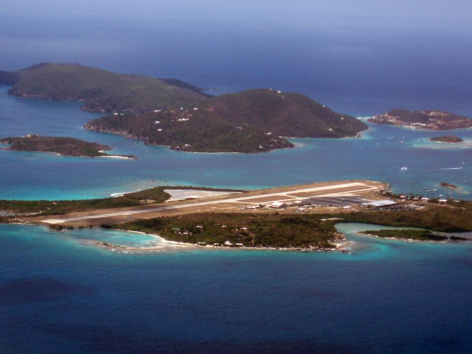
Beef Island and the airport runway from the south, with Trellis Bay on the right, Great Camanoe behind and Scrub Island on the far right Photo: Robert Rexach, CC BY-SA 3.0
Send the resort your flight numbers: guests are met at Beef Island's airport and driven to the launch.
Coming by ferry from St. Thomas? Allow for the crossing, customs, the taxi across Tortola and the wait for the launch — and check which day the Road Town and West End boats run.
Sailing in? The marina works VHF 74; book a slip with the resort, and an overnight slip includes the launch to Trellis Bay. The Marina Cay mooring field is next door.
Not staying? The launch is free only for resort and marina guests, so check with the resort before you plan a visit.
There are no public roads, cars or taxis. The resort's paths and tracks link the marina, the Grand Pavilion, the pool and Donovan's Beach on Little Scrub, and run on to North Beach and the villas; Big Scrub, to the east, is hilly scrubland with a hiking trail. Ask at the front desk about getting to the far beach or a villa up the hill.
Off the island, it is the launch to Trellis Bay — which also stops at Marina Cay while the cay's bar is open — or a dinghy or kayak in the sheltered water between Scrub, Marina Cay and Great Camanoe.
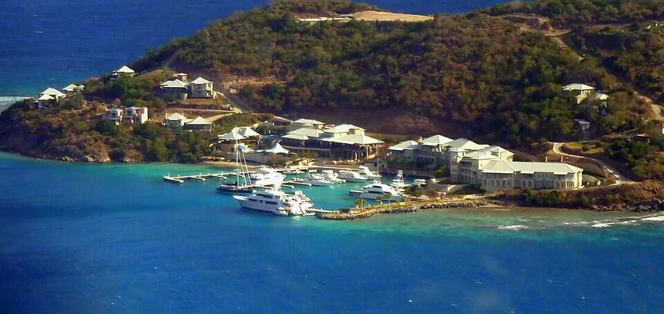
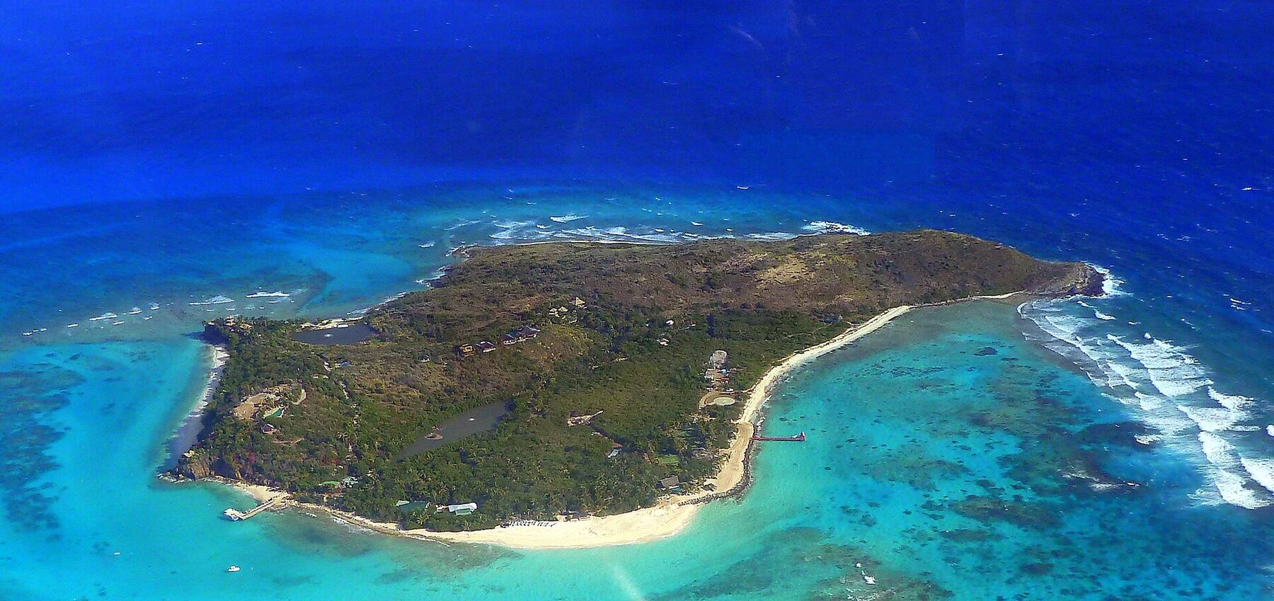
Scrub Island's marina and the resort buildings round it on Little Scrub, seen from a plane leaving Beef Island Photo: giggel, CC BY 3.0
Beaches
Beaches on Scrub Island
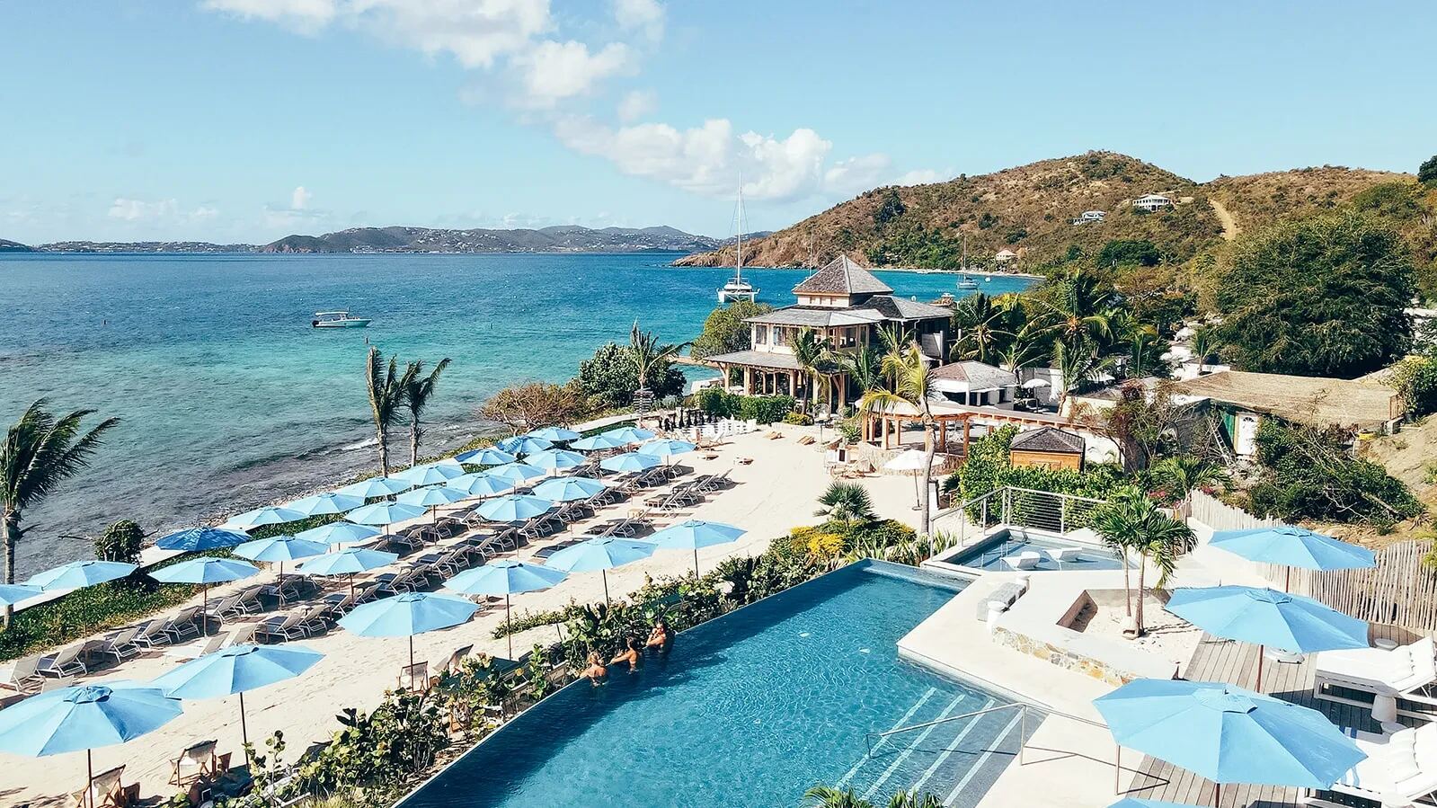
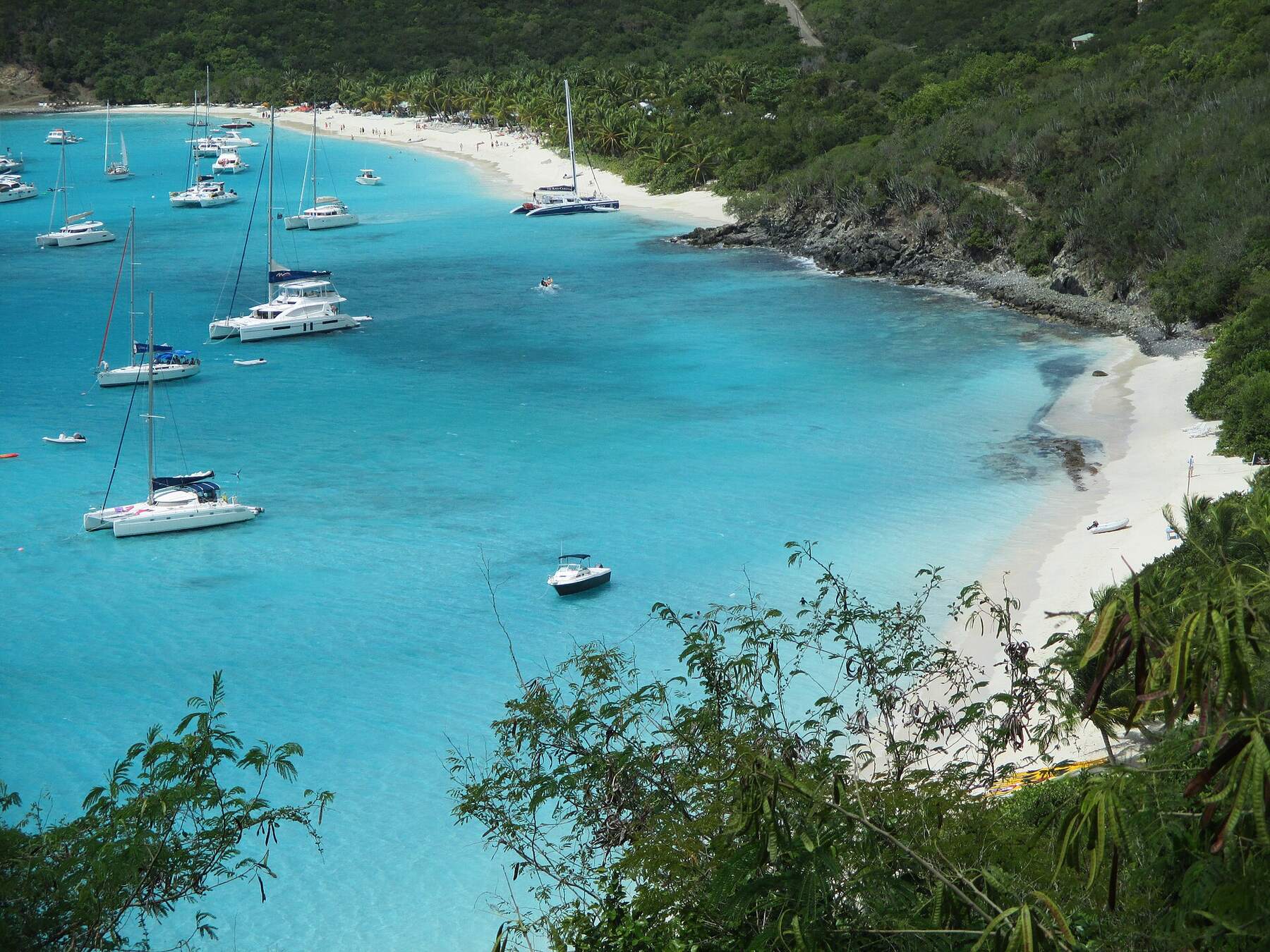
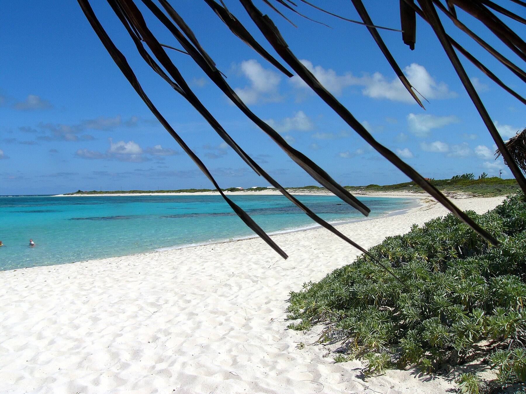
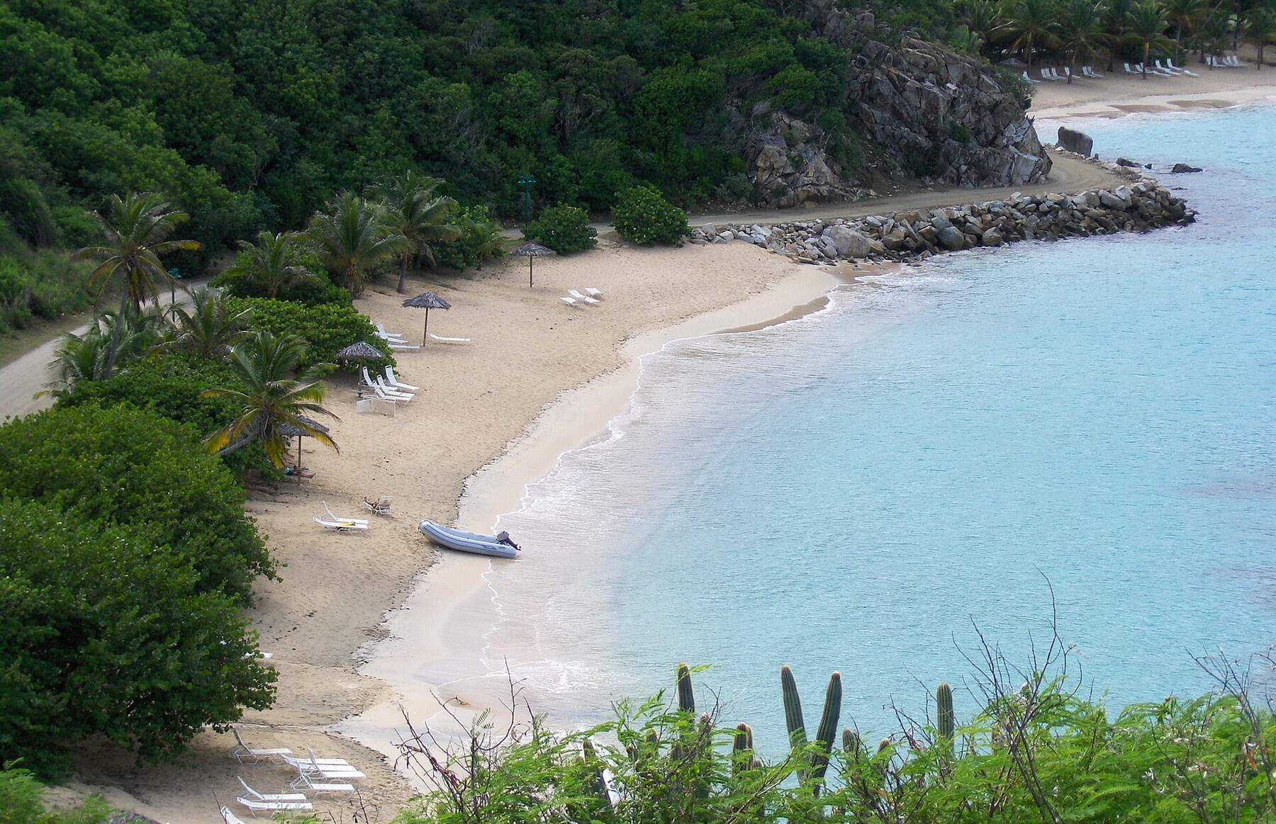
Scrub Island's beaches are the resort's own, small and quiet. Donovan's Beach, small and sheltered, sits beside the pool and the marina, with a roped swimming area and kayaks and paddleboards for guests. North Beach, the longest, faces north-east across the bay between Little and Big Scrub, with reef close in and the One Shoe Beach Bar behind it. The resort's third beach is reached only by water. On the map, North Beach is pinned through its bar; Donovan's Beach is beside the marina pin.
Things to do
Things to do on Scrub Island
Snorkel
Snorkel off North Beach
Scrub Island's longest beach has reef within a short swim of the sand. Go on a calm morning: the bay faces north-east, and a north swell in winter clouds the water. The One Shoe Beach Bar behind the beach serves through the day in season.
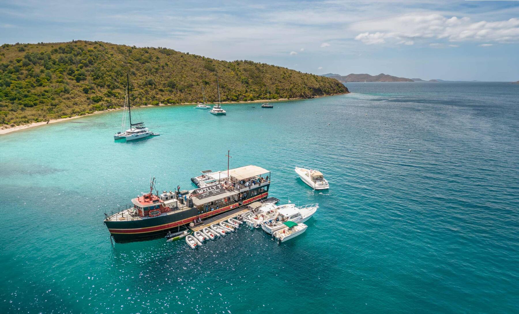
An eight-acre cay about a third of a mile south-west of the marina: the bar and grill the resort has run since the cay reopened in 2023, a small beach and a reef round the edge. The resort launch stops there while it is open, or take a dinghy. It closes for part of the autumn off-season.
Kayaks and paddleboards wait on Donovan's Beach for resort guests. The calm water to cross is the stretch between Little Scrub and Great Camanoe, a quiet, mostly private island of hillside homes; stay inside the bay when the trade wind is up.
Dive BVI has a shop in the resort's Marina Village and runs daily trips to the sites round the north-eastern islands, with longer runs to Anegada's reefs. Gear rental and courses are booked at the shop.
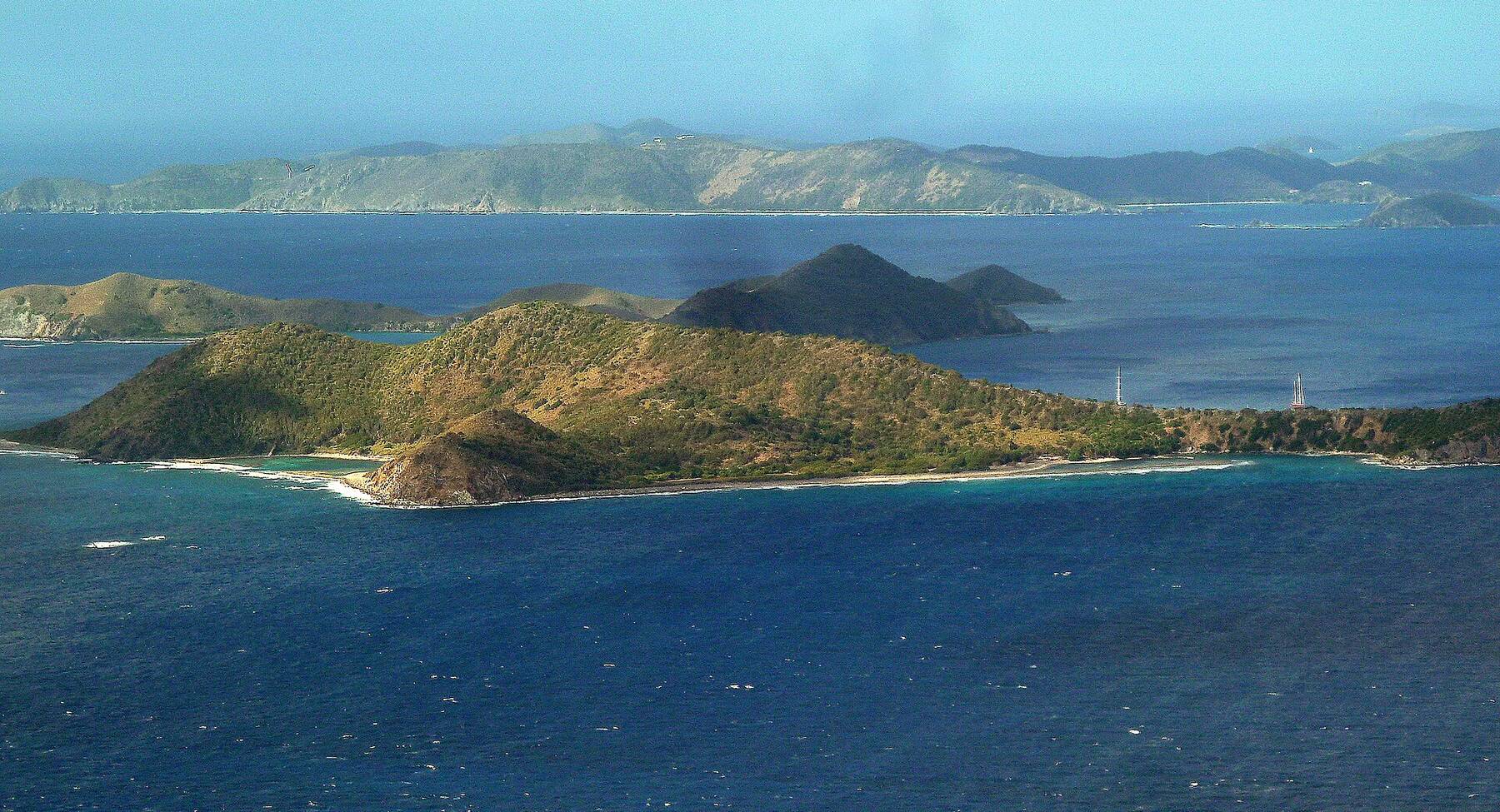
The eastern, wilder part of the island climbs to about 438 ft. The resort's Big Scrub hike crosses dry scrub and cactus to views over the Atlantic, Virgin Gorda and the Camanoes. No shade: go early and carry water.
The launch dock is on Trellis Bay, a calm bay on Beef Island by the airport, with beach bars, a market and an art studio along the sand and its monthly full-moon party. Ferries for Virgin Gorda leave from the same bay.
The marina on Little Scrub takes yachts from charter catamarans to superyachts, with fuel, water and ice at the dock, and an overnight slip includes the resort's pools, beaches and restaurants. Sheltered, and a short hop from Trellis Bay, Guana Island and the Dogs on the way to Virgin Gorda.
Everything to eat and drink on Scrub Island is the resort's: Donovan's Reef over Donovan's Beach and the pool, Cardamom & Co. in the Grand Pavilion, the One Shoe Beach Bar on North Beach, and the Outpost deli and market in Marina Village. The resort also runs the bar and grill on Marina Cay next door. Some venues close for part of the autumn off-season and hours change by season — check with the resort before you come by boat.
Scrub Island
Donovan's Reef (Scrub Island)The resort's open-air bar and grill over Donovan's Beach and the marina, with a swim-up bar at the pool. Caribbean favourites at lunch and dinner.
Cardamom & Co. (Scrub Island)The resort's fine-dining room in the Grand Pavilion, looking over the marina; a menu built round the spice trade and the resort's own garden.
One Shoe Beach Bar (Scrub Island)A rustic daytime beach bar on North Beach, with cabanas and food sent over from Donovan's Reef.
Marina Cay
Marina Cay Bar & GrillBar and grill on tiny Marina Cay, about 600 m south-west of Scrub Island's marina, run by Scrub Island Resort since the cay reopened in 2023 (Pusser's left after Hurricane Irma). The resort launch stops here while it is open.
Shopping: Scrub Island Outpost — The deli and market in Marina Village: coffee and pastries, sandwiches, pizza, wine and provisions for villas and boats.
Weather & sea
Scrub Island weather and the best time to go
Warm all year: highs in the mid-80s °F and a steady easterly trade wind. The marina and Donovan's Beach are sheltered; North Beach faces north-east and can turn rough in a winter north swell. December to April is the dry, busy season. June to November is hurricane season, with the peak from mid-August to mid-October, when some of the resort's venues and Marina Cay close for a few weeks.
Scrub Island has no reading of its own; these are the waters off Tortola, a mile and a half away. Daily-mean sea-surface temperature, averaged 2021–2024 (Open-Meteo marine reanalysis): warmest in Sep (86.3°F), coolest in Feb (79.3°F). Hurricane history map
Live cameras
Scrub Island webcams
One live camera on Scrub Island — check the water and the weather before you go.
Scrub Island — The Scrub Island marina and the neighbouring cays
Scrub Island is in the BVI. Every visitor, U.S. citizens included, needs a passport, and you clear customs at Beef Island's airport, the Tortola ferry terminals or, on your own boat, a port of entry.
Fly into Beef Island if you can
The airport is a couple of minutes from the launch dock. Coming by ferry from St. Thomas means a taxi across Tortola as well.
The launch is for guests
It is complimentary for registered resort guests and overnight marina guests. Anyone else should arrange a visit with the resort first.
Provision ahead
The Outpost in Marina Village sells coffee, deli food, wine and basics; for a villa or a boat the resort takes provisioning orders before you arrive. Trellis Bay's market is by the launch dock.
Check what is open in autumn
Some of the resort's restaurants and the Marina Cay bar close for part of the off-season. Ask the resort which are open before you book.
Mind the reef
Do not stand on coral or touch it when you snorkel off North Beach or Marina Cay, and keep fins up in the shallows.
By the resort's launch from the dock at Trellis Bay on Beef Island — about a 10-minute ride — or by your own boat into the Scrub Island marina. There is no airport, road or public ferry. Beef Island's airport (EIS) is a couple of minutes from the launch dock, and the resort meets guests there.
Is there a ferry to Scrub Island?
Only the resort's own launch from Trellis Bay, which runs through the day and is complimentary for registered resort guests and overnight marina guests. None of the Virgin Islands' public ferry routes calls at Scrub Island. Check the launch times with the resort.
Can you visit Scrub Island without staying at the resort?
The island is private and is the resort. Boaters who take a slip in the marina use the resort's restaurants, pools and beaches; anyone else should arrange a visit with the resort before going, since the launch is free only for resort and marina guests.
How do you get to Scrub Island from St. Thomas?
There is no direct boat. Fly to Beef Island (EIS), or take the ferry from Charlotte Amalie to Road Town or from Red Hook to West End on Tortola, clear BVI customs, and take a taxi across Tortola to Beef Island for the launch at Trellis Bay. Bring a passport — it is an international trip.
What is the closest airport to Scrub Island?
Terrance B. Lettsome International Airport (EIS) on Beef Island, joined to Tortola by a bridge. The launch dock at Trellis Bay is a couple of minutes' drive away. Most visitors connect through San Juan or another Caribbean airport; American Airlines also flies nonstop from Miami.
Does Scrub Island have beaches?
Yes — small ones, all the resort's. Donovan's Beach is beside the pool and the marina, with a roped swimming area; North Beach, the longest, faces north-east with reef close in and the One Shoe Beach Bar; a third beach is reached only by water.
What is Marina Cay?
An eight-acre cay about a third of a mile south-west of Scrub Island, best known from Robb White's book Our Virgin Island. Its Pusser's bar closed after Hurricane Irma in 2017; since 2023 Scrub Island Resort has run the Marina Cay Bar & Grill there, and the resort launch stops at the cay while it is open. It closes for part of the autumn off-season.
Is Scrub Island part of Tortola?
No. It is a separate island of about 230 acres, a mile and a half off Tortola's east end and north of Beef Island, reached through Tortola's airport on Beef Island and its ferry docks.
Photo & map credits
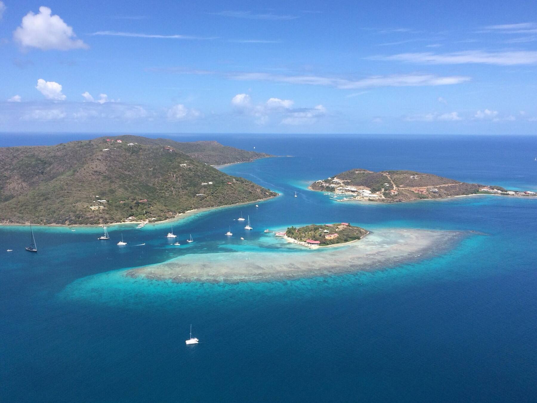
From the air: Marina Cay on its reef in front, Scrub Island with the resort and marina on the right, Great Camanoe on the left and yachts on the moorings between — Bogdan Rîpă, CC BY 3.0, via Wikimedia Commons (resized).
Scrub Island's marina and the resort buildings round it on Little Scrub, seen from a plane leaving Beef Island — giggel, CC BY 3.0, via Wikimedia Commons (resized).
Beef Island and the airport runway from the south, with Trellis Bay on the right, Great Camanoe behind and Scrub Island on the far right — Robert Rexach, CC BY-SA 3.0, via Wikimedia Commons (resized).
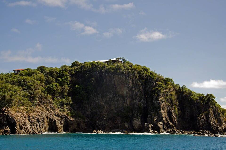
Wooded cliffs at the passage between Little and Great Camanoe — SV Zanshin, CC BY-SA 3.0, via Wikimedia Commons (resized).
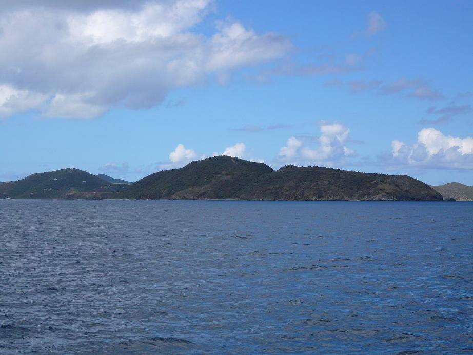
Scrub Island's dry hills seen from the sea — Legis, Public domain, via Wikimedia Commons (resized).