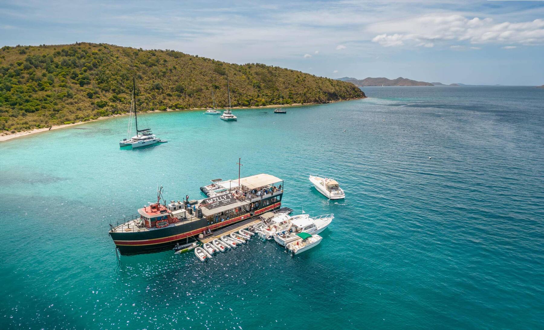
A small, dry, hilly island on the south side of the Sir Francis Drake Channel, across from Tortola, with one place to land: Manchioneel Bay, where Cooper Island Beach Club has a beach, a restaurant, a rum bar, a microbrewery and a handful of rooms, and the moorings fill with charter yachts every afternoon in season. No roads, no ferry, no town — you come by boat, for the bay, the reefs off Cistern Point, Wreck Alley and the RMS Rhone off Salt Island next door.
Cooper Island drawn from the OpenStreetMap shoreline, with Salt Island to the west: Manchioneel Bay and the beach club on the north-west shore, Cistern Point at the bay's south end, Wreck Alley off the south-west shore and the RMS Rhone off Salt Island. There are no roads to draw. Tap a pin for more.
Cooper Island has no airport and no public ferry: everyone arrives by boat. Sailors on a bareboat or crewed charter take a mooring in Manchioneel Bay — Road Town is only a few miles across the channel — and day sails and powerboat trips from Tortola, and some from St. Thomas and St. John, stop for lunch, a snorkel or a dive. Hotel guests ride the beach club's own boat from Road Town; ask the club where it leaves from and when.
From the U.S. Virgin Islands it is an international trip. Cooper Island is not a port of entry, so your boat first clears BVI customs and immigration — at Road Town or West End on Tortola, Great Harbour on Jost Van Dyke or Spanish Town on Virgin Gorda — and every passenger needs a passport and pays the BVI entry fees; on a day charter the captain handles the paperwork.
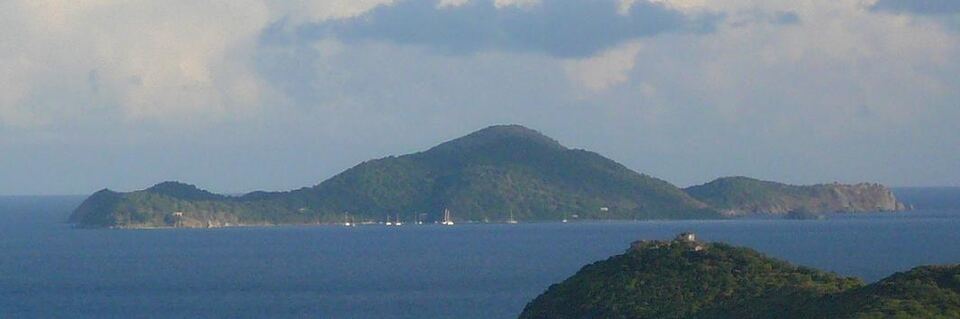
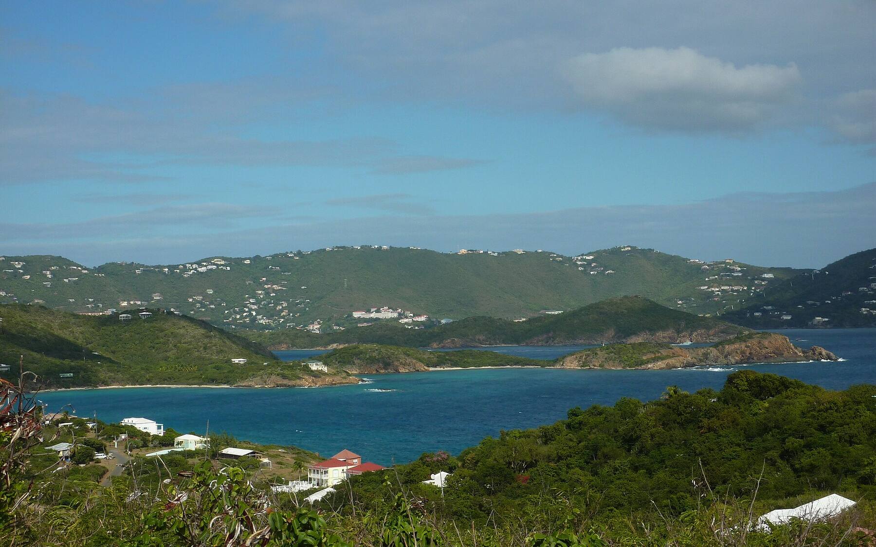
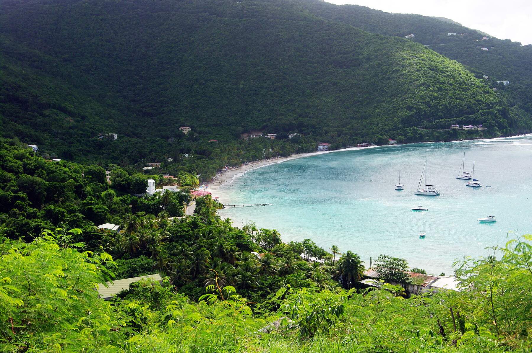
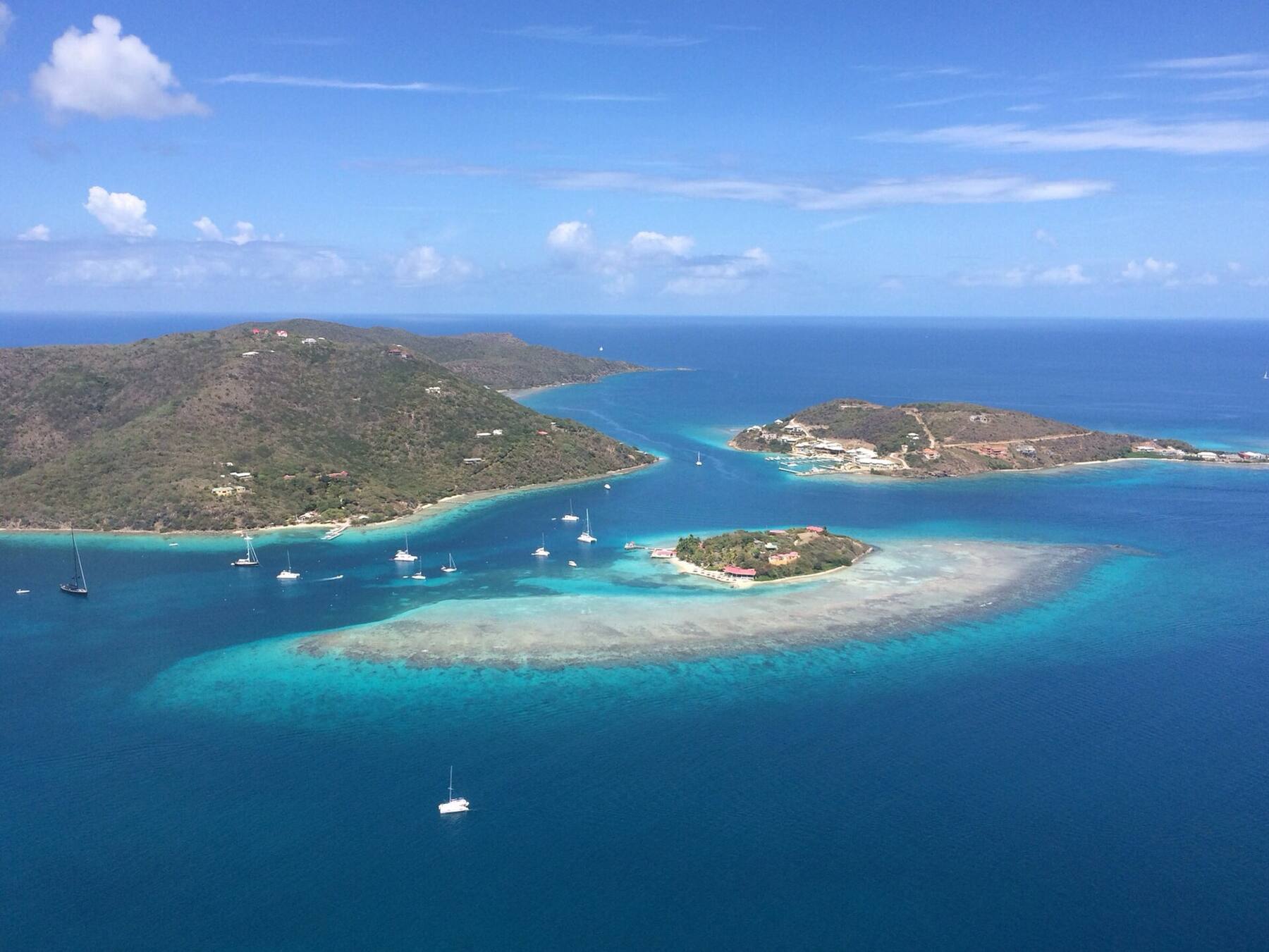
Cooper Island across the Sir Francis Drake Channel from the hills of Tortola, with yachts on the moorings in Manchioneel Bay Photo: Legis, Public domain
Staying at the beach club? The transfer from Road Town runs on the club's schedule, not yours — check the time and the pickup point when you book, and plan your flight or ferry round it.
Sailing in for the night? Reservable balls are booked in the BoatyBall app; the first-come balls usually go by about noon in season. There is no anchoring in the field.
Coming from St. Thomas or St. John? Bring your passport, even for a day trip, and ask whether the charter price includes the BVI fees, fuel, lunch and drinks.
Before you go between August and October, check the beach club is open: it closes for the quietest weeks of hurricane season, and nothing ashore is open while it is shut.
There are no roads, cars or taxis. Everything a visitor uses — the beach, the restaurant, the bars, the dive shop and the dinghy dock — sits along one stretch of shore on Manchioneel Bay, a few minutes' walk end to end. Cistern Point is a short dinghy ride or swim to the south of the beach.
Wreck Alley, off the south-west shore, and the RMS Rhone, off Salt Island to the west, are boat trips: go with a dive operator or in your own boat, and use the National Parks Trust day moorings at the Rhone. The rest of the island is dry scrub and private land, crossed only by footpaths and tracks.
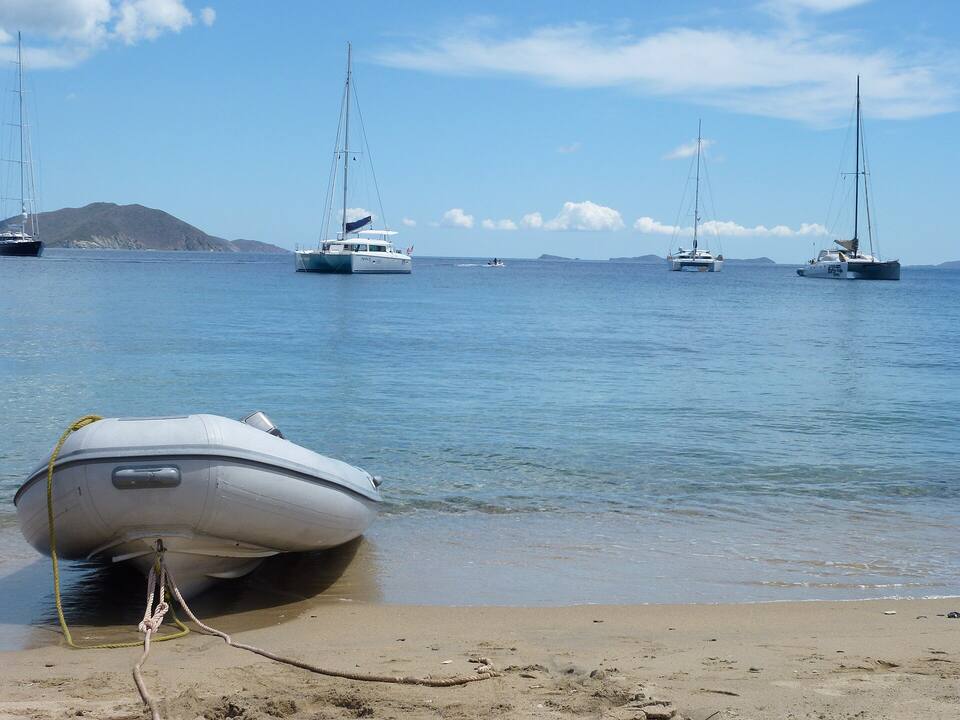
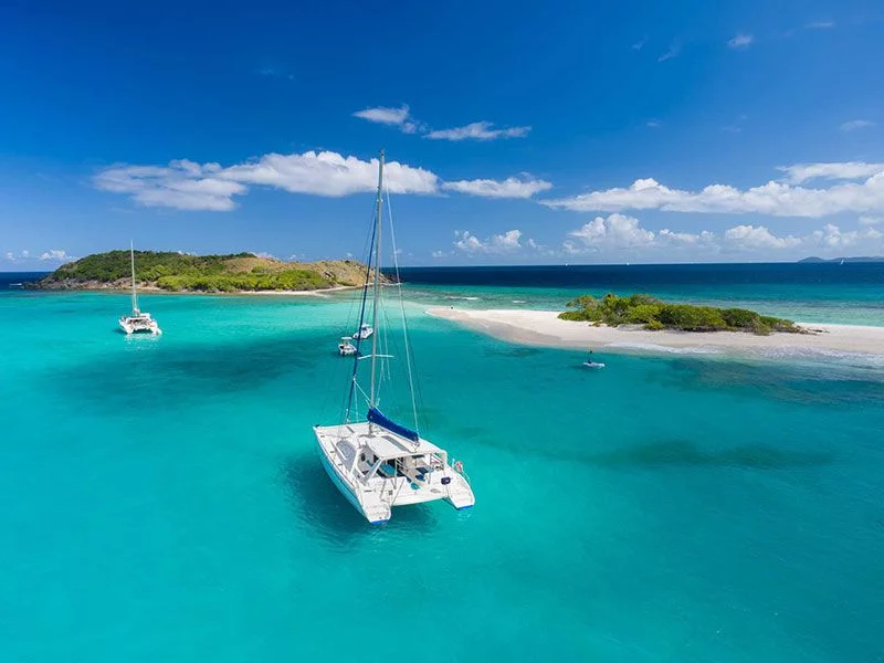
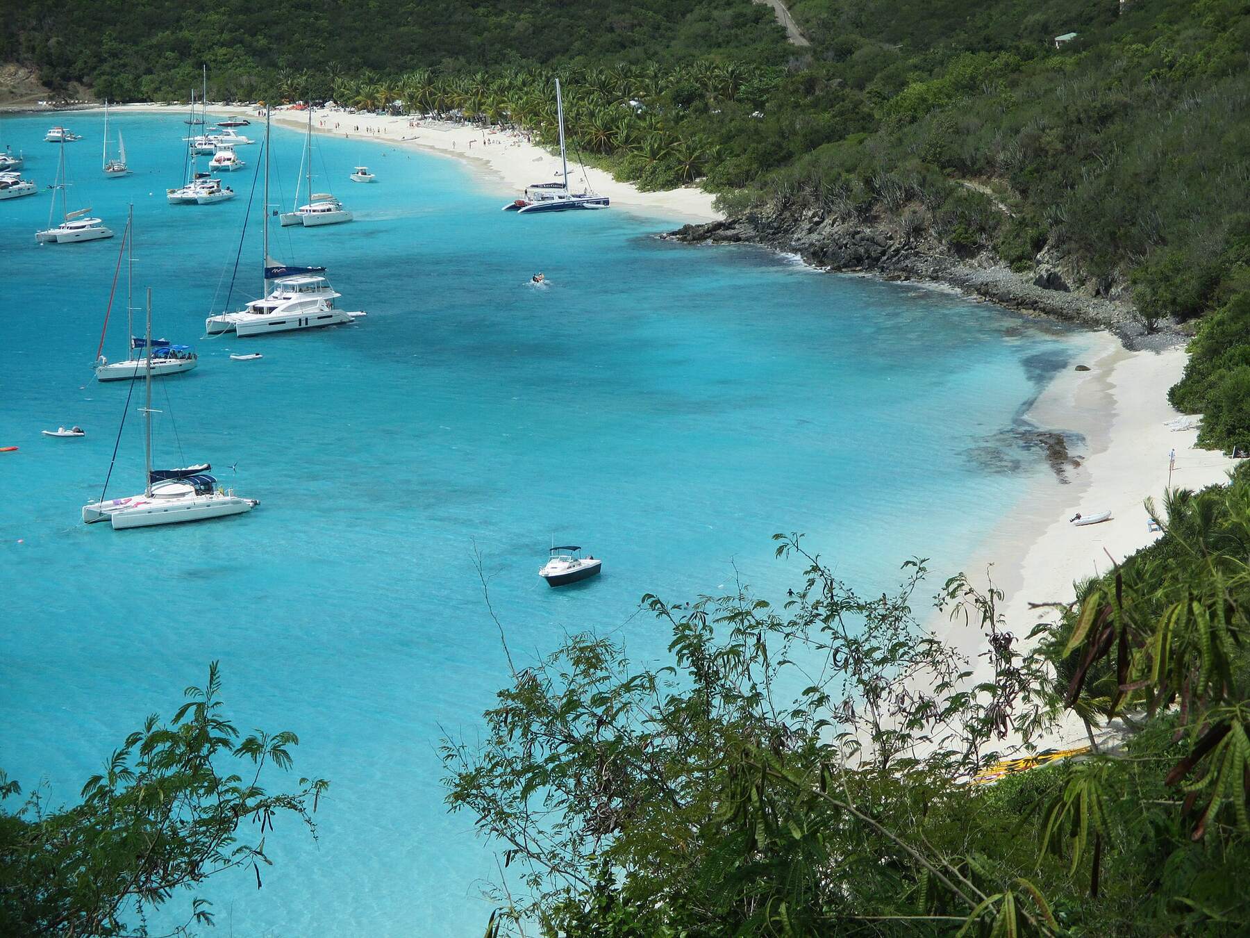
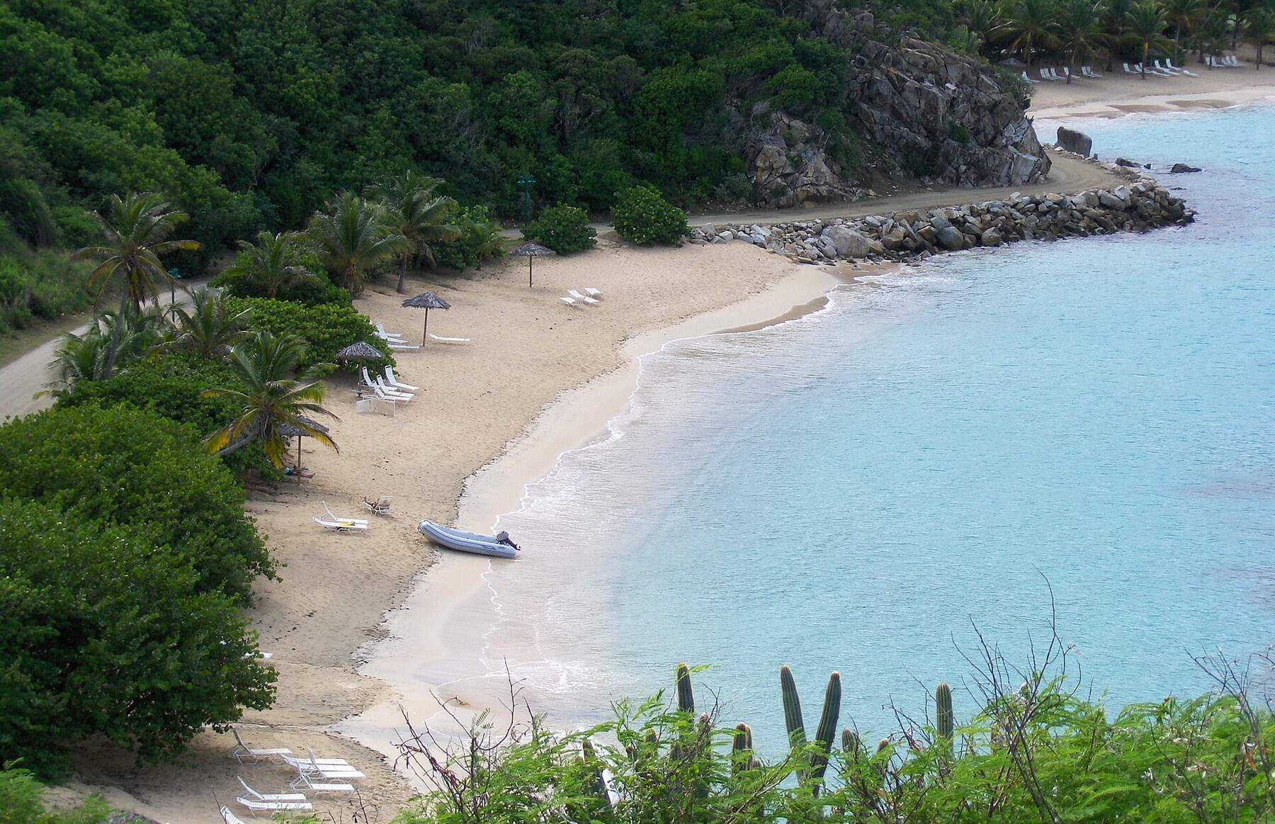
A dinghy pulled up on the beach at Salt Island, Cooper Island's neighbour, with charter catamarans at anchor offshore Photo: Cayeldo, CC BY-SA 3.0
Beaches
The best beaches on Cooper Island
Cooper Island has one beach most visitors set foot on: the sand along Manchioneel Bay, in front of and south of the beach club. The island's other shores face the open channel or the trade-wind swell, and most are rocky and reached only by boat. Numbers match the map. For which one is calm and uncrowded today, open the beach report.
1
Cooper Island Beach
Calm waterSnorkel off the sandBeach bar
The beach on Manchioneel Bay, with the restaurant, the rum bar and the Coffee Box behind it and the mooring field in front. The water is calm in the usual easterly trade wind; reef runs along the shore and out to Cistern Point at the south end of the bay.
The rocky point at the south end of Manchioneel Bay: boulders in the shallows, then patchy coral sloping into deeper water, with turtles, rays, tarpon and schools of reef fish. Easy from a dinghy or a swim from the beach on a calm day; stay clear of the moorings and the boats coming in to them.
Four small ships deliberately sunk off Cooper Island's south-west shore as an artificial reef — the Marie L and the Pat side by side, the tug Beata and the Island Seal upside down — on sand beside a reef slope at about 60 to 90 ft. All are coral-covered and draw schooling fish, rays and turtles. A dive for certified divers; dive operators, the shop at the beach club among them, run trips.
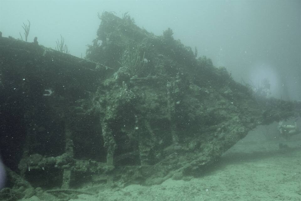
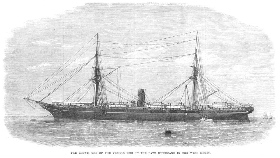
The Royal Mail steamer Rhone was driven onto Black Rock Point, at the south-west end of Salt Island, by the hurricane of October 1867, and broke in two; most of those aboard were lost. The stern lies in about 30 ft of water, the coral-covered bow in about 80 ft — one of the best-known wreck dives in the Caribbean, and a protected marine park. On a calm day snorkelers can see the shallowest wreckage from the surface.
Cooper Island Beach Club's rum bar keeps one of the largest rum selections in the Virgin Islands, and the club brews its own beer in a solar-powered microbrewery. The bar faces west over the bay, toward the sunset. Book dinner ahead in season; the restaurant fills with the boats on the moorings.
Cooper Island is a classic stop on a bareboat week out of Tortola: a short sail across the channel, a ball in the bay, dinner ashore and Cistern Point before breakfast. Norman and Peter Islands lie to the west along the same side of the channel, the Baths on Virgin Gorda a short sail to the north-east.
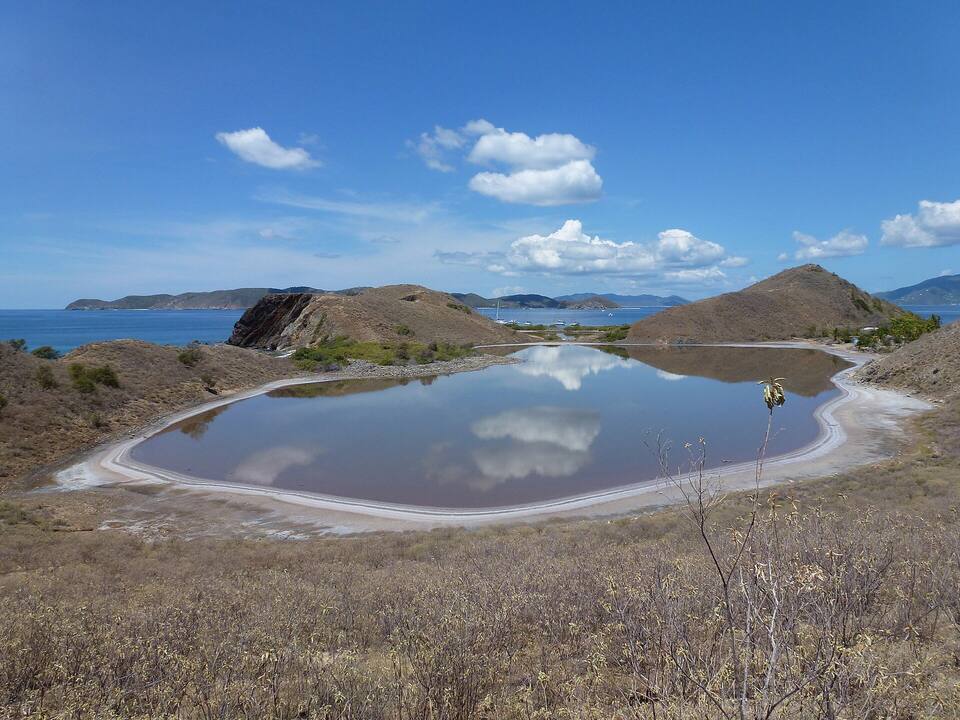
Cooper's neighbour to the west is named for its salt ponds, once an important resource; the few remaining residents still pay a symbolic rent of one pound of salt a year to the Crown, delivered to the Governor. Many of the Rhone's dead were buried in a mass grave a short walk from the main beach, marked by a ring of stones. Visitors land by dinghy on a calm day and walk up to the ponds.
On 29 October 1867 a hurricane struck the Virgin Islands while the Royal Mail steamers were coaling at Peter Island. The Rhone ran for open sea through the channel and struck Black Rock Point off Salt Island; she broke in two and sank. Most of the people aboard were lost. A century later the wreck became one of the Caribbean's best-known dives — the 1977 film The Deep was shot on it — and the RMS Rhone Marine Park was declared in 1980.
Everything to eat and drink is at Cooper Island Beach Club on Manchioneel Bay: the restaurant on the sand, the rum bar, the brewery's taps and the Coffee Box for coffee, pastries and ice cream. There is no grocery store — ice, cold drinks and a few sundries only — so provision on Tortola. The club closes for part of hurricane season each year; check before you sail over between August and October.
Manchioneel Bay
Cooper Island Beach Club RestaurantThe beach club's open-air restaurant on the sand at Manchioneel Bay: fresh fish, local and international dishes, cocktails and the beer brewed on the island. Book dinner ahead in season.
Cooper Island Beach Club BarThe beach club's bars on Manchioneel Bay: a rum bar with one of the largest rum selections in the Virgin Islands, and beer from the club's own solar-powered microbrewery.
Shopping: Cooper Island Beach Club Boutique — The beach club's gift shop on Manchioneel Bay: clothing, gifts and sundries. With the bars and the Coffee Box, about the only place on the island to buy anything, ice included.
Weather & sea
Cooper Island weather and the best time to go
Warm all year: highs in the mid-80s °F and a steady easterly trade wind. Manchioneel Bay faces west, so it is sheltered from the usual trade-wind swell; a rare westerly or a big winter ground swell can make the moorings rolly. December to April is the dry, busy sailing season. June to November is hurricane season, with the peak from mid-August to mid-October, when the beach club closes for a few weeks.
Cooper Island has no reading of its own; these are the waters off Tortola, across the Sir Francis Drake Channel. Daily-mean sea-surface temperature, averaged 2021–2024 (Open-Meteo marine reanalysis): warmest in Sep (86.3°F), coolest in Feb (79.3°F). Hurricane history map
Good to know
Cooper Island travel tips
Passport, every time
Cooper Island is in the BVI. Coming from St. Thomas or St. John, every passenger needs a passport and pays the BVI entry fees, and the boat clears customs at a port of entry before it reaches Cooper.
Book the ball, or come early
Manchioneel Bay's reservable balls are booked in the BoatyBall app; the first-come balls go by about noon in season. Anchoring in the field is not allowed.
Bring your rubbish home
There is no trash collection ashore. Keep it aboard, or hand it to the boat-to-boat service that calls in the bay.
Provision on Tortola
Beyond ice, cold drinks and the restaurant, there is nothing to buy on Cooper Island. Stock up in Road Town before you cross.
Rhone moorings are for day use
The National Parks Trust balls at the RMS Rhone are day use only, for boats with the marine-park permit your charter base sells. No anchoring in the park.
Mind the reef
Do not stand on coral or touch it, keep fins up in the shallows at Cistern Point, and dinghy slowly through the mooring field — swimmers and snorkelers are in the water.
By boat only — there is no airport and no public ferry. Sailors take a mooring in Manchioneel Bay; day sails and powerboat trips come from Tortola, and some from St. Thomas and St. John; and Cooper Island Beach Club runs its own boat from Road Town for its hotel guests. Boats from the U.S. Virgin Islands clear BVI customs first.
Is there a ferry to Cooper Island?
No. None of the Virgin Islands' scheduled public ferries call at Cooper Island. The beach club's boat from Road Town carries its hotel guests; everyone else comes by charter, day trip or their own boat.
Can you stay on Cooper Island?
Yes, at Cooper Island Beach Club, which has a small number of beachfront rooms on Manchioneel Bay — eight at last count. The rest of the island is private homes. Sailors stay aboard on a mooring in the bay and come ashore by dinghy.
Is Cooper Island Beach Club open all year?
No. It closes for the quietest weeks of hurricane season, usually from early August until late October or the start of November, and nothing ashore on Cooper Island is open while it is shut. Check the club's own dates before you sail over in late summer or autumn.
Can you anchor at Cooper Island?
Not in Manchioneel Bay's mooring field — anchoring there is not allowed. Take a ball: some are reservable in the BoatyBall app, the rest are first-come and paid on the water, and they usually go by about noon in season.
How far is the RMS Rhone from Cooper Island?
About 2 miles west of the beach club, off Black Rock Point at the south-west end of Salt Island. Dive boats run there from Cooper Island and Tortola; sailors use the National Parks Trust day moorings in the marine park, which need a permit.
What is Wreck Alley?
A dive site off Cooper Island's south-west shore where four small ships were deliberately sunk as an artificial reef — the Marie L, the Pat, the tug Beata and the Island Seal — at about 60 to 90 ft. It is for certified divers; snorkelers do better at Cistern Point.
Do you need a passport to go to Cooper Island from St. Thomas or St. John?
Yes. Cooper Island is in the British Virgin Islands, so a trip from the U.S. Virgin Islands is international: every passenger needs a passport, the boat clears BVI customs and immigration at a port of entry first, and BVI entry fees apply.
Photo & map credits
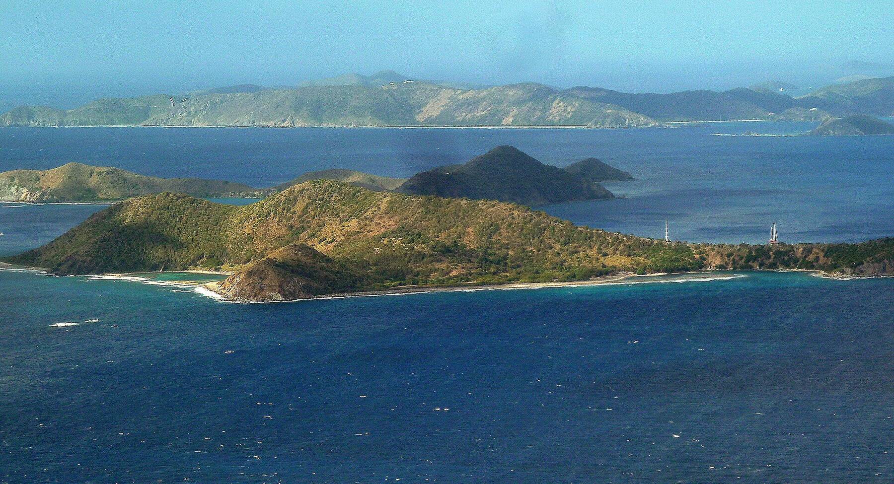
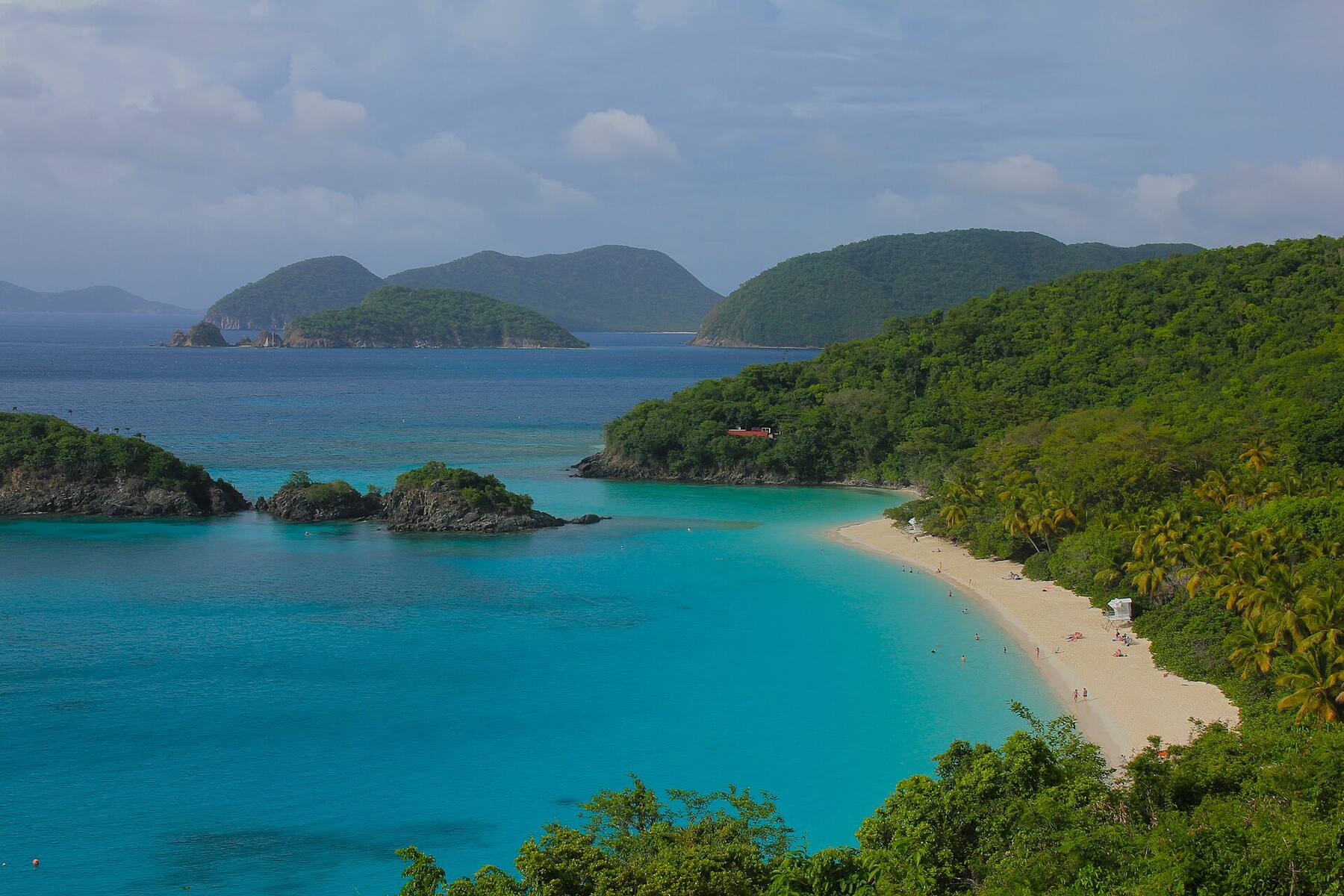
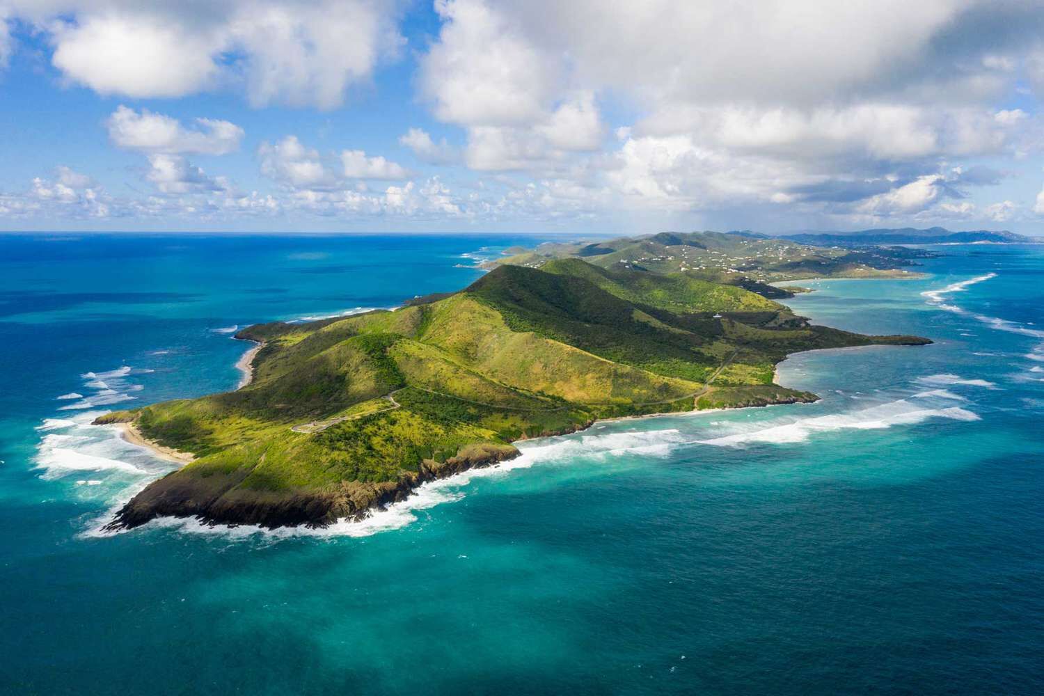
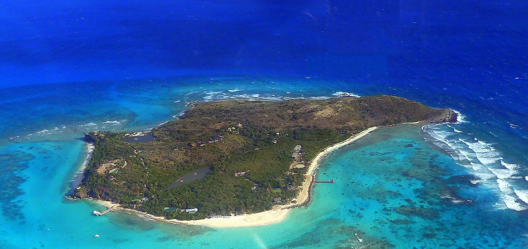
Cooper Island from the air, its green hills and sandy shore ringed by reef, with Salt Island and Peter Island beyond and Tortola across the channel — giggel, CC BY 3.0, via Wikimedia Commons (resized).
Cooper Island across the Sir Francis Drake Channel from the hills of Tortola, with yachts on the moorings in Manchioneel Bay — Legis, Public domain, via Wikimedia Commons (resized).
A dinghy pulled up on the beach at Salt Island, Cooper Island's neighbour, with charter catamarans at anchor offshore — Cayeldo, CC BY-SA 3.0, via Wikimedia Commons (resized).
One of Salt Island's salt ponds, ringed with dry scrub, with the Sir Francis Drake Channel beyond — Cayeldo, CC BY-SA 3.0, via Wikimedia Commons (resized).
The coral-grown bow section of the RMS Rhone on the sand off Salt Island — Gareth Richards, CC BY-SA 3.0, via Wikimedia Commons (resized).
The RMS Rhone under steam and sail: a wood engraving from The Illustrated London News of 23 November 1867, published after her loss in the hurricane — Josiah Robert Wells, Public domain, via Wikimedia Commons (resized).