A short curve of sand on St. Thomas's north side, the next bay west of Magens: fishing boats on their moorings, a boat ramp, one bar on the beach — and, when a winter north swell comes in, the island's surf break. No gate, no fee, no resort on the sand; locals far outnumber visitors.
The call is the same one our beach report makes, refreshed every half hour: the swell reaching the north shore (Open-Meteo's marine forecast north of the islands), NOAA's sargassum satellite and the rain forecast. Hull Bay has no cruise-crowd term — no excursions come here. A surfer's good day is a swimmer's bad one: when the call marks the swell, the bay is breaking. It is a model, not a lifeguard's report, and there is no lifeguard at Hull Bay. The bars under each call are the hours from 8 am to 5 pm. Today's beach report
Hull Bay from OpenStreetMap: the sand at the head of the bay, Hull Bay Road coming down the valley and the houses on the hills around it. OpenStreetMap does not map The Shack, the boat ramp or any parking here, so they carry no pin: The Shack is across the road behind the south end of the sand, and the ramp is on the beach.
Getting there
How to get to Hull Bay
Hull Bay is on the north side of St. Thomas, over the ridge from Charlotte Amalie and a valley west of Magens Bay. The road climbs out of town to the ridge, and Hull Bay Road (Route 37) drops from it down the Hull Bay valley to the beach. There is no bus and no excursion: almost everyone comes by car or taxi.
Taxis charge the official per-person fares in the table from Charlotte Amalie — the tariff's start for the downtown cruise docks — the airport and Red Hook. We found no taxi stand at Hull Bay, so agree a pick-up time, or keep the driver's number. Driving, the road down is steep and narrow, with tight bends — and on the left.
Hull Bay from the hill above in May 2018: the boats on their moorings, the beach and the flat valley behind it, and houses on the point beside the bay Photo: Gruepig, CC BY-SA 4.0
Official taxi fares to Hull Bay
From
1 passenger
2+ (each)
Drive
Charlotte Amalie
$18
$12
12 min · 6 km
Airport (STT)
$23
$15
20 min · 8.9 km
Red Hook
$23
$15
25 min · 14.9 km
Per person, one way: fares set by the VI Taxicab Commission (rates revised October 24, 2022); night, luggage and waiting surcharges apply. Drive times are Google's for an ordinary day. Fare calculator for any two stops
Agree the fare and a pick-up time before you set off — fares are per person, one way — and keep the driver's number.
Parking is along the road behind the beach and by the ramp; keep the ramp and its approach clear for boat trailers.
Map apps can send you up private driveways for “Hull Bay Beach”: stay on Hull Bay Road down the valley to the beach instead.
From a ship, allow for the drive over the ridge both ways and keep the all-aboard time in mind.
Hull Bay is free. Under the Virgin Islands' Open Shorelines Act the public has the right to use and enjoy the shoreline — from the low-tide line inland 50 feet, or to the line of vegetation or a natural barrier, whichever is shorter — and no one may block it. There is no gate, no attendant and no closing time. The land behind the beach is private: The Hideaway is a gated estate for its own guests, but The Shack, its bar and grill, is open to the public.
The Shack: what things cost
Entry to the beach
Free
Grilled or crispy fish tacos
$23
Snapper sandwich
$26
The Shackburger
$20
Conch fritters
$20
Heineken at happy hour (3 – 5 pm)
$4
Prices from The Shack's own menu as listed in October 2026; mains come with fries or slaw. There is nothing to rent on the beach that we could confirm — no chairs, umbrellas, boards or kayaks — so bring your own.
The Shack's hours
Open
Tuesday – Sunday
Kitchen
11:30 am – 9 pm
Bar
till 9 pm
Monday
Closed
Bingo
Tue 5 – 9 pm
Live music
Thu & Sat 5:30 – 8:30 pm
Movie night
Fri from 6:30 pm
The Shack's own site; it says the weekly schedule is subject to change and posts updates on Instagram (@theshackhullbay). The bar's opening time is not published. The beach itself has no hours.
Using the beach
✓The sand and the water — public shoreline, by law, whoever owns the land behind it
✓The Shack — open to the public, not only to Hideaway guests
✕Fencing or blocking the shoreline — the Act forbids any obstruction that keeps the public off it
✕The Hideaway's grounds and pool — a private, gated estate
✕Sunscreen with oxybenzone, octinoxate or octocrylene — banned throughout the U.S. Virgin Islands
The bar and grill across the road from the beach, with tables in the open air: fish tacos, a snapper sandwich, burgers, conch fritters and frozen drinks made with fruit and herbs from The Hideaway's own farm, Tuesday to Sunday, kitchen 11:30 am to 9 pm. It has been feeding “fishermen, surfers, and other people since 1970”, it says — for years under the name Hull Bay Hideaway. A fire gutted its kitchen on January 31, 2025; it reopened four days later.
The concrete launch ramp at the beach is the north side's public ramp, and the small boats on moorings in the bay are mostly the fishermen's. The ramp collapsed in February 2019 and was repaired; a full rebuild — a 120-foot ramp ending in 4½ feet of water, with trailer parking — has been planned by the Department of Planning and Natural Resources since 2011 and went back out to bid in June 2024 after two bids of $4 million and $6 million. We found no later award. Swim clear of the ramp and the boat moorings.
When a winter swell from the North Atlantic reaches the north shore, waves break across the mouth of the bay over rock and reef, and Hull Bay is where St. Thomas surfs: “usually surfable during most north swells”, one of the island's veteran surfers told the St. Croix Source in 2019, and the easiest break on the island to get to. There is no board rental or surf school that we could confirm — bring your own board, and booties for the urchins. The current is strong when it is breaking: one of the first surfers here remembered a 20-minute swim after a lost board.
On a calm day the water off the sand is clear and gentle, with rocks and some coral toward both points for a look with a mask. There is no lifeguard and no swim line. On a north-swell day the bay breaks right across and the swim is for surfers only — and on any day, keep clear of the boats coming and going from the ramp.
Hull Bay is one of the beaches the Department of Planning and Natural Resources samples each week for bacteria and turbidity. In its advisory of October 9, 2026 it met the standard and was listed safe for swimming and fishing. DPNR's standing advice is to stay out of water near guts and drainage after heavy rain, or where sargassum has piled up.
Behind the sand, beside The Hideaway, is a small wetland whose mature red mangroves were almost all lost in the 2017 hurricanes. Since December 2022 students in the University of the Virgin Islands' Mangroves in the Classroom programme have planted and monitored 893 red mangroves there, The Hideaway says — 675 students so far.
There is no attendant and no fee: people park along the road behind the beach and by the ramp. The Hideaway's free on-site parking is for its guests. Taxis drop off at the beach, but we found no taxi stand — agree a pick-up time with your driver; the fare back is the same official per-person fare as the way out.
From about November to March, swells from storms far out in the North Atlantic reach the north shore, and Hull Bay is where St. Thomas surfs. It is a reef and rock break with a strong current: for experienced surfers with their own boards. Check the swell before you drive over the hill.
Fish tacos and a frozen drink across the road from the sand, with the boats coming and going. Happy hour is 3 to 5 pm, and there is music on Thursday and Saturday evenings.
The north side's fishermen keep their boats in the bay and bring the catch in over the ramp, about 20 feet from The Shack's kitchen, The Hideaway says. On a Sunday in July the Northside Sportfishing Club's Bastille Day Kingfish Tournament fills the beach — the club has run it since 1988, and 177 anglers on 40 boats fished the 2024 edition.
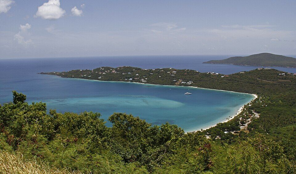
When Hull Bay is breaking, or you want lifeguards, a bathhouse and chairs, Magens Bay is the next bay east: a long, sheltered beach run as a park, with an entry fee. It is round the ridge by road, not along the shore.
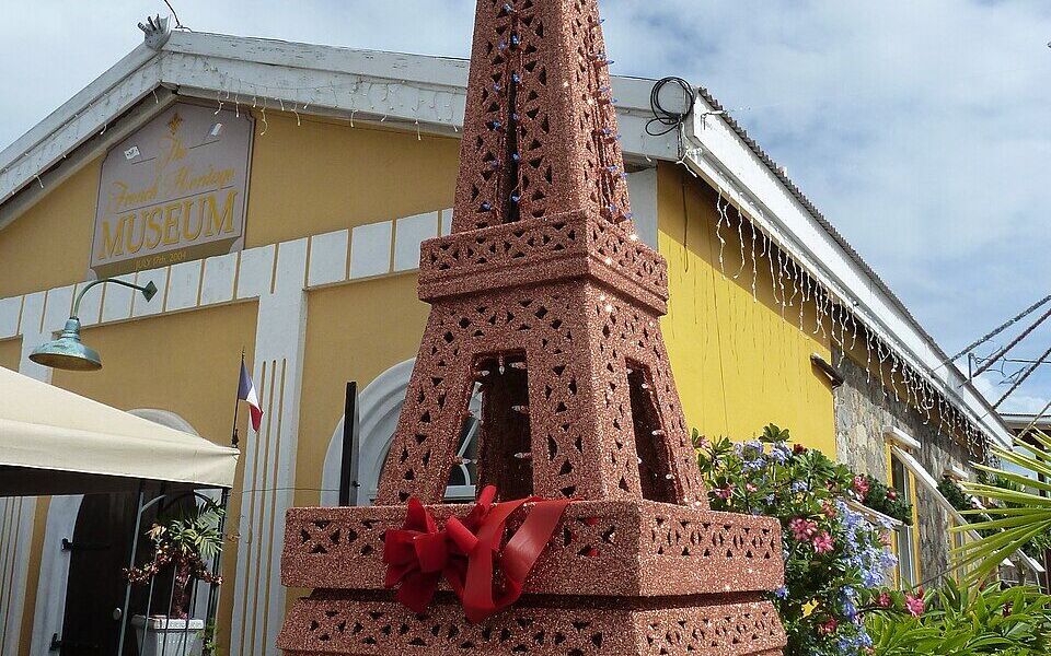
The north side's fishing families and Frenchtown, on the harbour in Charlotte Amalie, share their roots in St. Barthélemy. The small French Heritage Museum in Frenchtown opens 10 am to 1 pm, Monday to Friday, and arranges private tours on (340) 714-2583.
The Shack, across the road from the beach, is the only food at Hull Bay: fish tacos, sandwiches, burgers and frozen drinks, Tuesday to Sunday from 11:30 am. It is closed on Mondays — bring your own then, and on any day bring water.
For anything else, Charlotte Amalie's restaurants are back over the ridge.
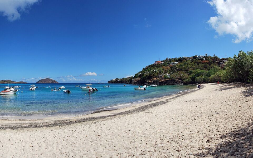
The other end of the beach, below the houses on the point, with the pebbly line at the water's edge (July 2015, cropped from a panorama) Photo: Matt H. Wade, CC BY-SA 4.0
At the beach
The ShackBar and grill across from the sand; kitchen 11:30 am–9 pm, Tuesday to Sunday; happy hour 3–5 pm. (340) 244-5957.
Bring your ownThere is nothing else at the beach: bring water, food and shade, and take your trash home.
Over the ridge
Charlotte AmalieThe capital's restaurants and bars, back over the hill.
Magens BayFairchild's bar and grill inside the park, the next bay east (entry fee to the park).
Weather & sea
Hull Bay weather and the best time to go
Warm all year: highs in the mid-80s °F in winter and around 90 °F in late summer, a steady easterly trade wind and short showers rather than all-day rain. December to April is the dry season.
Hull Bay opens north-west to the Atlantic, so it lives by the north swell. Most of the year the easterly trade-wind sea runs along the coast and the bay is calm. From about November to March, storms far out in the North Atlantic send long swells south that break across the bay for a day or several — a surf day, not a swim day. In February 1999 one such swell sank and capsized power boats on their moorings here. The call at the top of the page reads the swell every half hour.
The next 7 days on St. Thomas
Day
Sky
High / low
Rain
Wind
Seas offshore
Today
Thunderstorms
84° / 78°F
95%
SW 17 mph, gusts 24
3.1 ft
Tomorrow
Thunderstorms
82° / 79°F
88%
WSW 19 mph, gusts 26
3.3 ft
Sun, Nov 8
Drizzle
83° / 81°F
67%
WSW 13 mph
3 ft
Mon, Nov 9
Partly cloudy
83° / 81°F
41%
NNW 7 mph
2.4 ft
Tue, Nov 10
Drizzle
83° / 80°F
31%
NE 14 mph
1.8 ft
Wed, Nov 11
Overcast
83° / 82°F
25%
E 14 mph
2.2 ft
Thu, Nov 12
Drizzle
84° / 82°F
25%
ESE 12 mph
2.6 ft
Open-Meteo forecast for St. Thomas, refreshed every half hour. The seas are offshore; how much of it reaches the sand is the call above. NWS alerts & marine forecast · North swell season
Sea temperature by month
80°Jan
80°Feb
80°Mar
81°Apr
83°May
85°Jun
85°Jul
85°Aug
86°Sep
86°Oct
84°Nov
82°Dec
Daily-mean sea-surface temperature off St. Thomas, averaged 2021–2024 (Open-Meteo marine reanalysis): warmest in Sep (86.4°F), coolest in Feb (79.8°F).
Live cameras
Is there a Hull Bay webcam?
No — there is no public live camera at Hull Bay. The nearest live cameras on St. Thomas are on the other side of the island: Sapphire Beach on the East End and Lime Out's floating bar in Lindbergh Bay by the airport. For the surf, the swell forecast is the better guide.
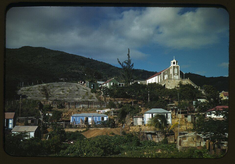
The first migrants from Saint-Barthélemy reach St. Thomas and hire out as planters and gardeners. On the north side they find land to lease with an option to buy, terrace the hillsides and farm; later arrivals turn to the sea, saving to build fishing boats and making nets and fish pots by hand.
1960s
No road to the surf
There is no road down to Hull Bay. Don Edwards, who came to St. Thomas in 1967, hikes in with his board and may have been the first to ride a wave here.
1968
The first surf contest
The first Hull Bay surf contest is held; later the Hull Bay Classic follows.
1970s
A bar and a campground
A campground and restaurant open behind the beach — the bar that was long known as the Hull Bay Hideaway, “serving fishermen, surfers, and other people since 1970”.
1988
The kingfish tournament
The Northside Sportfishing Club holds its first Bastille Day Kingfish Tournament at Hull Bay, for the north side's small boats. It has given more than $230,000 to island causes since.
February 2, 1999
The north swell
Heavy northerly swells sink or capsize several power boats on their moorings in Hull Bay and wash over the road, as owners watch from the shore.
September 2017
Irma and Maria
The two hurricanes destroy most of the mature red mangroves in the wetland behind the beach.
February 2019
The ramp collapses
The public boat ramp collapses and is patched with money from the long-planned renovation.
January 2022
The Hideaway
The land behind the beach reopens as The Hideaway, a private estate for groups with a two-acre farm; its bar, The Shack, stays open to the public.
December 2022
Mangroves in the Classroom
School students begin replanting red mangroves in the wetland behind the beach with the University of the Virgin Islands.
June 2024
The ramp out to bid again
DPNR's two bids to rebuild the ramp, $6 million and $4 million, are called “ludicrous” at a Senate hearing and the job goes back out to bid; the parking expansion is postponed indefinitely.
January 31, 2025
Fire at The Shack
A fire guts The Shack's kitchen, laundry, storage and bathrooms before opening time; no one is hurt, and it reopens with a short menu four days later.
“French village, a small settlement on St. Thomas Island”: Jack Delano's colour photograph for the U.S. government, about 1941 Photo: Jack Delano, Public domainHull Bay from the hill above in May 2018: the boats on their moorings, the beach and the flat valley behind it, and houses on the point beside the bay Photo: Gruepig, CC BY-SA 4.0
Hull Bay is two different beaches: flat and quiet most of the year, breaking across the bay in a winter north swell. The call at the top of the page and the swell forecast tell you which one you will find.
Bring everything
There are no rentals, no lifeguard and no public bathhouse that we could confirm. Bring water, shade, snorkel gear or a board — and The Shack is closed on Mondays.
Mind the boats
This is a working bay: boats launch at the ramp and run to their moorings. Swim away from the ramp and the moored boats, and do not block the ramp with your car.
Reef-safe sunscreen is the law
The U.S. Virgin Islands ban sunscreens with oxybenzone, octinoxate or octocrylene. Bring a mineral (zinc or titanium) one.
Wear something on your feet
The rocks and reef at the edges, and the pebbly line at the water's edge, have urchins — booties or reef shoes help, especially surfing.
Leave nothing in the car
Parking is along an open road with no attendant. Take valuables to the beach or leave them at home.
Yes. There is no gate and no entry fee: under the Virgin Islands' Open Shorelines Act the shoreline is public — the sand from the low-tide line inland 50 feet, or to the vegetation line if that is shorter. The land behind it is private (The Hideaway estate), but The Shack, its bar and grill, is open to the public.
How do I get to Hull Bay?
By car or taxi: the road climbs from Charlotte Amalie to the ridge, and Hull Bay Road (Route 37) drops down the valley to the beach — about 12 minutes (6 km) from town. The official taxi fare from Charlotte Amalie is $18 for one rider, $12 each for two or more. There is no bus and no taxi stand at the beach, so agree a pick-up time.
How much is a taxi to Hull Bay?
Taxis charge fixed per-person fares set by the VI Taxicab Commission. From Charlotte Amalie it is $18 for one rider, $12 each for two or more; from the airport $23 for one rider, $15 each for two or more; from Red Hook $23 for one rider, $15 each for two or more. Night, luggage and waiting surcharges apply.
Is Hull Bay good for surfing?
It is St. Thomas's surf spot, when there is a swell: from about November to March, swells from the North Atlantic break across the bay over rock and reef. Most of the year it is flat. There is no board rental or surf school we could confirm, so bring your own, and watch for urchins and a strong current.
Can you swim at Hull Bay?
Yes, on a calm day — which is most of the year. There is no lifeguard. On a north-swell day the bay breaks across and is for surfers only, and on any day stay clear of the boat ramp and the moored fishing boats.
Is there food at Hull Bay?
The Shack, across the road from the beach, serves fish tacos, sandwiches, burgers and drinks Tuesday to Sunday, kitchen 11:30 am to 9 pm; it is closed on Mondays. There is nothing else at the beach.
Is the Hull Bay Hideaway still open?
The bar long known as the Hull Bay Hideaway is now The Shack at The Hideaway, open to the public Tuesday to Sunday. The land behind it reopened in January 2022 as The Hideaway, a private estate of villas and cottages rented to groups.
Is there parking at Hull Bay?
Yes, informally: people park along the road behind the beach and near the boat ramp, free and without an attendant. Keep the ramp and its approach clear for trailers. The Hideaway's parking is for its guests.
Are there bathrooms or showers at Hull Bay?
We found no public bathhouse or showers at the beach. The Shack has facilities for its customers. Magens Bay, the next bay east, has bathhouses and lifeguards.
Is the water at Hull Bay clean?
Hull Bay is one of the beaches DPNR samples every week. In its advisory of October 9, 2026 it met the water-quality standard and was listed safe for swimming and fishing. Stay out of water near drainage after heavy rain.
Why do fishing boats anchor at Hull Bay?
It is the north side's fishing harbour: the families there, many with roots in St. Barthélemy, have fished from the north shore for generations, and the bay has the public boat ramp. The Northside Sportfishing Club's Bastille Day Kingfish Tournament has been held here every July since 1988.
Is there a Hull Bay webcam?
No public live camera looks at Hull Bay. The nearest on St. Thomas are at Sapphire Beach on the East End and Lime Out in Lindbergh Bay. For the surf, the north-swell forecast is the better guide.
Photo & map credits
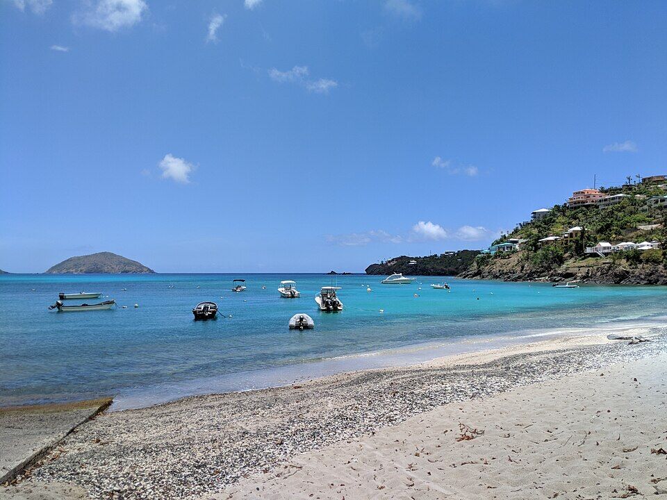
Hull Bay from the sand: the curve of the beach, small boats on their moorings and the cays offshore on the horizon (July 2015, cropped from a panorama) — Matt H. Wade, CC BY-SA 4.0, via Wikimedia Commons (cropped and resized).
Sea-grape shade at one end of the sand, with small boats on their moorings across the bay (July 2015, cropped from a panorama) — Matt H. Wade, CC BY-SA 4.0, via Wikimedia Commons (cropped and resized).
The other end of the beach, below the houses on the point, with the pebbly line at the water's edge (July 2015, cropped from a panorama) — Matt H. Wade, CC BY-SA 4.0, via Wikimedia Commons (cropped and resized).
Hull Bay from the hill above in May 2018: the boats on their moorings, the beach and the flat valley behind it, and houses on the point beside the bay — Gruepig, CC BY-SA 4.0, via Wikimedia Commons (resized).
Small boats on their moorings off the beach, from beside the concrete launch ramp at the bottom left (May 2018) — Gruepig, CC BY-SA 4.0, via Wikimedia Commons (resized).
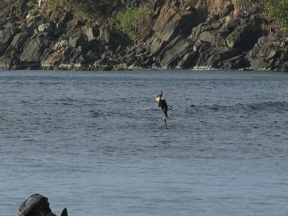
A brown pelican diving for fish in Hull Bay, off the rocks at the edge of the bay — TedAnderson, CC BY-SA 4.0, via Wikimedia Commons (resized).
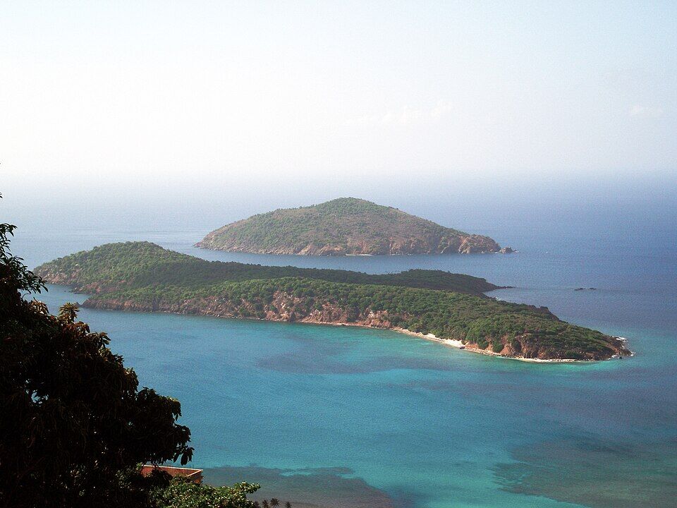
Inner Brass and, behind it, Outer Brass: the two islands off St. Thomas's north shore, seen from the hills (2007) — Turn685, CC BY-SA 3.0, via Wikimedia Commons (resized).
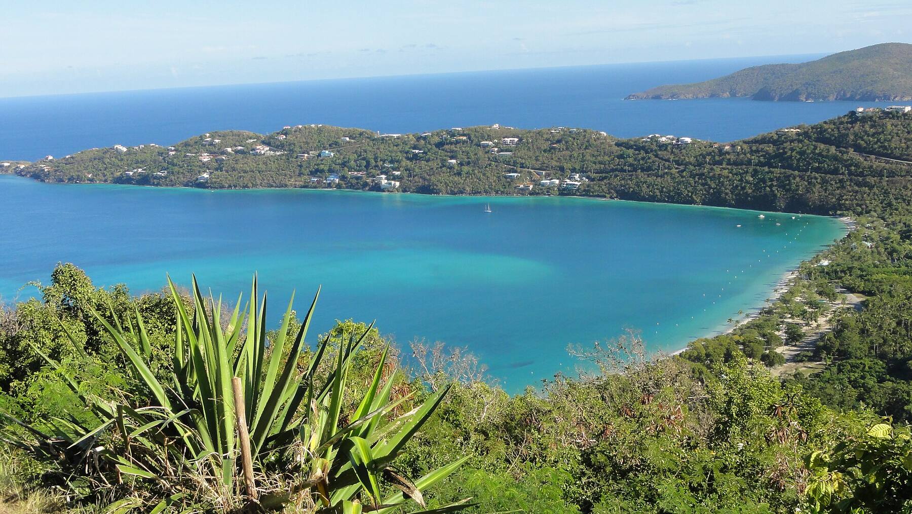
Magens Bay, the next bay east, from the ridge above it — dbking, CC BY 2.0, via Wikimedia Commons (resized).
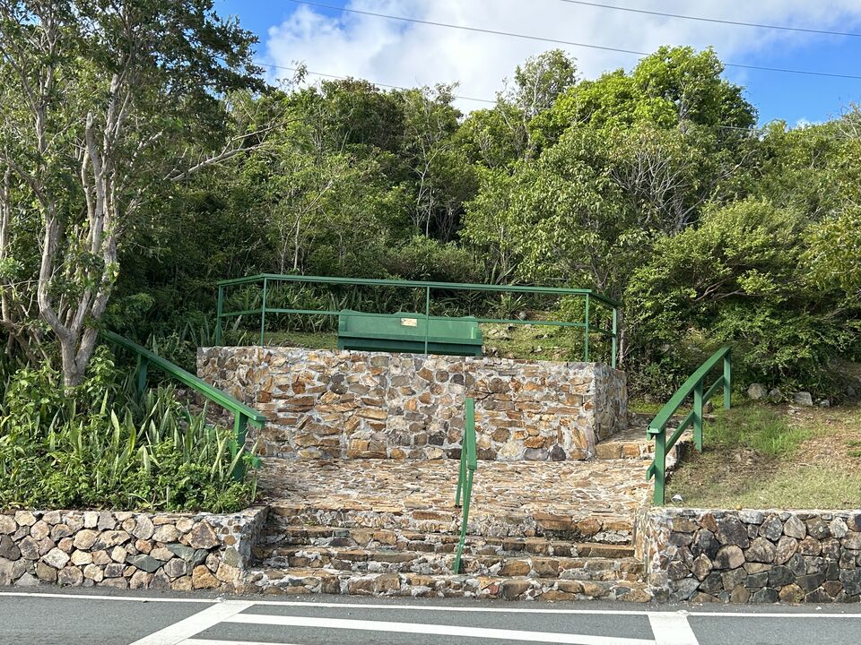
Drake's Seat, the overlook on the ridge above Magens Bay, from across the road — Danivpat, CC BY 4.0, via Wikimedia Commons (resized).
The French Heritage Museum in Frenchtown, Charlotte Amalie, dressed for Christmas in December 2011 — Gruepig, CC BY-SA 4.0, via Wikimedia Commons (cropped and resized).
“French village, a small settlement on St. Thomas Island”: Jack Delano's colour photograph for the U.S. government, about 1941 — Jack Delano, Public domain, via Wikimedia Commons (resized).
The sand and shallow, calm water at Magens Bay — socaltraveler, CC BY-SA 3.0, via Wikimedia Commons (resized).
Coki Beach, looking out to Thatch Cay, with the Coral World observatory tower on the point — Gruepig, CC BY-SA 3.0, via Wikimedia Commons (resized).
Lindquist Beach in Smith Bay Park, on the east end of St. Thomas — Gruepig, CC BY-SA 4.0, via Wikimedia Commons (resized).
Sapphire Beach on the east end, looking out over Pillsbury Sound — PunctuatedArt, CC0, via Wikimedia Commons (resized).
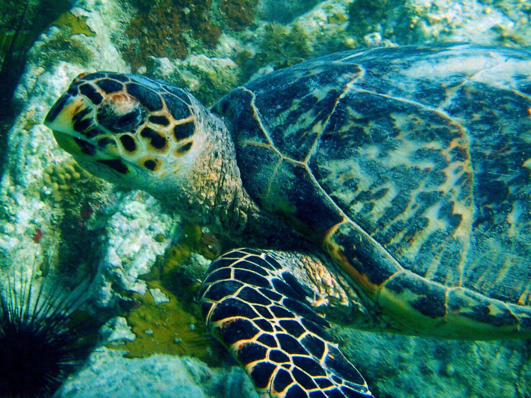
An adult hawksbill turtle over the rocks and coral at Secret Harbor, with a long-spined sea urchin in the corner (2004) — Becky A. Dayhuff, Environmental Educator, NOAA, Public domain, via Wikimedia Commons (resized).
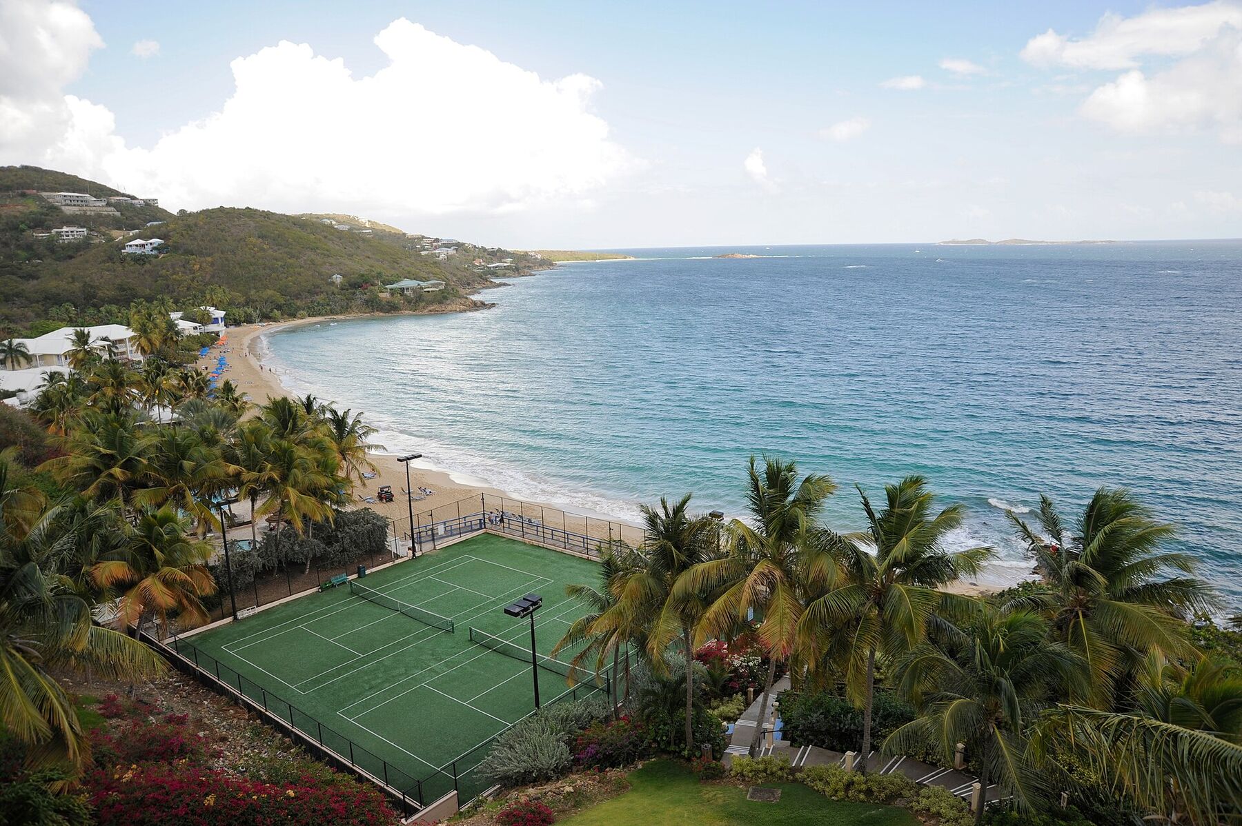
Morningstar Beach from the Frenchman's Reef bluff in May 2009, looking east along the sand: the tennis courts below, palms and beach umbrellas, the headland at the far end and the open sea to the south — Fred Hsu, CC BY-SA 3.0, via Wikimedia Commons (resized).
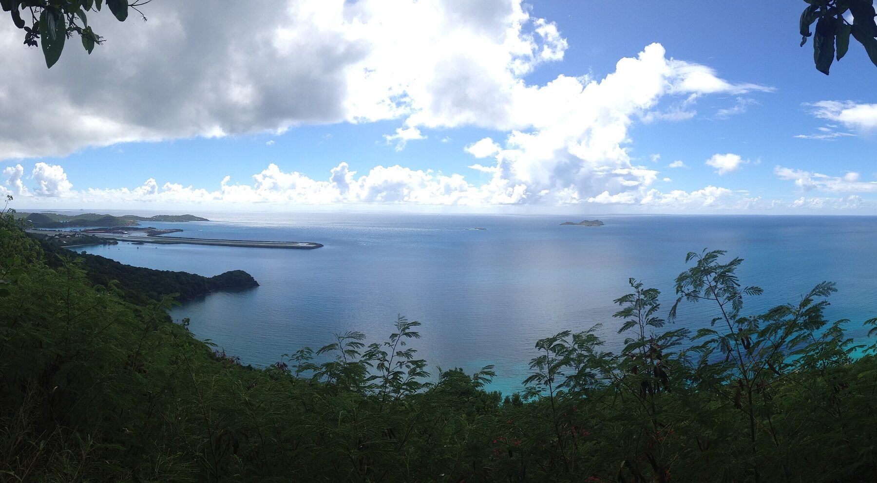
Brewers Bay from the hillside above its north shore in September 2013: the calm bay below, a wooded point, and beyond it the airport runway reaching out into the sea (cropped from a panorama) — Kberg115, CC BY-SA 3.0, via Wikimedia Commons (cropped and resized).
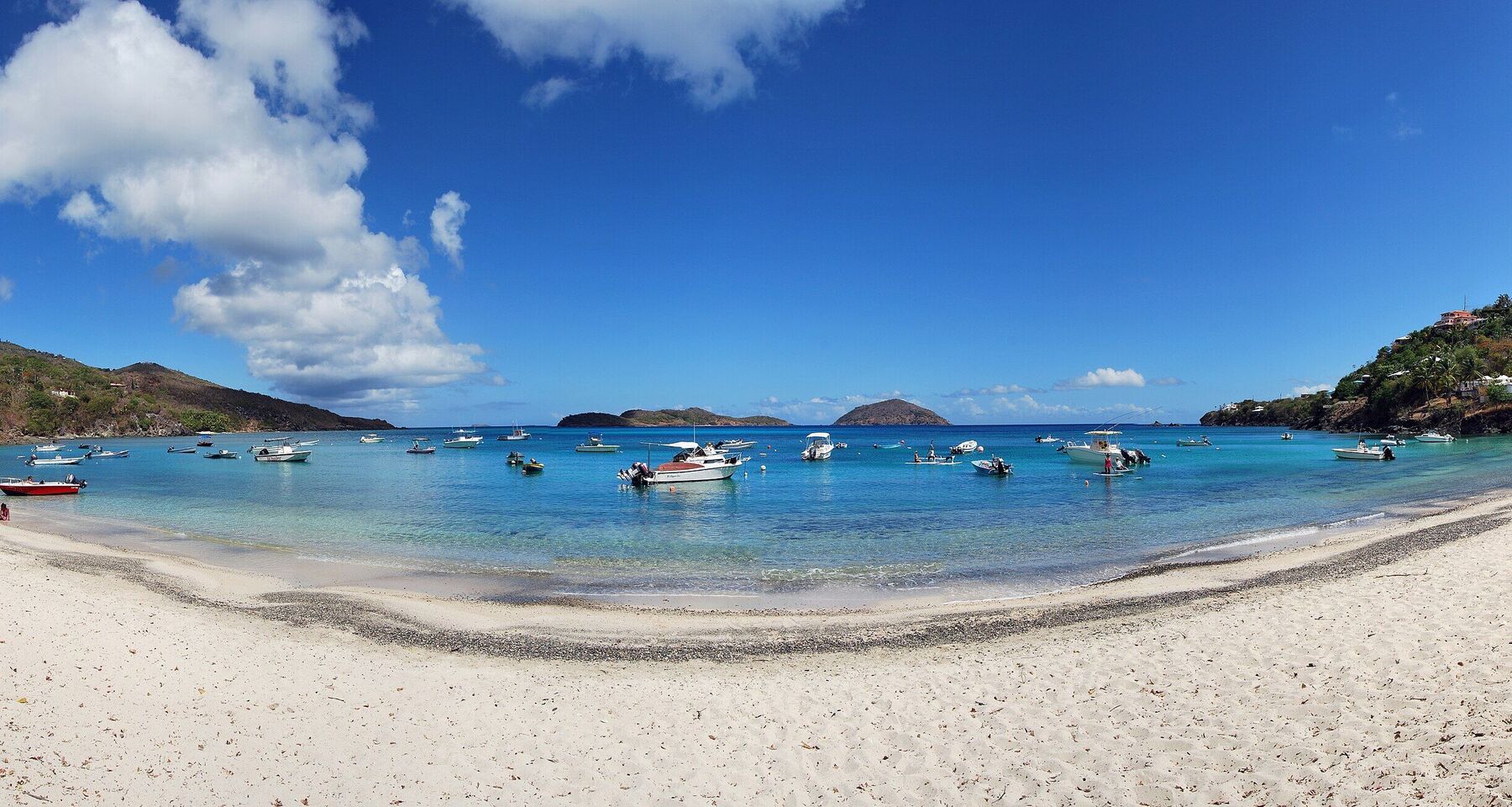
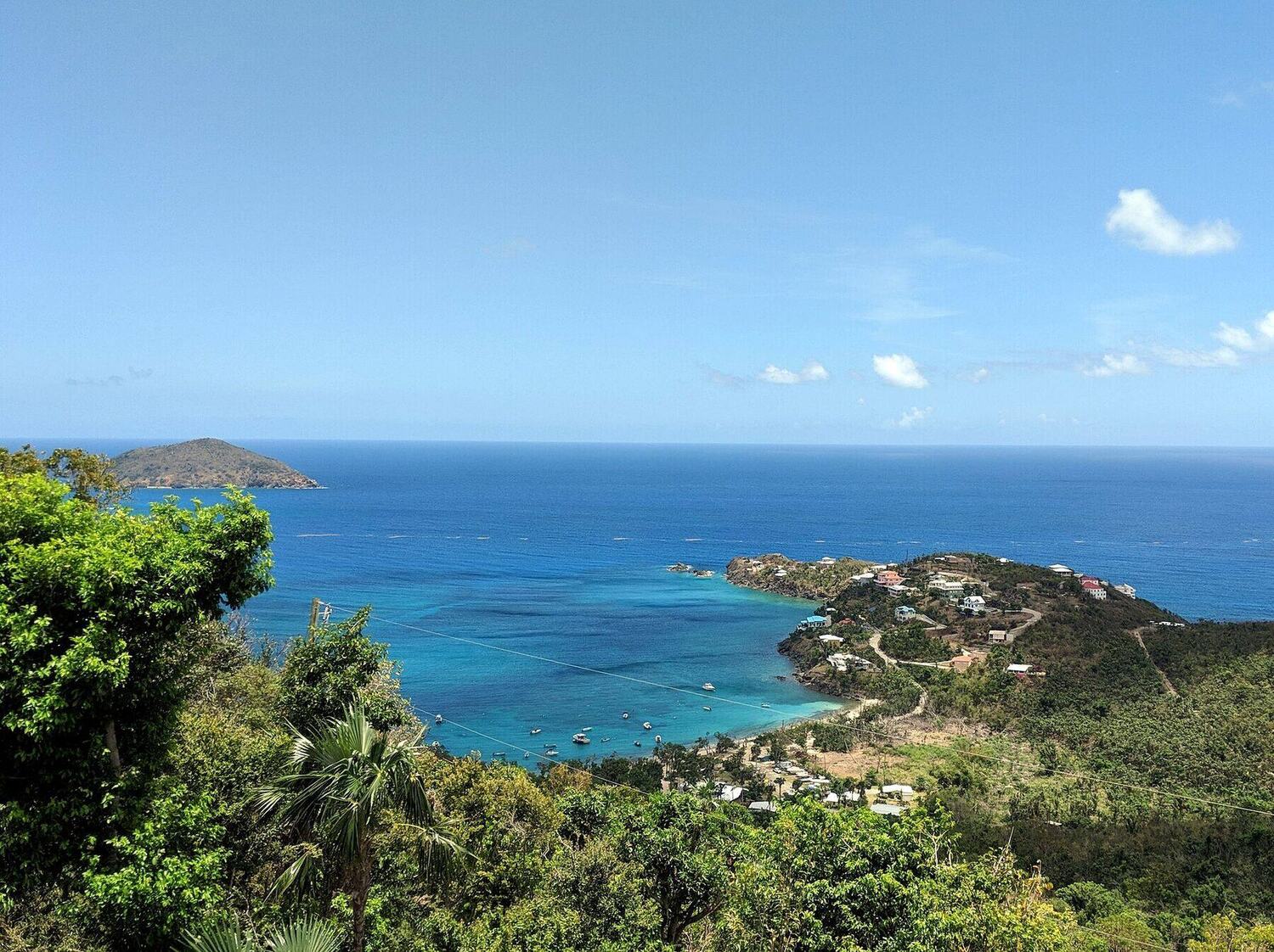
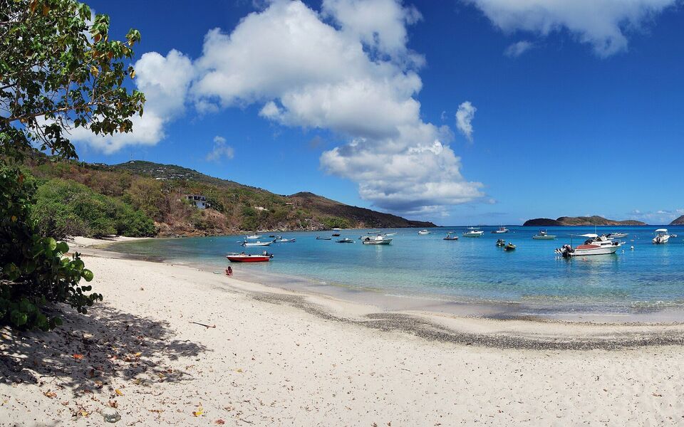 Photo: Matt H. Wade, CC BY-SA 4.0
 Skip today today
 Skip today today
 Skip today today
 Skip today today
 Good today
 Skip today today
 Skip today today