A quarter-mile of sand on the East End of St. Thomas, under a mile up the road from Red Hook, looking out across the water to St. John and the cays. Snorkellers work the rocks of Pettyklip Point at its south-east end, a beach bar and a pizza kitchen sit on the sand, and the shoreline — like every beach in the territory — is public.
The East End of St. Thomas, U.S. Virgin Islands — under a mile north of Red Hook, down the hill from Smith Bay Road (Route 38)
The beach
About 390 m (a quarter of a mile) of sand round the head of Sapphire Bay, from its north-west end to Pettyklip Point; it looks east to Shark Island and St. John
Entry
Free. There is no gate and no entry fee: the shoreline is public under the Virgin Islands' Open Shorelines Act
Behind the sand
Sapphire Beach Resort and Marina, a privately owned condominium resort, with its marina tucked behind the point
On the sand
The Sapphire Beach Club, open to the public: a beach bar, a pizza kitchen, a coffee shop, SeaSalt upstairs, and chair, cabana and snorkel rentals
The water
The bay faces the trade winds, so the wind chop builds through the day and drifting sargassum can wash in; mornings are usually the calmest
Snorkeling
Along the rocks of Pettyklip Point at the south-east end; masks and snorkels rent on the beach
Lifeguards
None that we could find. Swim with a buddy, and keep clear of the boats using the marina
Water quality
One of the 23 beaches the territory's DPNR samples most weeks for bacteria
Live camera
The resort streams a live camera over the beach and the bay
Today
Is Sapphire Beach good today?
Skip today Thunderstorms in the forecast · Sargassum offshore. If you go, the least bad stretch left is 12 pm–3 pm.
Day
The call
Why
Best time
Cruise guests here
Sea at the beach
Rain
Today
Skip today
Thunderstorms in the forecast · Sargassum offshore
12 pm–3 pm
None
Gentle · 1.4 ft
Thunder
Tomorrow
Think twice
Thunderstorms in the forecast · Sargassum offshore
10 am–1 pm
None
Calm · 0.4 ft
Thunder
Sun, Nov 8
Think twice
Sargassum offshore · Choppy — N swell into the bay
8 am–11 am
~450, 10 am–3 pm
Gentle · 1.6 ft
67%
Mon, Nov 9
Skip today
Sargassum offshore · Choppy — NNE swell into the bay
8 am–11 am
~150
Some chop · 2.1 ft
41%
Tue, Nov 10
Skip today
Sargassum offshore · Choppy — NNE swell into the bay
8 am–11 am
~250, 2 pm–5 pm
Some chop · 2 ft
28%
The call is the same one our beach report makes, refreshed every half hour: the swell reaching the bay (Open-Meteo's marine forecast north of the islands) and the trade wind blowing onshore, the cruise passengers our crowd model puts on the sand, NOAA's sargassum satellite and the rain forecast. It is a model, not a lifeguard's report — and we found no lifeguards at Sapphire, so look at the water before you swim. The bars under each call are the hours from 8 am to 5 pm. Today's beach report
Taxi fares from town, the airport and Magens Bay, the ferry from Red Hook, the live camera, the ships, today's beach and weather reads and the island around it — each one opens the full page.
Sapphire Beach from OpenStreetMap: the sand, the resort's buildings and parking behind it, the road down from Route 38, the marina behind Pettyklip Point and Shark Island off it. On U.S. charts and the federal place-name register the bay is Saint John Bay; locally, and on the beach club's own pages, it is Sapphire Bay. Tap a pin for its section.
Getting there
How to get to Sapphire Beach
Sapphire Beach is on the East End, under a mile north of Red Hook. Smith Bay Road (Route 38) runs north out of Red Hook and climbs past the resort's sign at the top of the hill; the road into the resort drops down from there to the beach and the marina. Red Hook is where the ferries leave for St. John and the BVI, so the beach is an easy last swim before a boat, or a first one off it.
Most visitors come by taxi. The official per-person fares in the table run from Charlotte Amalie, the airport and Magens Bay; the tariff has no fare from the cruise docks to Sapphire, so agree the price with the driver before you set off. Driving, the island keeps left, and the road east crawls when several ships are in.
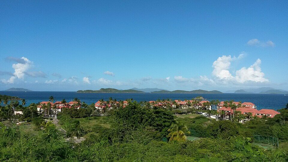
From the hill above the bay: the road down, a parking lot and the red roofs of the resort, with the water beyond (November 2014) Photo: PunctuatedArt, CC0
Per person, one way: fares set by the VI Taxicab Commission (rates revised October 24, 2022); night, luggage and waiting surcharges apply. Drive times are Google's for an ordinary day. Fare calculator for any two stops
Agree the fare and a pick-up time before you set off — fares are per person, one way.
From the Red Hook ferry dock it is a short taxi hop up the hill; the beach is under a mile away by road.
We found no published rule on parking for non-guests in the lots behind the beach: if you drive, park where the signs allow and leave nothing in the car.
From a ship, allow for the drive across the island both ways and keep the all-aboard time in mind.
Sapphire Beach is free. Under the Virgin Islands' Open Shorelines Act the public has the right to use and enjoy the shoreline — from the low-tide line inland 50 feet, or to the line of vegetation or a natural barrier, whichever is shorter — and no one may block it. The resort behind the sand is private; the Sapphire Beach Club, which runs the bar, the restaurants and the rentals on the sand, says it is open to the public.
Beach rentals
Entry to the beach
Free
Chaise lounge chair, per day
$15
Snorkel and mask set, per day
$15
Snorkel board, 2 hours
$15
Cabana, 9 am – 5 pm
$275 a day
Cabana by the hour (2 hours minimum)
$50 an hour
Cabana on a Full Moon Party night
$500
Rentals are paid at Naia Boutique, the beach club's shop on the sand; cabanas can also be booked by email (manager@naiaboutiquevi.com), subject to availability. Prices as listed by Sapphire Beach Bar and the Sapphire Beach Club in October 2026.
Beach club hours
Sapphire Beach Bar
10 am – 8 pm daily
Happy hour at the bar
4 – 6 pm daily
Live music
Sundays 3 – 6 pm
Paradise Pie
10 am – 8 pm daily
The Beach Buzz (food till noon)
7 am – 2 pm daily
SeaSalt, dinner
5 – 10 pm daily
SeaSalt, Saturday brunch
10 am – 2 pm
The hours are the venues' own. Some travel listings show shorter hours for the bar; its own site says 10 to 8 every day. The beach itself has no closing time.
Using the beach
✓The sand and the water — public shoreline, by law, whoever owns the land behind it
✓The bar, restaurants and rentals — the beach club is open to the public
✕Fencing or blocking the shoreline — the Act forbids any obstruction that keeps the public off it
✕The resort's pools and grounds — a privately owned condominium resort
The sand runs from the beach's north-west end round to Pettyklip Point; the beach club's venues sit on the sand below the resort, and the marina is round the point. Prices are the businesses' own, as listed in October 2026.
About a quarter of a mile of sand curving round the head of the bay, with Shark Island off the point and St. John across the water. The bay faces east into the trade winds: on a calm morning it can be glassy, and as the wind builds through the day so does the chop. Because it faces the weather, drifting sargassum can wash up here when it is in the water off the East End — the call at the top of the page reads NOAA's satellite every day.
The fish are on the rocks and reef along Pettyklip Point, the spit at the south-east end of the beach; the middle of the bay is sand. Masks and snorkels ($15 a day) and snorkel boards ($15 for two hours) rent from Naia Boutique on the beach. Stay on the beach side of the point: the marina's boats come and go round the end of it, and there are no lifeguards.
The bar, restaurants and shop on the sand are the Sapphire Beach Club, run by the St. Thomas Restaurant Group and open to the public: Sapphire Beach Bar (since 2016), Paradise Pie for pizza, The Beach Buzz for coffee and SeaSalt upstairs for dinner. Its shop, Naia Boutique, rents chaise lounges at $15 a day and cabanas at $275 for the day or $50 an hour, and sells swimwear and cover-ups. The palms and sea grapes along the back of the sand give some free shade.
The red-roofed buildings behind the sand are Sapphire Beach Resort and Marina. It was begun as a hotel in the early 1980s; the company building it failed before it was finished, and the units were sold as condominiums, which owners rent out to visitors. The pools and grounds are private; the sand in front of them is not.
Tucked in behind Pettyklip Point, the resort's marina is where the East End's day boats load. Parasail Virgin Islands flies from here ($120 a flyer, $70 to ride along and watch, $40 for the photos); New Horizons Charters picks up for its St. John snorkel trip and sunset sail; private charter boats such as Phoenix Island Charters keep slips here; and the resort lists jet skis and fishing trips. Walk round from the beach rather than swim: boats use the channel off the point.
The marina round the point is the East End's launch pad: New Horizons Charters runs its St. John snorkel trip and its sunset sail from here, private charter boats keep slips here, and Parasail Virgin Islands flies over Pillsbury Sound ($120 a flyer). St. John's national-park reefs, where turtles graze the seagrass, are a short crossing away. Book ahead in the winter season; trips are a weather call on windy days.
Red Hook's ferry terminal is under a mile away: the boats to Cruz Bay on St. John run all day, and international ferries leave for Jost Van Dyke and Tortola. A swim at Sapphire fits either side of the crossing. A passport is needed for the BVI.
The East End's harbour village, a short taxi hop south: marinas full of sport-fishing and charter boats, the ferry docks, a grocery, bars and restaurants. Sapphire's resort tells its guests Red Hook is the place for groceries and a drug store as well as more places to eat.
The next beach north-west, inside Smith Bay Park: no resort and no bar, soft sand and clear water looking out to the cays. It is a separate park with its own entry, so bring what you need.
If you want reef a few strokes from the sand, Coki Beach, a few minutes up the north-east coast beside Coral World, is the island's classic easy snorkel and shore dive. It is livelier and busier than Sapphire on a ship day.
Everything on the sand belongs to the Sapphire Beach Club and is open to the public. The beach bar is the day-long spot, with fish tacos, burgers and frozen cocktails ($14 each on its menu, local beer $7) and live music on Sunday afternoons; once a month it throws a Full Moon Party with a DJ from 7 to 11 pm, Moko Jumbies and fire dancers.
Paradise Pie, steps from the water, makes pizza and wings to eat on the sand or take away (it adds a 20% service charge for parties of five or more). The Beach Buzz opens at 7 for coffee and breakfast sandwiches. For dinner, SeaSalt is upstairs, with a retractable roof over the bay — book through its site. Red Hook, under a mile south, has many more places to eat.
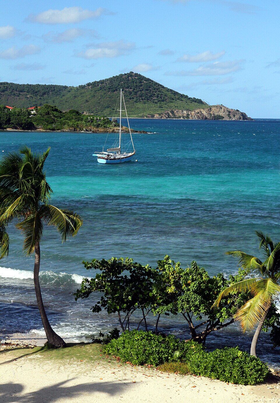
A yacht at anchor off Sapphire Beach, seen from the resort in November 2024: palms and sea grapes along the sand Photo: anoldent, CC BY-SA 2.0
On the sand
Sapphire Beach BarFish tacos, burgers, frozen drinks; 10 am–8 pm daily, happy hour 4–6, live music Sundays 3–6, a Full Moon Party every month.
Paradise PiePizza, wings and salads to eat on the sand or carry away; 10 am–8 pm daily.
The Beach BuzzCoffee, breakfast sandwiches, snacks and ice cream; 7 am–2 pm daily, food until noon.
Upstairs and nearby
SeaSaltSeafood dinners over the bay, 5–10 pm daily; Saturday brunch 10 am–2 pm; golden hour at the bar 5–6.
Red HookThe East End's harbour village, under a mile south: bars, restaurants and a grocery by the ferry docks.
Weather & sea
Sapphire Beach weather and the best time to go
Warm all year: highs in the mid-80s °F in winter and around 90 °F in late summer, with short tropical showers rather than all-day rain. December to April is the dry season and the heart of the winter visitor season.
Sapphire faces east, straight into the trade wind. That is why the water is often at its calmest early in the morning, why the chop builds as the wind picks up through the day, and why, when there is sargassum drifting off the East End, it can come ashore here. The call at the top of the page reads the swell, the wind and the seaweed every half hour, and the live camera shows the water before you go.
The next 7 days on St. Thomas
Day
Sky
High / low
Rain
Wind
Seas offshore
Today
Thunderstorms
84° / 78°F
99%
SW 19 mph, gusts 28
3 ft
Tomorrow
Thunderstorms
82° / 79°F
82%
WSW 19 mph, gusts 28
3.4 ft
Sun, Nov 8
Drizzle
83° / 80°F
39%
WSW 13 mph
3 ft
Mon, Nov 9
Drizzle
83° / 81°F
25%
NNW 5 mph
2.2 ft
Tue, Nov 10
Drizzle
83° / 79°F
35%
NE 11 mph
2 ft
Wed, Nov 11
Overcast
83° / 81°F
43%
ENE 11 mph, gusts 17
2.2 ft
Thu, Nov 12
Drizzle
84° / 81°F
24%
ESE 12 mph
2.1 ft
Open-Meteo forecast for St. Thomas, refreshed every half hour. The seas are offshore; how much of it reaches the sand is the call above. NWS alerts & marine forecast · North swell season
Sea temperature by month
80°Jan
80°Feb
80°Mar
81°Apr
83°May
85°Jun
85°Jul
85°Aug
86°Sep
86°Oct
84°Nov
82°Dec
Daily-mean sea-surface temperature off St. Thomas, averaged 2021–2024 (Open-Meteo marine reanalysis): warmest in Sep (86.4°F), coolest in Feb (79.8°F).
Cruise crowds
Cruise ships and the crowd at Sapphire Beach
Sapphire is across the island from the cruise docks, and it is on the excursion lists: Carnival, for one, sells a Sapphire Beach snorkel trip of about three and a half hours, with roughly two and a half on the beach and a lounge chair and snorkel gear included. Our crowd model sends it a much smaller share of each ship than Magens Bay, but on a big ship day the excursion crowd shows here too, from late morning into the afternoon.
25 of the next 31 days have a ship in Charlotte Amalie. The busiest at Sapphire Beach, by our model:
Wed, Nov 11 — 3 ships, 14,555 guests in port. Busy: ~950 expected here, 9 am–4 pm
Thu, Nov 12 — 4 ships, 17,041 guests in port. Packed: ~1,400 expected here, 9 am–4 pm
Tue, Nov 17 — 4 ships, 15,246 guests in port. Busy: ~1,100 expected here, 9 am–4 pm
Thu, Nov 19 — 3 ships, 12,871 guests in port. Busy: ~900 expected here, 9 am–6 pm
Wed, Nov 25 — 4 ships, 17,831 guests in port. Busy: ~950 expected here, 9 am–5 pm
Wed, Dec 2 — 5 ships, 19,835 guests in port. Packed: ~1,300 expected here, 10 am–6 pm
Our crowd model, not a head count: it puts about 8% of each ship's passengers on Sapphire Beach, starting about 75 minutes after the ship is alongside and gone 90 minutes before it sails; past 1,200 on the sand we call it packed. The same model makes the call at the top of the page and on our beach report.
Yes. The resort streams a live camera over the beach and the bay on YouTube, and it plays on our St. Thomas webcams page. Because the bay faces the trade winds, it is a good first look at the water on the East End: whether the wind has whipped up a chop, and whether sargassum has come in.
Sapphire Beach Resort is begun as a commercially owned hotel. The company building it goes out of business before it is finished; the property is divided and sold as vacation condominiums, run by an owners' association, as it still is.
August 15, 1999
A beach party
The second annual Heineken Summer Beach Party is held on Sapphire Beach on a Sunday afternoon, from 2 to 6 pm, with two island radio stations broadcasting live from the sand.
2001
The beachfront building
Beachside Associates, Dean Morehouse's company, takes over the Seagrape building on the beach, where SeaSalt is today.
Summer 2016
Sapphire Beach Bar opens
The beach bar opens on the sand, with fish tacos, burgers and frozen drinks; today it also has Sunday live music and a monthly Full Moon Party.
2019–2020
The rooftop permit
Plans go to Coastal Zone Management to replace the Seagrape building's rooftop canopies and add an 'activity deck'; the permit is approved by mid-2020.
June 2023
SeaSalt and the permit
SeaSalt is open on the building's second floor. DPNR finds that the work went beyond the permit, fines the owners $6,000 and has them apply for a modification; the commissioner says DPNR will not seek to close the restaurant.
The bay faces the trade wind, so it is usually calmest early in the morning, before the breeze fills in. Sapphire also faces the sunrise, over the water toward St. John.
No lifeguards
We could not find a lifeguard service at Sapphire. Snorkel with a buddy, stay on the beach side of Pettyklip Point and keep clear of boats coming in and out of the marina.
Check the water first
The live camera and the call at the top of the page show the chop and any sargassum before you go. DPNR samples the water here most weeks; its weekly beach advisory, published in the island papers, says whether the beach met the standard.
Reef-safe sunscreen is the law
The U.S. Virgin Islands ban sunscreens with oxybenzone, octinoxate or octocrylene. Bring a mineral (zinc or titanium) one.
Sundays are lively
The bar has live music on Sunday afternoons from 3 to 6, and a Full Moon Party once a month. For a quiet beach, come on a weekday morning.
A swim before the ferry
Red Hook's ferry docks are under a mile away. With an hour to spare before a boat to St. John or the BVI, Sapphire is the nearest swim — keep an eye on the clock and on your bags.
Yes. There is no gate and no entry fee. Under the Virgin Islands' Open Shorelines Act the shoreline is public — the sand from the low-tide line inland 50 feet, or to the vegetation line if that is shorter — even in front of the resort. You pay only for what you rent or buy: a chaise lounge is $15 a day and a cabana $275, from Naia Boutique on the beach.
How much is a taxi to Sapphire Beach?
Taxis charge fixed per-person fares set by the VI Taxicab Commission. From Charlotte Amalie it is $21 for one rider, $15 each for two or more; from the airport $23 for one rider, $17 each for two or more; from Magens Bay $18 for one rider, $14 each for two or more. Night, luggage and waiting surcharges apply, and the tariff has no fare from the cruise docks to Sapphire, so agree the price first.
How far is Sapphire Beach from Charlotte Amalie and the airport?
It is on the East End, across the island from the cruise docks: about 22 minutes (12.3 km) by road from Charlotte Amalie, and 32 minutes (16.7 km) from the airport. The Red Hook ferry dock is under a mile away.
Is Sapphire Beach good for snorkeling?
Yes, along the rocks and reef of Pettyklip Point at the south-east end of the beach; the middle of the bay is sand. Masks and snorkels rent on the beach for $15 a day. Stay on the beach side of the point, where the marina's boats do not run, and go in the morning, before the trade wind stirs the water.
Is there a Sapphire Beach webcam?
Yes. The resort streams a live camera over the beach and the bay on YouTube, and it plays on VIslandGuide's St. Thomas webcams page. It is a good first look at the chop and at any sargassum on the East End.
Does Sapphire Beach have lifeguards?
We could not find any lifeguard service at Sapphire Beach. Swim and snorkel with a buddy, stay inside the bay, and keep clear of boats going in and out of the marina round Pettyklip Point.
Can you rent chairs and snorkel gear at Sapphire Beach?
Yes, from Naia Boutique, the Sapphire Beach Club's shop on the sand: a chaise lounge is $15 a day, a cabana $275 for the day (9 am to 5 pm) or $50 an hour with a two-hour minimum, a mask and snorkel set $15 a day and a snorkel board $15 for two hours, as listed in October 2026.
Where do you eat at Sapphire Beach?
On the sand: Sapphire Beach Bar (10 am to 8 pm daily, happy hour 4 to 6), Paradise Pie for pizza (10 am to 8 pm) and The Beach Buzz for coffee and breakfast (7 am to 2 pm). SeaSalt serves dinner upstairs from 5 to 10 pm, with brunch on Saturdays from 10 to 2. All are open to the public.
When is the Sapphire Beach Full Moon Party?
Once a month, on the full moon: Sapphire Beach Bar holds it on the beach with a DJ from 7 to 11 pm, Moko Jumbies and fire dancers. Cabanas for the night are $500. The bar also has live music every Sunday from 3 to 6 pm.
Is Sapphire Beach crowded?
It is a resort beach and a cruise-excursion stop, so it is busiest on Sundays, when the bar has live music, and on big ship days from late morning into the afternoon — though our crowd model sends it a much smaller share of each ship than Magens Bay. Weekday mornings are quiet. The call at the top of this page reads each day's ships.
Who owns Sapphire Beach?
The land behind the sand belongs to Sapphire Beach Resort and Marina, a privately owned condominium resort, and the beachfront building to its owners, but the shoreline itself is public under the Virgin Islands' Open Shorelines Act: anyone may use the sand and the water, and no one may block them.
Is the water clean at Sapphire Beach?
Sapphire is one of the 23 beaches the Department of Planning and Natural Resources samples for bacteria most weeks; in the week of October 5 to 9, 2026 it met the standard. DPNR advises staying out of water that is discoloured, smells, or has run-off or heavy sargassum in it.
Photo & map credits
Sapphire Beach looking out past Pettyklip Point: Shark Island on the left, St. John across the water, and the resort's red roofs among the palms on the right (November 2014) — PunctuatedArt, CC0, via Wikimedia Commons (resized).
From the water's edge at Sapphire Beach: a yacht moored in the bay and the cays on the horizon (November 2014) — PunctuatedArt, CC0, via Wikimedia Commons (resized).
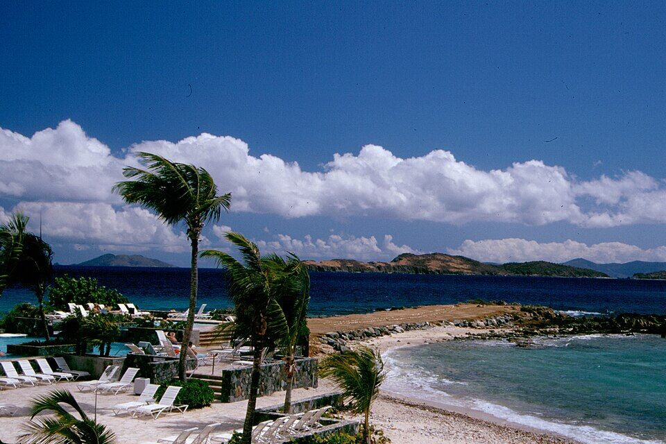
Pettyklip Point, the rocky spit at the south-east end of the beach, from the resort's pool deck (an older photo) — Koichi Shibata, CC BY-SA 3.0, via Wikimedia Commons (resized).
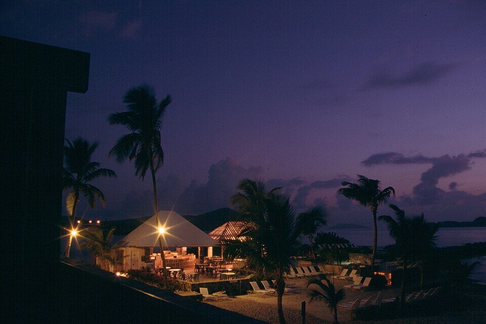
Evening on the beachfront below the resort: a restaurant deck, palms and loungers on the sand (an older photo; the venues have changed since) — Koichi Shibata, CC BY-SA 3.0, via Wikimedia Commons (resized).
A yacht at anchor off Sapphire Beach, seen from the resort in November 2024: palms and sea grapes along the sand — anoldent, CC BY-SA 2.0, via Wikimedia Commons (resized).
The red-roofed condominiums behind Sapphire Beach from the hill above, with the islands to the east on the horizon (November 2014) — PunctuatedArt, CC0, via Wikimedia Commons (resized).
From the hill above the bay: the road down, a parking lot and the red roofs of the resort, with the water beyond (November 2014) — PunctuatedArt, CC0, via Wikimedia Commons (resized).
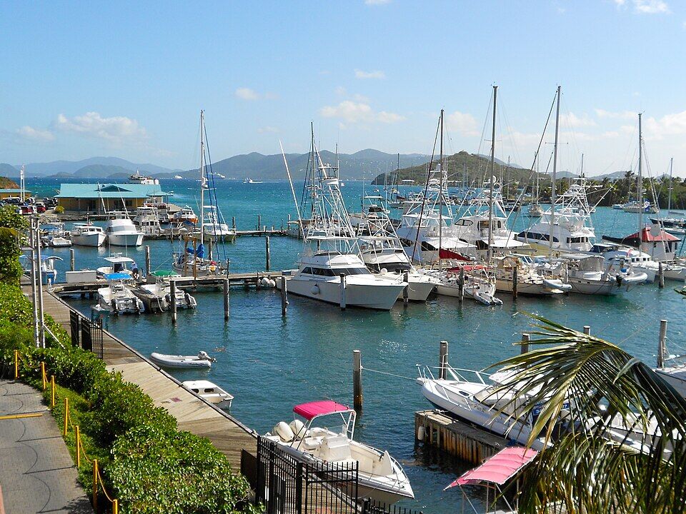
The harbour at Red Hook, under a mile south: sport-fishing boats in the marina and the hills of St. John beyond (December 2011) — Smallbones, CC0, via Wikimedia Commons (resized).
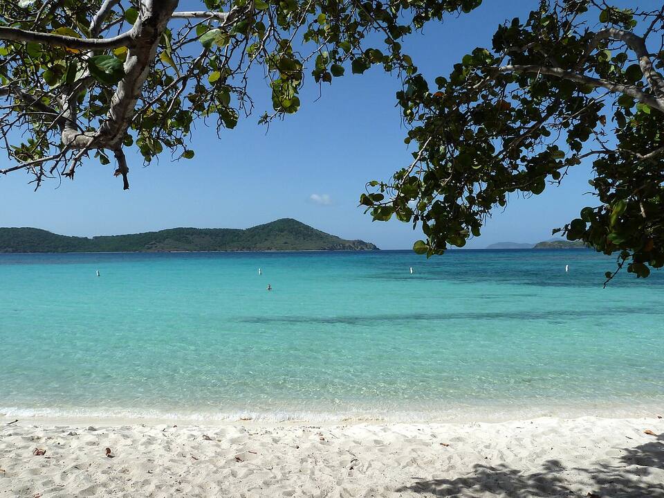
Lindquist Beach in Smith Bay Park, the next beach to the north-west (August 2013) — Gruepig, CC BY-SA 4.0, via Wikimedia Commons (resized).
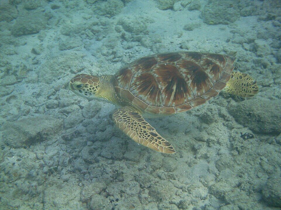
A green sea turtle over the reef in Leinster Bay, on St. John's north shore, in Virgin Islands National Park (December 2013) — Gruepig, CC BY-SA 3.0, via Wikimedia Commons (resized).
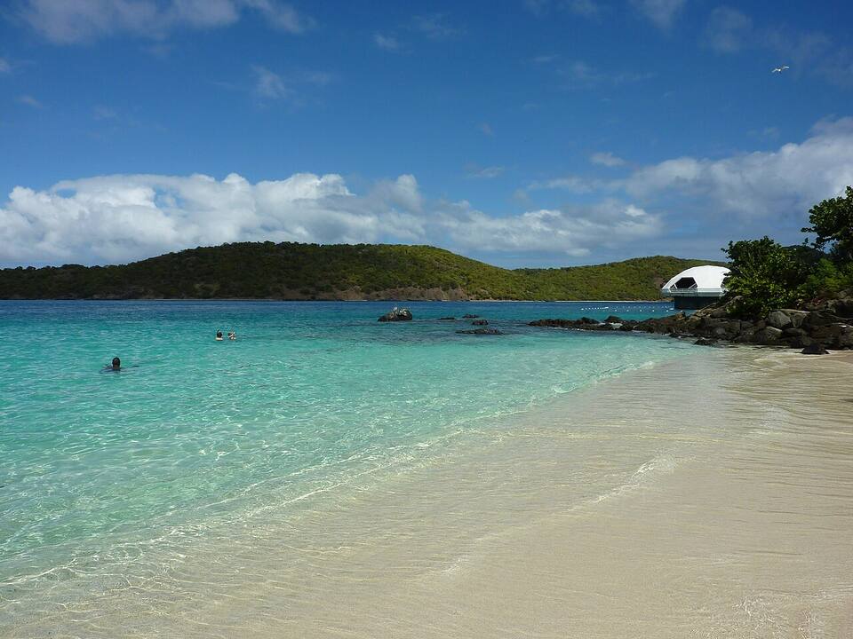
Coki Beach, looking out to Thatch Cay, with the Coral World observatory on the point — Gruepig, CC BY-SA 3.0, via Wikimedia Commons (resized).
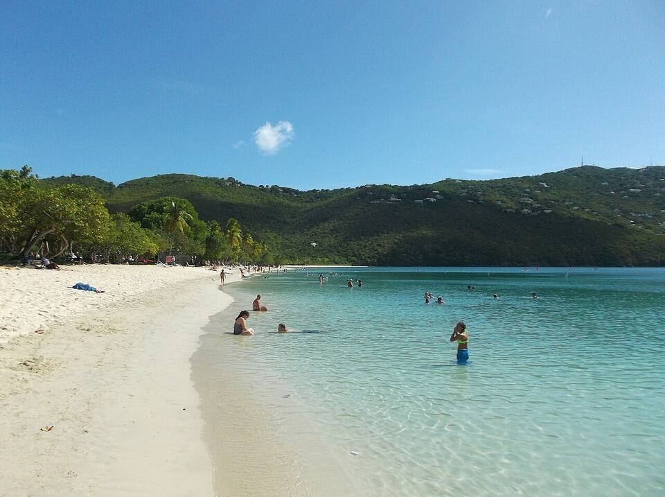
The sand and shallow, calm water at Magens Bay — socaltraveler, CC BY-SA 3.0, via Wikimedia Commons (resized).
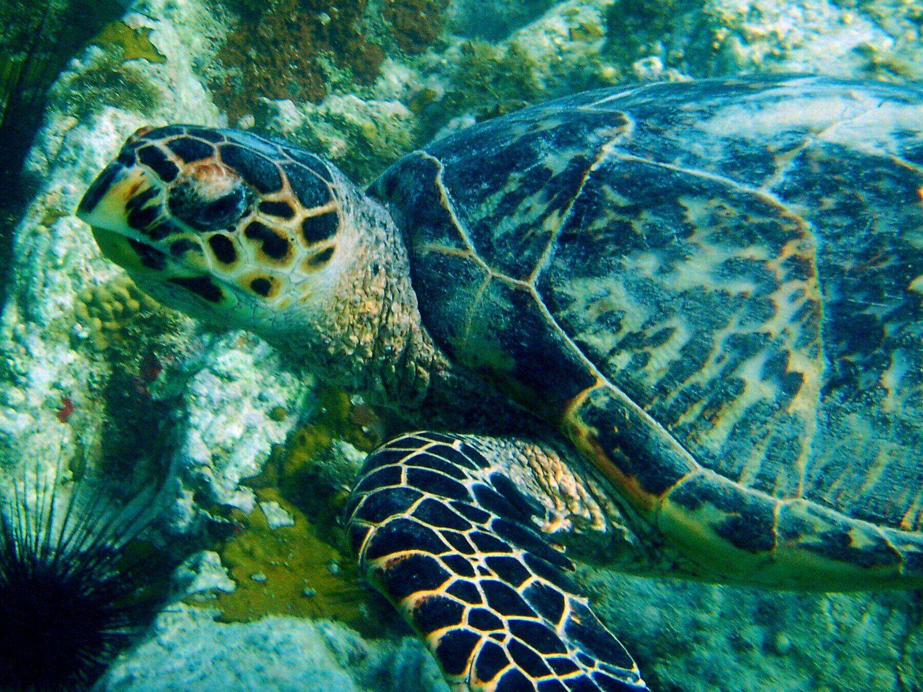
An adult hawksbill turtle over the rocks and coral at Secret Harbor, with a long-spined sea urchin in the corner (2004) — Becky A. Dayhuff, Environmental Educator, NOAA, Public domain, via Wikimedia Commons (resized).
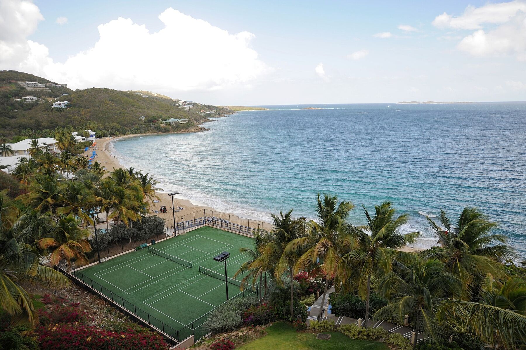
Morningstar Beach from the Frenchman's Reef bluff in May 2009, looking east along the sand: the tennis courts below, palms and beach umbrellas, the headland at the far end and the open sea to the south — Fred Hsu, CC BY-SA 3.0, via Wikimedia Commons (resized).
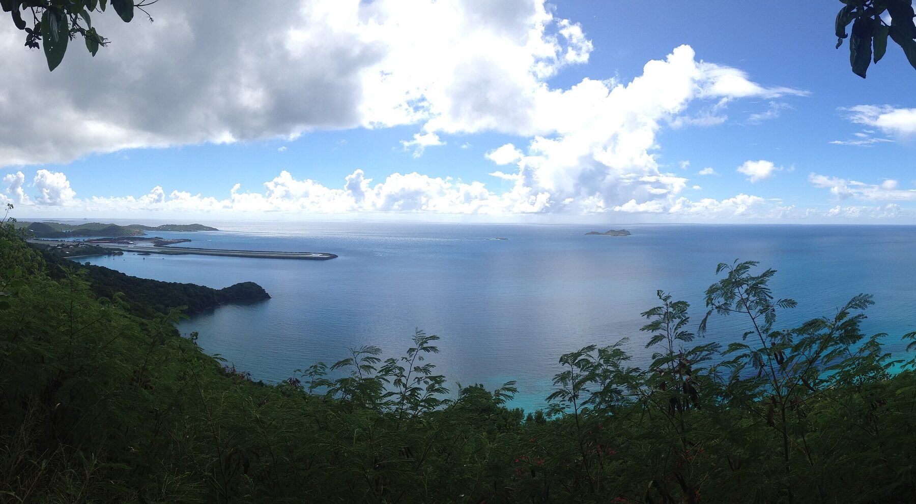
Brewers Bay from the hillside above its north shore in September 2013: the calm bay below, a wooded point, and beyond it the airport runway reaching out into the sea (cropped from a panorama) — Kberg115, CC BY-SA 3.0, via Wikimedia Commons (cropped and resized).
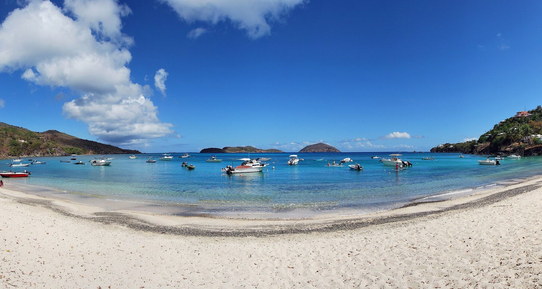
Hull Bay from the sand: the curve of the beach, small boats on their moorings and the cays offshore on the horizon (July 2015, cropped from a panorama) — Matt H. Wade, CC BY-SA 4.0, via Wikimedia Commons (cropped and resized).
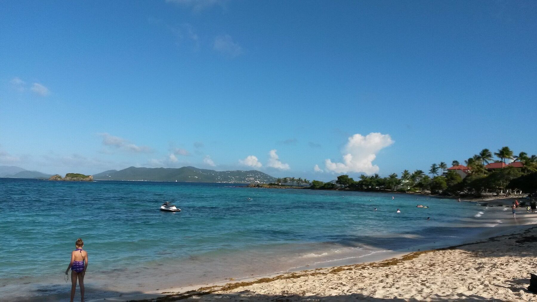
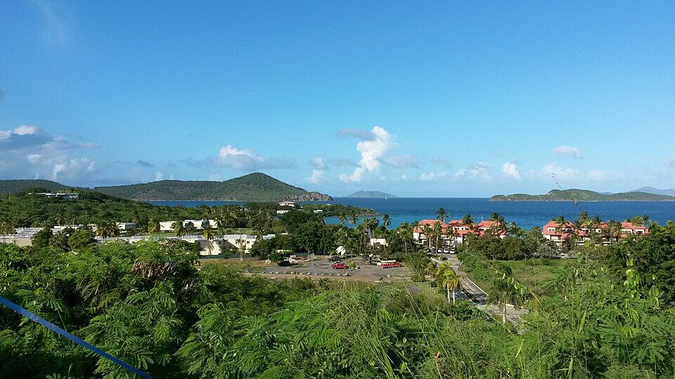
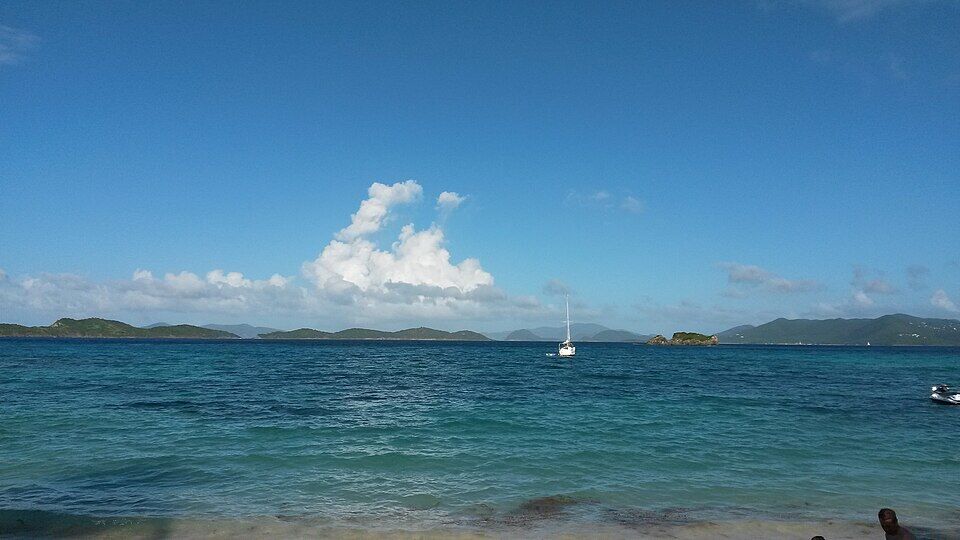 Photo: PunctuatedArt, CC0
 Skip today today
 Good today
 Skip today today
 Skip today today
 Skip today today