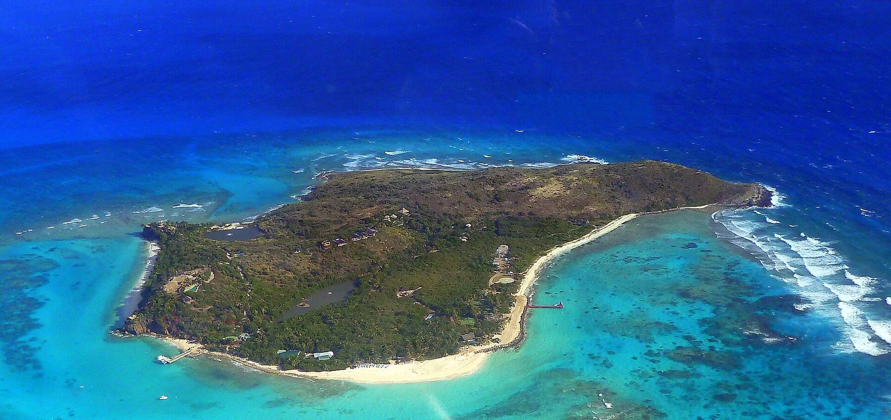
Deadman's Bay on Peter Island from the hillside: palms and loungers along the sand, turquoise shallows and a dinghy pulled up on the beach
British Virgin Islands

Peter Island, British Virgin Islands

A private island of about 1,800 acres on the south side of the Sir Francis Drake Channel, a half-hour boat ride from Road Town. Most of it is dry, empty hillside; at its north-east end the rebuilt Peter Island Resort lines Deadman's Bay, and its yacht club fills Sprat Bay. Sailors come for the quiet anchorages, Dead Chest Island and the Rhone just along the channel.

Photo: Joe Shlabotnik, CC BY 2.0
At a glance

Peter Island in ten facts

Territory
British Virgin Islands — a British Overseas Territory
Size
About 1,800 acres (720 ha, roughly 2.8 sq mi)
Owner
Private — owned by the Van Andel family, co-owners of Amway, since 2001
People
No town or village; the resort and its yacht club are the only settlement
Where
Across the Sir Francis Drake Channel from Tortola, about 5 miles south-west of Road Town, between Norman Island and Salt Island
The resort
Peter Island Resort, on Deadman's Bay — closed after Hurricane Irma in 2017, reopened in December 2024
Getting there
By boat only: the resort's own ferry from a launch just outside Road Town, a water taxi or your own boat
Anchorages
Sprat Bay (the yacht club), Deadman's Bay, Great Harbour, Little Harbour, White Bay and Key Bay
Clock
Atlantic Standard Time (UTC−4) all year — no daylight saving
Money & ID
U.S. dollar. A passport is needed from the U.S. Virgin Islands — your boat clears BVI customs first
Plan with VIslandGuide

Every Peter Island tool on VIslandGuide

Live schedules, official fares, today's beach and weather reads, cameras and maps — each one opens the full page.

Day charters to Peter IslandAsk for a captained day trip from Tortola, St. Thomas or St. John and compare quotes.BVI sailing: the chart tableThe week's wind and swell, and every anchorage and mooring — Peter Island's among them.Mooring fieldsEvery BVI mooring field, the dive balls on the Willy T wreck in Key Bay included.7-day BVI charter plannerA curated bareboat week out of Tortola, with Peter Island's bays on the list.Dive & snorkel sitesThe RMS Rhone and the Virgin Islands' other dive sites, with today's call for each.Deadman's Bay beach guideThe resort's long beach at the island's north-east end.White Bay beach guideThe quiet beach on the south side, facing Norman Island.BVI customs & entry feesPorts of entry, hours and what a crossing from the USVI costs in fees.Do you need a passport?Why a day trip from St. Thomas to the BVI needs one, and what else to bring.What a BVI yacht charter costsBareboat and crewed weeks, and the fees on top.Flights at Beef Island (EIS)Tortola's airport, the way in for most resort guests.Tortola taxi faresThe official fares from the airport and the ferry docks to Road Town.BVI weatherHourly and 7-day forecasts, the sailing week and the marine zones.Tortola island guideRoad Town and the charter bases across the channel.Norman Island guideThe Bight, the Caves and the Indians, just to the west.Cooper Island guideThe beach club on Manchioneel Bay, past Salt Island to the east.Hurricane history mapEvery major hurricane that crossed the islands since 1851 — the Rhone's storm of 1867 among them.
Map

Map of Peter Island

Tortola and Road Town ↑ across the channelGreat HarbourLittle HarbourKey BayBig Reef BaySir Francis Drake ChannelCaribbean SeaSalt Island & the Rhone →Norman Island1Deadman's Bay2White BaySprat Bay dockPeter Island Yacht Club — the resort ferry lands hereDead ChestUninhabited National Park islet — snorkel & diveWilly T wreckThe old floating bar, sunk as a reef in Key Bay
Dock & pierSightSnorkel & dive

Peter Island drawn from the OpenStreetMap shoreline: Sprat Bay and the resort at the north-east end, Great Harbour and Little Harbour along the north shore, White Bay and Key Bay to the south, and Dead Chest off Deadman's Bay. Tap a pin for more.

  1. 1Deadman's Bay
  2. 2White Bay
Getting there

How to get to Peter Island

Peter Island has no airport and no public ferry dock: everyone arrives by boat. Resort guests fly into Beef Island (EIS) on Tortola, take a taxi of about 20 minutes to the resort's ferry launch just outside Road Town, and cross on the resort's own ferry — about half an hour to the dock in Sprat Bay. The resort arranges it with the booking; whether the ferry takes non-guests, and when it runs, is the resort's call, so ask before you plan on it. There is no Peter Island route in the public ferry timetables.

Sailors pick up a mooring in one of the bays or take a slip at the Peter Island Yacht Club in Sprat Bay. From the U.S. Virgin Islands it is an international trip: Peter Island is not a port of entry, so your boat first clears BVI customs at West End or Road Town on Tortola, or at Great Harbour on Jost Van Dyke, and every passenger needs a passport. A private water taxi from Red Hook on St. Thomas takes a little over an hour.

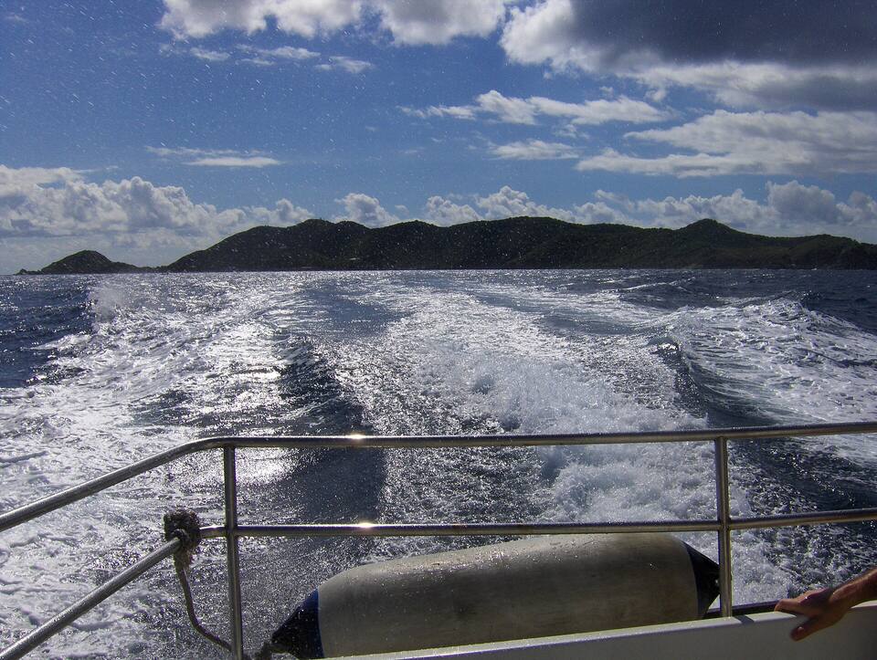
Looking back at Peter Island over the wake of the boat to Tortola
Looking back at Peter Island over the wake of the boat to Tortola Photo: Joe Shlabotnik, CC BY 2.0
  • Book the ferry transfer with your room — the resort sets the times, and the launch is not one of Tortola's public ferry terminals.
  • Coming from St. Thomas or St. John? Bring a passport, and ask whether a water-taxi or charter price includes the BVI entry fees.
  • Sailing in? Moorings at Sprat Bay and Deadman's Bay are the yacht club's; ask what a ball or slip includes — the yacht club offers access to its pool, courts and restaurant as an add-on to a berth.
  • Peter Island is private land. Do not land at a beach or walk the roads without checking with the resort first.

Flights at Beef Island (EIS) · Tortola taxi fares · Request a day charter · BVI customs & entry fees · BVI sailing: the chart table · Mooring fields

Getting around

Getting around Peter Island

There are no public roads, no taxis and no car rental. The resort's roads link the yacht club in Sprat Bay, Deadman's Bay and the beaches on the far side of the island, and guests are driven around by the resort. Boaters go by dinghy: Sprat Bay and Deadman's Bay sit side by side, and Great Harbour and Little Harbour are a short run west along the north shore.

The hills are steep, dry and mostly empty. Trails and tracks cross them, but they are on private land and kept for the resort's guests — ask at the resort before you walk.

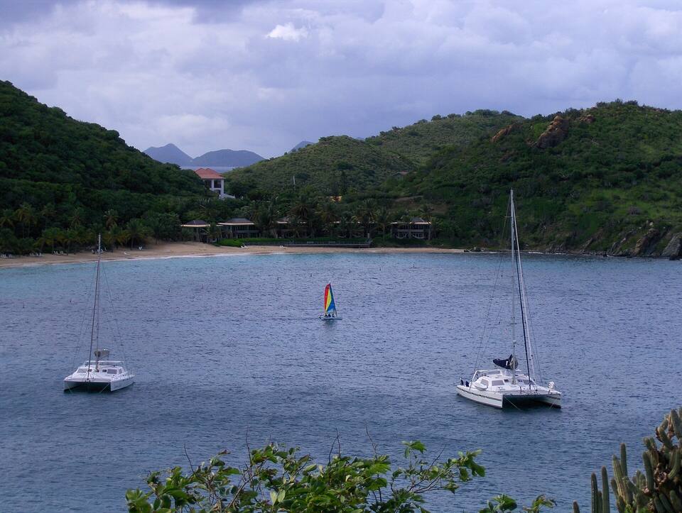
Two catamarans and a small sailboat on moorings off Deadman's Beach, with the beach and the hills of Peter Island behind
Two catamarans and a small sailboat on moorings off Deadman's Beach, with the beach and the hills of Peter Island behind Photo: Joe Shlabotnik, CC BY 2.0
Beaches

The best beaches on Peter Island

The resort lists five beaches: Deadman's Beach and Little Deadman's on Deadman's Bay, White Bay on the south side, Honeymoon Beach and Big Reef Bay. Deadman's is the one boaters see; the others are reached by the resort's roads or by dinghy, and several are kept for guests. Numbers match the map. For which one is calm and uncrowded today, open the beach report.

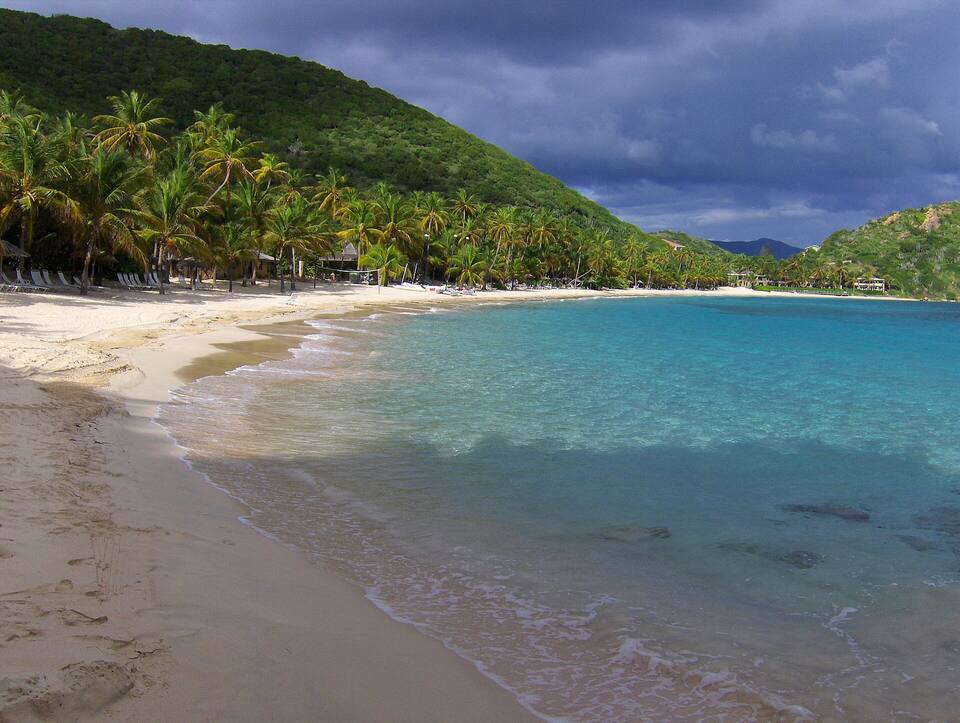
Deadman's Beach, Peter Island: a crescent of sand under coconut palms and green hills, with clear shallow waterPhoto: Joe Shlabotnik, CC BY 2.0
1

Deadman's Bay

Long walk on sandCalm waterResort beach

The long, palm-lined beach at Peter Island's north-east end, with the rebuilt resort along it and Dead Chest Island just offshore. The bay is sheltered in the usual trade wind, though a strong easterly sends a chop in. Snorkel the rocks at either end, or out towards Dead Chest.

2
2

White Bay

QuietSnorkeling at the endsAnchorage

A curve of sand on the west side of the island's southern half, facing Norman Island across the water. It is a resort beach with cabanas for guests, reached by a track over the hill; boaters see it from a mooring off the beach. Snorkel the rocks at both ends.

Things to do

Things to do on Peter Island

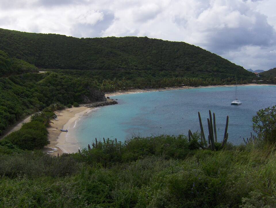
Deadman's Bay from the hill above Sprat Bay: a small beach and the path in front, the long sweep of Deadman's Beach beyond and a catamaran on a mooringPhoto: Joe Shlabotnik, CC BY 2.0
Beach & anchorage

Deadman's Bay

Peter Island's best-known bay: a long beach under palms at the north-east end, the resort along it and Dead Chest Island just offshore. The moorings off the beach belong to the Peter Island Yacht Club. The resort runs its guests' snorkeling out from the beach towards Dead Chest.

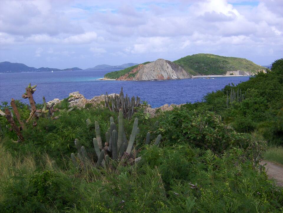
Dead Chest Island seen from Peter Island over cactus and scrub, its pale cliff face to the sea and other islands on the horizonPhoto: Joe Shlabotnik, CC BY 2.0
National Park

Dead Chest Island

The small, uninhabited islet off Deadman's Bay is a BVI National Park, with dive and snorkel sites along its cliffs. It is said to be where Blackbeard marooned his crew with a bottle of rum each — the "fifteen men on a dead man's chest" of Robert Louis Stevenson's Treasure Island — but the story is almost certainly a legend that grew from the book, not the other way round.

Anchorages

Great Harbour and Little Harbour

The two deep bays on the north shore, west of the resort. Great Harbour is the big one, under the long finger of Great Harbour Point, with moorings and room to anchor; Little Harbour, further west, is smaller and quieter. Peter Island is said to be named after Pieter Adriensen, a Dutch privateer who with Joost van Dyk fortified Great Harbour in the early 1600s.

Snorkel & dive

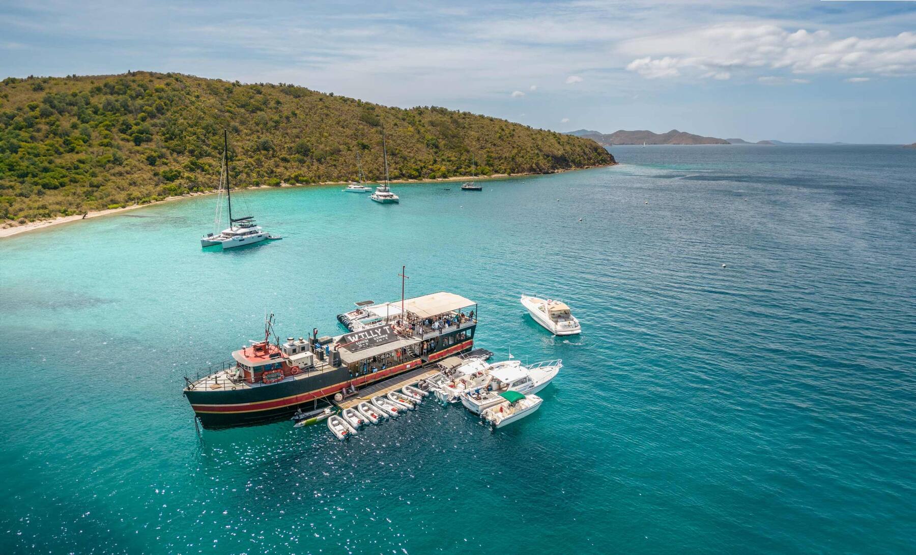
Snorkel the Willy T wreck in Key Bay

The old Willy T — Norman Island's original floating bar, wrecked by Hurricane Irma — was sunk as an artificial reef off Key Bay, on Peter Island's south-west corner, in 2019. Her mast top, about 30 feet down, can be seen by snorkelers on a clear day; divers tie up to the day-use ball. Key Bay is a small anchorage and rolls in any south wind.

Dive

The RMS Rhone, off Salt Island

The BVI's best-known wreck lies off Black Rock Point on Salt Island, the next island east. In the hurricane of 1867 the Royal Mail steamer Rhone, at anchor off Peter Island, ran for open sea and was driven onto the rocks, where she broke in two. The shallow stern is a snorkel; the bow is a dive. National Parks Trust day moorings only.

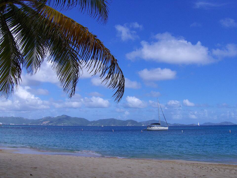
From Deadman's Beach under a palm frond: a yacht at anchor and Tortola across the Sir Francis Drake ChannelPhoto: Joe Shlabotnik, CC BY 2.0
Resort

Stay at Peter Island Resort

The island's resort, first built in the late 1960s, was wrecked by Hurricane Irma in 2017 and reopened in December 2024, rebuilt with its rooms along Deadman's Beach, a spa and the yacht club and marina in Sprat Bay. It has closed for part of the hurricane season — from August into October — so check dates before planning a late-summer stay.

Eat & drink

Where to eat and drink on Peter Island

Everything to eat and drink on Peter Island is the resort's: the restaurant in the lodge on Deadman's Bay and the Drunken Pelican at the yacht club in Sprat Bay. There is no shop for provisioning beyond the yacht club, so stock up on Tortola. Not a resort guest? Check with the resort or the yacht club before you come ashore for a meal — hours and access change with the season.

Sprat Bay & Deadman's Bay

  • Drunken Pelican (Peter Island Yacht Club)The casual restaurant and bar at the Peter Island Yacht Club on Sprat Bay, open for lunch and dinner — the resort's place for boaters.
  • Peter Island Resort RestaurantThe Drake Steakhouse, the resort's main restaurant, in the resort's beachfront lodge on Deadman's Bay: breakfast, lunch and dinner. Not a guest? Ask the resort before you come ashore.
Weather & sea

Peter Island weather and the best time to go

Warm all year: highs in the mid-80s °F and a steady easterly trade wind. Great Harbour, Little Harbour and Sprat Bay are sheltered from the trade-wind swell; Deadman's Bay opens to the east and gets a chop when the wind is up, and the south-side bays roll in a south wind. December to April is the dry, busy sailing season. June to November is hurricane season, with the peak from mid-August to mid-October.

The next 7 days

DaySkyHigh / lowRainWindSeas
TodayThunderstorms86° / 83°F38%E 19 mph3.6 ft
TomorrowShowers85° / 79°F83%E 19 mph, gusts 254.3 ft
Wed, Oct 7Thunderstorms83° / 79°F81%ESE 19 mph, gusts 263.9 ft
Thu, Oct 8Thunderstorms84° / 79°F53%ESE 16 mph3.1 ft
Fri, Oct 9Drizzle84° / 83°F41%E 17 mph, gusts 233.3 ft
Sat, Oct 10Showers83° / 80°F76%ENE 14 mph, gusts 222.7 ft
Sun, Oct 11Drizzle82° / 79°F71%ESE 16 mph, gusts 232.1 ft

Open-Meteo forecast for Peter Island, refreshed every half hour. Live weather map · BVI sailing weather & marine zones

Sea temperature by month

Peter Island has no reading of its own; these are the waters off Tortola, across the channel. Daily-mean sea-surface temperature, averaged 2021–2024 (Open-Meteo marine reanalysis): warmest in Sep (86.3°F), coolest in Feb (79.3°F). Hurricane history map

Good to know

Peter Island travel tips

It is a private island

Peter Island belongs to the resort's owners. Boaters are welcome on the moorings and at the yacht club, but check with the resort before landing on a beach or walking inland.

Passport from the USVI

Coming from St. Thomas or St. John, every passenger needs a passport and the boat clears BVI customs at a port of entry — Peter Island is not one.

Book the ferry with the room

The resort's ferry runs from its own launch outside Road Town, on its own schedule. It is not in the public ferry timetables, so arrange it with the resort.

Pick your bay for the wind

In the usual easterly, Great Harbour and Little Harbour are the calm nights; Deadman's Bay is lovely by day but open to the east, and Key Bay and White Bay roll in any southerly swell.

Provision on Tortola

Beyond the yacht club there is nothing to buy on the island. Road Town's supermarkets are half an hour away by boat.

Mind the reef

Use the moorings rather than anchoring on coral, keep fins up in the shallows, and do not touch or stand on the reef at Dead Chest or the wreck.

Island hopping

Explore the other islands

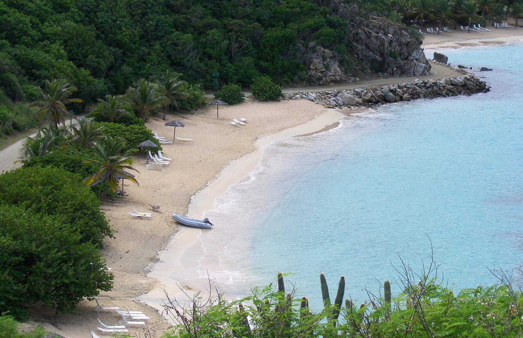
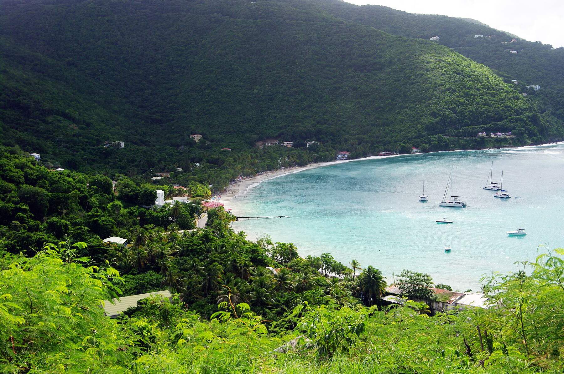
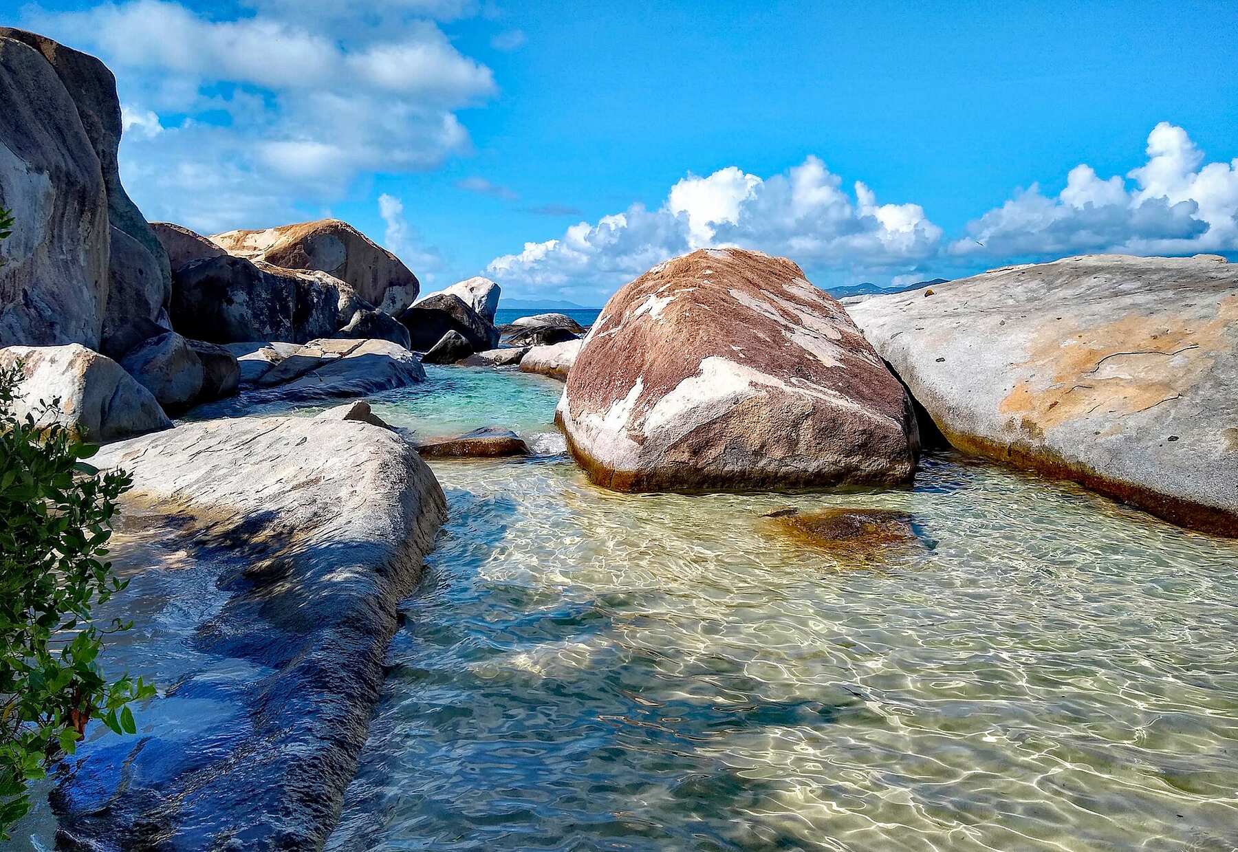
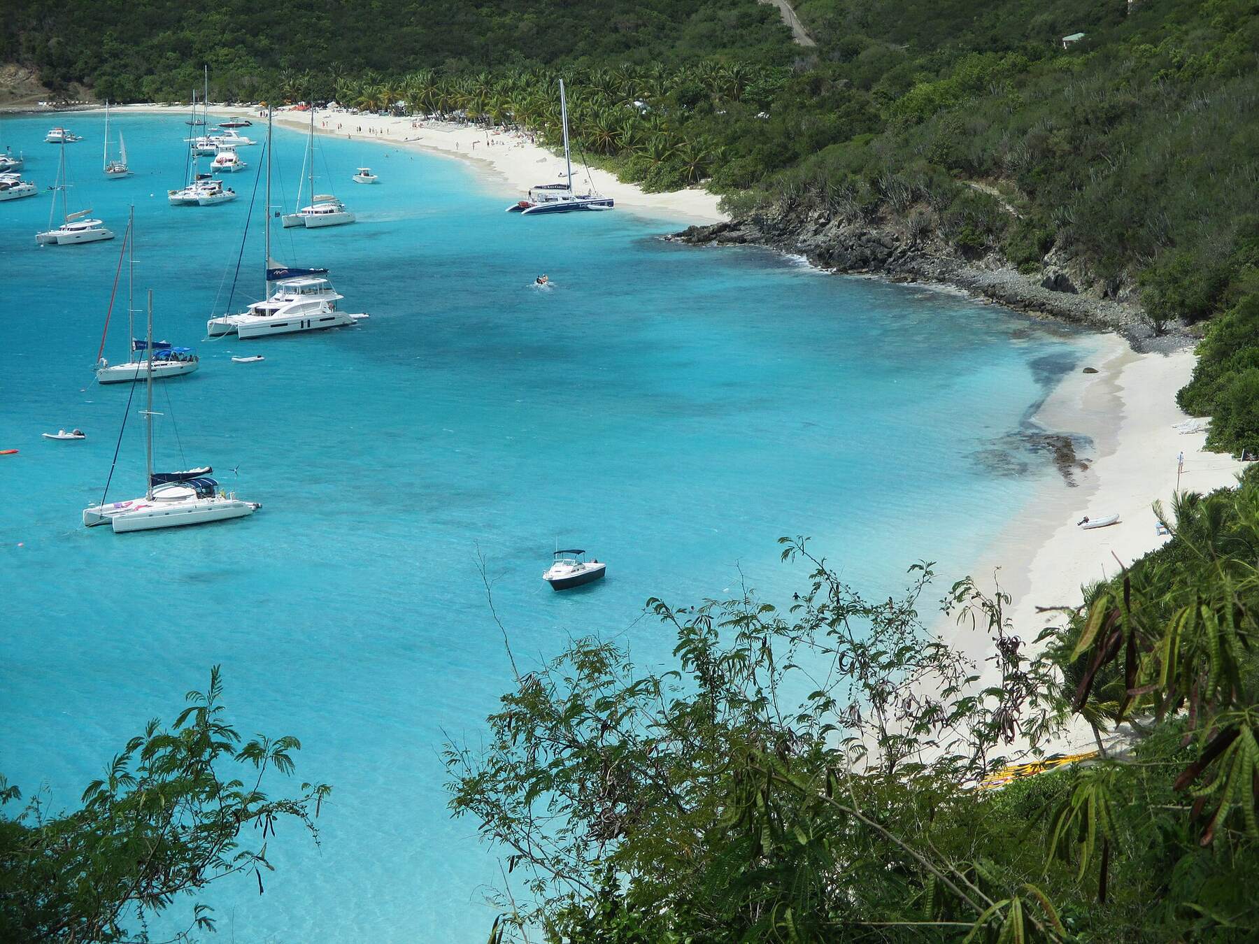
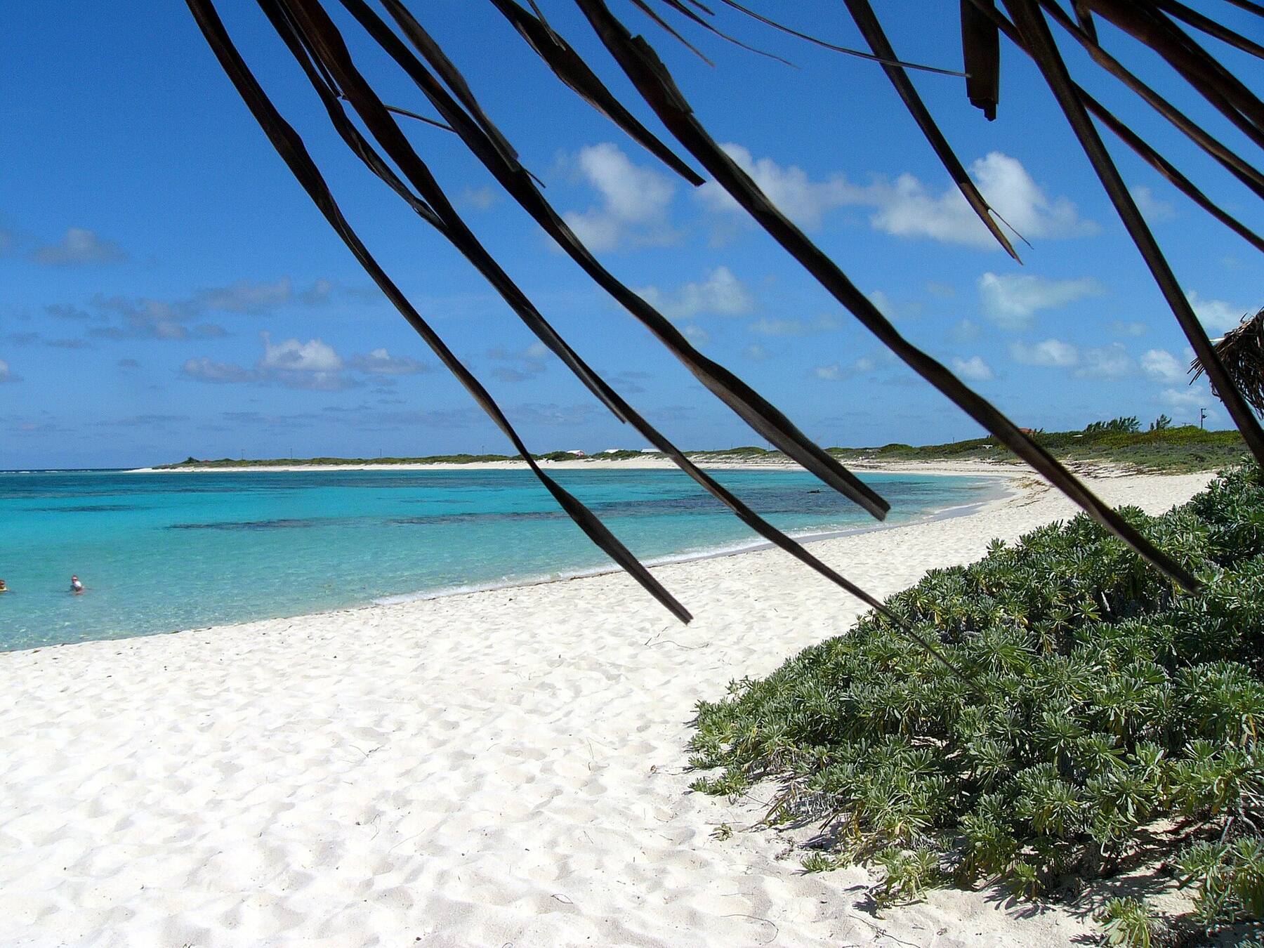
Magens Bay from the hills above: the long white beach at the head of a sheltered bay on the north shore of St. ThomasU.S. Virgin IslandsSt. ThomasThe airport, the cruise docks, the Red Hook ferries, taxi fares and the best beaches on a true map of St. Thomas — with today's weather and the next boat to St. John.Trunk Bay, St. John, seen from the North Shore Road overlook — white sand, turquoise water and Trunk CayU.S. Virgin IslandsSt. JohnFerries, taxis, beaches, hikes and a true map of St. John — two-thirds national park — with today's weather and the next boat from Red Hook.St. Croix's East End from the air: green hills and reef-ringed headlands at Point Udall, the north shore running west into the distanceU.S. Virgin IslandsSt. CroixGetting from St. Thomas to St. Croix by seaplane or ferry, the airport, taxi fares, Buck Island, Christiansted, Frederiksted and every main beach on a true map.Water Island's hills and bays seen from Fort Segarra, with St. Thomas across the water behindU.S. Virgin IslandsWater IslandThe ferry from Crown Bay, Honeymoon Beach, Fort Segarra and a true map of the smallest U.S. Virgin Island, with today's weather and the next boat.Lovango's Beach Club from above: the infinity pool, rows of blue umbrellas on the sand and the clubhouse, with yachts at anchor and the islands across Pillsbury SoundU.S. Virgin IslandsLovango CayHow to reach Lovango Cay from St. Thomas or St. John, who can visit, the Beach Club and Crescent Beach, the snorkeling at Congo Cay and Carval Rock, and a true map.Cane Garden Bay from the hillside above it: the curve of sand, yachts at anchor and the green north-shore hillsBritish Virgin IslandsTortolaFerries, taxis, beaches and a true map of Tortola — the BVI's capital island and charter base — with today's weather and the next boat from St. Thomas.The Baths, Virgin Gorda: granite boulders around a clear tidal pool under a blue skyBritish Virgin IslandsVirgin GordaThe Baths, Spring Bay, Savannah Bay and North Sound on a true map, with the next ferry from Road Town, the official taxi fares and today's weather.White Bay, Jost Van Dyke, from the hillside: yachts on their moorings over turquoise water and a long strip of white sandBritish Virgin IslandsJost Van DykeHow to get to Jost Van Dyke, what the taxis cost, White Bay and the Soggy Dollar, Foxy's in Great Harbour, the Bubbly Pool and Sandy Spit — with today's weather and the next boat.Loblolly Bay, Anegada: white sand curving away along the north shore, turquoise water over the reef and palm fronds overheadBritish Virgin IslandsAnegadaThe flat coral island at the top of the BVI: how to get there, what the taxis cost, Loblolly Bay, Cow Wreck Beach, the flamingo ponds, Horseshoe Reef and lobster on the beach — with today's weather.The Willy T, Norman Island's floating bar, moored in the Bight with dinghies tied alongside and yachts on the moorings beyondBritish Virgin IslandsNorman IslandThe boat-only island: day sails and charters from St. Thomas, St. John and Tortola, the Caves at Treasure Point, the Indians, the Bight and its floating bar.Cooper Island from the air, its green hills and sandy shore ringed by reef, with Salt Island and Peter Island beyond and Tortola across the channelBritish Virgin IslandsCooper IslandThe boat-only island across the channel from Tortola: the beach club and its moorings on Manchioneel Bay, Cistern Point, Wreck Alley and the RMS Rhone next door.From the air: Marina Cay on its reef in front, Scrub Island with the resort and marina on the right, Great Camanoe on the left and yachts on the moorings betweenBritish Virgin IslandsScrub IslandThe private resort island off Tortola's east end: how the launch from Trellis Bay works, the 55-slip marina, three small beaches, Marina Cay and the live marina cam.Necker Island from the air: the wooded island ringed by reef, the long beach and the guests' jetty on its south-east side, and the open Atlantic beyondBritish Virgin IslandsNecker IslandBranson's private island off Virgin Gorda: no public landing and no day visit. How guests arrive, the Celebration Weeks, Moskito Island, and North Sound next door.

Peter Island FAQ

How do you get to Peter Island?

By boat only. Resort guests fly into Beef Island (EIS) on Tortola, take a taxi of about 20 minutes to the resort's ferry launch just outside Road Town, and cross on the resort's ferry in about half an hour; the resort arranges it. Sailors pick up a mooring or take a slip at the Peter Island Yacht Club in Sprat Bay. Private water taxis also run from Red Hook on St. Thomas, a little over an hour.

Is there a public ferry to Peter Island?

There is no Peter Island route in the Virgin Islands' public ferry timetables. The resort runs its own ferry from Tortola for its guests; ask the resort whether it can take non-guests, and when it sails.

Is Peter Island Resort open?

Yes. The resort closed after Hurricane Irma in 2017 and reopened in December 2024, rebuilt with its rooms along Deadman's Beach and a new yacht club and marina in Sprat Bay. It has closed for part of the hurricane season, from August into October, so check dates for a late-summer trip.

Can you visit Peter Island for the day?

By boat, yes: the bays and moorings are open to boaters, and the Peter Island Yacht Club in Sprat Bay has slips, moorings and the Drunken Pelican restaurant. The island itself is private, so check with the resort or the yacht club what is open to non-guests before you go ashore.

Who owns Peter Island?

The Van Andel family, co-owners of Amway, who took full ownership in 2001. A Norwegian, Torolf Smedvig, bought the island in 1968 and built the first resort; the families behind Amway bought it in 1978.

What is Dead Chest Island?

The small uninhabited islet just off Deadman's Bay, now a BVI National Park with dive and snorkel sites. It is said to be where Blackbeard marooned his men — the "fifteen men on a dead man's chest" of Treasure Island — though historians treat that as a legend inspired by Stevenson's book.

How far is the RMS Rhone from Peter Island?

Close: the wreck lies off Black Rock Point on Salt Island, the next island east along the Sir Francis Drake Channel. The Rhone was at anchor off Peter Island when the hurricane of 1867 drove her onto the rocks. Dive and snorkel boats use the National Parks Trust day moorings.

Do you need a passport to go to Peter Island from St. Thomas or St. John?

Yes. Peter Island is in the British Virgin Islands, so a trip from the U.S. Virgin Islands is international: every passenger needs a passport, the boat clears BVI customs and immigration at a port of entry first, and BVI entry fees apply.

Photo & map credits

  • Deadman's Bay on Peter Island from the hillside: palms and loungers along the sand, turquoise shallows and a dinghy pulled up on the beach — Joe Shlabotnik, CC BY 2.0, via Wikimedia Commons (resized).
  • Deadman's Bay from the hill above Sprat Bay: a small beach and the path in front, the long sweep of Deadman's Beach beyond and a catamaran on a mooring — Joe Shlabotnik, CC BY 2.0, via Wikimedia Commons (resized).
  • Deadman's Beach, Peter Island: a crescent of sand under coconut palms and green hills, with clear shallow water — Joe Shlabotnik, CC BY 2.0, via Wikimedia Commons (resized).
  • Two catamarans and a small sailboat on moorings off Deadman's Beach, with the beach and the hills of Peter Island behind — Joe Shlabotnik, CC BY 2.0, via Wikimedia Commons (resized).
  • Dead Chest Island seen from Peter Island over cactus and scrub, its pale cliff face to the sea and other islands on the horizon — Joe Shlabotnik, CC BY 2.0, via Wikimedia Commons (resized).
  • Looking back at Peter Island over the wake of the boat to Tortola — Joe Shlabotnik, CC BY 2.0, via Wikimedia Commons (resized).
  • From Deadman's Beach under a palm frond: a yacht at anchor and Tortola across the Sir Francis Drake Channel — Joe Shlabotnik, CC BY 2.0, via Wikimedia Commons (resized).
  • Map: shoreline from OpenStreetMap (© OpenStreetMap contributors, ODbL); roads from our taxi-route data.

Share this page

Also on VIslandGuide