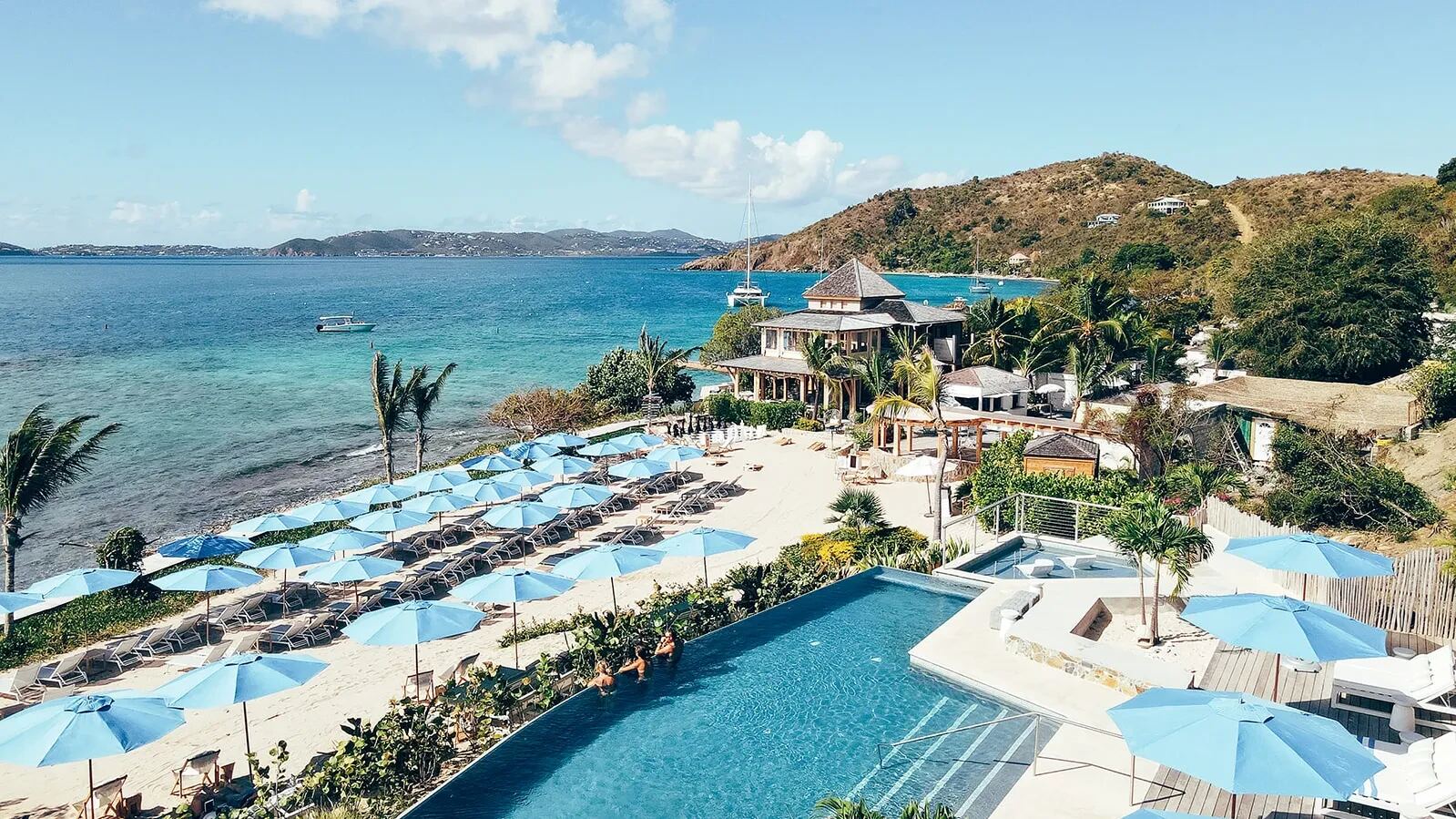
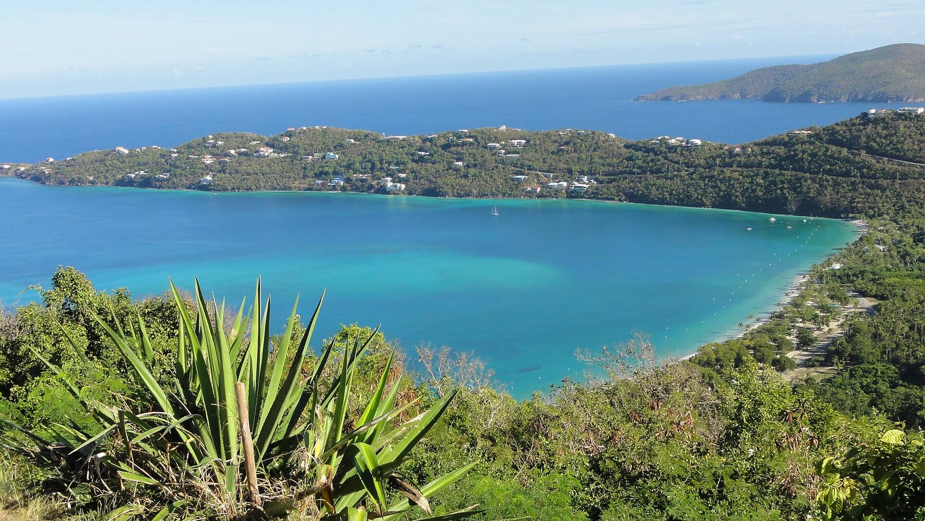
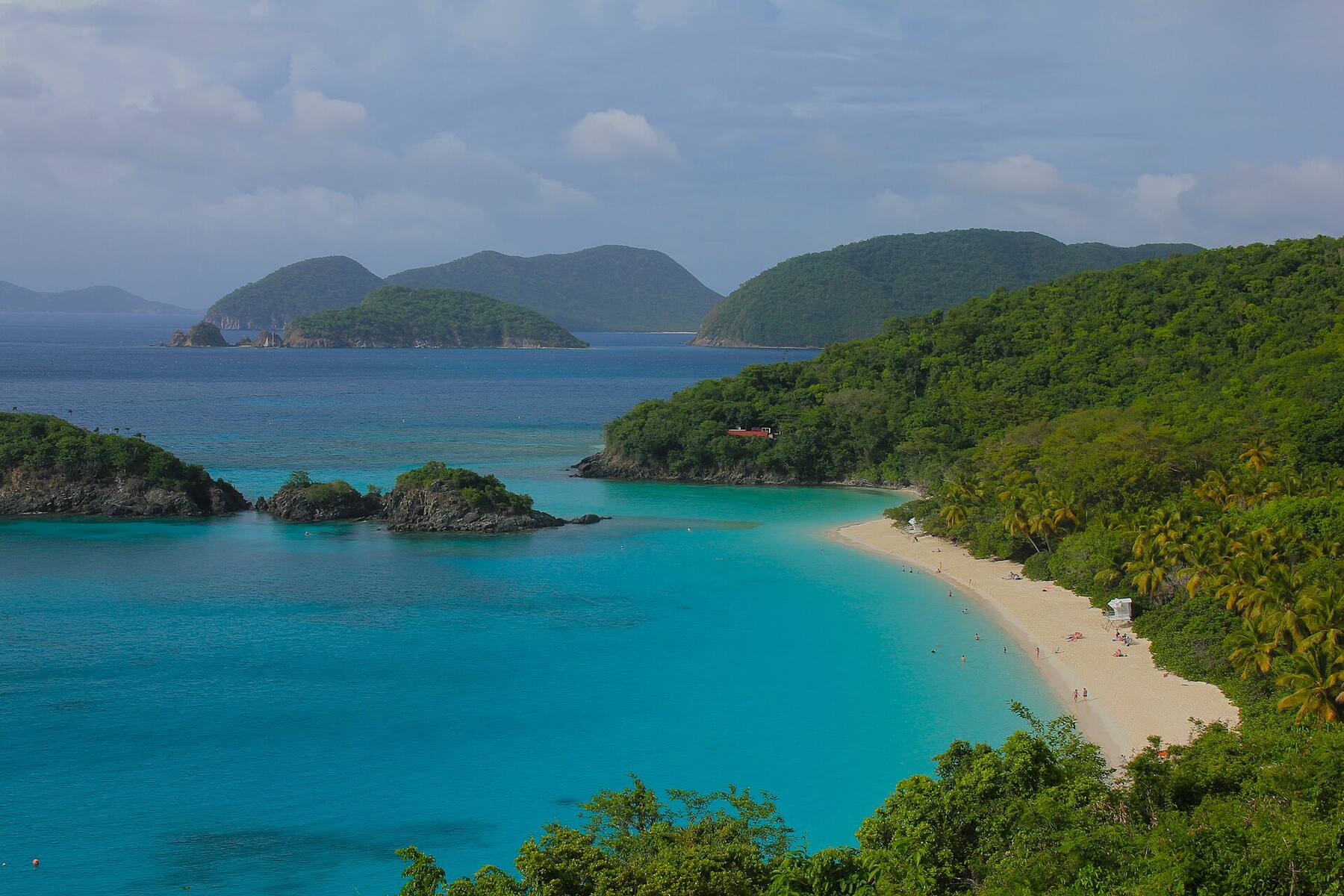
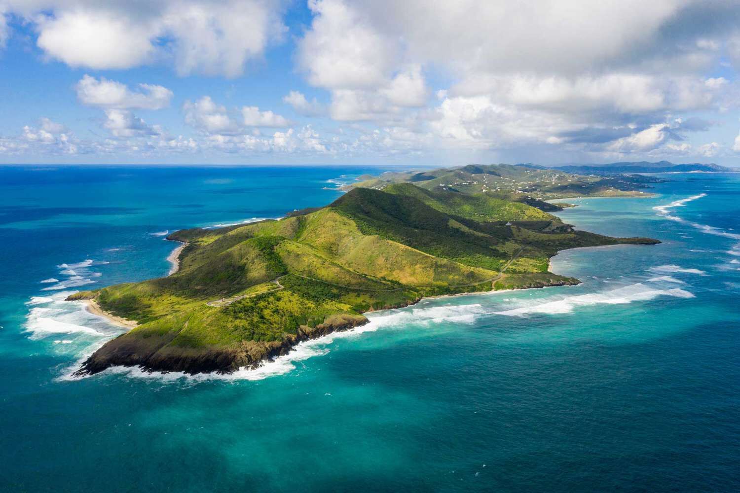
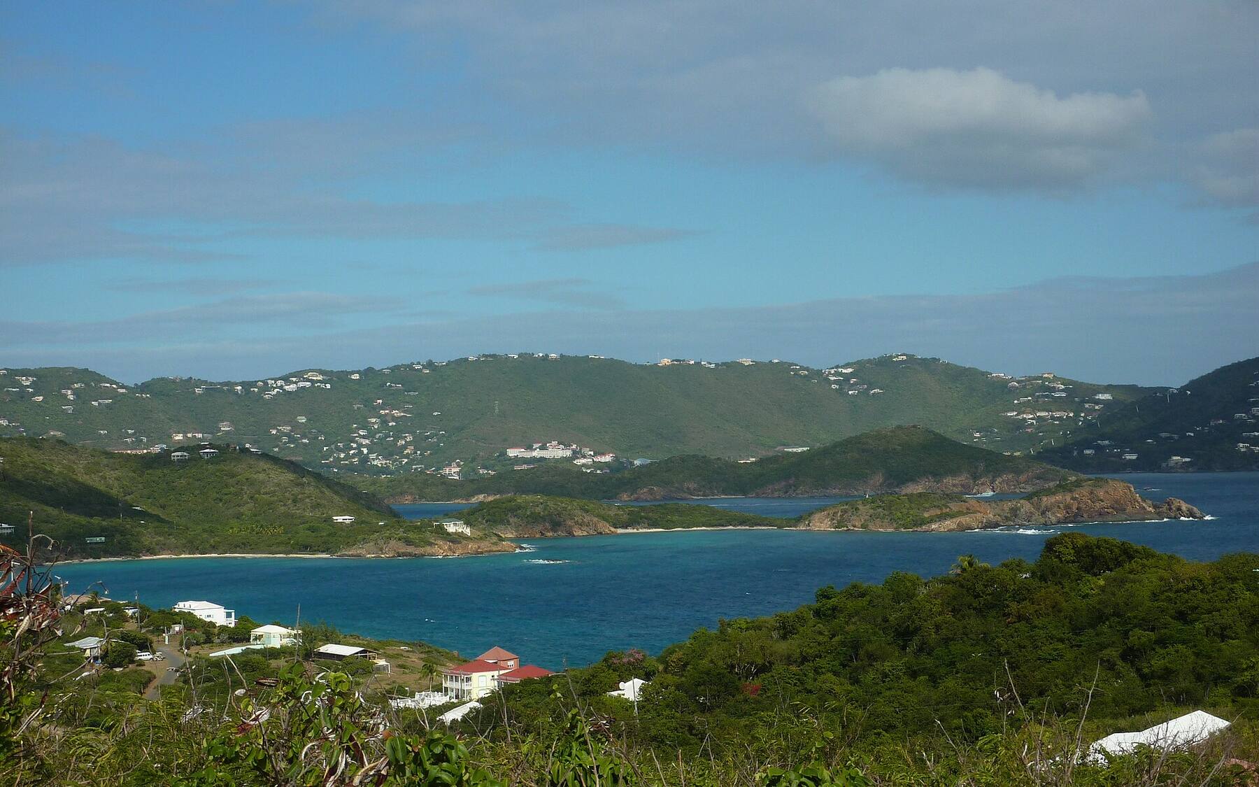
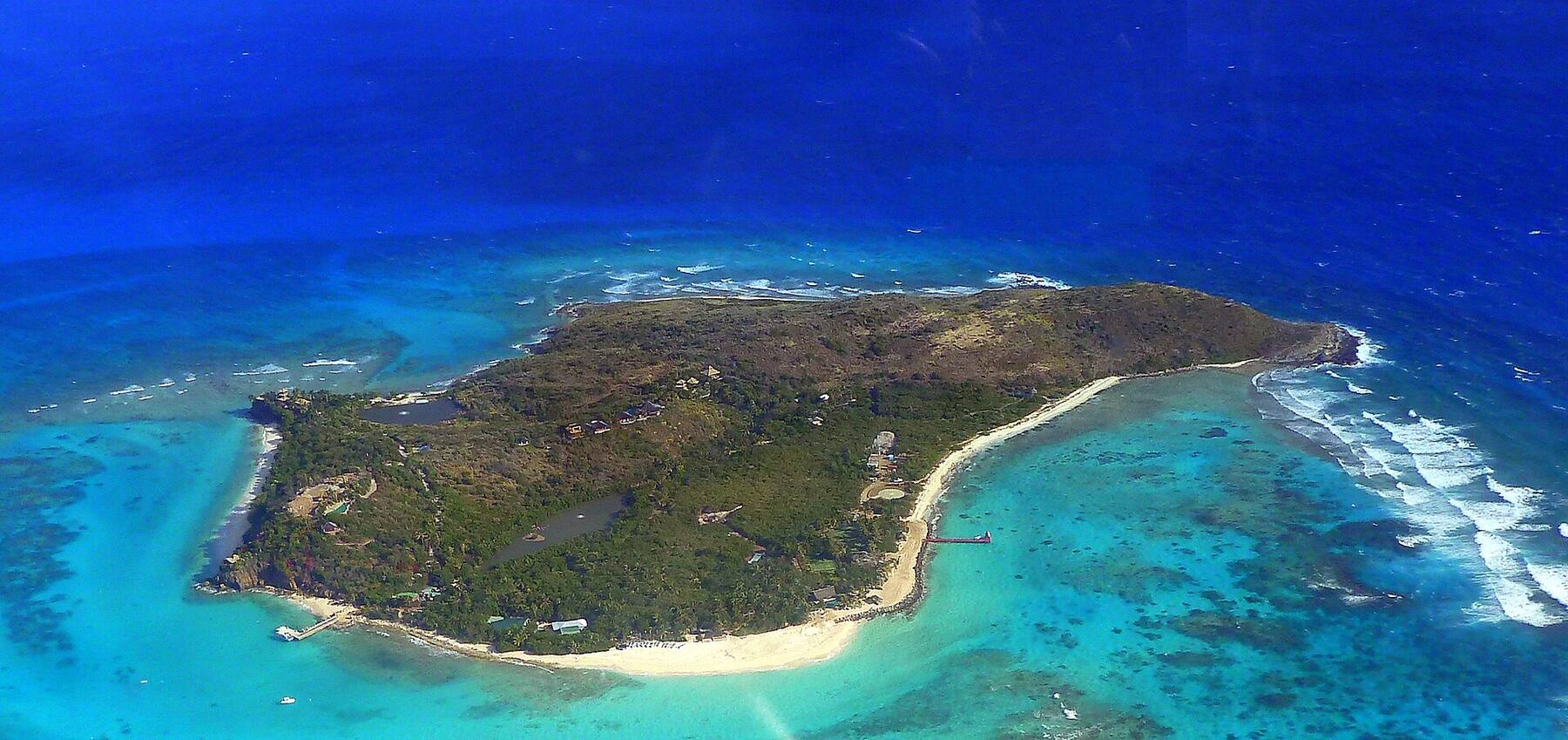
A small, privately owned island in Pillsbury Sound, about a mile north-west of St. John: some 118 acres of steep, dry hillside with a handful of private homes and Lovango Resort + Beach Club. There is no public ferry and no town — you come on the resort's own boat from Red Hook or Cruz Bay, or by charter, for a day at the Beach Club, the snorkeling and the view across to the British Virgin Islands.
At a glance
Lovango Cay in ten facts
Territory
U.S. Virgin Islands — part of the St. John district
Size
About 118 acres (48 ha), rising to about 255 ft (78 m)
Where
Pillsbury Sound, between St. Thomas and St. John — about a mile north-west of St. John
Owned by
Private owners: a few homes and Lovango Resort + Beach Club, which opened in stages from 2021
Getting there
The resort's own boat from Red Hook (St. Thomas) or Cruz Bay (St. John), by reservation — or a charter boat
The resort's season
Open each year from mid-December to mid-July; closed late summer and autumn
Beach
Crescent Beach on the north shore, a short, steep hike from the resort; no swim-in beach at the Beach Club
Next door
Congo Cay, an uninhabited, government-owned cay and seabird nesting site, and Carval Rock beside it
Roads
None public — no cars or taxis; the resort's paths and steep island roads
Clock & money
Atlantic Standard Time (UTC−4) all year; U.S. dollar; no passport needed for U.S. citizens
Plan with VIslandGuide
Every Lovango Cay tool on VIslandGuide
Live schedules, official fares, today's beach and weather reads, cameras and maps — each one opens the full page.
Virgin Islands National ParkTownDock & pierSnorkel & diveFood & drink
Lovango Cay drawn from the U.S. Census shoreline, with Congo Cay to the north, Mingo Cay to the west and the north-west corner of St. John (green: the Virgin Islands National Park boundary, which takes in water as well as land). The lines are the resort boat's runs to Cruz Bay and Red Hook. Tap a pin for more.
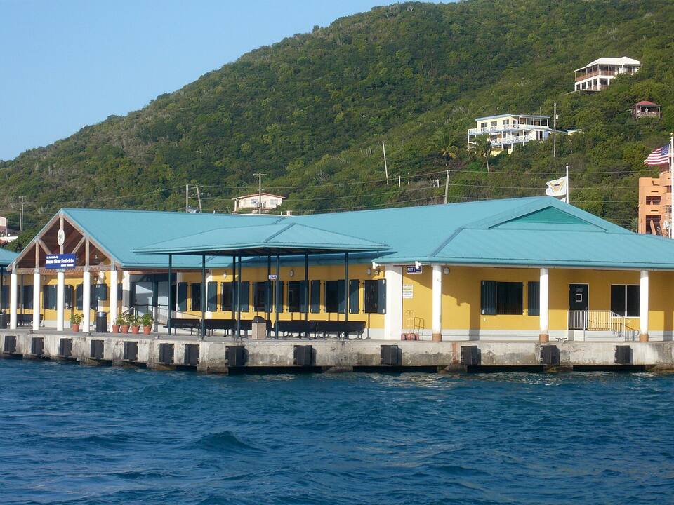
Lovango Cay has no airport, no public ferry and no public dock. The resort runs its own boat from two places: Red Hook on the east end of St. Thomas — from the marina beside the public ferry terminal — and Cruz Bay on St. John, the shorter hop of the two. It carries overnight guests and day visitors with a booking, and the times change with the season: confirm the boat when you book the Beach Club, a meal or a room, and check the last one back.
Fly into Cyril E. King Airport (STT) on St. Thomas and take a taxi to Red Hook; or, if you are staying on St. John, take the boat from Cruz Bay. The other way in is by water: day charters out of Red Hook and Cruz Bay stop for lunch or a snorkel, and boaters can arrange a mooring or dock time with the resort. The resort is open from mid-December to mid-July — outside that there is no boat and nothing ashore for visitors.
From the airport: a taxi from Airport (STT) to Red Hook is $23 for one rider, $17 each for two or more, about 30–40 minutes — see the fare.
The Red Hook ferry terminal on St. Thomas; the Lovango boat leaves from the marina beside it Photo: Gruepig, CC BY-SA 4.0
Book before you go. Day visits, meals and the boat are all by reservation; the Beach Club has limited places, and in winter it fills.
Ask which dock. In Red Hook the boat leaves from the marina, not the public ferry terminal next to it; in Cruz Bay, confirm the pick-up point with the resort.
Pillsbury Sound can be choppy when the trade winds are up. Keep phones and cameras in a dry bag on the crossing.
Coming on a charter? Ask your captain to arrange the stop with the resort in advance — dock time and moorings are booked, not first-come.
There are no public roads, cars or taxis on Lovango Cay; you walk. The Beach Club, the restaurants, the shops and the docks are together on the south shore, a few minutes apart on foot.
Paths climb from there over the island: a steep paved road up from the waterfront, a trail of about 20 minutes over the top to Crescent Beach on the north shore, and another to a lookout facing the British Virgin Islands. They are steep, rocky and hot by midday — wear proper shoes and carry water. Some paths lead only to guest rooms and private homes; keep to the ones the resort shows day visitors.
Beaches
The best beaches on Lovango Cay
Lovango Cay has one beach most visitors set foot on. The Beach Club on the south shore has a pool and loungers but no swim-in beach — the current runs strongly past it, and you reach the water by stairs. For sand, hike over the hill to Crescent Beach on the north shore. Under Virgin Islands law the shoreline is open to the public, but the land behind it is private. Numbers match the map. For which one is calm and uncrowded today, open the beach report.
1
Crescent Beach
Swim-in beachCongo Cay viewQuiet
The island's swim-in beach, a small curve of sand and pebbles on the north shore, looking straight across a narrow channel to Congo Cay. It is a hike of about 20 minutes from the resort over the top of the island, challenging in places. The water on the north side is usually calmer than the south, and nurse sharks are often seen resting on the bottom.
The resort sells day passes to the public: the boat over and back, a lounger or cabana by the long infinity pool, towels and snorkel gear, with food and drinks from The Sandpit. Places are limited and booked ahead, and the club is open only in the resort's season, mid-December to mid-July. There is no swim-in beach at the club itself — the sea is reached by stairs.
From the resort a trail of about 20 minutes climbs over the island's spine and drops to Crescent Beach on the north shore, facing Congo Cay — steep and rocky in places, so wear shoes, not flip-flops. Go in the morning, take water, and swim from the beach on the calmer north side.
The reef runs along Lovango's rocky shores. From the Beach Club you enter by the stairs beside the docks, with the gear that comes with the day pass; charter boats stop off the south side. The current along the south shore can be strong — stay close to the rocks, and snorkel the north side by Crescent Beach when it is running. The resort works with the University of the Virgin Islands on coral restoration in these waters.
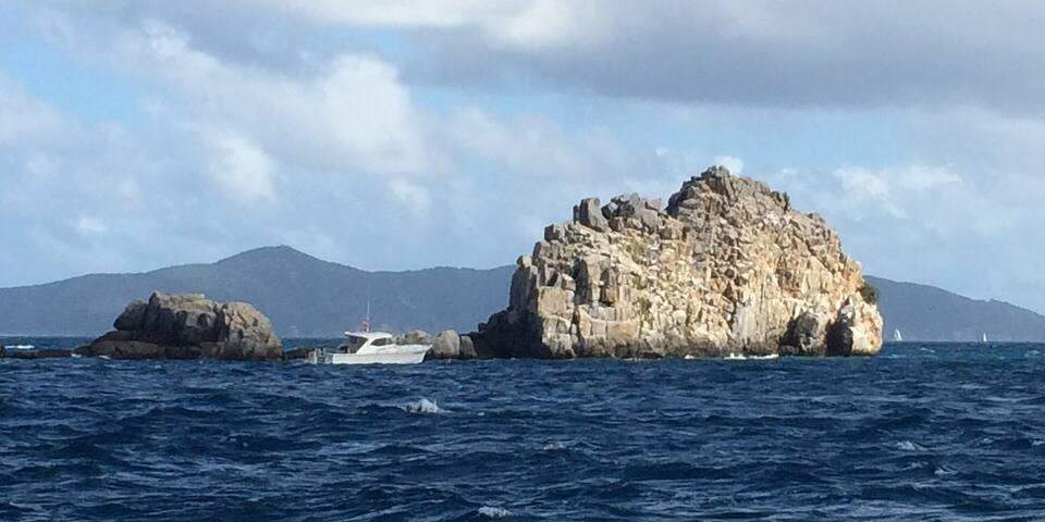
Congo Cay, just north of Lovango, is uninhabited and owned by the territorial government, and listed among the territory's wildlife sanctuaries as a nesting site for brown pelicans — enjoy it from the water and leave the birds alone. Its rocky shores are a regular snorkel stop for charter boats, and Carval Rock, the pinnacle just east of it, is one of the best-known dives in the territory, with walls, swim-throughs and schooling fish. It is open water: go with a dive shop or a captain, on a calm day. J. Robert Oppenheimer, who had a home on St. John, had his ashes scattered at sea in these waters.
Lovango sits in the middle of Pillsbury Sound, so the island's trails look three ways: west to the east end of St. Thomas, south and east to St. John's north shore, and north and east to Jost Van Dyke and Tortola in the British Virgin Islands. The resort's lookout trail runs to a point facing the BVI.
Many captained day trips out of Red Hook and Cruz Bay pass between Lovango and Congo Cay, and some stop for a snorkel, lunch ashore or an hour at the Beach Club — ask when you book, since a stop ashore has to be arranged with the resort. Pair it with St. John's north-shore bays, a short run away.
Visitors and boaters can book a table at the resort's Waterfront Restaurant by the docks, or eat casually at The Sandpit beside the pool. Dinner is not served every night, and the evening boat back has to be booked with the meal — settle both before you go.
Everything to eat and drink on Lovango Cay is at the resort, on the south shore by the docks, and only in its season (mid-December to mid-July). Day visitors book ahead; there is no store, so bring anything else you need from St. Thomas or St. John.
The resort, on the south shore
Waterfront Restaurant (Lovango)Lovango Resort's sit-down restaurant on the water by the docks, open for lunch and for dinner on several nights a week. Day visitors and boaters book ahead.
The Sandpit (Lovango)The resort's casual restaurant and bar beside the Beach Club, serving lunch daily in season and dinner with live music on some evenings.
Shopping: The Shops on Lovango — A small village of boutiques by the resort docks: resortwear, accessories, beauty and books.
Weather & sea
Lovango Cay weather and the best time to go
Warm all year: highs in the mid-80s °F and a steady easterly trade wind. Pillsbury Sound gets choppy when the trades blow hard, which you feel on the crossing and on the south shore. December to April is the dry, busy season and the heart of the resort's year; June to November is hurricane season, peaking from mid-August to mid-October, when the resort is closed.
Lovango Cay has no reading of its own; it sits in St. John's waters, so these are St. John's sea temperatures. Daily-mean sea-surface temperature, averaged 2021–2024 (Open-Meteo marine reanalysis): warmest in Sep (86.3°F), coolest in Feb (79.7°F). Hurricane history map
Good to know
Lovango Cay travel tips
Book everything ahead
The boat, the Beach Club, lunch and dinner are all by reservation. Turning up at Red Hook or Cruz Bay without one does not get you over.
Check the season
The resort opens from mid-December to mid-July. From late July to December there is no boat and nothing open for visitors.
Plan around the last boat
There is no other way back but your own charter. Note the return time when you book and be at the dock early.
Reef-safe sunscreen is the law
The U.S. Virgin Islands ban sunscreens with oxybenzone, octinoxate or octocrylene. Bring a mineral (zinc or titanium) one.
Shoes for the trails
The paths to Crescent Beach and the lookout are steep and rocky. Sandals with a strap or trail shoes, and water.
It is private land
Homes and guest rooms share the island. Keep to the paths open to day visitors, and leave Congo Cay's nesting birds alone.
On the resort's own boat or by private boat. Lovango Resort + Beach Club runs a boat from Red Hook on St. Thomas (from the marina beside the public ferry terminal) and from Cruz Bay on St. John, for guests and day visitors with a reservation. Day charters out of Red Hook and Cruz Bay can also stop, by arrangement with the resort. There is no public ferry.
Can you visit Lovango Cay without staying at the resort?
Yes. The resort sells Beach Club day passes, which include the boat over and back, and takes lunch and dinner bookings from visitors and boaters. Everything is by reservation, and only in the resort's season, mid-December to mid-July.
Is Lovango Cay private?
Yes. The island is privately owned: a few private homes and Lovango Resort + Beach Club, which opened in stages from 2021. Under Virgin Islands law the shoreline itself is open to the public, but the land behind it is private, and there is no public dock.
When is Lovango Resort open?
Each year from mid-December to mid-July, busiest from December to April. It closes for the late summer and autumn — the height of hurricane season — and there is no boat for visitors then.
Is there a beach on Lovango Cay?
Yes — Crescent Beach, a small swim-in beach on the north shore facing Congo Cay, about a 20-minute hike from the resort. The Beach Club on the south shore has a pool and loungers but no swim-in beach, because of the current; you reach the water there by stairs.
What is Congo Cay?
The uninhabited cay just north of Lovango. It is owned by the territorial government and listed among the territory's wildlife sanctuaries as a nesting site for brown pelicans. Its rocky shores are a popular snorkel stop for charter boats, and Carval Rock, beside it, is a well-known dive.
Do you need a passport to visit Lovango Cay?
Not if you are a U.S. citizen: Lovango Cay is part of the U.S. Virgin Islands, so a trip from St. Thomas or St. John is domestic. Non-U.S. visitors need the same documents as for the U.S. mainland.
Can you snorkel at Lovango Cay?
Yes. There is reef along the island's rocky shores; Beach Club day visitors get snorkel gear and enter by the stairs by the docks, and charter boats snorkel the south side and nearby Congo Cay. The current on the south side can be strong, so stay close to the rocks and choose a calm day.
Photo & map credits
A dive boat on the mooring at Carval Rock, the pinnacle beside Congo Cay — MartinezMD, CC BY-SA 3.0, via Wikimedia Commons (resized).
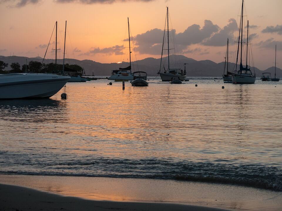
Sailboats on their moorings off Cruz Bay, St. John, at sunset, with St. Thomas across Pillsbury Sound — Scott Long, CC BY 3.0, via Wikimedia Commons (resized).
The Red Hook ferry terminal on St. Thomas; the Lovango boat leaves from the marina beside it — Gruepig, CC BY-SA 4.0, via Wikimedia Commons (resized).
Map: shoreline from U.S. Census Bureau TIGER/Line 2023; park boundary from the National Park Service; roads from our taxi-route data.