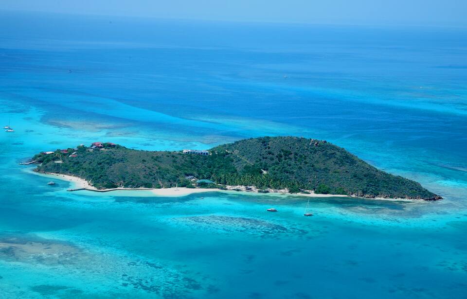
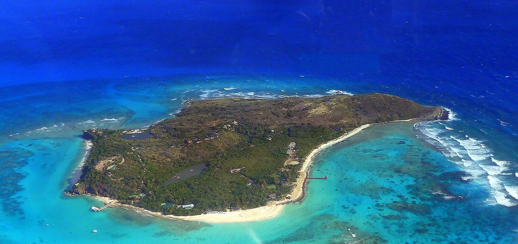
Necker Island from the air: the wooded island ringed by reef, the long beach and the guests' jetty on its south-east side, and the open Atlantic beyond
British Virgin Islands

Necker Island, British Virgin Islands

Sir Richard Branson's private island: about 74 acres of low hills, beaches and reef just beyond North Sound, less than two miles off Virgin Gorda's north-east tip. It is a resort, hired whole or room by room in set Celebration Weeks — there is no public landing, no beach bar and no day visit. What you can do is sail past it, and spend the day in North Sound next door.

Photo: giggel, CC BY 3.0
At a glance

Necker Island in ten facts

Territory
British Virgin Islands — a British Overseas Territory
Size
About 74 acres (30 ha)
Owner
Sir Richard Branson, who bought the island in 1978
Where
Less than two miles north of Virgin Gorda's north-east tip, beyond Eustatia and outside North Sound
Who can go
Resort guests only — no public landing, no day visits, nothing open to passers-by
How people stay
The whole island on an exclusive hire, or a room during the Celebration Weeks Virgin Limited Edition sets each year
Getting there
Guests: the resort's speedboat from Beef Island (EIS), about 30 minutes, or from Virgin Gorda
Neighbours
Moskito Island (also Branson's, also private), Eustatia (private) and Prickly Pear National Park
Clock
Atlantic Standard Time (UTC−4) all year — no daylight saving
Money & ID
U.S. dollar. A passport is needed from the U.S. Virgin Islands and everywhere else
Plan with VIslandGuide

Every Necker Island tool on VIslandGuide

Live schedules, official fares, today's beach and weather reads, cameras and maps — each one opens the full page.

Map

Map of Necker Island

Dock & pierSightFood & drink

Necker Island and the north side of Virgin Gorda's North Sound, drawn from the OpenStreetMap shoreline: Necker top right, Eustatia and Saba Rock below it, Prickly Pear and Moskito Island to the west. Only the North Sound pins are open to the public. Tap a pin for more.

Getting there

How to get to Necker Island

Only resort guests land on Necker. Virgin Limited Edition, Branson's hotel company, sells the island two ways: the whole island on an exclusive hire, or individual rooms during Celebration Weeks, the set weeks it publishes each year (some adults-only). Every stay includes the boat transfers. There is no ferry, no public dock and no day pass.

Guests fly into Beef Island (EIS), the airport joined by bridge to Tortola, where the resort's driver meets them for the two-minute drive to the dock and a speedboat crossing of about 30 minutes; the resort also collects from Virgin Gorda. From St. Thomas you connect by air to Beef Island or Virgin Gorda, or the resort can arrange a charter boat or a helicopter. Coming from the U.S. Virgin Islands is an international trip: bring a passport and clear BVI customs on arrival.

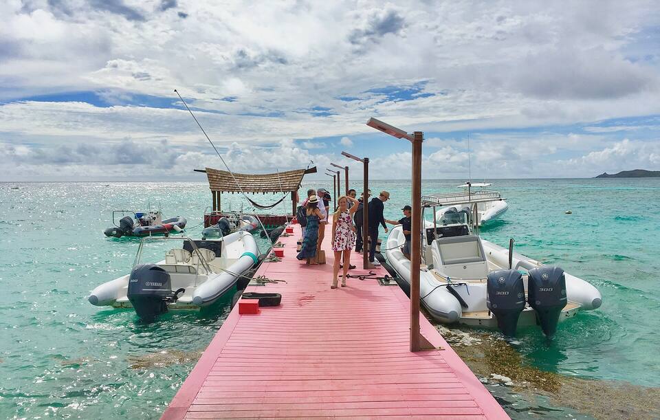
Guests on Necker Island's jetty, with the resort's speedboats tied up either side
Guests on Necker Island's jetty, with the resort's speedboats tied up either side Photo: Steve Jurvetson, CC BY 2.0
  • Not a guest? Base yourself in North Sound on Virgin Gorda instead — Saba Rock, the Bitter End and Leverick Bay are open to all, and Necker is just beyond the reef.
  • Sailing past? Necker is ringed by reef. Give it a wide berth, use your charter company's chart briefing, and do not try to land.
  • Booking a Celebration Week? Dates are fixed each year; ask Virgin Limited Edition which weeks are adults-only and what the minimum stay is.
  • Fly into Beef Island (EIS), not St. Thomas, if you can: the resort's boat leaves from beside the airport.

Beef Island (EIS) flights · Virgin Gorda & North Sound · Request a day charter · BVI sailing: the chart table · BVI customs & entry fees · Do you need a passport?

Getting around

Seeing Necker from North Sound

The nearest you can get is North Sound, Virgin Gorda's big sheltered bay, ringed by Moskito Island, Prickly Pear and Eustatia. Drive or taxi to Gun Creek or Leverick Bay and take a water taxi or the resorts' own boats across to the Bitter End and Saba Rock. From inside the sound, Prickly Pear and Eustatia stand between you and Necker; you see it properly from the water north of the reef.

On a boat — a day charter out of Tortola or Virgin Gorda, or your own — Necker is the island just north of Eustatia, less than two miles off Virgin Gorda's north-east tip. Boats heading out of North Sound for Anegada pass it at a distance. Keep well off: there is reef round much of the island, and the shore is private.

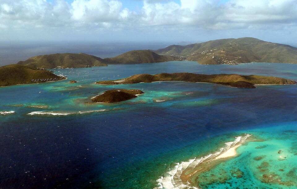
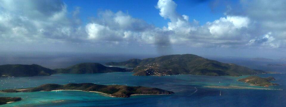
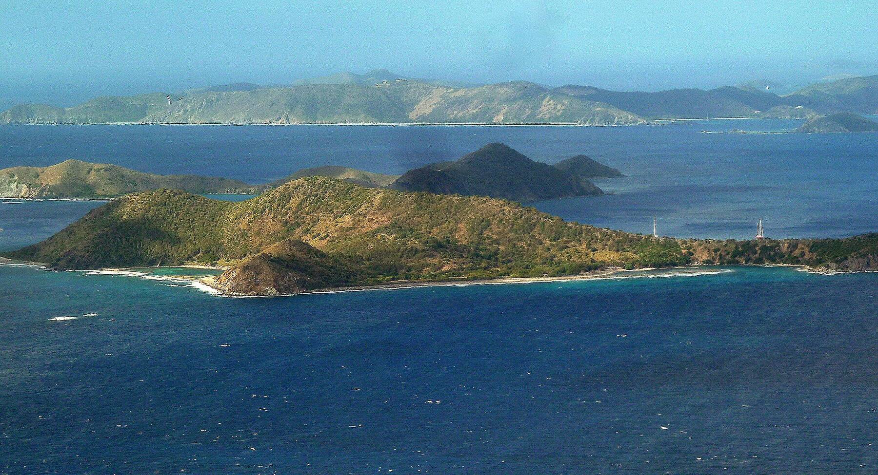
From the air north of the reef: Eustatia in the middle, Prickly Pear behind it and Virgin Gorda's hills round North Sound beyond
From the air north of the reef: Eustatia in the middle, Prickly Pear behind it and Virgin Gorda's hills round North Sound beyond Photo: giggel, CC BY 3.0
Beaches

Beaches on Necker Island

Necker's beaches belong to the resort and are for its guests only, so there is no public beach to feature here. For a beach nearby, go to Prickly Pear, the national-park island on the north side of North Sound, or to Virgin Gorda's beaches in the island guide.

Things to do

Things to do on Necker Island

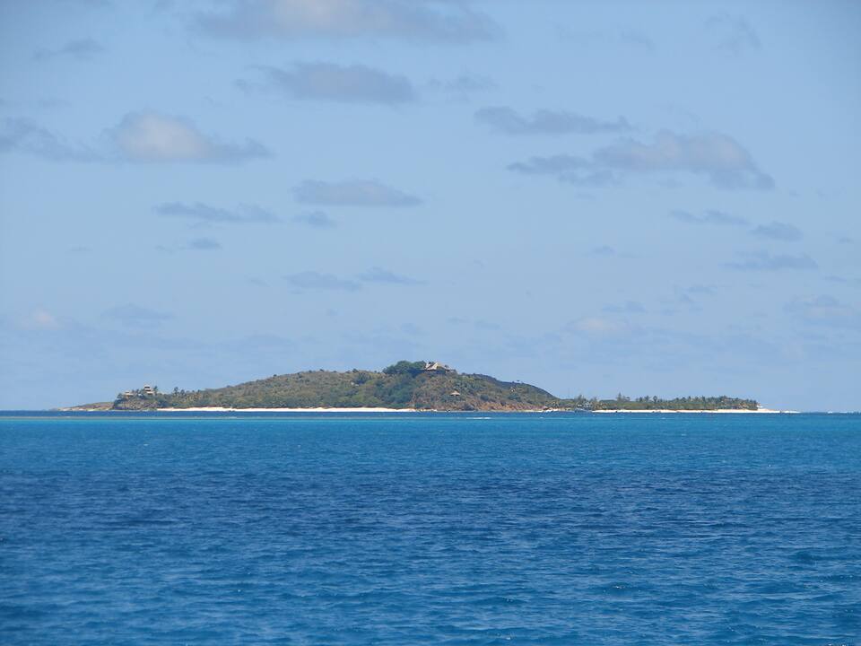
Necker Island seen from a boat at a distance: a low green island with the Great House on its hillPhoto: Legis, Public domain
Boat day

Sail past Necker

The way most people see Necker: from the deck of a boat. Day charters out of Tortola and Virgin Gorda can take in North Sound, Saba Rock and the island's coast from a respectful distance, and bareboat crews pass it on the run north to Anegada. The reef round it is the reason to stay well off — and there is no landing anyway.

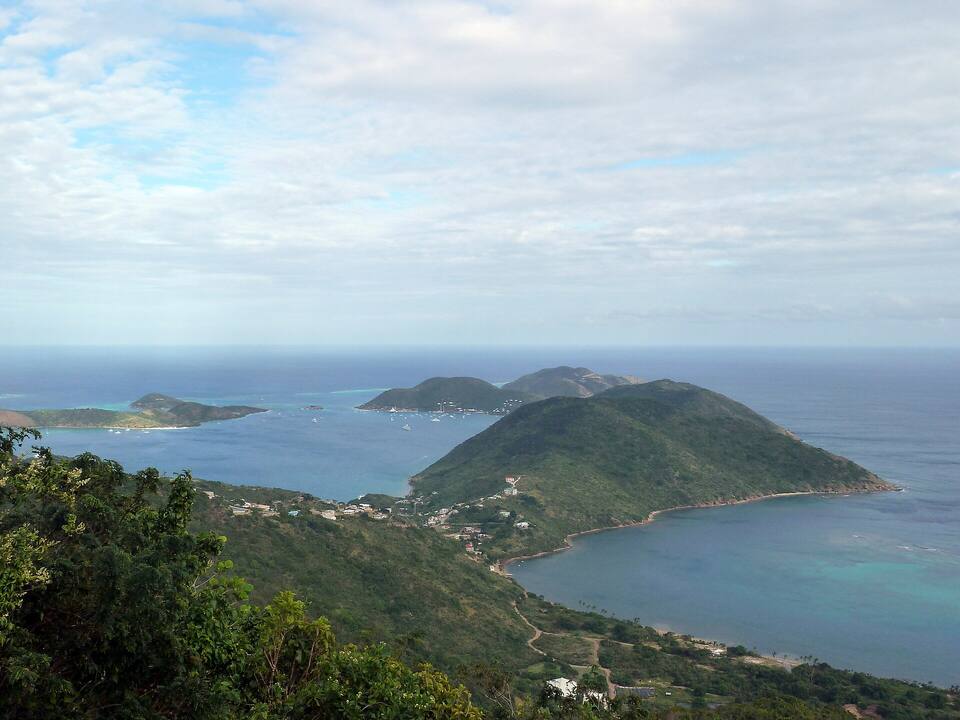
North Sound from the road above it on Virgin Gorda, with the sound's islands beyondPhoto: Gruepig, CC BY-SA 4.0
Bar & boats

A day in North Sound

The public half of this corner of the BVI. Saba Rock, a tiny island with a bar and a small resort, sits at the sound's north-east corner; the Bitter End and Leverick Bay are across the water, with moorings, marinas and water-taxi docks. The live webcam on Saba Rock shows the mooring field before you go.

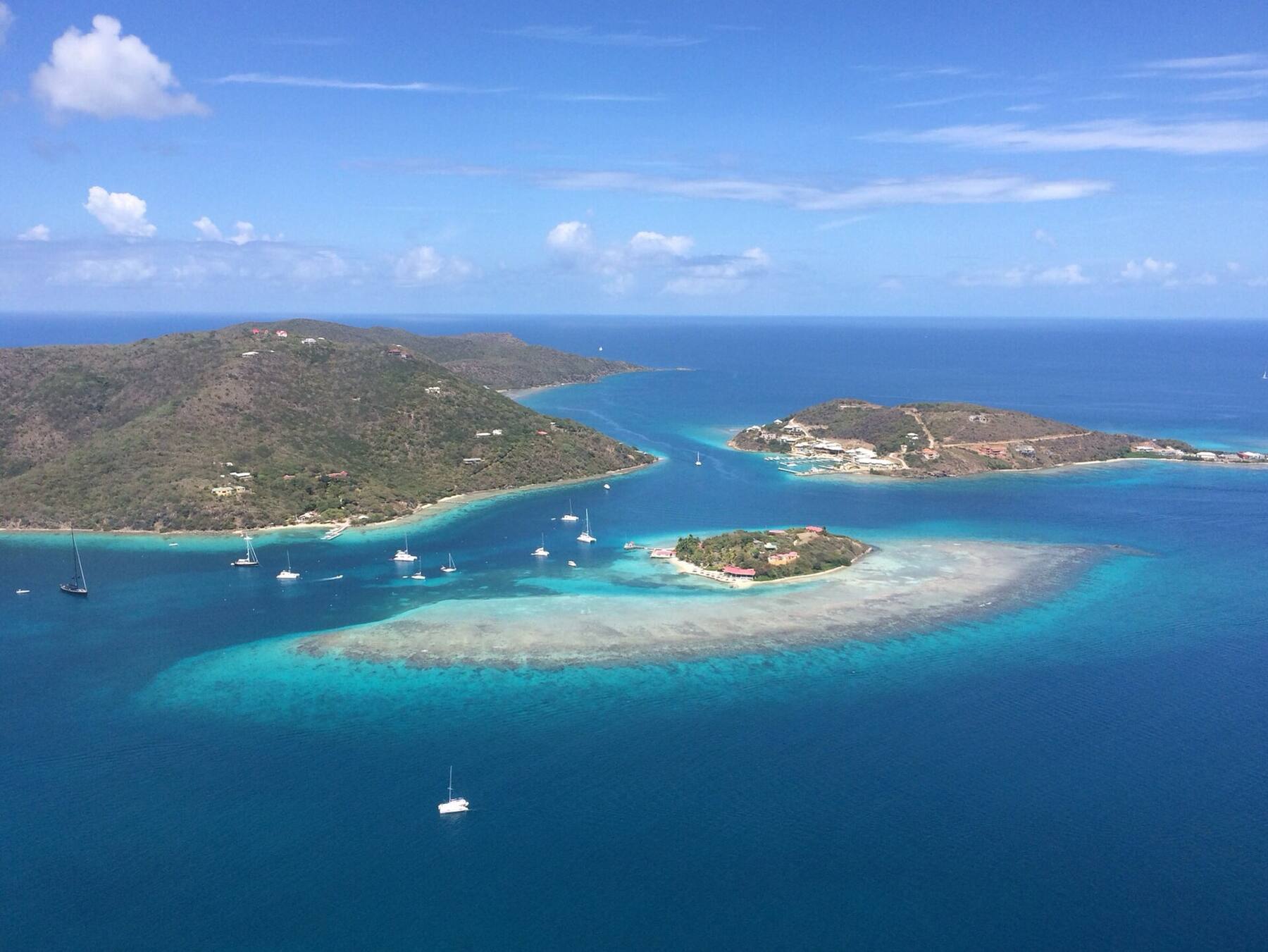
Prickly Pear in front, with North Sound and Virgin Gorda behind it and Moskito Island at the leftPhoto: giggel, CC BY 3.0
Nature

Prickly Pear National Park

The island that closes North Sound to the north: declared a bird sanctuary in 1980 and a national park in 1988 for its salt ponds, mangroves and turtle-nesting beaches, and looked after by the National Parks Trust of the Virgin Islands. Anchor or take a dinghy to its sandy shore and walk the edge of the ponds for wading birds.

Private island

Moskito Island

The bigger island on North Sound's west side, also Branson's: he bought it in 2007. For years it was the sail-in Drake's Anchorage dive resort; today it is private estates, some rented through Virgin Limited Edition, and like Necker it is not open to the public. You see it from Leverick Bay and from any boat in the sound.

Eustatia Island from the air, its beaches and reef in shallow turquoise waterPhoto: David Pettigrew, Public domain
Private island

Eustatia and its reef

The small island between North Sound and Necker, privately owned, with Eustatia Reef running east from it. The reef-sheltered water inside it is a favourite of kitesurfers and windsurfers out of North Sound, but it is shallow and coral-strewn: many charter companies keep bareboats out of it, so check your chart briefing before you go near.

Wildlife

Flamingos in the islands

Caribbean flamingos were wiped out in the Virgin Islands by the mid-20th century. Branson brought a flock to Necker's ponds in 2008 and it has grown since — but only guests see it. The wild colony you can visit is on Anegada, the flat island to the north, where flamingos were brought back to the salt ponds in the 1990s.

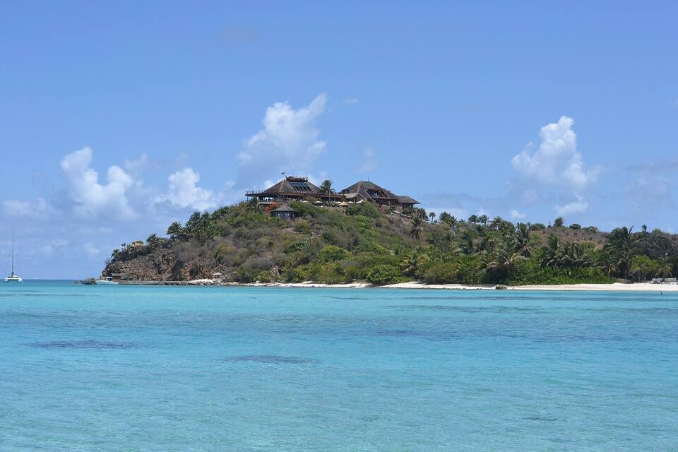
The Great House on its hilltop at Necker Island, seen from the water — the house rebuilt after the 2011 firePhoto: Mazzy02, CC BY-SA 4.0
History

Fire and hurricane: Necker's recent history

Branson bought the uninhabited island in 1978 and built the resort round a hilltop Great House. On 22 August 2011, as Tropical Storm Irene passed, lightning set the Great House on fire; the guests, Kate Winslet among them, got out unhurt, and it was rebuilt. On 6 September 2017 Hurricane Irma, a Category 5, wrecked most of the island; most of the buildings were rebuilt in 2018.

Weather & sea

Necker Island weather and the best time to go

Warm all year: highs in the mid-80s °F and a steady easterly trade wind, with the full Atlantic swell on Necker's north and east sides. North Sound stays sheltered when the sea outside is rough — the day to sail past Necker is a calm one. December to April is the dry, busy season. June to November is hurricane season, with the peak from mid-August to mid-October; several North Sound resorts close for part of the autumn.

The next 7 days

DaySkyHigh / lowRainWindSeas
TodayDrizzle86° / 83°F33%ESE 19 mph3.5 ft
TomorrowShowers85° / 81°F78%ESE 19 mph, gusts 263.9 ft
Wed, Oct 7Showers83° / 80°F79%ESE 19 mph, gusts 253.5 ft
Thu, Oct 8Thunderstorms85° / 79°F51%E 17 mph3.1 ft
Fri, Oct 9Drizzle84° / 83°F53%E 18 mph3.2 ft
Sat, Oct 10Drizzle83° / 80°F72%ENE 14 mph, gusts 222.8 ft
Sun, Oct 11Showers82° / 79°F71%ESE 14 mph, gusts 222.3 ft

Open-Meteo forecast for Necker Island, refreshed every half hour. Live weather map · BVI sailing weather & marine zones

Sea temperature by month

Necker Island has no reading of its own; these are the waters off Virgin Gorda, less than two miles south. Daily-mean sea-surface temperature, averaged 2021–2024 (Open-Meteo marine reanalysis): warmest in Sep (86.3°F), coolest in Feb (79.5°F). Hurricane history map

Good to know

Necker Island travel tips

No landing, no day visit

Necker is a private resort. Only booked guests go ashore — there is no day pass, no beach bar and no public dock.

Go to North Sound instead

Saba Rock, the Bitter End and Leverick Bay are open to everyone and are as close to Necker as most visitors get.

Keep off the reef

Reef surrounds much of Necker and runs east from Eustatia. Stay in deep water, follow your chart briefing and do not anchor near the island.

Passport, every time

Necker is in the BVI. Coming from St. Thomas or St. John, every passenger needs a passport and clears BVI customs.

Fly to Beef Island

Guests' transfers leave from beside Beef Island airport (EIS); Virgin Gorda is the other pick-up.

Pick a calm day

Necker's north and east sides face the open Atlantic. When the trade wind is up, the run outside North Sound is rough.

Island hopping

Explore the other islands

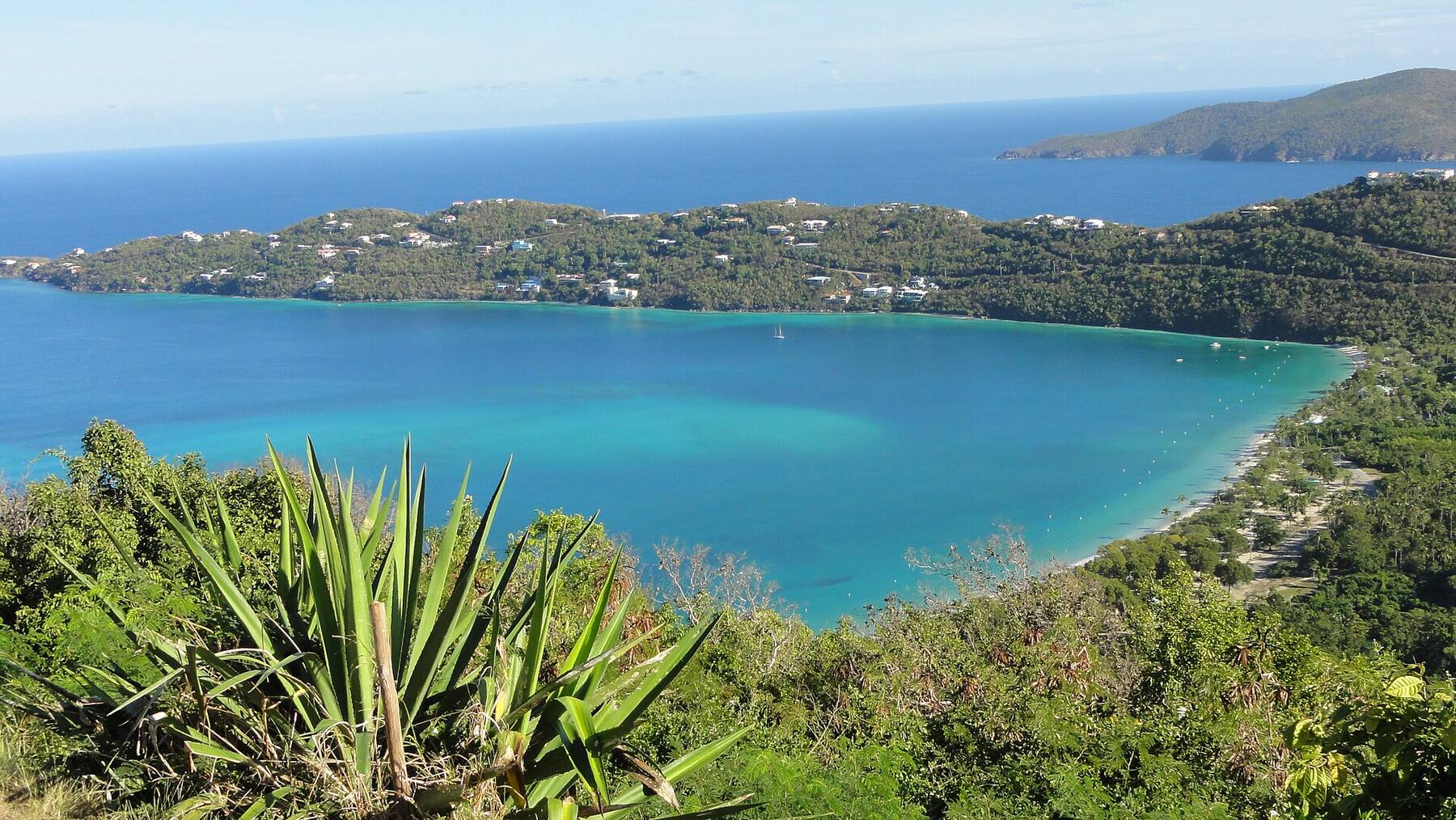
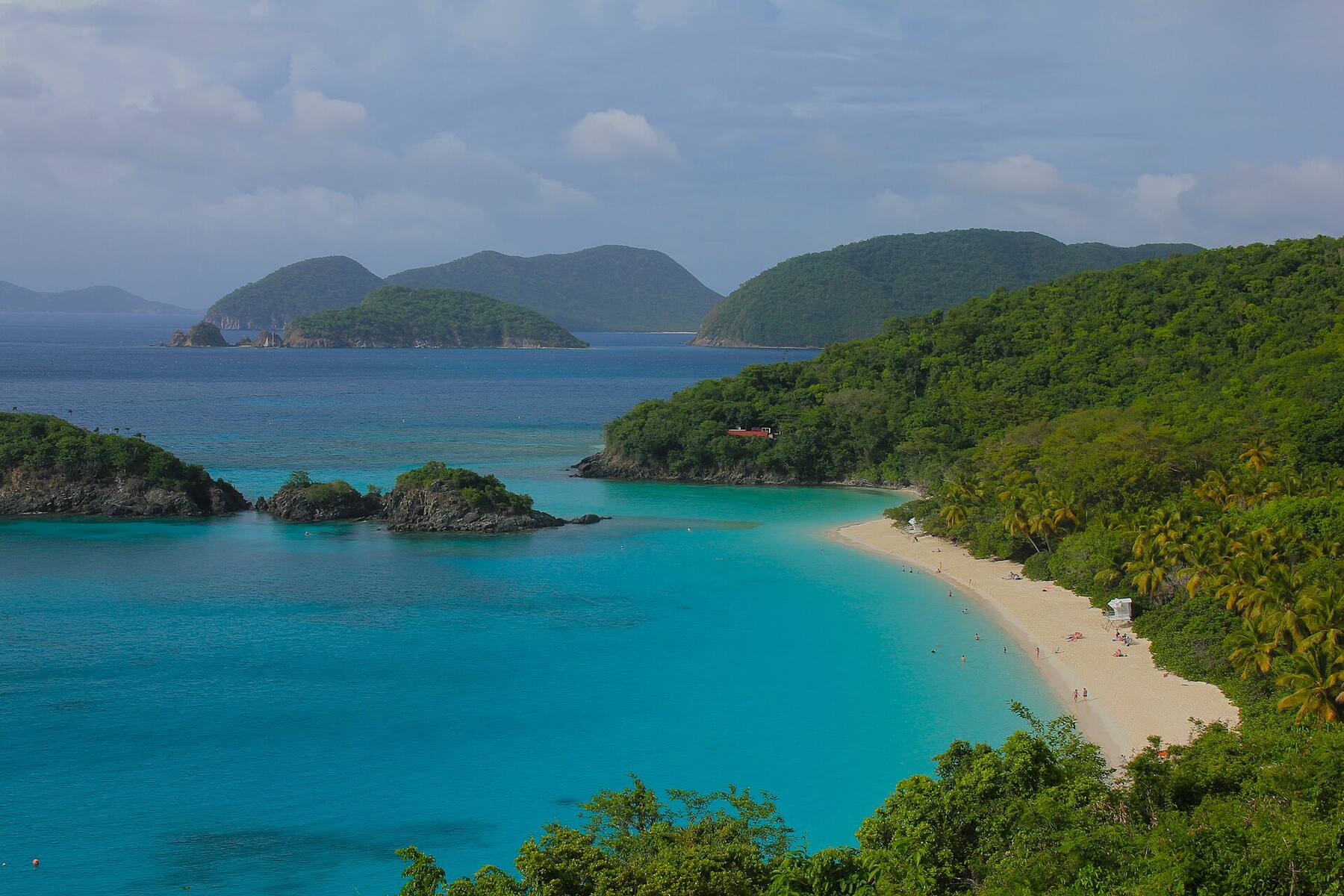
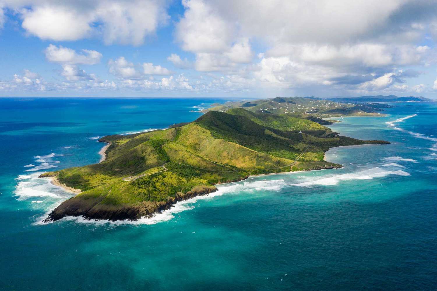
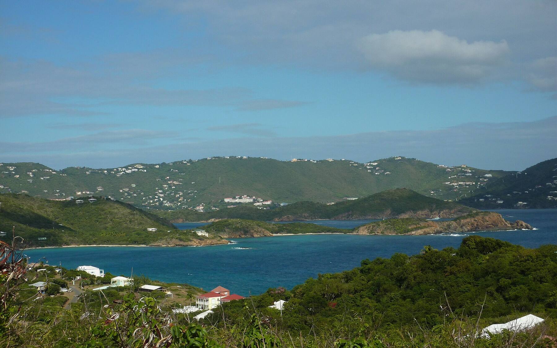
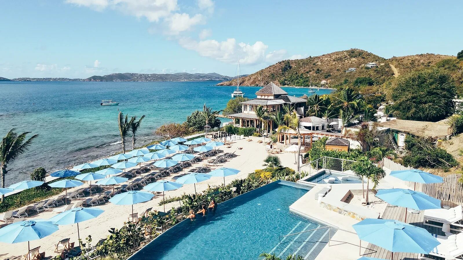
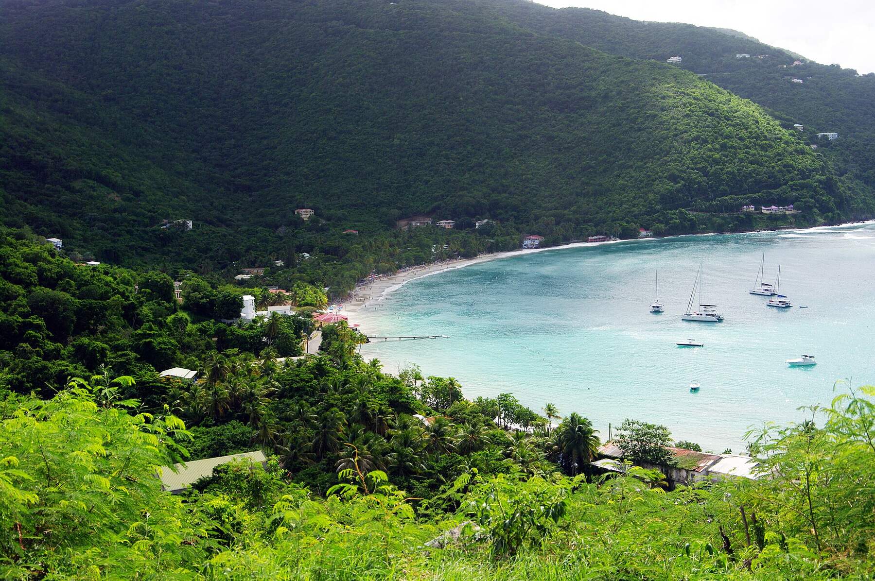
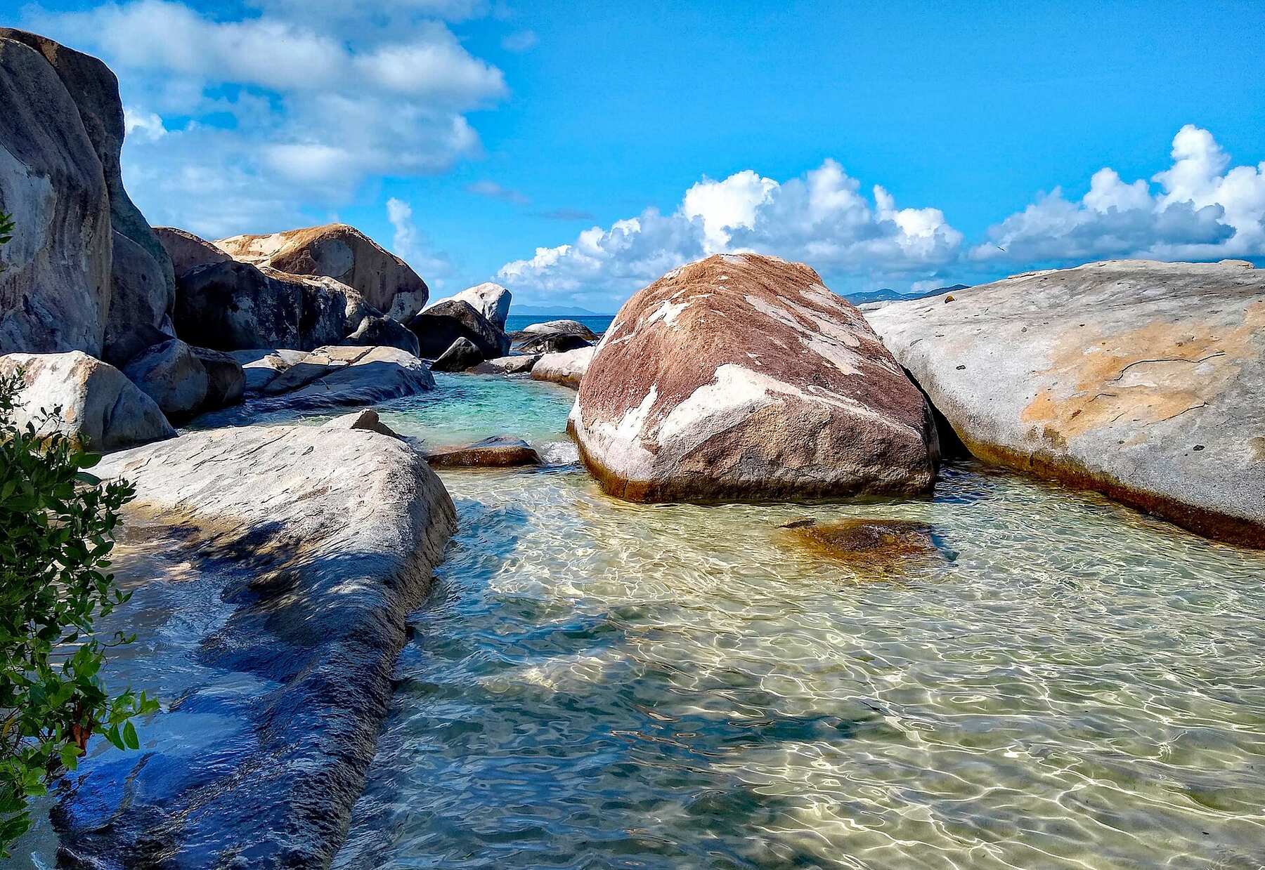
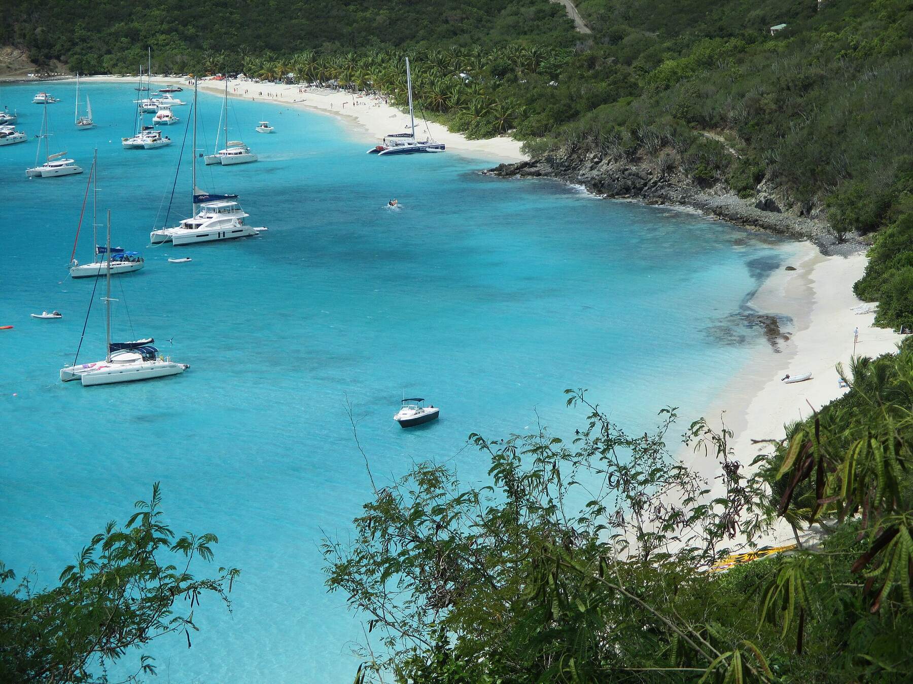
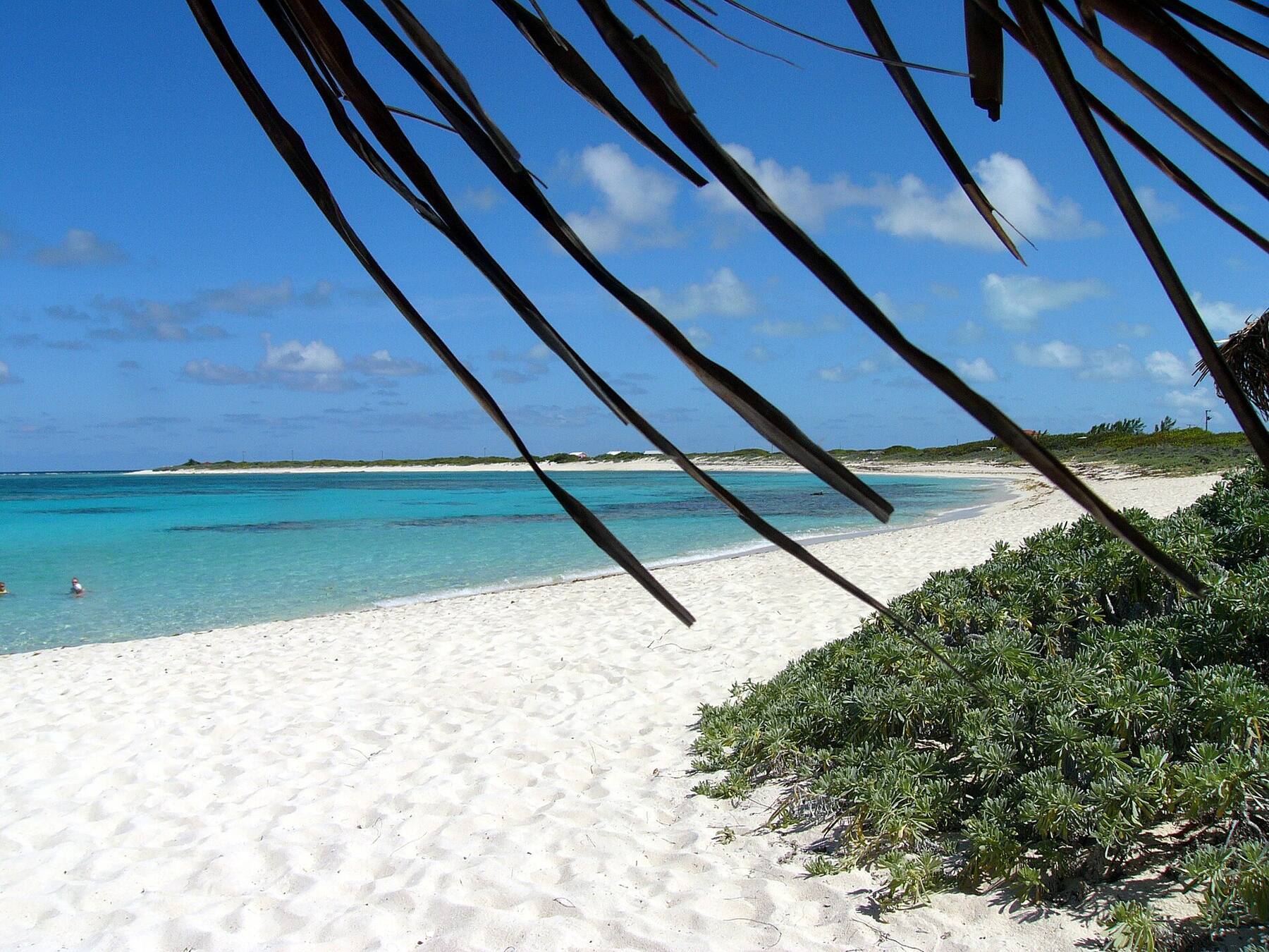
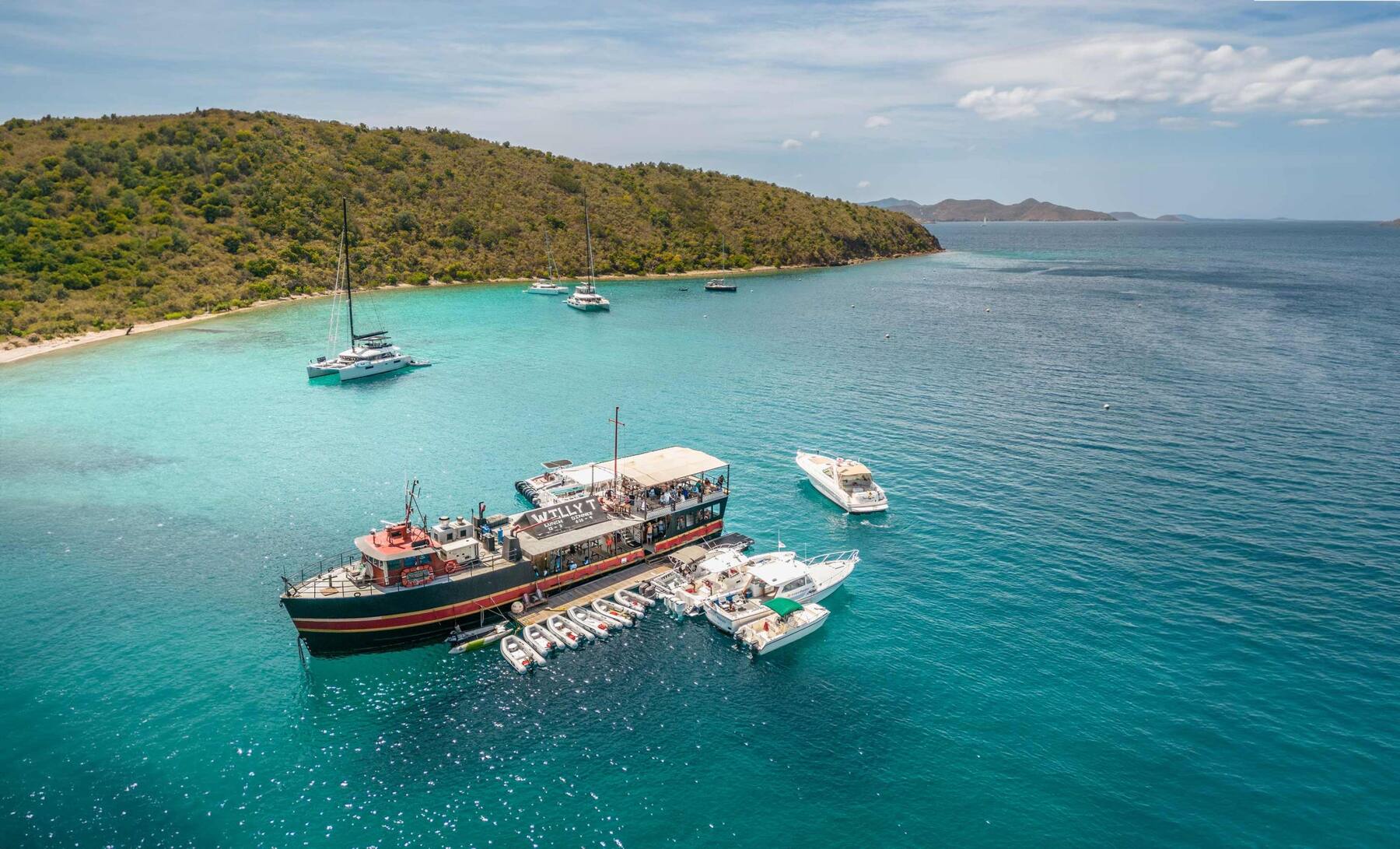
Magens Bay from the hills above: the long white beach at the head of a sheltered bay on the north shore of St. ThomasU.S. Virgin IslandsSt. ThomasThe airport, the cruise docks, the Red Hook ferries, taxi fares and the best beaches on a true map of St. Thomas — with today's weather and the next boat to St. John.Trunk Bay, St. John, seen from the North Shore Road overlook — white sand, turquoise water and Trunk CayU.S. Virgin IslandsSt. JohnFerries, taxis, beaches, hikes and a true map of St. John — two-thirds national park — with today's weather and the next boat from Red Hook.St. Croix's East End from the air: green hills and reef-ringed headlands at Point Udall, the north shore running west into the distanceU.S. Virgin IslandsSt. CroixGetting from St. Thomas to St. Croix by seaplane or ferry, the airport, taxi fares, Buck Island, Christiansted, Frederiksted and every main beach on a true map.Water Island's hills and bays seen from Fort Segarra, with St. Thomas across the water behindU.S. Virgin IslandsWater IslandThe ferry from Crown Bay, Honeymoon Beach, Fort Segarra and a true map of the smallest U.S. Virgin Island, with today's weather and the next boat.Lovango's Beach Club from above: the infinity pool, rows of blue umbrellas on the sand and the clubhouse, with yachts at anchor and the islands across Pillsbury SoundU.S. Virgin IslandsLovango CayHow to reach Lovango Cay from St. Thomas or St. John, who can visit, the Beach Club and Crescent Beach, the snorkeling at Congo Cay and Carval Rock, and a true map.Cane Garden Bay from the hillside above it: the curve of sand, yachts at anchor and the green north-shore hillsBritish Virgin IslandsTortolaFerries, taxis, beaches and a true map of Tortola — the BVI's capital island and charter base — with today's weather and the next boat from St. Thomas.The Baths, Virgin Gorda: granite boulders around a clear tidal pool under a blue skyBritish Virgin IslandsVirgin GordaThe Baths, Spring Bay, Savannah Bay and North Sound on a true map, with the next ferry from Road Town, the official taxi fares and today's weather.White Bay, Jost Van Dyke, from the hillside: yachts on their moorings over turquoise water and a long strip of white sandBritish Virgin IslandsJost Van DykeHow to get to Jost Van Dyke, what the taxis cost, White Bay and the Soggy Dollar, Foxy's in Great Harbour, the Bubbly Pool and Sandy Spit — with today's weather and the next boat.Loblolly Bay, Anegada: white sand curving away along the north shore, turquoise water over the reef and palm fronds overheadBritish Virgin IslandsAnegadaThe flat coral island at the top of the BVI: how to get there, what the taxis cost, Loblolly Bay, Cow Wreck Beach, the flamingo ponds, Horseshoe Reef and lobster on the beach — with today's weather.The Willy T, Norman Island's floating bar, moored in the Bight with dinghies tied alongside and yachts on the moorings beyondBritish Virgin IslandsNorman IslandThe boat-only island: day sails and charters from St. Thomas, St. John and Tortola, the Caves at Treasure Point, the Indians, the Bight and its floating bar.Deadman's Bay on Peter Island from the hillside: palms and loungers along the sand, turquoise shallows and a dinghy pulled up on the beachBritish Virgin IslandsPeter IslandThe private island across the channel from Road Town: getting there by the resort's ferry or your own boat, Deadman's Bay, the anchorages, Dead Chest and the RMS Rhone.Cooper Island from the air, its green hills and sandy shore ringed by reef, with Salt Island and Peter Island beyond and Tortola across the channelBritish Virgin IslandsCooper IslandThe boat-only island across the channel from Tortola: the beach club and its moorings on Manchioneel Bay, Cistern Point, Wreck Alley and the RMS Rhone next door.From the air: Marina Cay on its reef in front, Scrub Island with the resort and marina on the right, Great Camanoe on the left and yachts on the moorings betweenBritish Virgin IslandsScrub IslandThe private resort island off Tortola's east end: how the launch from Trellis Bay works, the 55-slip marina, three small beaches, Marina Cay and the live marina cam.

Necker Island FAQ

Can you visit Necker Island?

Not unless you are staying there. Necker is Sir Richard Branson's private island, run as a resort by Virgin Limited Edition: there is no day visit, no public dock and no bar for passing boats. You can see it from a boat, and spend the day in North Sound next door — Saba Rock, the Bitter End and Leverick Bay are open to all.

How do you stay on Necker Island?

Two ways: hire the whole island exclusively, or book a room during one of the Celebration Weeks Virgin Limited Edition sets each year, some of them adults-only. Stays are all-inclusive — food, drink, most activities and the boat transfers. Bookings go through Virgin Limited Edition.

How much does it cost to stay on Necker Island?

A great deal: hiring the whole island runs to six figures in U.S. dollars a night, and Celebration Week rooms cost much less than the whole island but are sold for set weeks. Rates change by season and are set by Virgin Limited Edition — ask them for current prices.

How do guests get to Necker Island?

They fly into Beef Island (EIS), next to Tortola, and the resort's driver takes them two minutes to the dock for a speedboat crossing of about 30 minutes; the resort also collects from Virgin Gorda. From St. Thomas, guests connect by air to Beef Island or Virgin Gorda, or come by charter boat or helicopter.

Where is Necker Island?

In the British Virgin Islands, less than two miles north of Virgin Gorda's north-east tip, just outside North Sound and directly north of Eustatia. Moskito Island and Prickly Pear are its other neighbours; Anegada is about 12 miles north.

Who owns Necker Island?

Sir Richard Branson, who bought it, uninhabited, in 1978 and built the resort. He also owns Moskito Island, on the west side of North Sound, bought in 2007.

What happened to Necker Island in the fire and in Hurricane Irma?

On 22 August 2011, during Tropical Storm Irene, lightning set the Great House on fire and it burned down; the guests, Kate Winslet among them, escaped unhurt, and it was rebuilt. On 6 September 2017 Hurricane Irma, a Category 5, destroyed most of the island; most of the buildings were rebuilt in 2018.

Can you visit Moskito Island?

No. Moskito (Mosquito) Island, on the west side of North Sound, is also Branson's and is private estates, some rented through Virgin Limited Edition. You can see it from Leverick Bay and from any boat in the sound.

Photo & map credits

  • Necker Island from the air: the wooded island ringed by reef, the long beach and the guests' jetty on its south-east side, and the open Atlantic beyond — giggel, CC BY 3.0, via Wikimedia Commons (resized).
  • Necker Island seen from a boat at a distance: a low green island with the Great House on its hill — Legis, Public domain, via Wikimedia Commons (resized).
  • The Great House on its hilltop at Necker Island, seen from the water — the house rebuilt after the 2011 fire — Mazzy02, CC BY-SA 4.0, via Wikimedia Commons (resized).
  • Guests on Necker Island's jetty, with the resort's speedboats tied up either side — Steve Jurvetson, CC BY 2.0, via Wikimedia Commons (resized).
  • From the air north of the reef: Eustatia in the middle, Prickly Pear behind it and Virgin Gorda's hills round North Sound beyond — giggel, CC BY 3.0, via Wikimedia Commons (resized).
  • Prickly Pear in front, with North Sound and Virgin Gorda behind it and Moskito Island at the left — giggel, CC BY 3.0, via Wikimedia Commons (resized).
  • North Sound from the road above it on Virgin Gorda, with the sound's islands beyond — Gruepig, CC BY-SA 4.0, via Wikimedia Commons (resized).
  • Eustatia Island from the air, its beaches and reef in shallow turquoise water — David Pettigrew, Public domain, via Wikimedia Commons (resized).
  • Map: shoreline from OpenStreetMap (© OpenStreetMap contributors, ODbL); roads from our taxi-route data.

Share this page

Also on VIslandGuide