A curve of white sand under sea grape trees at the head of Smith Bay, on the East End of St. Thomas, a mile from Red Hook. No hotel, no bar, no vendors: the territory bought the land in 2006 after years of fighting a developer's fence, and the Magens Bay Authority runs it as Smith Bay Park, with a gate, a small fee and lifeguards.
The East End of St. Thomas, U.S. Virgin Islands — off Route 38 (Smith Bay Road), about a mile from Red Hook, between Coki Point and Sapphire Beach
Names
Lindquist or Lindqvist Beach to most people; Smith Bay Park officially; the tourism department adds "Secret Sands" and "the pink-sand beach"
The beach
A curve of sand round the head of Smith Bay, shaded by sea grapes, opening north-east to the cays; a narrower strip runs on north-west along the shore
Run by
The Magens Bay Authority, the government agency that runs Magens Bay: the 21.73-acre park was deeded to it by the Government of the Virgin Islands
Hours
8 am to 5 pm, every day
Entry
$7 a visitor, children under 12 free, $2 to park a car; Virgin Islands residents with local ID pay $2
On the sand
Restrooms, rinse stations, picnic pavilions and lifeguards — and no food or drink vendors, so bring your own
Sargassum
It faces the drift: the Authority closed it to swimming twice in summer 2025 and closed the beach in July 2026 when seaweed piled up
Water quality
DPNR tests it most weeks as "Lindqvist Beach": in 2026 it met the bacteria standard in all 28 weeks it was sampled (to October 9)
History
Saved from development: taken by eminent domain in 2005, bought outright in 2006 for $8.9 million, opened to the public in April 2007
Today
Is Lindquist Beach good today?
Skip today Thunderstorms in the forecast · Sargassum offshore. If you go, the least bad stretch left is 3 pm–6 pm.
Day
The call
Why
Best time
Cruise guests here
Sea at the beach
Rain
Today
Skip today
Thunderstorms in the forecast · Sargassum offshore
3 pm–6 pm
None
Some chop · 2.2 ft
Thunder
Tomorrow
Think twice
Thunderstorms in the forecast · Sargassum offshore
10 am–1 pm
None
Calm · 0.9 ft
Thunder
Sun, Nov 8
Skip today
Sargassum offshore · Choppy — N swell into the bay
3 pm–6 pm
~250, 10 am–3 pm
Some chop · 2.5 ft
39%
Mon, Nov 9
Skip today
Rough — 3.1 ft N swell, shore break · Sargassum offshore
3 pm–6 pm
~100
Some chop · 2.6 ft
24%
Tue, Nov 10
Skip today
Sargassum offshore · Choppy — NNE swell into the bay
10 am–1 pm
~150
Some chop · 2.3 ft
35%
The call is the same one our beach report makes, refreshed every half hour: the swell and trade-wind sea reaching the bay (Open-Meteo's marine forecast), the cruise passengers our crowd model puts on the sand, NOAA's sargassum satellite and the rain forecast. It is a model, not a lifeguard's report — and when the Authority closes the beach for sargassum, the closure is the last word. The bars under each call are the hours from 8 am to 5 pm. Today's beach report
Taxi fares, the ferry from Red Hook down the road, the sargassum map that decides this beach's summer, today's beach and weather reads and the island around it — each one opens the full page.
Smith Bay Park from OpenStreetMap: the sand at the head of the bay, the park road down from Route 38 (Smith Bay Road) to a turnaround behind the beach, and the two car parks by the entrance. The orange line is the sand we traced from aerial imagery for our beach report, since OpenStreetMap has no outline for it; it does not map the admission booth, the bathhouse or the picnic pavilions either. Tap a pin for its section.
Getting there
How to get to Lindquist Beach
Lindquist is on the East End, off Route 38 — Smith Bay Road, the main road between Charlotte Amalie and Red Hook. From Red Hook it is about a mile north-west along Route 38, the tourism department says, under five minutes by car; the park entrance is on the right, by two car parks, and the park road runs down from there to the sand.
Taxis charge the official per-person fare in the table from Charlotte Amalie and the airport; the Taxicab Commission's tariff calls the stop Smith Bay, and taxis can drive in to the entrance. The ride from town is the length of the island, so allow for it. In a rental car, parking is $2 for the day at the lot just west of the beach.
The harbour at Red Hook, a mile down Route 38: sport-fishing boats in the marina and the hills of St. John beyond (December 2011) Photo: Smallbones, CC0
Official taxi fares to Lindquist Beach
From
1 passenger
2+ (each)
Drive
Charlotte Amalie
$18
$12
20 min · 11.4 km
Airport (STT)
$20
$15
30 min · 15.8 km
Per person, one way: fares set by the VI Taxicab Commission (rates revised October 24, 2022); night, luggage and waiting surcharges apply. Drive times are Google's for an ordinary day. Fare calculator for any two stops
Agree the fare before you set off — it is per person, one way — and agree a pick-up time: there is no taxi stand at the park.
The tourism department says the $2 parking pass covers the whole day, even if you leave for lunch and come back.
From a ship, Lindquist is the far side of the island from the cruise docks; Magens Bay and Coki are closer to Charlotte Amalie.
Lindquist is Smith Bay Park, run by the Magens Bay Authority — the government agency that also runs Magens Bay — and the fees are the same at both parks: one rise, to $7 for visitors, took effect at both on October 1, 2023. You pay on the way in; the Authority's Smith Bay page also offers passes online.
Entry fees
Visitor (non-resident), per person
$7
Children under 12
Free
Parking, per vehicle, all day
$2
Virgin Islands resident, with local ID
$2
Weddings and vow renewals
$250
These are the Authority's own rates for Smith Bay Park. The tourism department says beach chairs and picnic sheds are rented on site from the Authority, and the Authority's page lists chairs, umbrellas and cabanas — and kayaks, paddle boats and Sunfish by the hour, which the tourism department does not mention. Neither publishes a price for any of them: ask at the gate.
Hours
The park
8:00 am – 5:00 pm
Lifeguards
On duty; no published schedule
Every day. The hours are the USVI Department of Tourism's, and the Authority gave the same 8 to 5 in 2020; the Authority's website shows Magens Bay's 7:00 to 5:30 in the header of every page, Smith Bay's included. When sargassum piles up the Authority closes the beach or bans swimming until it is cleared, and there are no lifeguards while it is closed.
What we could confirm
✓Coolers, food and drinks — the tourism department's advice is to bring your own: nothing is sold in the park
✓Your own snorkel gear — none is rented or provided
✕Swimming while the beach is closed for sargassum — the Authority's notices say strictly prohibited, with no lifeguards on duty
✕Sunscreen with oxybenzone, octinoxate or octocrylene — banned from sale in the territory since March 30, 2020 — bring a mineral one
Smith Bay Park is deliberately simple: the Authority told senators in 2025 that it means to keep it a tranquil retreat, set apart from the busier Magens Bay. Everything sits behind the sand at the end of the park road, a short walk from the car parks.
A curve of white sand round the head of Smith Bay, with sea grape trees leaning over it for shade, and a narrower strip running on north-west along the shore. The tourism department calls it the pink-sand beach — tiny fragments of coral and shell tint the sand — and its water a calm bay where snorkellers may see stingrays, sea turtles and schools of fish. In the photo, a line of swimming buoys marks off the water in front of the main curve.
The park has restrooms and rinse stations, the Authority and the tourism department say. The new bathhouse the Authority is building at Magens Bay — elevated, accessible and built to stand up to storms — is modelled on its Smith Bay Park bathhouse, it told senators in 2025. In its first years the park made do with portable toilets and a temporary trailer.
Picnics
Picnic pavilions and event sheds
Shaded picnic tables and pavilions sit behind the sand, and the Authority rents event sheds for picnics, parties and gatherings, booked on site, the tourism department says. The Authority publishes no price for a Smith Bay shed. A wedding or vow renewal on the beach is $250.
Safety
Lifeguards
Smith Bay Park has lifeguards, the tourism department says, and the Authority's closure notices mention them too. No schedule is published, and in August 2025 the Authority told senators it had three lifeguard posts vacant across its parks. When the beach is closed for sargassum there are no lifeguards on duty. Swim inside the buoys, and with a buddy.
Getting in
Car parks and the gate
Two car parks sit by the entrance off Route 38, and the park road runs down from there to a turnaround behind the sand. Parking is $2 a vehicle and the pass covers the whole day, the tourism department says, even if you leave for lunch. Pay the entry fee on the way in.
Water quality
The weekly water test
DPNR samples the water here most weeks for Enterococci bacteria, listing it as Lindqvist Beach, and publishes the results each Friday. In the 2026 advisories we read, to October 9, Lindquist met the standard in all 28 weeks it was sampled; it was not sampled in the week of July 6, when the Authority had closed the beach for sargassum. DPNR warns against swimming in heavy sargassum or where stormwater runs in after rain.
The reason to come: no bar, no music, no vendors, and a bay the tourism department calls calm. Mornings are the best time — the trade wind blows in from the east and builds through the day. Come with what you need for the day, because nothing is sold in the park.
Bring your own mask and fins — none are rented. The tourism department's guide mentions stingrays, sea turtles and schools of fish in the bay. On a day of heavy sargassum or after rain, stay out, as DPNR advises.
The next bay south-east, round the point: a resort beach with a bar, a pizza kitchen and chair and snorkel rentals, looking straight across to St. John. Its live camera is the nearest to Lindquist. The shoreline is public there too, with no gate and no fee.
The next beach west along Route 38, the opposite of Lindquist: a small, busy cove with vendors, chair and snorkel rentals and reef a few strokes from the sand, and Coral World's undersea observatory on the point next door.
Red Hook, a mile down Route 38, is where the passenger ferries leave for Cruz Bay on St. John through the day. A morning at Lindquist and an afternoon across the water make an easy day.
The Magens Bay Authority's first park, on the north shore over the hill from Charlotte Amalie: the same $7 visitor fee, but a bar and grill, rentals and a nature trail — and the island's busiest beach on a cruise-ship day.
Nothing is sold in Smith Bay Park, the tourism department says: no food or drink vendors. Bring a cooler with your lunch and drinks; the pavilions have shaded picnic tables.
The nearest places to eat are along the East End: the beach bar and the pizza kitchen on Sapphire Beach next door, Coral World's Beach Bar & Café at Coki Point to the west, and the restaurants of Red Hook, a mile down the road.
In the park
Bring your ownFood, drinks and a cooler: nothing is sold here. Shaded picnic tables in the pavilions.
Nearby
Sapphire Beach ClubThe bar, pizza kitchen and coffee shop on Sapphire Beach, the next bay south-east — see its guide for hours.
Coral World Beach Bar & CaféBy Coral World's gate at Coki Point, open to beachgoers without a ticket, 9 am–4 pm.
Red HookThe ferry port a mile down Route 38, with restaurants and bars round the harbour.
Weather & sea
Lindquist Beach weather and the best time to go
Warm all year: highs in the mid-80s °F in winter and around 90 °F in late summer, with a steady easterly trade wind and short tropical showers rather than all-day rain. December to April is the dry season.
Lindquist opens north-east, toward the trade wind, so the breeze comes straight in off the water and builds through the day; mornings are usually the calmest. Facing the wind also means facing the drift: in summer, when sargassum is crossing the Atlantic, rafts of it can wash into Smith Bay and pile up on the sand, and the Authority closes the beach or bans swimming until it is cleared. The call at the top of the page reads the sargassum satellite every half hour.
The next 7 days on St. Thomas
Day
Sky
High / low
Rain
Wind
Seas offshore
Today
Thunderstorms
84° / 79°F
99%
SW 19 mph, gusts 26
3 ft
Tomorrow
Thunderstorms
82° / 78°F
82%
WSW 23 mph, gusts 31
3.4 ft
Sun, Nov 8
Drizzle
83° / 80°F
39%
WSW 15 mph
3 ft
Mon, Nov 9
Partly cloudy
83° / 81°F
25%
W 4 mph
2.2 ft
Tue, Nov 10
Drizzle
83° / 78°F
35%
ENE 11 mph
2 ft
Wed, Nov 11
Overcast
83° / 81°F
43%
E 14 mph, gusts 20
2.2 ft
Thu, Nov 12
Drizzle
84° / 82°F
24%
ESE 15 mph
2.1 ft
Open-Meteo forecast for St. Thomas, refreshed every half hour. The seas are offshore; how much of it reaches the sand is the call above. NWS alerts & marine forecast · North swell season
Sea temperature by month
80°Jan
80°Feb
80°Mar
81°Apr
83°May
85°Jun
85°Jul
85°Aug
86°Sep
86°Oct
84°Nov
82°Dec
Daily-mean sea-surface temperature off St. Thomas, averaged 2021–2024 (Open-Meteo marine reanalysis): warmest in Sep (86.4°F), coolest in Feb (79.8°F).
Cruise crowds
Cruise ships and the crowd at Lindquist Beach
Lindquist is not a cruise-excursion beach: it sits at the far, eastern end of the island from the docks in Charlotte Amalie, and there is nothing sold on it. Our crowd model still puts a small share of each ship's passengers here, so on the biggest ship days it counts them below. With no ships in Charlotte Amalie it is a local beach.
25 of the next 31 days have a ship in Charlotte Amalie. The busiest at Lindquist Beach, by our model:
Wed, Nov 11 — 3 ships, 14,555 guests in port. Busy: ~600 expected here, 9 am–4 pm
Thu, Nov 12 — 4 ships, 17,041 guests in port. Packed: ~900 expected here, 9 am–4 pm
Tue, Nov 17 — 4 ships, 15,246 guests in port. Busy: ~700 expected here, 9 am–4 pm
Thu, Nov 19 — 3 ships, 12,871 guests in port. Busy: ~550 expected here, 9 am–6 pm
Wed, Nov 25 — 4 ships, 17,831 guests in port. Busy: ~600 expected here, 9 am–5 pm
Wed, Dec 2 — 5 ships, 19,835 guests in port. Busy: ~800 expected here, 10 am–6 pm
Our crowd model, not a head count: it puts about 5% of each ship's passengers on Lindquist, starting about 75 minutes after the ship is alongside and gone 90 minutes before it sails; past 800 on the sand we call it packed. The same model makes the call at the top of the page and on our beach report.
No — there is no public live webcam at Lindquist Beach, and we would rather say so than show a still photo dressed up as live. The nearest live camera is the Sapphire Beach camera, about half a mile (0.7 km) south-east as the crow flies, looking across to St. John — it shows the same East End sky and, often, the same sargassum.
For generations St. Thomians use the beach at Smith Bay for family gatherings. A developer, V.I. Investments, buys the land around it from a local family — in 2002 by one Source report, in the late 1990s by another — and plans luxury condominiums.
December 2003
The fence
A fence and gate go up across the road to the beach. DPNR serves a notice of violation for building in the first-tier coastal zone without a permit and fines the company $10,000 a day, then $20,000. The company opens the gate again; the fines, which reached $260,000, are later cut substantially.
August 4, 2005
Eminent domain
The government files to take the 21-acre property by eminent domain, under an act of the Legislature, depositing $4,108,750 — the average of four appraisals — with the Superior Court, paid for by a Public Finance Authority bond issue.
2006
The road blocked again
A Superior Court judge voids the taking over a flaw in the appraisal and the government appeals. In March the developer posts a guard and a truck across the beach road, saying there is no public right of way.
November 16, 2006
The deal is done
After about 15 years of negotiation, the papers are signed: 20.93 acres, for a total of $8.9 million.
April 3, 2007
Open to the public
Governor John deJongh Jr. hands the beach to the Department of Housing, Parks and Recreation and opens it to the public at once — keeping it closed, he says, is not an option — with a view to passing it to the Magens Bay Authority.
2010
Smith Bay Park
Under the Magens Bay Authority, with $1.5 million of start-up money from the Legislature, the park gets a clean-up, picnic benches, rubbish bins, portable toilets and a temporary trailer; a road, a gatehouse and a bathhouse are planned. The board puts concessions on hold until a master plan is done.
January 2011
Paying for the plans
The Authority lends $80,000 from its own operating account to start the park's engineering, biological and marine studies, while it waits for the Legislature's money.
October 1, 2023
The visitor fee rises
The Authority raises the visitor fee at Smith Bay Park and Magens Bay to $7, for upkeep, services and safety at both parks.
July–August 2025
Closed to swimming
Twice in a few weeks the Authority closes Lindquist to swimming as sargassum covers the shoreline; the beach stays open for walking.
July 2026
Closed for sargassum
The Authority keeps the beach closed over the July 4 weekend and on July 6 and, after a short reopening, closes it again from July 9 until further notice, with swimming prohibited and no lifeguards while it is cleared.
Nothing is sold in the park: bring water, lunch, a cooler, snorkel gear and shade if you want more than the sea grapes give.
Check for sargassum first
Lindquist faces the drift, and in a heavy sargassum summer the Authority closes it. Look at the call at the top of the page and the sargassum report, or ring the Authority on (340) 777-6300, before you make the trip.
Come in the morning
The trade wind blows straight into the bay and builds through the day, so the water is usually calmest early. The gate opens at 8.
Reef-safe sunscreen
The U.S. Virgin Islands have banned the sale of sunscreens with oxybenzone, octinoxate or octocrylene since March 30, 2020. Bring a mineral (zinc or titanium) one.
A local beach
St. Thomians have come here for family gatherings for generations — the reason the island fought to keep it public. Expect families at the pavilions, and share the shade.
Book the taxi back
There is no taxi stand at the park. Agree a pick-up time with your driver, or keep their number.
How much does it cost to get into Lindquist Beach?
Visitors pay $7 a person to enter Smith Bay Park, where Lindquist Beach is, and children under 12 are free; parking is $2 a vehicle for the whole day. Virgin Islands residents with a local ID pay $2. The Magens Bay Authority runs the park and charges the same visitor fee as at Magens Bay.
What are the hours at Lindquist Beach?
Smith Bay Park is open every day from 8 am to 5 pm, the USVI Department of Tourism says, and the Magens Bay Authority gave the same hours in 2020. The Authority's website header shows 7:00 to 5:30, which are Magens Bay's hours. The Authority closes the beach when heavy sargassum washes in.
Is Lindquist Beach the same as Smith Bay Park?
Yes. Smith Bay Park is the official name of the park around the beach; Lindquist, often spelt Lindqvist, is what most people call the beach. The tourism department also calls it Secret Sands and the pink-sand beach.
How much is a taxi to Lindquist Beach?
Taxis charge fixed per-person fares set by the VI Taxicab Commission; the tariff names the stop Smith Bay. From Charlotte Amalie it is $18 for one rider, $12 each for two or more, about 20 minutes (11.4 km) by road; from the airport $20 for one rider, $15 each for two or more. Night, luggage and waiting surcharges apply. There is no taxi stand at the park, so agree a pick-up time.
Is there food at Lindquist Beach?
No. There are no food or drink vendors in Smith Bay Park, so bring your own lunch, drinks and a cooler; the pavilions have shaded picnic tables. The nearest food is at Sapphire Beach next door, at Coral World by Coki Point, and in Red Hook, a mile away.
Does Lindquist Beach have lifeguards and restrooms?
Yes. The tourism department lists lifeguards, restrooms and rinse stations at Smith Bay Park. No lifeguard schedule is published, and when the beach is closed for sargassum there are no lifeguards on duty.
Is there parking at Lindquist Beach?
Yes, in the lots by the park entrance off Route 38, just west of the beach, for $2 a vehicle. The tourism department says the parking pass covers the whole day, even if you leave for lunch and come back.
Is Lindquist Beach closed because of sargassum?
Sometimes. The beach faces the drift, and the Magens Bay Authority has closed it, or banned swimming, when sargassum piles up: twice in July and August 2025, over the July 4 weekend in 2026, and again from July 9, 2026. The call at the top of this page reads NOAA's sargassum satellite; the Authority posts closures on its website and social media and answers on (340) 777-6300.
Is the water at Lindquist Beach safe to swim in?
DPNR tests it most weeks for Enterococci bacteria, as Lindqvist Beach. In the 2026 advisories up to October 9 it met the standard in all 28 weeks it was sampled. DPNR advises staying out of water with heavy sargassum, or where stormwater runs in after rain.
Is Lindquist Beach good for snorkeling?
It is a calm bay, and the tourism department mentions stingrays, sea turtles and schools of fish. Bring your own gear: none is rented at the park. For reef right off the sand with rentals, Coki Beach is the next beach west.
Who owns Lindquist Beach?
The public. The Government of the Virgin Islands took the land by eminent domain in 2005 and completed the purchase on November 16, 2006, for $8.9 million in all, after a developer had fenced the beach road. The 21.73-acre park is now deeded to the Magens Bay Authority, which runs it as Smith Bay Park.
Is there a Lindquist Beach webcam?
No public live stream we can embed. The nearest live camera is at Sapphire Beach, about half a mile south-east, looking across to St. John.
Photo & map credits
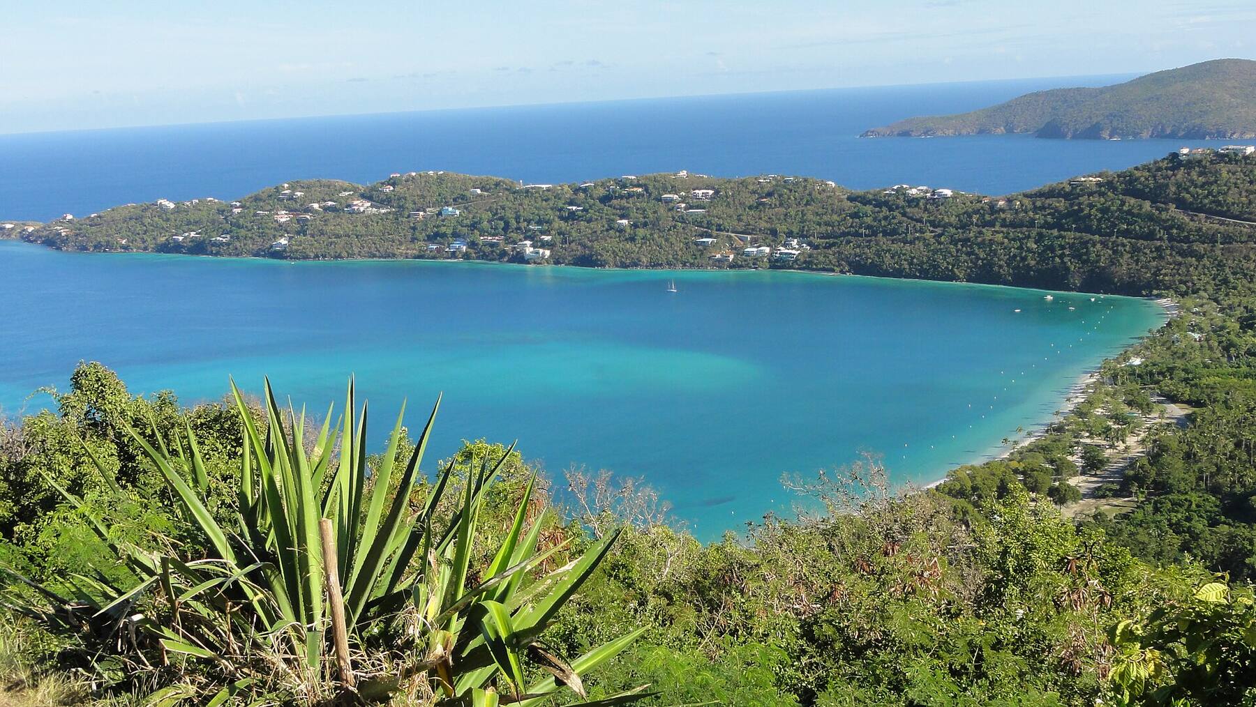
Lindquist Beach at the water's edge under the sea grape trees: the swimming buoys in the bay and the cays off the East End across the water (August 2013) — Gruepig, CC BY-SA 4.0, via Wikimedia Commons (resized).
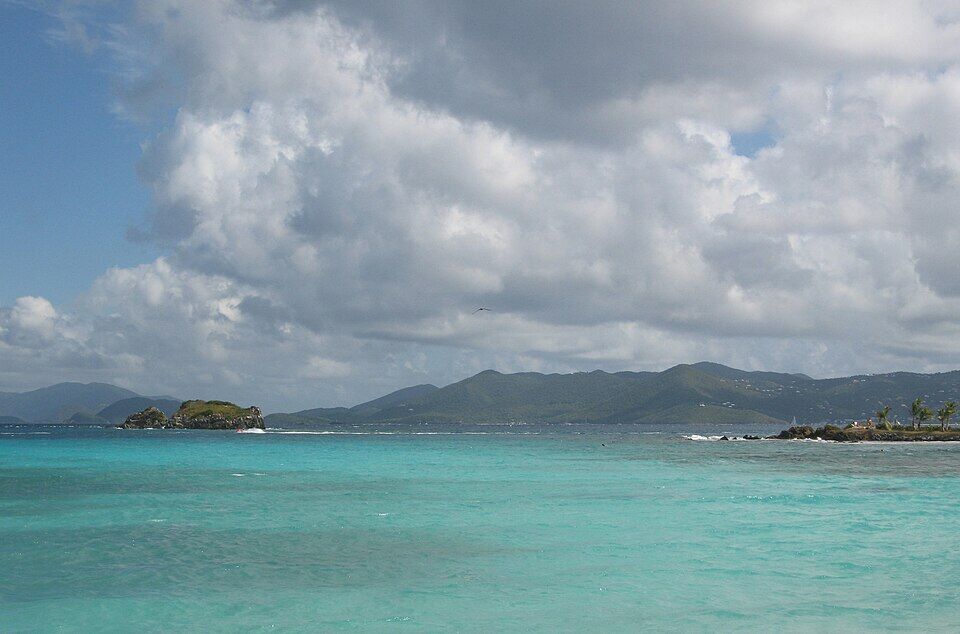
St. John across the water from the East End of St. Thomas near Sapphire Beach, with the rocky islet off Sapphire on the left — Skellig2008 from New York City, USA, CC BY 2.0, via Wikimedia Commons (resized).
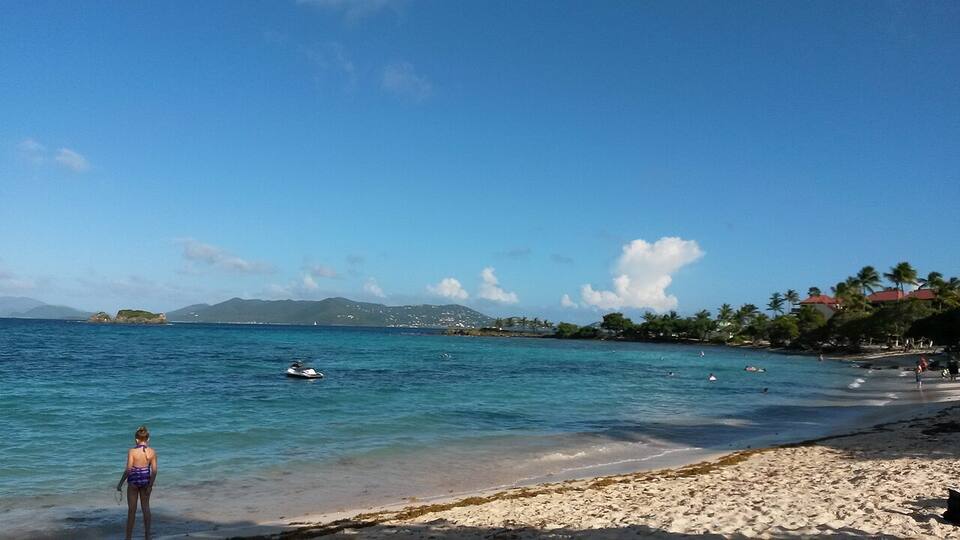
Sapphire Beach, the next bay south-east: Shark Island on the left and St. John across the water (November 2014) — PunctuatedArt, CC0, via Wikimedia Commons (resized).
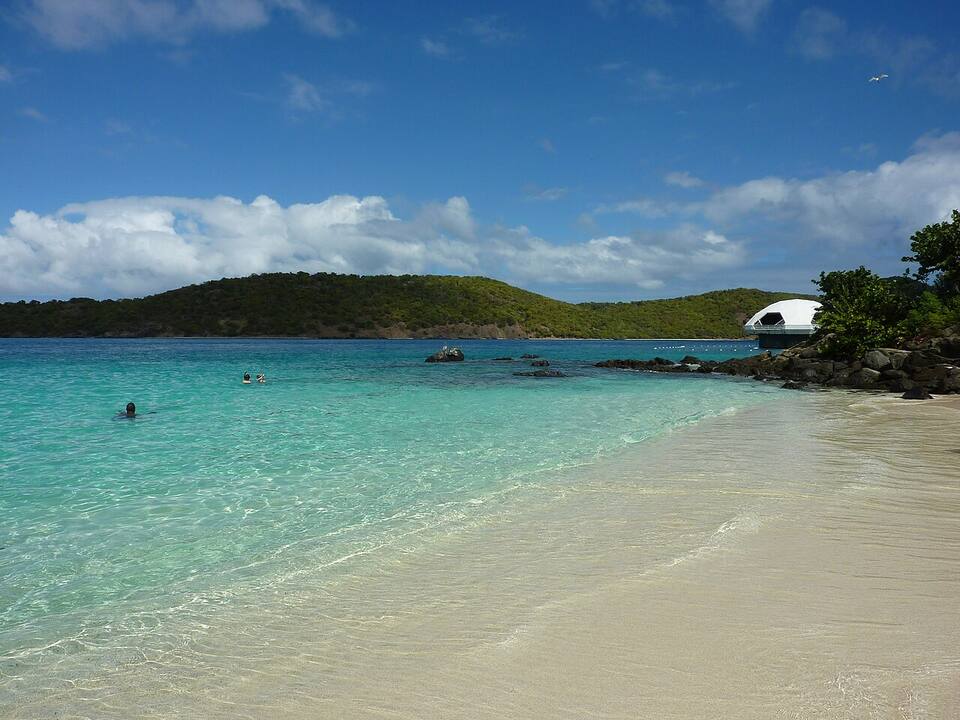
Coki Beach, the next beach west, looking out to Thatch Cay, with the Coral World observatory on the point — Gruepig, CC BY-SA 3.0, via Wikimedia Commons (resized).
The harbour at Red Hook, a mile down Route 38: sport-fishing boats in the marina and the hills of St. John beyond (December 2011) — Smallbones, CC0, via Wikimedia Commons (resized).
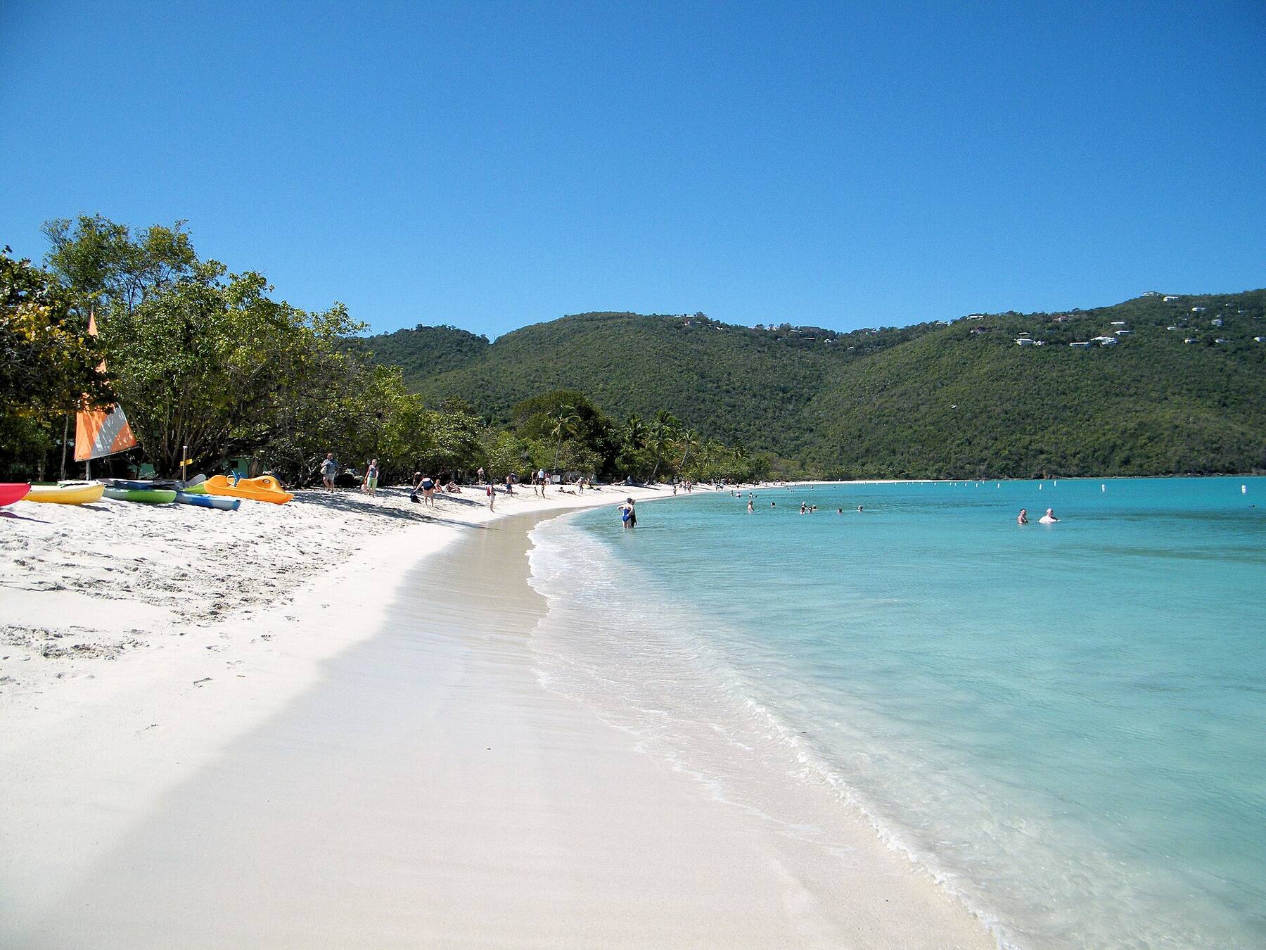
Magens Bay, the Authority's other park, on the north shore: the beach from its north end, with kayaks on the sand — Coolcaesar at English Wikipedia, CC BY-SA 3.0, via Wikimedia Commons (resized).
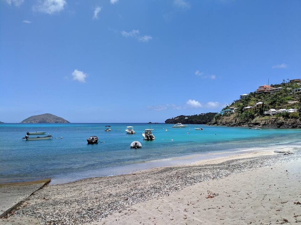
Small boats off the launch at Hull Bay, on the north side of St. Thomas — Gruepig, CC BY-SA 4.0, via Wikimedia Commons (resized).
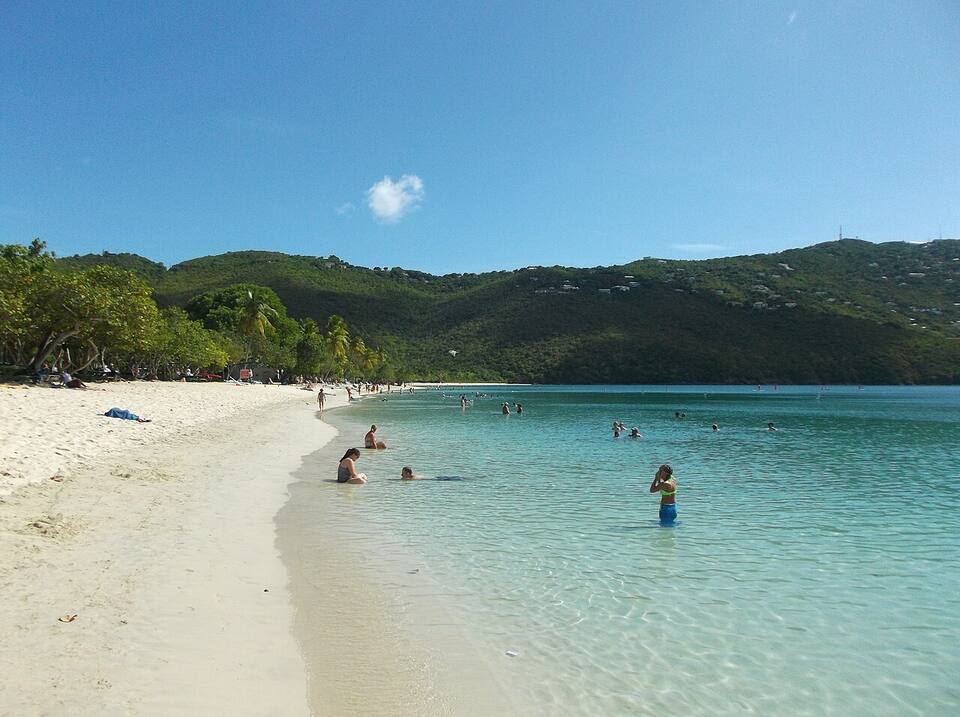
The sand and shallow, calm water at Magens Bay — socaltraveler, CC BY-SA 3.0, via Wikimedia Commons (resized).
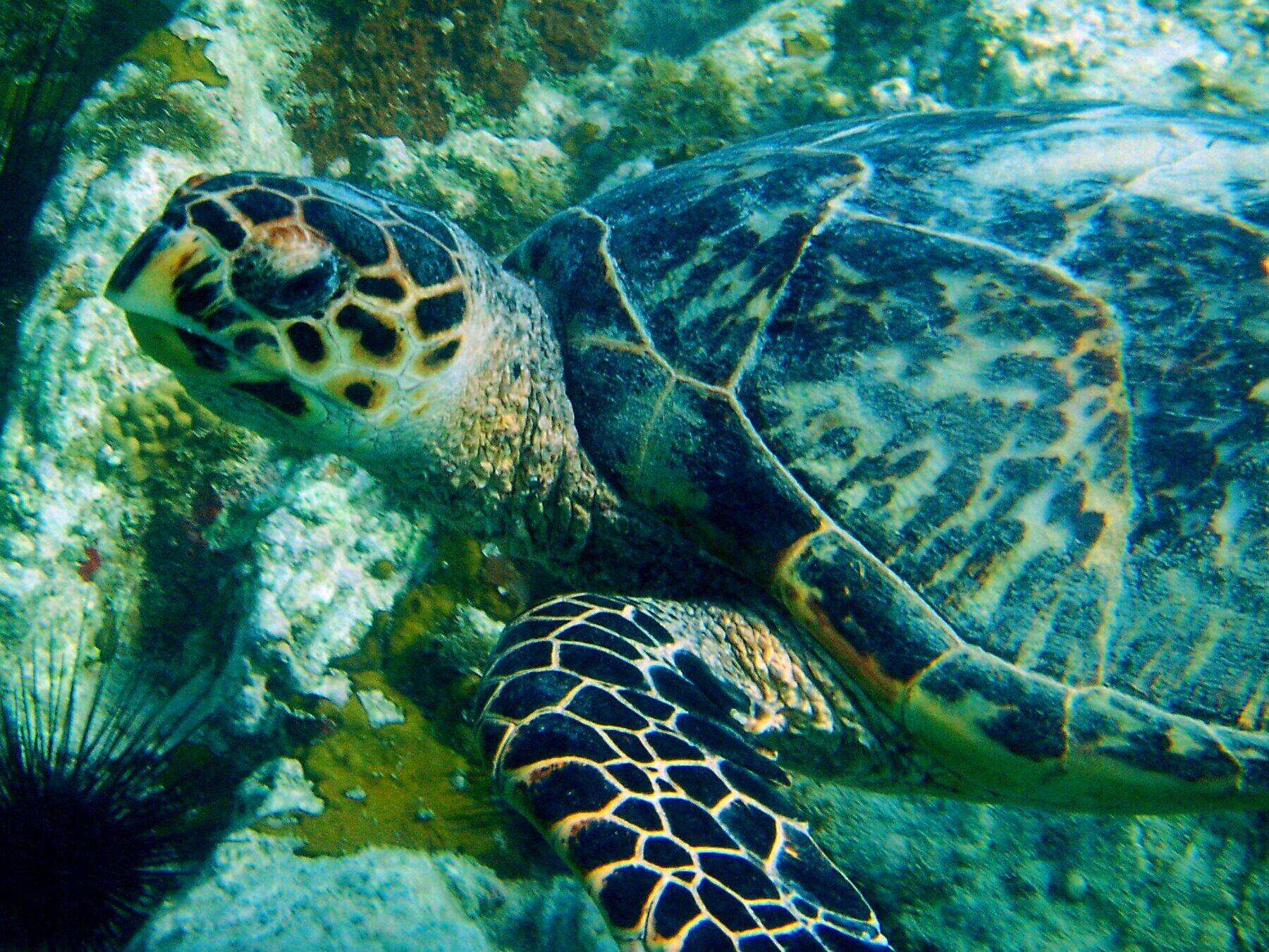
An adult hawksbill turtle over the rocks and coral at Secret Harbor, with a long-spined sea urchin in the corner (2004) — Becky A. Dayhuff, Environmental Educator, NOAA, Public domain, via Wikimedia Commons (resized).
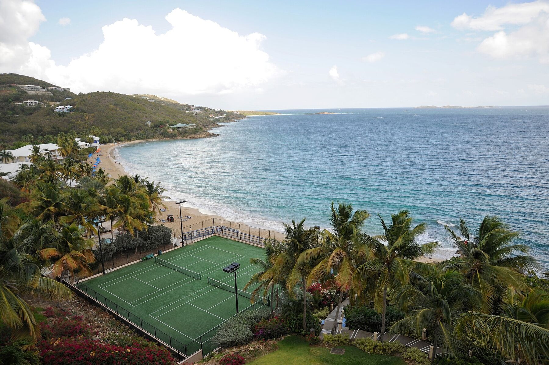
Morningstar Beach from the Frenchman's Reef bluff in May 2009, looking east along the sand: the tennis courts below, palms and beach umbrellas, the headland at the far end and the open sea to the south — Fred Hsu, CC BY-SA 3.0, via Wikimedia Commons (resized).
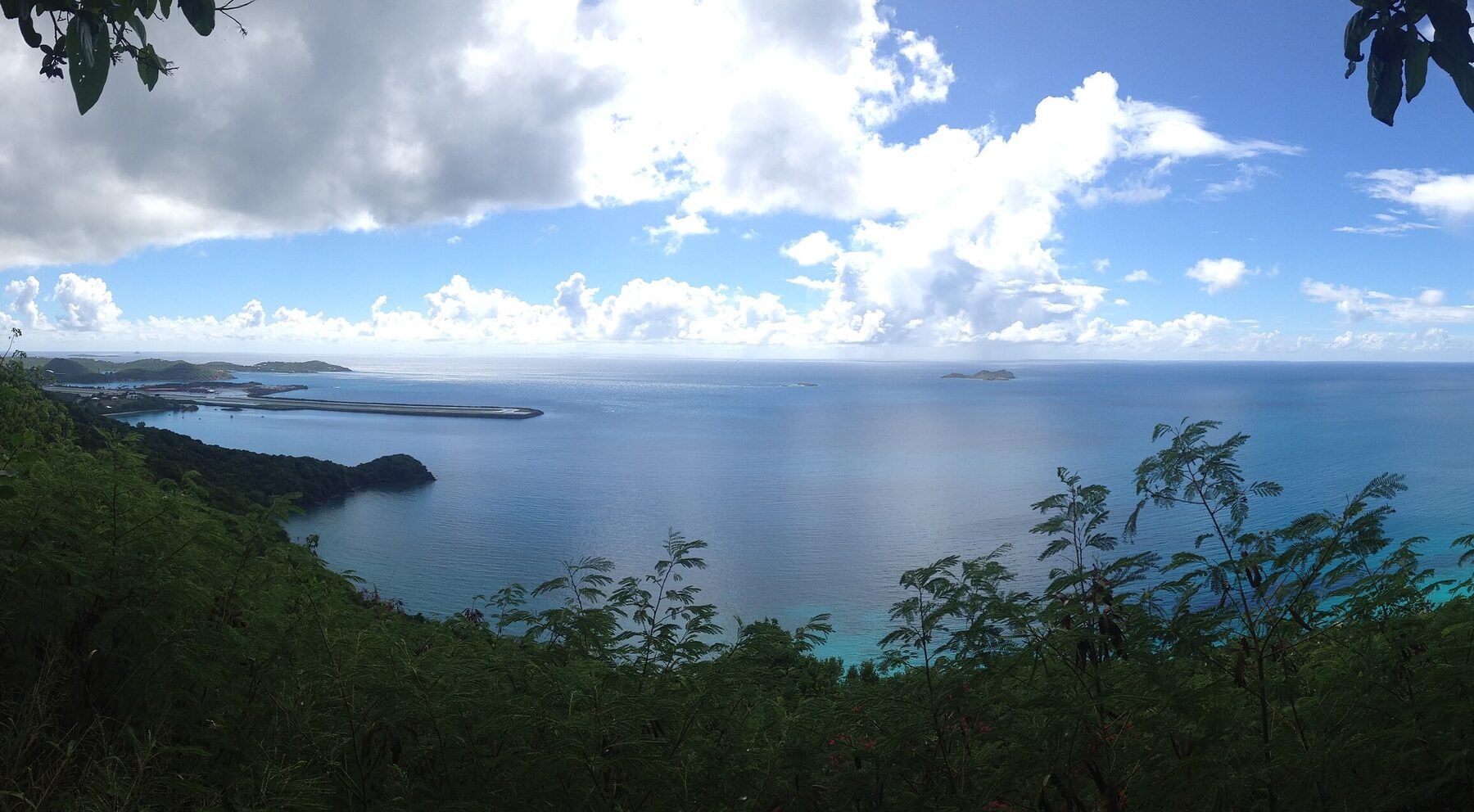
Brewers Bay from the hillside above its north shore in September 2013: the calm bay below, a wooded point, and beyond it the airport runway reaching out into the sea (cropped from a panorama) — Kberg115, CC BY-SA 3.0, via Wikimedia Commons (cropped and resized).
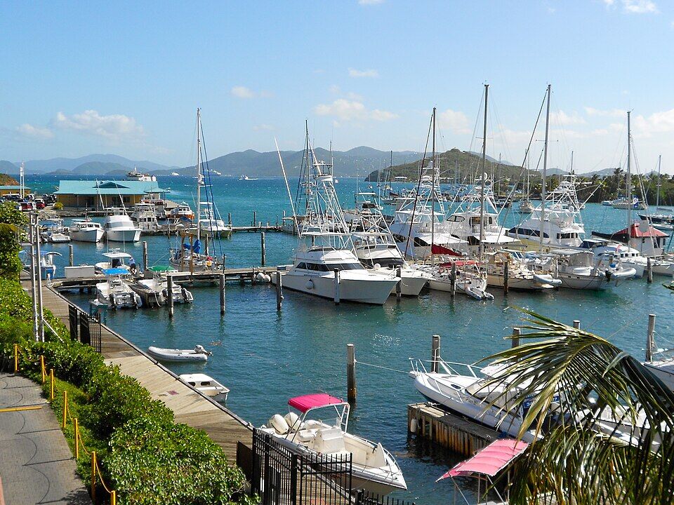
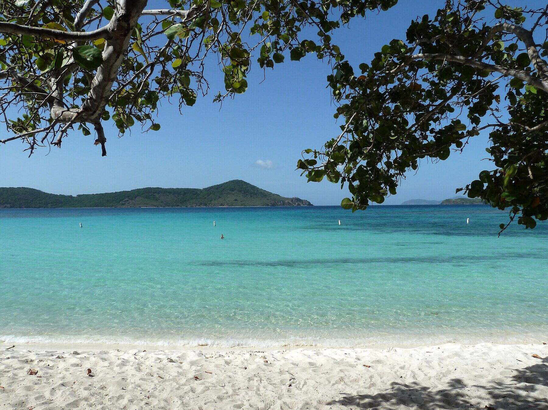 Photo: Gruepig, CC BY-SA 4.0
 Skip today today
 Good today
 Skip today today
 Skip today today
 Skip today today