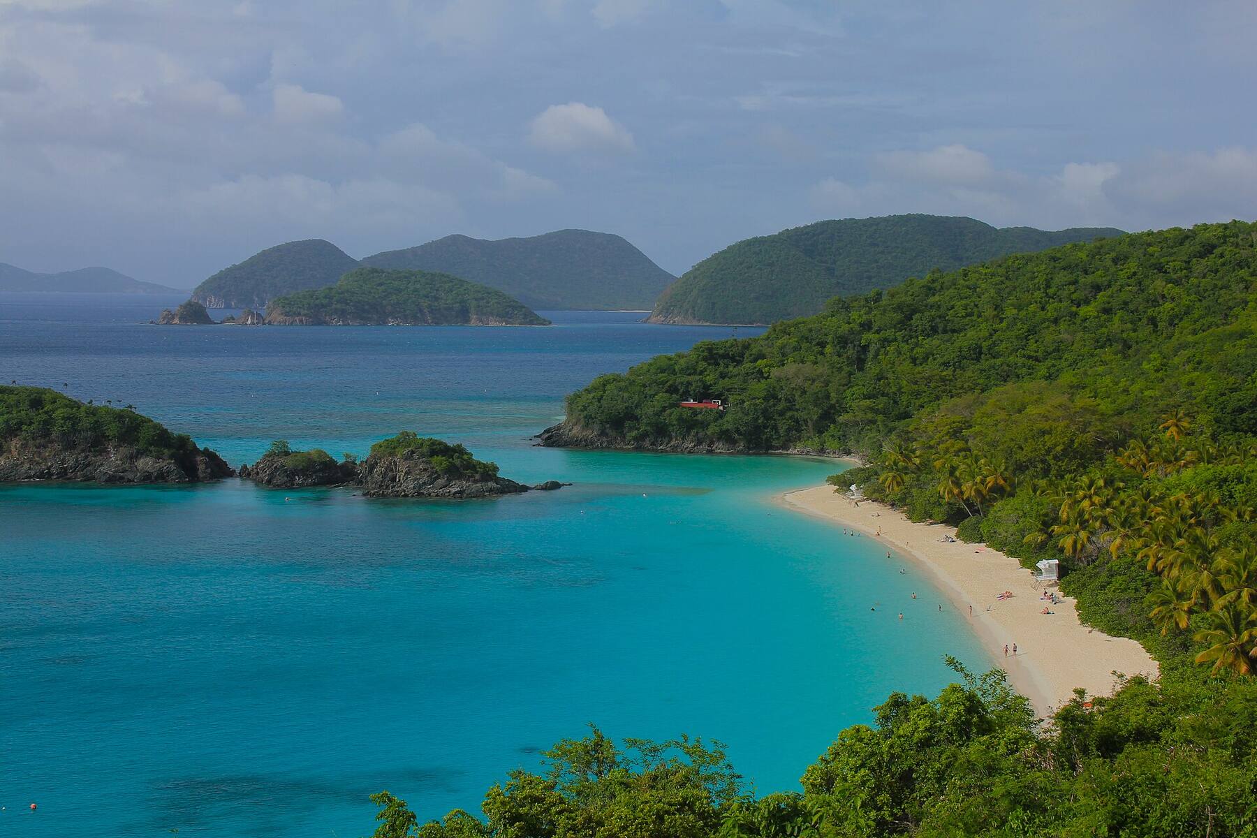
A third of a mile of sand along the North Shore Road, inside Virgin Islands National Park: shallow, sheltered water where green sea turtles graze the seagrass a short swim from the beach. Free, with no gate, a short drive from the Cruz Bay ferry dock — and the place on St. John people go to see a turtle.
The north shore of St. John, U.S. Virgin Islands, on the North Shore Road (Route 20) between Cinnamon Bay and Francis Bay
The beach
About 0.3 mile of sand right beside the road, facing north-west into a shallow, sandy bay
Run by
Virgin Islands National Park (the National Park Service). The land behind the beach joined the park between 2009 and 2013
Entry
Free: the park charges no entrance fee (only Trunk Bay has a day fee)
Hours
No gate and no posted hours; no lifeguards
Turtles
Green sea turtles graze the seagrass in the middle of the bay, seen most often early in the morning and late in the afternoon
On the sand
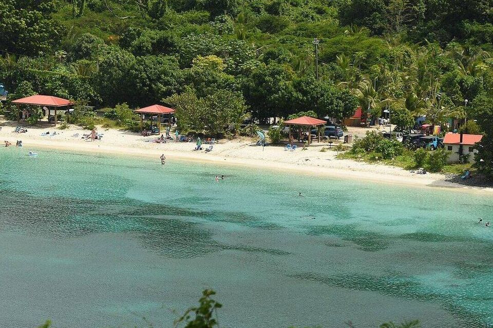
Restrooms and three shade pavilions at the south-west end; the parking lot is at the north-east end
Across the road
Maho Crossroads — a bar, food truck, boutique and rentals on private land — and Reef2Peak's kayak and paddleboard rentals
The water
Calm most days; winter north swells can cloud it, though it is less exposed than most of the north shore
Rules
No pets, no glass, no smoking on the beach, no drones — and never touch a turtle
Today
Is Maho Bay good today?
Skip today Thunderstorms in the forecast · Choppy — NW swell into the bay. If you go, the least bad stretch left is 10 am–1 pm.
Day
The call
Why
Best time
Cruise guests here
Sea at the beach
Rain
Today
Skip today
Thunderstorms in the forecast · Choppy — NW swell into the bay
10 am–1 pm
None
Some chop · 2.4 ft
Thunder
Tomorrow
Skip today
Rough — 3.6 ft WNW swell, shore break · Thunderstorms in the forecast
9 am–12 pm
None
Rough · 3 ft
Thunder
Sun, Nov 8
Think twice
Choppy — NW swell into the bay · No cruise crowd today
10 am–1 pm
None
Some chop · 2.5 ft
59%
Mon, Nov 9
Good
No cruise crowd today · Gentle water
12 pm–3 pm
None
Gentle · 1.5 ft
35%
Tue, Nov 10
Go
No cruise crowd today · Gentle water
2 pm–5 pm
None
Gentle · 1.1 ft
31%
The call is the same one our beach report makes, refreshed every half hour: the swell reaching the bay (Open-Meteo's marine forecast off the north shore), the cruise passengers our crowd model puts on the sand, NOAA's sargassum satellite and the rain forecast. It is a model, not a ranger's report — there are no lifeguards at Maho, so the sea in front of you has the last word. The bars under each call are the hours from 8 am to 5 pm. Today's beach report
Taxi fares from the ferry dock, the boat over from St. Thomas, today's beach and weather reads, the trails nearby and the island around it — each one opens the full page.
Maho Bay from OpenStreetMap: the sand, the North Shore Road behind it and the buildings along it. The restrooms and the three pavilions are at the south-west end of the beach and the parking lot at the north-east end, by the junction where the road climbs east (the National Park Service's description — OpenStreetMap does not map them yet, so they carry no pin). Tap a pin for its section.
Getting there
How to get to Maho Bay
Maho Bay is on the North Shore Road (Route 20), east of the Cruz Bay ferry dock past Hawksnest, Trunk and Cinnamon. The road runs right along the back of the sand, so there is no walk in: you step off the taxi or out of the car onto the beach. There is no bus; almost everyone comes by safari taxi from the dock or in a rented jeep.
Taxis charge the official per-person fare in the table; the drive time in it is Google's for the winding park road. Driving, keep left — and plan for parking: the park's lot at the north-east end of the beach has 33 spaces, and on a busy day the spaces along the road fill early. Park only where the road is wide enough to get fully off it, never on the vegetation.
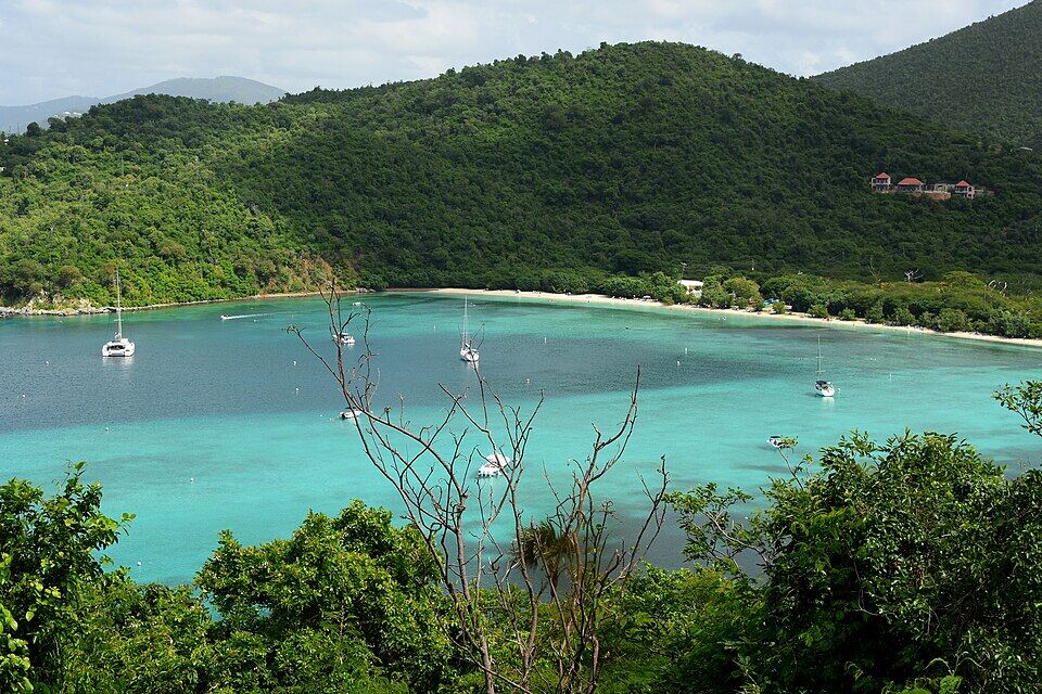
The whole curve of Maho Bay under the hills, from the hillside to the west (October 2022) Photo: Amaury Laporte, CC BY 2.0
Per person, one way: fares set by the VI Taxicab Commission (rates revised October 24, 2022); night, luggage and waiting surcharges apply. Drive times are Google's for an ordinary day. Fare calculator for any two stops
Agree the fare before you set off — it is per person, one way — and agree a pick-up time: Maho has no taxi stand, so a ride back is not guaranteed.
Come early for a parking space; the park's own advice is not to park on or in the vegetation, and stopping on the road itself is not allowed.
The road on past Maho climbs east to Annaberg and Leinster Bay, with a turn north for Francis Bay — a good loop if you have a car.
Keep left, keep to 20 mph (the park's limit unless posted otherwise) and watch for donkeys on the road.
By private boat:Maho Bay by day charter on BoatCharterBid, with what captains bid to go there.
Park rules
Maho Bay rules, costs and times
Maho is a national park beach: there is no gate, no entry fee and no one at a booth. The rules are the National Park Service's, set out in the Superintendent's Compendium for Virgin Islands National Park (signed June 29, 2026), and they apply on the sand, in the water and on the moorings.
What it costs
Beach entry
Free
Parking
Free
Mooring, overnight
$26 a night
… Senior or Access pass
$13 a night
Pavilion event permit
$50 + costs
Overnight is 5 pm to 7 am; a pavilion for a private event takes a special use permit, with a $50 application fee and the park's costs on top. Virgin Islands National Park charges no entrance fee; Trunk Bay's $5 amenity fee is the only day fee on St. John's park beaches. Mooring fees are paid on arrival through the Recreation.gov app or at the pay station at Francis Bay; boats may stay 7 nights a bay and 30 a year.
By the clock
The beach
No posted hours
Lifeguards
None
Reef2Peak rentals
10 am – 4 pm
Crossroads kitchen
11:30 am – 4 pm
Turtle table
Tue 9 – 11 am
The turtle table is the Friends of Virgin Islands National Park's, under the pavilions, back in fall 2026. Rental and kitchen hours (the kitchen's from Maho Crossroads' online ordering page) are the businesses' own, as published in October 2026, and can change in the off-season. The National Park Service says turtles are seen most often in the early morning and late afternoon.
What the park allows
✓Food, drinks and coolers — and alcohol — just not in glass
✕Glass bottles and containers — on the beach, its walkways and pavilions
✕Touching, chasing or feeding sea turtles — they are protected by federal and territorial law
✕Pets on the beach or in the water — service animals excepted; leashed pets are fine on trails
✕Smoking or vaping — on the beach or within 50 ft of the pavilions, picnic tables and restrooms
✕Drones — unless the superintendent approves it in writing
✕Sunscreen with oxybenzone, octinoxate or octocrylene — banned in the park and across the territory
✕Fishing in the swim area or mooring field; spearguns anywhere in the park
✕Jet skis, and motor or sail boats inside the swim buoys
✕Generators, balloons, ground fires — portable grills only
Maho is a simple park beach: the facilities sit at the south-west end, the parking lot at the north-east end, and everything else — food, drinks, rentals — is across the road on private land. Prices are the businesses' own, as listed in October 2026.
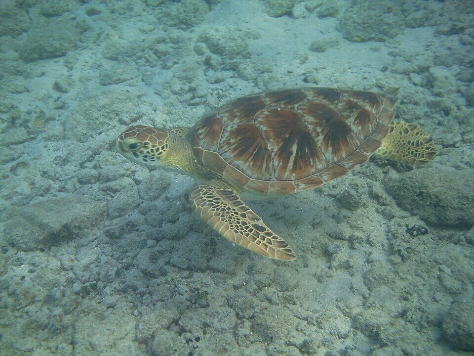
The seagrass beds in the middle of this shallow bay are where green sea turtles feed — the park's sea turtle coordinator has called Maho one of the most important green turtle feeding grounds in the Virgin Islands. The National Park Service says they are seen most often early in the morning and late in the afternoon. Float, don't chase: the Friends of Virgin Islands National Park ask snorkelers to stay six feet away (the coordinator said six to ten feet in 2022) and never touch one; if a turtle swims close, keep still. On Tuesday mornings in season, from 9 to 11, the Friends' turtle team sets up a table under the pavilions to answer questions; it returns in fall 2026.
The restrooms are at the south-west end of the beach. Near them are three shade pavilions built in 2019 to replace the ones the storm destroyed — two 10 by 10 feet and one 10 by 20 — and the one next to the accessible parking space has a paved floor. The park also lists picnic tables, and the pavilions can be booked for a private event with a park permit. It lists no showers and no lifeguards.
Across the North Shore Road, on private land inside the park's boundary, Maho Crossroads has run since 2019 as a solar-powered pop-up: a tiki bar on a trailer, a food truck in an old VW bus, the Love Maho beach boutique, shaded seating and games. Its online ordering page lists the kitchen from 11:30 am to 4 pm. You can carry food and drinks across to the beach — leave the glass behind.
Two outfits rent at Maho. Reef2Peak, 10 am to 4 pm daily, lists paddleboards at $30 an hour ($75 a day), single sit-on-top kayaks at $20 an hour, tandems at $25, snorkel gear at $20 a day and chairs at $5 — prices on a page last updated around 2020, so confirm them. Maho Crossroads' rental store lists a clear kayak at $40 an hour, an ocean kayak at $35, an inflatable paddleboard at $30, mask and fins at $20 a day and a beach chair at $20 a day, with floats and shade tents too.
Maho and Francis Bay share one of the park's mooring fields: white-and-blue balls for boats up to 60 ft, purple ones for 61 to 100 ft, and the designated Francis/Maho anchorage further out for larger yachts. Boats may anchor only in that anchorage, and only when no mooring of their size is free. Dinghies tie up to the green tether buoys off Maho and Little Maho rather than landing among swimmers. Staying overnight (5 pm to 7 am) costs $26 a night.
The middle of the bay is sand and seagrass — turtle country. For reef fish and coral, swim to the edges: the National Park Service says coral and fish run along the western side of the bay and grow more plentiful toward the point between Maho and Cinnamon, and the rocks to the north-east have their own reef with angelfish and, if you are lucky, an octopus in the crevices. Stand only on sand.
From the north-east end, a kayak or paddleboard follows the rocky shore round to Little Maho, a small beach in the next cove, and on into Francis Bay. The land behind Little Maho is park staff housing and closed to the public, so stay on the water. Calm most of the year; on a winter north-swell day, stay close in.
Just north of Maho, a flat half-mile trail from the Francis Bay parking lot runs to the salt pond, where herons, stilts, ducks and pelicans feed, and comes out on Francis Bay's beach. It takes a few minutes by car from Maho and suits any hour of the day.
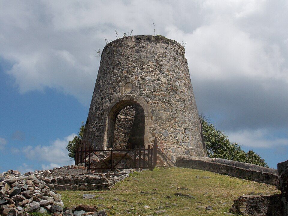
Up the road east of Maho, the windmill tower, horse mill and boiling house of the Annaberg plantation look out over Leinster Bay to the BVI. Free, in the national park, with parking at the top and the trail along Leinster Bay starting below.
If Maho's turtles leave you wanting reef, the next step is Waterlemon Cay: park at Annaberg, walk the flat Leinster Bay Trail for under a mile and swim out to the cay, ringed by coral. Water shoes help on the rocky entry, and the current on the cay's north side can be strong.
Round the point to the west, Cinnamon Bay is the island's longest north-shore beach, with water-sport rentals, the park's campground and sugar-mill ruins behind it. It is a short drive back along the North Shore Road, not a walk along the shore.
Maho Crossroads, across the road, is the food at Maho: a food truck and a tiki bar rather than a restaurant, with shaded seats on its own land. Many people simply bring a picnic and a cooler — the park allows food and alcohol on the beach, but no glass — and eat at the picnic tables or in a pavilion.
For a sit-down meal, Cruz Bay's restaurants are back along the North Shore Road toward the ferry dock, and Coral Bay's bars are over the hill to the east. Many St. John kitchens close for part of August to October, so check before you go.
Maho Bay beach from the hillside to the west: the sand, the park's three red-roofed pavilions under the trees and swimmers in the shallows (October 2022) Photo: Amaury Laporte, CC BY 2.0
At Maho
Maho CrossroadsTiki bar, food-truck lunch, the Love Maho boutique; kitchen 11:30 am–4 pm on its ordering page.
Bring your ownFood, drinks and coolers are fine on the beach; glass is not. Picnic tables and three shade pavilions at the south-west end.
Further afield
Cruz BayThe island's restaurants and bars, back along the North Shore Road by the ferry dock.
Coral BayThe quieter east end, over the hill past Annaberg.
Weather & sea
Maho Bay weather and the best time to go
Warm all year: highs in the mid-80s °F, a steady easterly trade wind, and short tropical showers rather than all-day rain. December to April is the dry, busy season, when Maho's parking fills earliest; June to November is hurricane season, with the peak from mid-August to mid-October.
Maho opens to the north-west, away from the easterly trade winds, so the water is flat on most days. Winter north swells are the exception: the National Park Service says they can stir up Maho and Francis Bay and cut the visibility, though both are less affected than the rest of the north shore. The call at the top of this page reads the swell every half hour.
The next 7 days on St. John
Day
Sky
High / low
Rain
Wind
Seas offshore
Today
Thunderstorms
85° / 78°F
90%
SW 20 mph, gusts 28
3 ft
Tomorrow
Thunderstorms
83° / 80°F
92%
WSW 19 mph, gusts 28
3.4 ft
Sun, Nov 8
Drizzle
84° / 81°F
57%
WSW 13 mph
3 ft
Mon, Nov 9
Drizzle
83° / 82°F
18%
NNW 5 mph
2.2 ft
Tue, Nov 10
Drizzle
83° / 80°F
25%
NE 11 mph
2 ft
Wed, Nov 11
Overcast
84° / 82°F
20%
ENE 11 mph, gusts 17
2.2 ft
Thu, Nov 12
Drizzle
84° / 82°F
27%
ESE 12 mph
2.1 ft
Open-Meteo forecast for St. John, refreshed every half hour. The seas are offshore; how much of it reaches the sand is the call above. NWS alerts & marine forecast · North swell season
Sea temperature by month
80°Jan
80°Feb
80°Mar
81°Apr
83°May
85°Jun
85°Jul
85°Aug
86°Sep
86°Oct
84°Nov
82°Dec
Daily-mean sea-surface temperature off St. John, averaged 2021–2024 (Open-Meteo marine reanalysis): warmest in Sep (86.3°F), coolest in Feb (79.7°F).
Cruise crowds
Cruise ships and the crowd at Maho Bay
No cruise pier was ever built on St. John: small ships — expedition ships, sailing yachts and small luxury vessels — anchor off Cruz Bay and tender their passengers ashore, and our crowd model sends some of their passengers to Maho. The numbers below are those ships only. The big ships in Charlotte Amalie on St. Thomas send day-trippers over on the ferry too, mostly to Trunk Bay; our model does not count them at Maho.
7 of the next 31 days have a ship in Cruz Bay. The busiest at Maho Bay, by our model:
Wed, Nov 11 — 1 ship, 388 guests in port. Quiet: ~60 expected here
Mon, Nov 16 — 1 ship, 312 guests in port. Quiet: ~50 expected here
Sun, Nov 22 — 1 ship, 388 guests in port. Quiet: ~60 expected here
Wed, Nov 25 — 1 ship, 1,473 guests in port. Some crowd: ~250 expected here, 10 am–3 pm
Mon, Nov 30 — 1 ship, 312 guests in port. Quiet: ~50 expected here
Fri, Dec 4 — 1 ship, 388 guests in port. Quiet: ~60 expected here
Our crowd model, not a head count: it puts about 15% of the passengers on the ships anchored off Cruz Bay on Maho Bay, starting about 75 minutes after the ship arrives and gone 90 minutes before it sails; past 800 on the sand we call it packed. The same model makes the call at the top of the page and on our beach report.
No — there is no public live webcam at Maho Bay that we can embed, and we would rather say so than show a still photo dressed up as live. The nearest live camera is at Cinnamon Bay, the next beach west: flat water there usually means Maho is calm too.
The estate behind the bay holds ruins from the Danish colonial era, 1700 to 1860, and may hold older Taíno sites.
1970
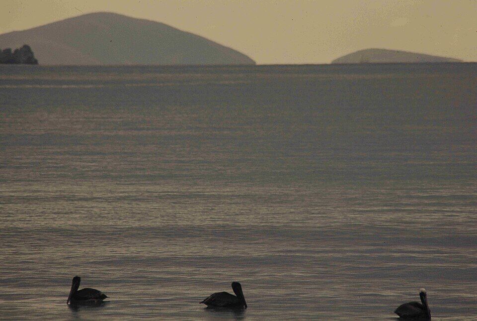
Pelicans for the park
During the Tektite II undersea project in the park, a photographer records the brown pelicans in Maho Bay; the National Park Service keeps the pictures.
1976
Maho Bay Camps
Stanley Selengut opens Maho Bay Camps, a campground of tent cottages on 14 waterfront acres at Maho Bay, on a 36-year lease.
November 2003
The beach washes out
Heavy rain sends runoff and sediment into the bay; a washout takes most of the beach and sections of the road, and the park begins replanting the beach.
September 24, 2007
The Trust for Public Land buys Estate Maho Bay
The Trust buys the shares of 11 heirs of Harvey Monroe Marsh in the 419-acre estate, with a quarter mile of beachfront, for $19 million, to hold it until the park can pay; the park already owned three of the shares.
June 1, 2012
A pavilion for hire
The park opens the renovated Maho Bay pavilion for events, booked by special use permit.
2013
Maho Bay Camps closes
The 13.8 acres under the campground are sold that winter for $13.95 million to a buyer who is not named; Selengut, unable to get a new long-term lease, sets May 15 as the last day for guests, after 37 years.
December 2013
The beach joins the park
The Trust sells the National Park Service the last parcels of the 225 acres it set aside for the park, with $2.5 million from the Land and Water Conservation Fund — the end of sales begun in 2009 that took in all of Maho Bay beach and the hillside behind it. It was reported as the park's largest single addition since its creation in 1956. (St. John Tradewinds gives the last sale as 72 acres in its headline and 74 in its text.)
December 12, 2017
Reopened after Irma and Maria
The beach reopens three months after the hurricanes. Most of its structures are damaged beyond repair and removed, divers clear debris from the swim area, and the road along the beach runs one lane while it is repaired.
2018
A parking lot that stays put
The park rebuilds the lot at the north-east end as 33 spaces of gravel in a permeable grid, paid for by the Friends of Virgin Islands National Park, so rain no longer washes it into the bay.
May 2019
New pavilions
Three new shade pavilions, smaller and built to stand up to storms, replace those lost in 2017.
2019
Maho Crossroads
John Yob opens a solar-powered tiki bar and food truck on two acres of private land across the road; in January 2022 the territory's Board of Land Use Appeals turns down an appeal against its permit.
Brown pelicans in Maho Bay at dusk, April 1970, photographed for the park during the Tektite II undersea project Photo: Milo Woodbridge Williams, Public domain
The National Park Service says Maho's turtles are seen most often in the early morning and late afternoon — which is also when the parking is easiest and the water calmest.
Give them room
Stay about six feet away, don't touch and don't chase; if one swims close, keep still. Touching, chasing or harassing one carries a $5,000 fine, the park's turtle program said in 2022.
Reef-safe sunscreen is the law
The park and the territory ban sunscreens with oxybenzone, octinoxate or octocrylene. Bring a mineral (zinc or titanium) one, or wear a rash guard as the park suggests.
No lifeguards
Maho is calm and shallow, but no one is watching: keep children close and swim inside the swim-area buoys, which boats must stay outside.
Leave nothing in the car
Roadside spaces and the lot are busy and unattended; take valuables with you or leave them at home.
Mind the donkeys
Feral donkeys wander the North Shore Road and the beach. Feeding wildlife is against park rules, and they will help themselves to an unguarded lunch.
Yes — Maho is the place on St. John the National Park Service sends people to see sea turtles. Green turtles graze the seagrass in the middle of the shallow bay, most often in the early morning and late afternoon. Watch from the surface, stay about six feet away, and never touch, chase or feed one: they are protected by federal and territorial law.
Is Maho Bay free?
Yes. Maho Bay is a Virgin Islands National Park beach with no gate and no entrance fee, and parking is free. On St. John only Trunk Bay charges a day-use fee. Boats pay $26 a night to stay on a park mooring overnight.
How do you get to Maho Bay from Cruz Bay?
Take the North Shore Road (Route 20) east from Cruz Bay past Hawksnest, Trunk and Cinnamon bays; Maho is beside the road, about 18 minutes (8.8 km) from the ferry dock. Safari taxis wait at the dock and charge the official fare of $17 for one rider, $12 each for two or more. In a rental car, drive on the left.
How much is a taxi to Maho Bay?
St. John taxis charge fixed per-person fares set by the VI Taxicab Commission. From Cruz Bay it is $17 for one rider, $12 each for two or more; from Coral Bay $12 for one rider, $9 each for two or more; from the Westin $18 for one rider, $15 each for two or more. Night, luggage and waiting surcharges apply, and there is no taxi stand at Maho, so arrange your ride back.
Where do you park at Maho Bay?
In the National Park Service lot at the north-east end of the beach, which has 33 spaces, or along the road where it is wide enough to pull fully off. Parking is free. Do not park on the vegetation or stop on the road itself, and come early: parking at Maho is often in short supply, the St. John Source noted in 2025.
Are there restrooms at Maho Bay?
Yes, at the south-west end of the beach, with three shade pavilions and picnic tables beside them. The park lists no showers. Food, drinks and rentals are across the road at Maho Crossroads.
Can you rent kayaks or paddleboards at Maho Bay?
Yes. Reef2Peak rents kayaks, paddleboards, snorkel gear, chairs and umbrellas at Maho from 10 am to 4 pm daily, and Maho Crossroads, across the road, rents clear kayaks, paddleboards, snorkel gear, chairs, floats and shade tents. Both publish their prices online.
Is Maho Bay good for kids?
It is one of St. John's calmest, shallowest beaches, with sand underfoot and the road right behind it, so there is no walk in. There are no lifeguards, though, so keep children close and inside the swim-area buoys. Winter north swells can make the water rougher for a day or two.
Can you bring alcohol or dogs to Maho Bay?
Alcohol, yes — park rules allow it on the beach, but glass bottles and containers are banned on all park beaches, walkways and pavilions. Dogs, no: pets are not allowed on any park beach or in the water (service animals excepted); leashed pets may walk the park's trails.
Who owns Maho Bay?
The beach is part of Virgin Islands National Park. The Trust for Public Land bought Estate Maho Bay from the heirs of Harvey Monroe Marsh in 2007 and sold 225 acres of it, including all of the beach, to the National Park Service between 2009 and December 2013. Some private lots remain in the hills, and Maho Crossroads sits on private land across the road.
Is there a Maho Bay webcam?
No public live stream we can embed. The nearest live camera is at Cinnamon Bay, the next beach west, whose water is a good guide to Maho's on most days.
Is Maho Bay the same as Mahoe Bay?
No. Maho Bay is this beach, on St. John in the U.S. Virgin Islands. Mahoe Bay, spelled with an e, is a small beach on the north-west coast of Virgin Gorda in the British Virgin Islands, by Mango Bay Resort — a different country, reached by ferry to Spanish Town. It has its own guide on this site.
Photo & map credits
Maho Bay beach from the hillside to the west: the sand, the park's three red-roofed pavilions under the trees and swimmers in the shallows (October 2022) — Amaury Laporte, CC BY 2.0, via Wikimedia Commons (cropped and resized).
The three shade pavilions at Maho Bay, rebuilt after the 2017 hurricanes, with beach chairs on the sand in front (detail of the photo above, October 2022) — Amaury Laporte, CC BY 2.0, via Wikimedia Commons (resized).
Maho Bay from the hillside: the beach running along the foot of the forested hills, with yachts on the moorings (October 2022) — Amaury Laporte, CC BY 2.0, via Wikimedia Commons (resized).
Yachts on the moorings in Maho Bay, seen over the trees from the hillside (October 2022) — Amaury Laporte, CC BY 2.0, via Wikimedia Commons (resized).
The whole curve of Maho Bay under the hills, from the hillside to the west (October 2022) — Amaury Laporte, CC BY 2.0, via Wikimedia Commons (resized).
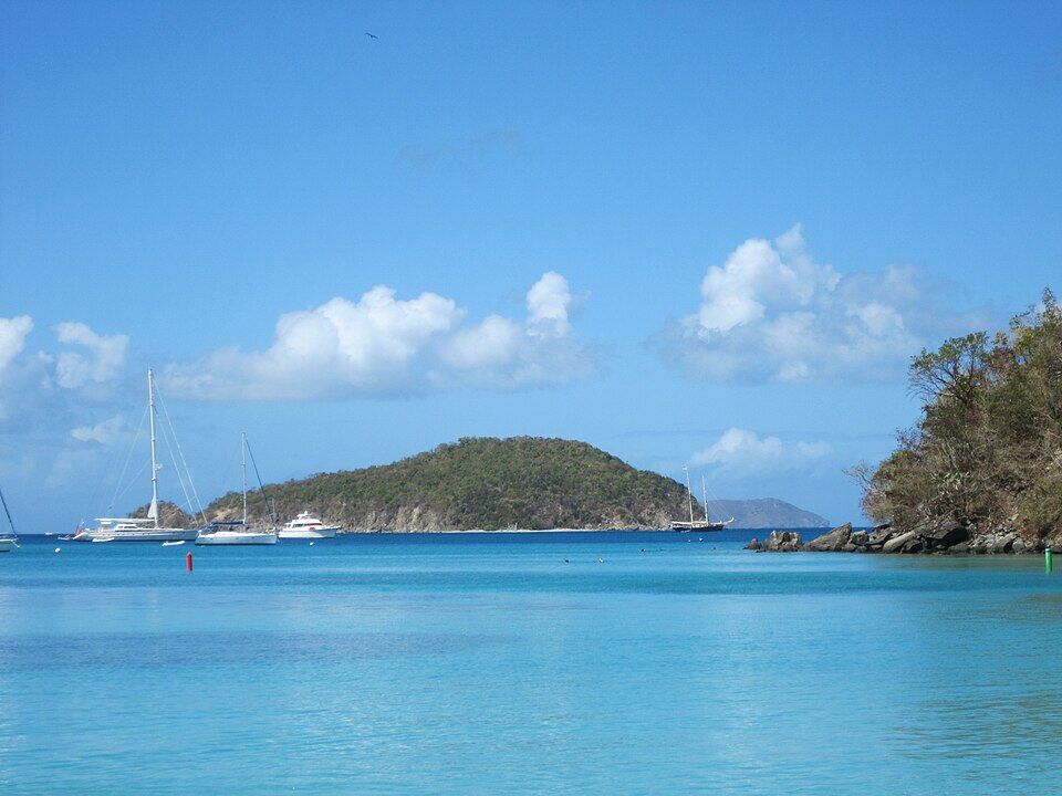
Looking out of Maho Bay toward Great Thatch, in the British Virgin Islands, with yachts at anchor (February 2011) — Thomas Kriese, CC BY 2.0, via Wikimedia Commons (resized).
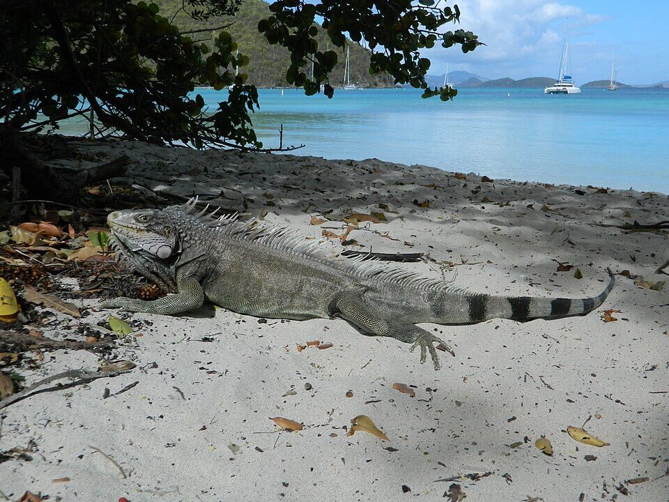
A green iguana resting in the shade at the north-east end of Maho Bay beach (April 2013) — olekinderhook, CC BY 3.0, via Wikimedia Commons (resized).
Brown pelicans in Maho Bay at dusk, April 1970, photographed for the park during the Tektite II undersea project — Milo Woodbridge Williams, Public domain, via Wikimedia Commons (resized).
The windmill tower at the Annaberg sugar plantation ruins, a few minutes east of Maho by road — Farragutful, CC BY-SA 4.0, via Wikimedia Commons (resized).
A green sea turtle at Leinster Bay, near Waterlemon Cay, the next big bay east — Gruepig, CC BY-SA 3.0, via Wikimedia Commons (resized).
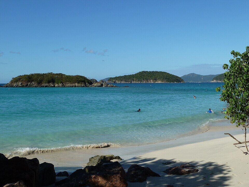
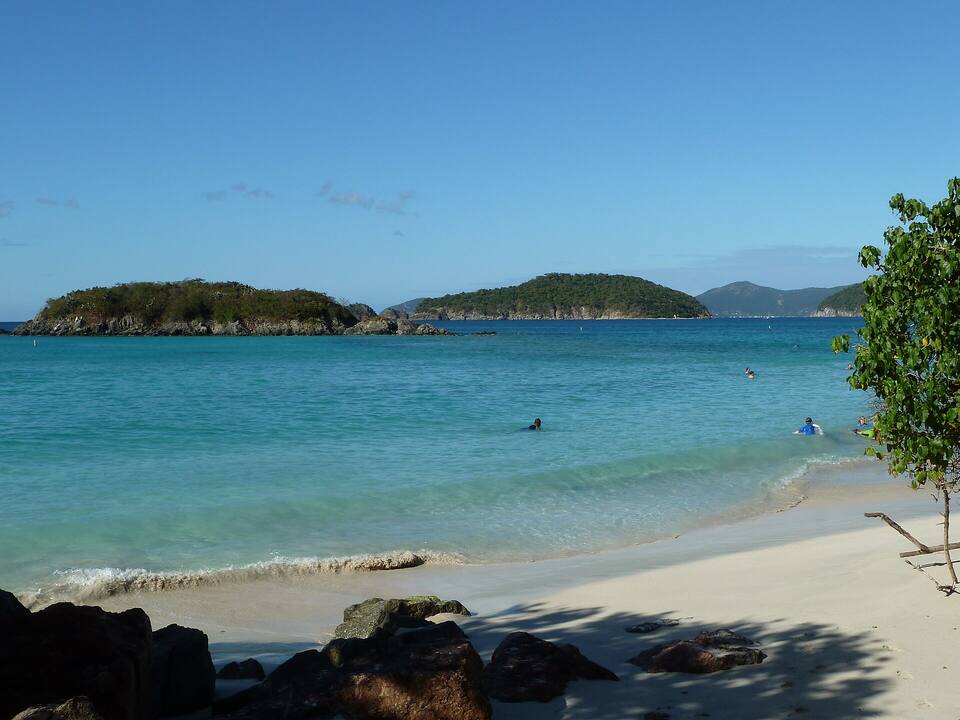
Cinnamon Bay, the next beach west, with Cinnamon Cay and Whistling Cay offshore (2011) — Gruepig, CC BY-SA 4.0, via Wikimedia Commons (resized).
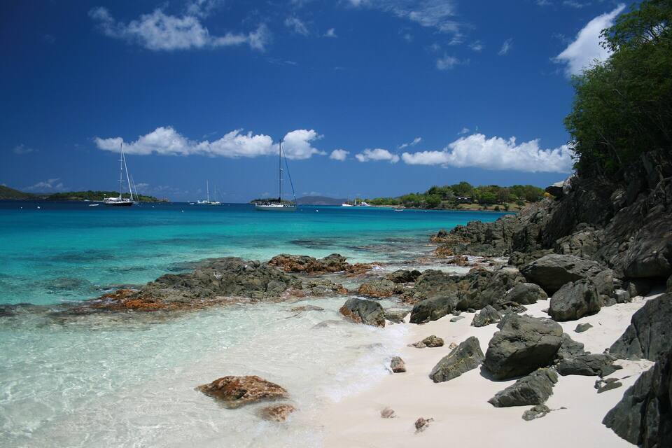
Honeymoon Beach on Salomon Bay, St. John — Bradley Furlow, CC BY-SA 4.0, via Wikimedia Commons (resized).
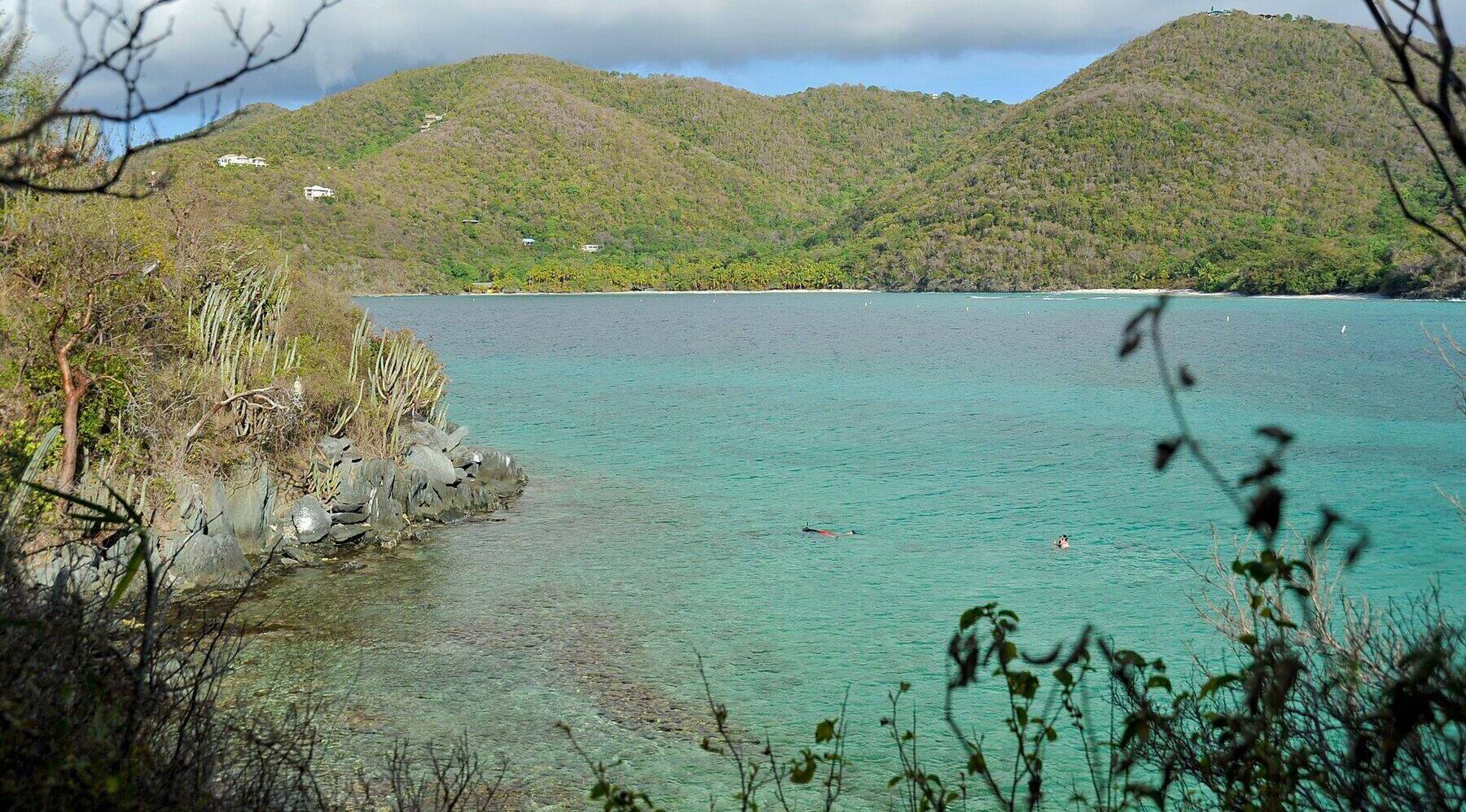
Hawksnest Bay from the rocks on its west shore in May 2009, looking across to the sand at the head of the bay, where Hawksnest Beach is; two snorkelers over the reef in the foreground — Fred Hsu (Wikipedia:User:Fred Hsu on en.wikipedia), CC BY-SA 3.0, via Wikimedia Commons (cropped and resized).
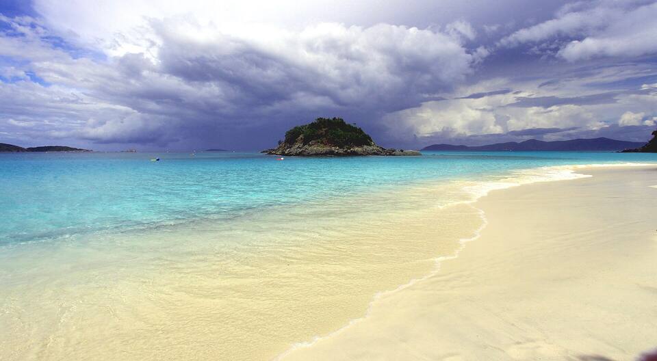
The beach at Trunk Bay with Trunk Cay offshore — Prayitno, CC BY 2.0, via Wikimedia Commons (resized).
Cinnamon Bay with Cinnamon Cay and Whistling Cay offshore — Gruepig, CC BY-SA 4.0, via Wikimedia Commons (resized).
Francis Bay beach in October 2022, looking north along the shore to the wooded slopes of Mary Point — Amaury Laporte, CC BY 2.0, via Wikimedia Commons (cropped and resized).
Leinster Bay and Waterlemon Cay from the Leinster Bay Trail — Eoghanacht, CC0, via Wikimedia Commons (resized).
Salt Pond Bay from the Ram Head Trail in April 2022: the bay on the left, with the beach at its head and the cobbles of Blue Cobblestone Beach nearer, the ridge of the Ram Head peninsula, and houses on the hill above — Eoghanacht, CC0, via Wikimedia Commons (resized).
Little Lameshur Bay in October 2022: sand and pebbles at the water's edge, a snorkeller in the clear shallows and the wooded headland across the bay — Amaury Laporte, CC BY 2.0, via Wikimedia Commons (resized).
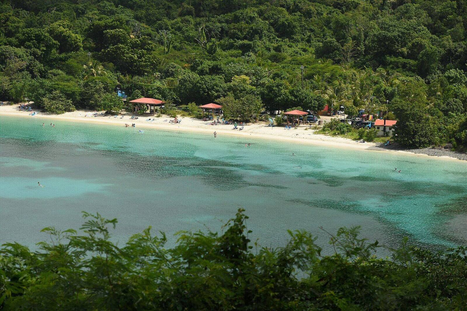
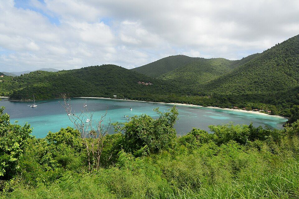
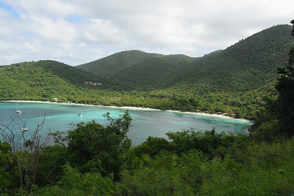 Photo: Amaury Laporte, CC BY 2.0
 Skip today today
 Skip today today
 Skip today today
 Skip today today
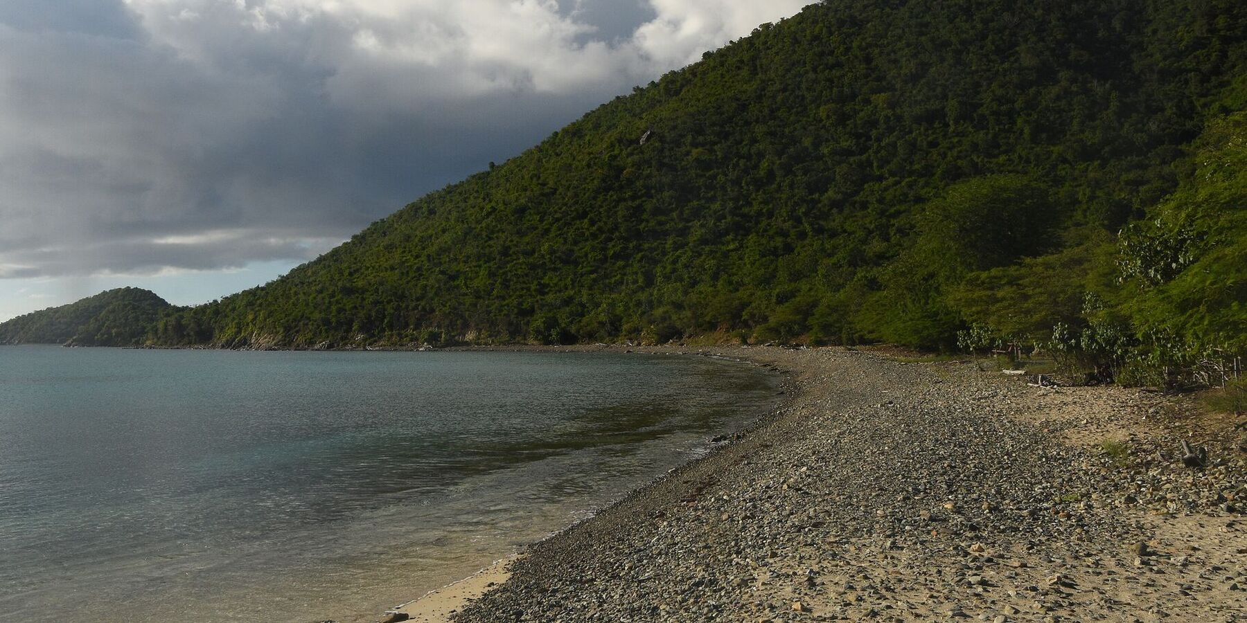 Skip today today
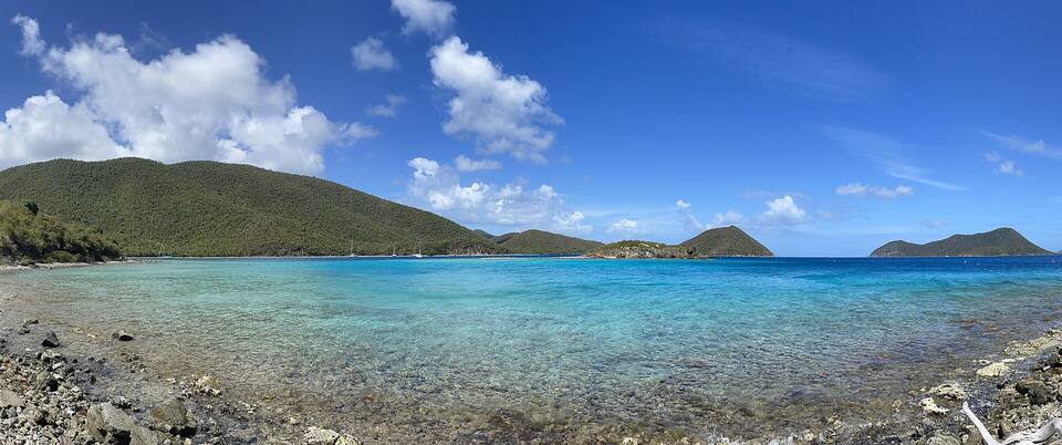 Skip today today
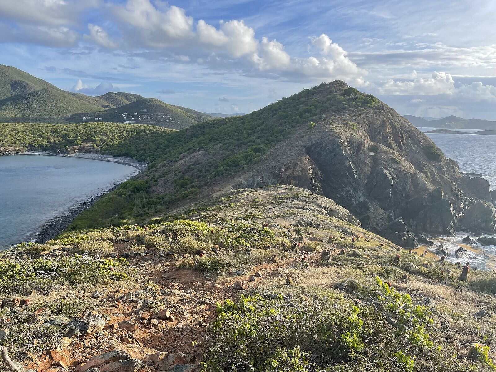 Think twice today
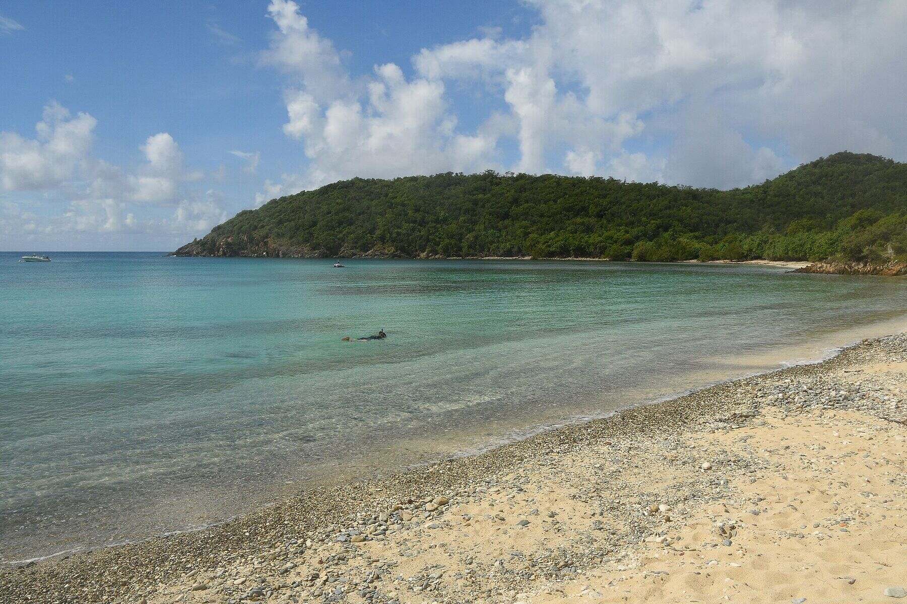 Skip today today