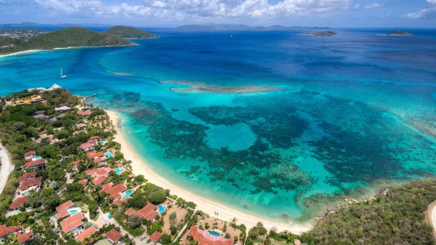
A short, curving beach on Virgin Gorda's north-west coast, below the road to North Sound and the villas on the hill, with Mango Bay Resort at its south end. It faces west-north-west, away from the trade wind, and is calm on most days. All BVI beaches are public. Looking for Maho Bay, the turtle beach on St. John? That is a different beach, in the U.S. Virgin Islands.
At a glance
Mahoe Bay in ten facts
Where
The north-west coast of Virgin Gorda, BVI, between Savannah Bay to the south-west and Nail Bay to the north, below the road to North Sound
Not to be confused with
Maho Bay on St. John, U.S. Virgin Islands — a different beach, in a different country, with its own guide
Two names
Mahoe Bay on the map; Mango Bay to the resort on its sand, whose address is Plum Bay Road, Mango Bay
The beach
A short curve of sand, about 250 m on the line our beach model traced; OpenStreetMap has no outline of it
Facing
West-north-west, toward Tortola's north coast and the Dogs, with the island behind it to the east
Entry
Free. All BVI beaches are public, the Minister told the House of Assembly in 2023
The resort
Mango Bay Resort: 19 villas, suites and studios along the beach, built in the mid-1980s, it says
Food
The Drop Off, the resort's café, bar and restaurant at its dock, opens December 2026 to guests and the public, it says
By boat
The resort's mooring balls and dinghy dock, or anchor in Pond Bay or Savannah Bay next door, on the resort's own page
Run by
Nobody in particular: it is not one of the National Parks Trust's six Virgin Gorda parks
Today
Is Mahoe Bay good today?
Skip today Rough — 3.8 ft NNW swell, shore break · Thunderstorms in the forecast. If you go, the least bad stretch left is 9 am–12 pm.
Day
The call
Why
Best time
Cruise guests here
Sea at the beach
Rain
Today
Skip today
Rough — 3.8 ft NNW swell, shore break · Thunderstorms in the forecast
9 am–12 pm
—
Rough · 3 ft
Thunder
Tomorrow
Skip today
Rough — 4.3 ft WNW swell, shore break · Thunderstorms in the forecast
10 am–1 pm
—
Rough · 3.5 ft
Thunder
Sun, Nov 8
Skip today
Rough — 4.0 ft NNW swell, shore break
2 pm–5 pm
—
Rough · 2.9 ft
59%
Mon, Nov 9
Good
Choppy — NNE swell into the bay
10 am–1 pm
—
Gentle · 1.8 ft
36%
Tue, Nov 10
Good
Gentle water
1 pm–4 pm
—
Gentle · 1.3 ft
43%
The call is the same one our beach report makes, refreshed every half hour: the swell reaching the bay (Open-Meteo's marine forecast off the island) and the rain forecast. Our model has no cruise crowd or sargassum reading for Mahoe Bay. It is a model, not a lifeguard's report — we found no lifeguard service here, so the sea in front of you has the last word. The bars under each call are the hours from 8 am to 5 pm. Today's beach report
The posted taxi fares nearest Mahoe Bay, the ferries to Virgin Gorda, today's beach and weather reads, the beaches next door and the island around it — each one opens the full page.
Mahoe Bay from OpenStreetMap: the sand (drawn from the line our beach report traced, as OpenStreetMap has no outline of it), Mango Bay Resort at the south end, Nail Bay Road behind the bay and the houses on the hill — each pin where OpenStreetMap's mappers put it. The resort's dock and moorings are not on OpenStreetMap, so they have no pin. Tap a pin for its section.
Getting there
How to get to Mahoe Bay
Mahoe Bay is on the north-west coast of Virgin Gorda, a few minutes past Savannah Bay on the way to North Sound. From the ferry dock in Spanish Town the North Sound Road runs north-east along the island's narrow middle; Nail Bay Road turns off it toward the sea and runs north behind the bay, with Mango Bay Road down to the resort at the south end of the sand. Mango Bay Resort says it is 10 to 15 minutes from anywhere on the island, the Virgin Gorda airport included.
The BVI's posted taxi fares do not list Mahoe Bay. The nearest posted fares from the Spanish Town ferry dock are to Savannah Bay, the next beach, and to Gun Creek and Leverick Bay on North Sound, further along the same road; agree your fare with the driver before you set off. Ferries cross to Spanish Town from Road Town and from Trellis Bay by Tortola's airport, and from St. Thomas on some days. By sea, the resort keeps mooring balls off the beach.
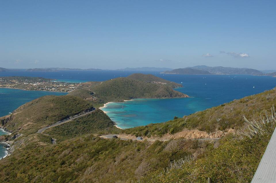
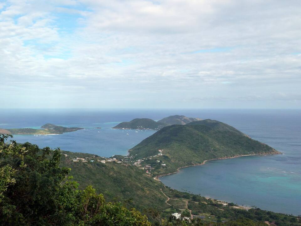
The view south-west from the road below Gorda Peak (2006): the North Sound Road winding down, Savannah Bay in the centre and The Valley beyond, with Tortola on the horizon. Mahoe Bay is just out of the frame to the right Photo: Jerrye and Roy Klotz MD, CC BY-SA 3.0
Agree the fare for your party and a pick-up time before you set off: there is no taxi stand at Mahoe Bay and no posted fare to it.
We found no public car park. The resort tells its own guests to use its car park; everyone else, park off the road and never block a villa's drive.
Driving, you keep left, and the roads up here are steep and narrow.
From the U.S. Virgin Islands it is an international crossing: bring a passport, fill in the BVI's online ED card and expect the BVI entry fees at the Spanish Town dock.
Mahoe Bay: what is public, what is the resort's, and papers from St. Thomas
Mahoe Bay has no gate, no posted hours and no entry fee, and it is not a national park. Mango Bay Resort's villas line the beach and its land runs to the sand, but the BVI Minister for Natural Resources told the House of Assembly in March 2023 that all BVI beaches are public, with access to be provided even where a beach is linked to private property. The resort's pool, kayaks and paddleboards are for its guests; its new restaurant, it says, is for everyone. A visitor coming over from St. Thomas or St. John also pays the BVI's charges at the border, on the Spanish Town ferry dock.
Charges
The beach
Free
A taxi, in the resort's guide for its guests
Around $10 a person, plus about $1 a bag
BVI environmental and tourism levy, arriving by air or sea
$10
BVI departure tax, leaving by ferry
$20
The same, for BVI residents
$15
The taxi figure is the resort's own, on its getting-here page, which adds that fares are set per route and should be confirmed with the driver; the BVI's posted fare list has no route to Mahoe Bay. The levy and the departure tax are the UK government's figures for the BVI; from Tortola or anywhere else in the BVI they do not apply.
Access, the resort and the papers
✓Using the beach — "All BVI beaches are public," the Minister for Natural Resources told the House of Assembly on March 9, 2023
✓The Drop Off, from December 2026 — "Open to everyone. Boats welcome," the resort says: 11 am until late, daily December 1 to April 30, closed Mondays May 1 to December 1
✕The resort's pool, kayaks, paddleboards and snorkel gear — free for its guests, it says; nothing is offered to non-guests
✓A passport, for everyone arriving from the USVI — U.S. citizens and children included
✓The BVI's online ED card — required of every traveller entering the BVI since January 1, 2025
A short beach with a resort at one end and villas on the hill behind. Below is what OpenStreetMap maps and what the resort itself publishes; we found no public facilities, so come with water and shade.
Getting in
Nail Bay Road
Nail Bay Road leaves the North Sound Road just past Savannah Bay and runs north behind Mahoe Bay toward Nail Bay; Mango Bay Road and the villa lanes drop off it toward the sea. OpenStreetMap maps no public path to the sand and no public car park, and we found none on any official page. Ask your driver for Mango Bay Resort: it is the landmark at the south end of the beach.
The beach
The sand
A short curve of sand along the head of the bay, about 250 m on the line our beach model traced, with Mango Bay Resort's villas and gardens behind its south end and houses on the hill above. It faces west-north-west, so the island's hills block the easterly trade wind and the water is calm on most days; the resort calls it "a calm, clear bay". We found no restrooms, showers, chairs or lifeguards for the public.
Mango Bay Resort has 19 beachfront villas, suites and studios in gardens along the sand, on its own website, and says it was built in the mid-1980s by the late Aldo Moretti and belongs today to Keith Newton and his family. Its café, bar and restaurant, The Drop Off, at the resort's rebuilt dock, opens in December 2026, "open to everyone": 11 am until late, seven days a week from December 1 to April 30, closed Mondays from May 1 to December 1. Reservations by phone, (284) 346-7556, or OpenTable. No menu or prices are published yet.
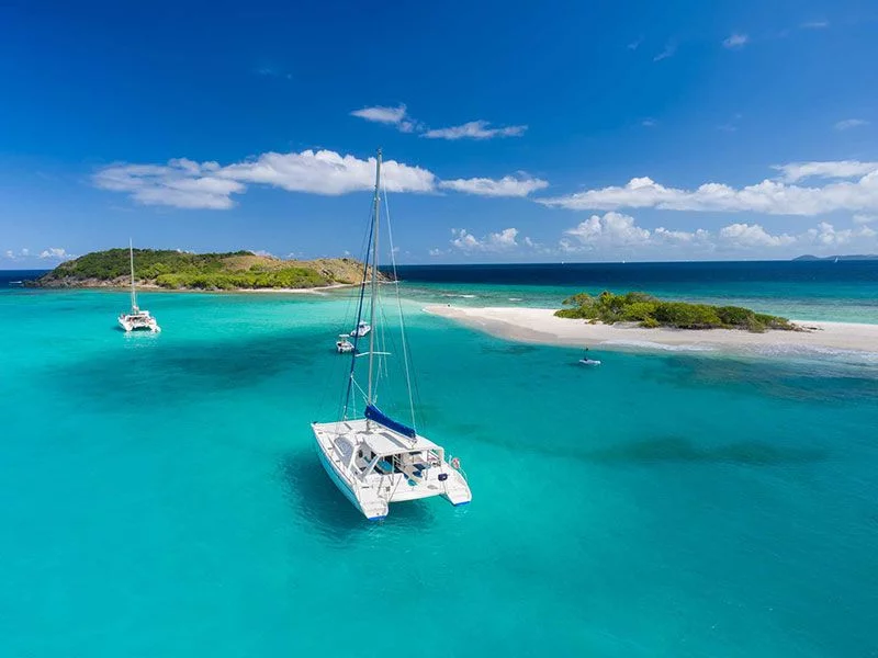
"Pick up one of our mooring balls or anchor in Pond Bay or Savannah Bay, then tie up your dinghy at the dinghy dock," the resort tells sailors, and day boats may tie up at the dock while their guests have lunch, space permitting. It does not say how many balls there are or what they cost; ask at the resort. In a winter north swell the bay is open to it — a settled-weather stop.
The resort calls itself "one of the few true beach and reef front resorts on Virgin Gorda", and our beach model scores Mahoe as a snorkelling beach, sheltered inside the same reef line as Savannah Bay. The resort lends snorkel gear to its own guests only: bring your own mask and fins. Swim with a buddy, stay off the coral and keep clear of the moorings and the dock, where boats come and go.
Next door
The next cove, toward Savannah Bay
South-west of the resort, round the rocks, OpenStreetMap maps another beach of about 350 m with a wetland behind it, unnamed on its map — the bay sailors know as Pond Bay, where the resort suggests anchoring. Beyond it is Savannah Bay, the long beach inside the reef. To the north, past the point, is Nail Bay.
Searches for Mahoe Bay often mean Maho Bay, without the e: the turtle beach on St. John's north shore, in the U.S. Virgin Islands and its national park. That is a different beach in a different country; it has its own guide on this site.
The reason to come: a short, sheltered beach facing away from the trade wind, quiet on most days. There are no lifeguards — keep children within reach, and check the call at the top of the page on a winter swell day.
From December 2026, Mango Bay Resort's new café, bar and restaurant at its dock, open to the public from 11 am, it says. Arrive by car, or by boat on a mooring ball and the dinghy dock. Book by phone or OpenTable.
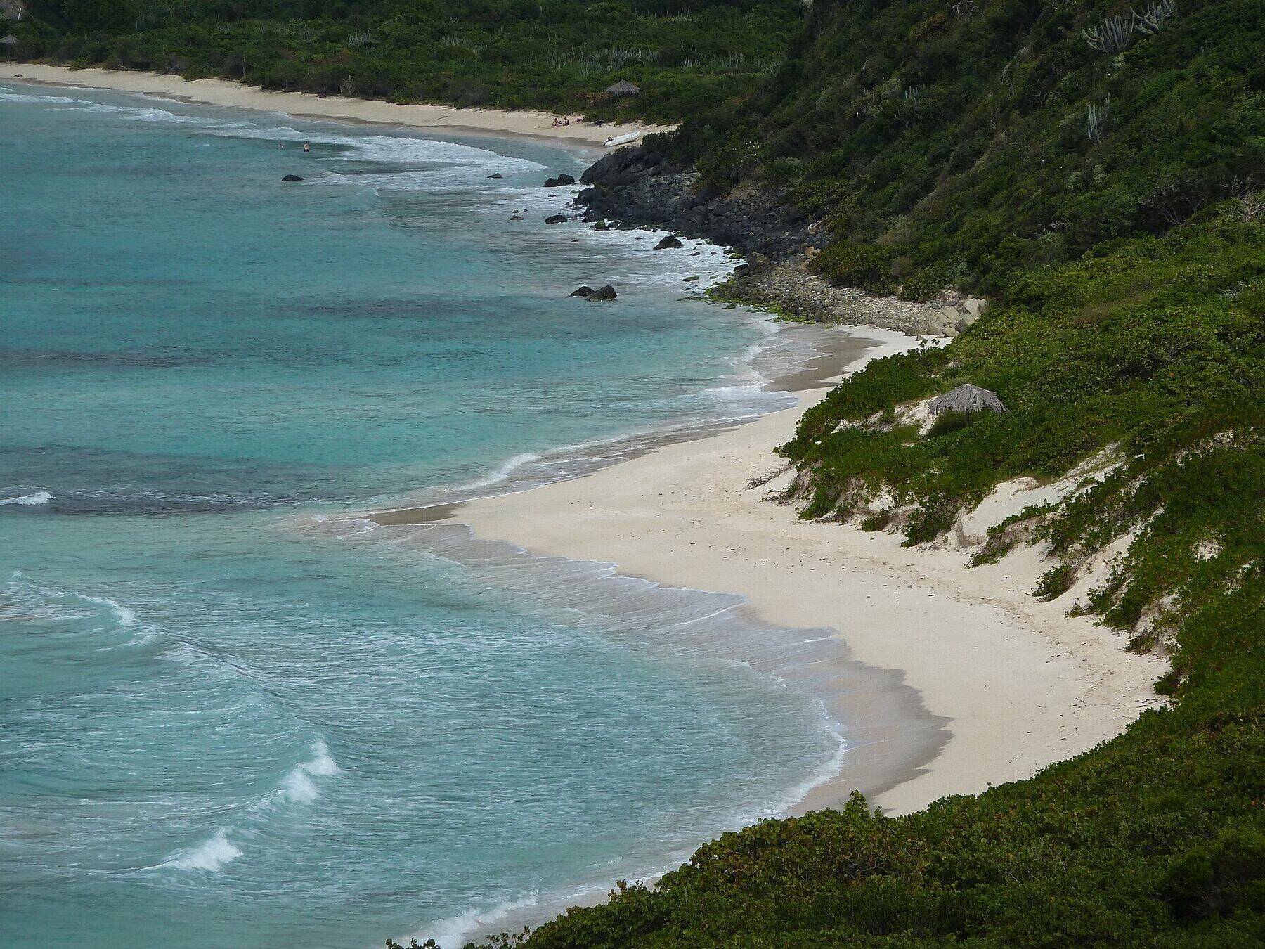
A few minutes back toward Spanish Town: a long, empty curve of white sand with a reef across the bay and nothing built on it. Bring everything you need.
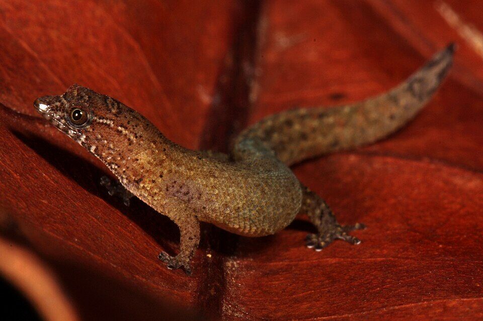
The Virgin Islands dwarf gecko, about 18 mm from snout to vent and one of the smallest reptiles known, lives in the dry scrub on the rocky hillsides here; it was first collected on the hill above Pond Bay, next door, in 1964. It is listed as Endangered and lives under rocks and leaf litter, not on the beach — look, but leave the rocks where they are.
The North Sound Road climbs on from Mahoe Bay past Gorda Peak to the overlook above North Sound and down to Gun Creek and Leverick Bay, where boats run to Saba Rock and the Bitter End.
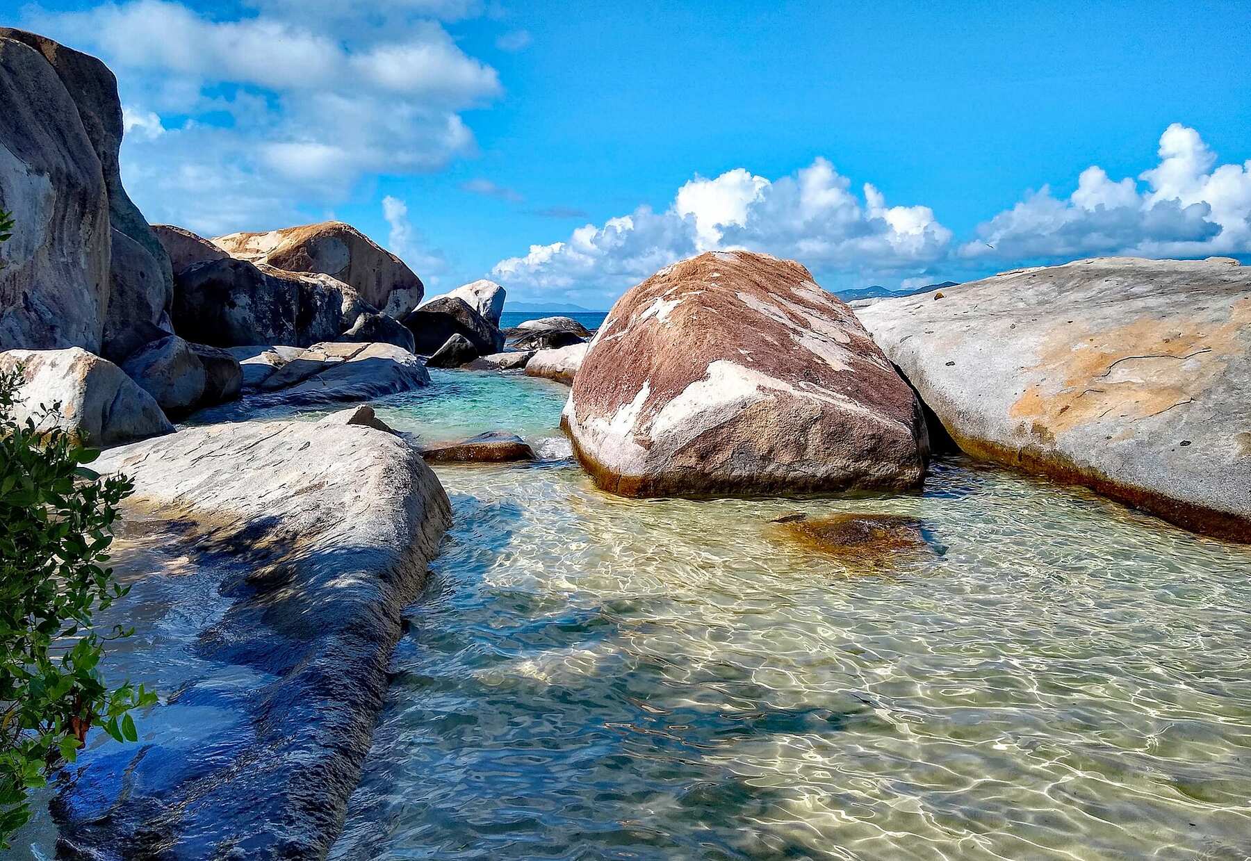
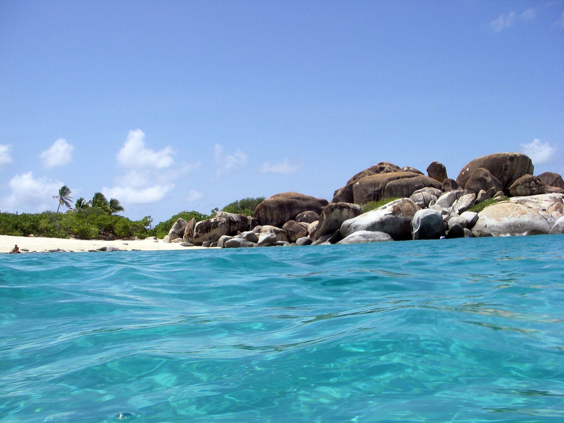
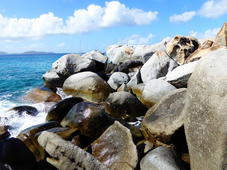
The granite boulders and grottos of The Baths are at the island's south-west tip, the other side of Spanish Town: a National Parks Trust park with an entry fee, opening hours and the Caves trail to Devil's Bay. Go early, then come north for a quiet swim.
Until December 2026 there is nothing to buy at Mahoe Bay: bring water, food and shade. From December, Mango Bay Resort's The Drop Off, at its dock on the beach, says it is open to everyone from 11 am until late (closed Mondays from May to November).
Otherwise Spanish Town is the nearest place to eat that we can source — the restaurants and bars round the Virgin Gorda Yacht Harbour by the ferry dock — and Leverick Bay and Gun Creek are over the hill on North Sound. Several Virgin Gorda places close for part of the August–October off-season.
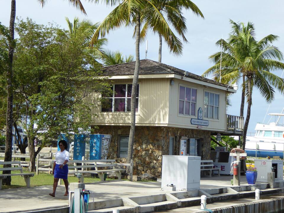
A building at the Virgin Gorda Yacht Harbour in Spanish Town, under the palms beside the docks Photo: Mattes, CC BY 2.0 de
On the beach
The Drop OffMango Bay Resort's café, bar and restaurant at its dock, opening December 2026; 11 am until late, daily December–April, closed Mondays May–November, the resort says. Reservations by phone or OpenTable.
Bring your ownUntil then, nothing is sold to the public here: a cooler, water and an umbrella.
Nearby
Spanish TownRestaurants, bars and shops round the Yacht Harbour by the ferry dock.
North SoundLeverick Bay and the boats to Saba Rock and the Bitter End, over the hill — our closures tracker lists who is open off-season.
Weather & sea
Mahoe Bay weather and the best time to go
Warm all year: highs in the mid-80s °F, a steady easterly trade wind and short tropical showers rather than all-day rain. December to April is the dry season and the busy one; June to November is hurricane season.
Mahoe Bay faces west-north-west, so the island shelters it from the easterly trade-wind sea and the water is calm on most days. Its trouble is the winter north swell, from storms far out in the North Atlantic, which can wrap into the bay for a day or two. The call at the top of the page reads the swell every half hour.
The next 7 days on Virgin Gorda
Day
Sky
High / low
Rain
Wind
Seas offshore
Today
Thunderstorms
85° / 80°F
90%
SW 18 mph, gusts 24
2.8 ft
Tomorrow
Thunderstorms
83° / 80°F
92%
WSW 20 mph, gusts 27
3.3 ft
Sun, Nov 8
Drizzle
85° / 81°F
67%
W 13 mph
2.9 ft
Mon, Nov 9
Drizzle
84° / 82°F
18%
NW 8 mph
2.1 ft
Tue, Nov 10
Drizzle
83° / 81°F
24%
NE 13 mph
2 ft
Wed, Nov 11
Overcast
84° / 83°F
21%
ENE 13 mph
2 ft
Thu, Nov 12
Drizzle
84° / 82°F
20%
ESE 11 mph
2 ft
Open-Meteo forecast for Virgin Gorda, refreshed every half hour. The seas are offshore; how much of it reaches the sand is the call above. BVI weather & sailing week · North swell season
Sea temperature by month
80°Jan
80°Feb
80°Mar
81°Apr
83°May
85°Jun
85°Jul
85°Aug
86°Sep
86°Oct
84°Nov
82°Dec
Daily-mean sea-surface temperature off Virgin Gorda, averaged 2021–2024 (Open-Meteo marine reanalysis): warmest in Sep (86.3°F), coolest in Feb (79.5°F).
Live cameras
Is there a webcam at Mahoe Bay?
No — there is no public live webcam at Mahoe Bay. Virgin Gorda's one live camera is at Saba Rock in North Sound, over the hill at the island's north-east end: it shows the boats in the sound. We would rather say so than show a still photo dressed up as live.
On a hillside above Pond Bay, next door to Mahoe Bay, an adult female is collected that becomes the type specimen of the Virgin Islands dwarf gecko, found that summer by the biologist Richard Thomas and described by him in 1965. Found only in the British Virgin Islands, it averages 18 mm from snout to vent.
Mid-1980s
Mango Bay Resort
Aldo Moretti builds Mango Bay Resort on the beach, the resort's own history says, and his family runs it for many years.
September 6, 2017
Hurricane Irma
The category 5 hurricane crosses the British Virgin Islands. The resort's dock is destroyed, it says; it has since been rebuilt for the new restaurant.
March 9, 2023
"All BVI beaches are public"
After complaints that an estate on Virgin Gorda was blocking the way to the sand, the Minister for Natural Resources tells the House of Assembly that every beach in the territory is public.
December 2026
The Drop Off
Under the Newton family, the resort's owners today, Mango Bay opens its café, bar and restaurant at the dock to the public, it says.
The BVI's fare list has no Mahoe Bay. Ask for Mango Bay Resort, agree the fare for your party before you set off, and agree a pick-up time.
Bring everything
Until The Drop Off opens in December 2026, nothing is sold to the public at the beach and we found no public restrooms. Bring water, food, shade and a bag for your rubbish.
Mahoe, not Maho
Maho Bay, without the e, is the turtle beach on St. John in the U.S. Virgin Islands. If that is where you are going, you want the ferry to Cruz Bay, not Spanish Town.
No lifeguards
We found none. Stay where you can stand unless you are a strong swimmer, and snorkel with someone.
Mind the boats
The resort keeps moorings and a dock off the beach, and day boats come in for lunch. Swim and snorkel clear of them.
Passport from St. Thomas
The BVI is British, not American: bring a passport, fill in the online ED card before you arrive, and clear U.S. customs on the way back.
On the north-west coast of Virgin Gorda in the British Virgin Islands, between Savannah Bay and Nail Bay, below the North Sound Road. Mango Bay Resort is at its south end. It is not Maho Bay on St. John, in the U.S. Virgin Islands.
Is Mahoe Bay the same as Maho Bay?
No. Mahoe Bay is on Virgin Gorda in the British Virgin Islands; Maho Bay, without the e, is the turtle beach on St. John's north shore in the U.S. Virgin Islands, inside its national park. They are in different countries, reached by different ferries, and each has its own guide on this site.
Is Mahoe Bay the same as Mango Bay?
Yes, in practice. The bay is Mahoe Bay on the map; Mango Bay Resort, on its sand, calls its beach Mango Bay and gives its address as Plum Bay Road, Mango Bay. Ask a taxi driver for Mango Bay Resort.
Is Mahoe Bay a public beach?
Yes. There is no gate and no fee, and the BVI Minister for Natural Resources told the House of Assembly in March 2023 that all BVI beaches are public, with access to be provided even where a beach is linked to private property. Mango Bay Resort's pool, kayaks, paddleboards and snorkel gear are for its guests.
How do you get to Mahoe Bay?
By taxi or rental car from the ferry dock in Spanish Town: up the North Sound Road past Savannah Bay, then Nail Bay Road down behind the bay. Mango Bay Resort says it is 10 to 15 minutes from anywhere on the island. Ferries reach Spanish Town from Road Town and Trellis Bay on Tortola, and direct from St. Thomas on some days. By boat, the resort has mooring balls and a dinghy dock.
How much is a taxi to Mahoe Bay?
The BVI's posted fare list has no route to Mahoe Bay. Mango Bay Resort tells its guests to expect around US$10 per person plus about $1 a bag, and to confirm the fare with the driver before setting off. The nearest posted fares from Spanish Town are to Savannah Bay, next door, and to Gun Creek and Leverick Bay on North Sound.
Is there a restaurant at Mahoe Bay?
From December 2026: The Drop Off, Mango Bay Resort's café, bar and restaurant at its dock, open to guests and the public from 11 am until late, daily December 1 to April 30 and closed Mondays May 1 to December 1, the resort says. Reservations by phone or OpenTable. Until then, bring your own.
Can you moor or anchor at Mahoe Bay?
Mango Bay Resort says sailors can pick up one of its mooring balls, or anchor in Pond Bay or Savannah Bay next door, and tie up a dinghy at its dinghy dock; day boats may tie up at the dock for lunch, space permitting. It publishes no count or fee — ask at the resort. Keep out in a north swell.
Is Mahoe Bay good for snorkelling?
On a calm day, yes: our beach model scores it as a snorkelling beach, sheltered inside the same reef line as Savannah Bay, and the resort describes itself as beach and reef front. Bring your own gear — the resort lends it to guests only — stay off the coral and keep clear of the moorings.
Are there restrooms or lifeguards at Mahoe Bay?
We found no public restroom and no lifeguard service. Bring water and shade, and keep children within reach.
Is Mahoe Bay a national park?
No. The National Parks Trust's Virgin Gorda parks are The Baths, Devil's Bay, Spring Bay, Copper Mine Point, Little Fort and Gorda Peak.
Is there a webcam at Mahoe Bay?
No public live camera. Virgin Gorda's only live webcam is at Saba Rock in North Sound, at the island's north-east end, and it shows the boats in the sound.
Photo & map credits
A female Virgin Islands dwarf gecko from Mahoe Bay, Virgin Gorda, on a leaf (2009) — Alejandro Sánchez, CC BY-SA 4.0, via Wikimedia Commons (resized).
Savannah Bay, the next beach south-west of Mahoe Bay, from the hill above it: white sand under the scrub and the reef dark through the turquoise water (December 2010) — Gruepig, CC BY-SA 4.0, via Wikimedia Commons (resized).
The view south-west from the road below Gorda Peak (2006): the North Sound Road winding down, Savannah Bay in the centre and The Valley beyond, with Tortola on the horizon. Mahoe Bay is just out of the frame to the right — Jerrye and Roy Klotz MD, CC BY-SA 3.0, via Wikimedia Commons (resized).
North Sound from the overlook on the North Sound road: the sound and its islands, the road winding down to the shore — Gruepig, CC BY-SA 4.0, via Wikimedia Commons (resized).
A building at the Virgin Gorda Yacht Harbour in Spanish Town, under the palms beside the docks — Mattes, CC BY 2.0 de, via Wikimedia Commons (resized).
The Baths from the water: the white sand on the left, the granite boulders stacked along the shore to the right (2007) — Daniel Lobo, CC BY 2.0, via Wikimedia Commons (resized).
Granite boulders piled along the shore at The Baths, with the sea breaking between them — Mattes, CC BY 2.0 de, via Wikimedia Commons (resized).
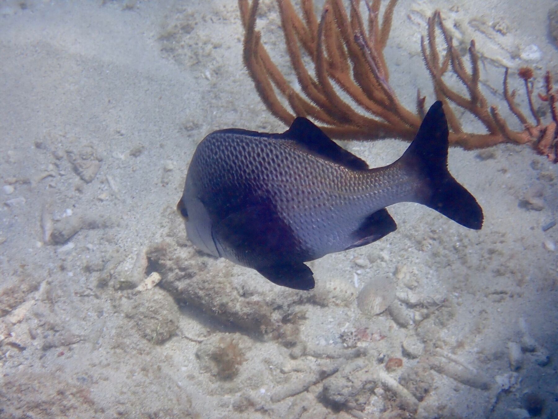
A black margate swimming over the sand by a sea rod, snorkelling at Spring Bay (September 2018) — saralovo, CC BY 4.0, via Wikimedia Commons (resized).
 Skip today today
 Think twice today