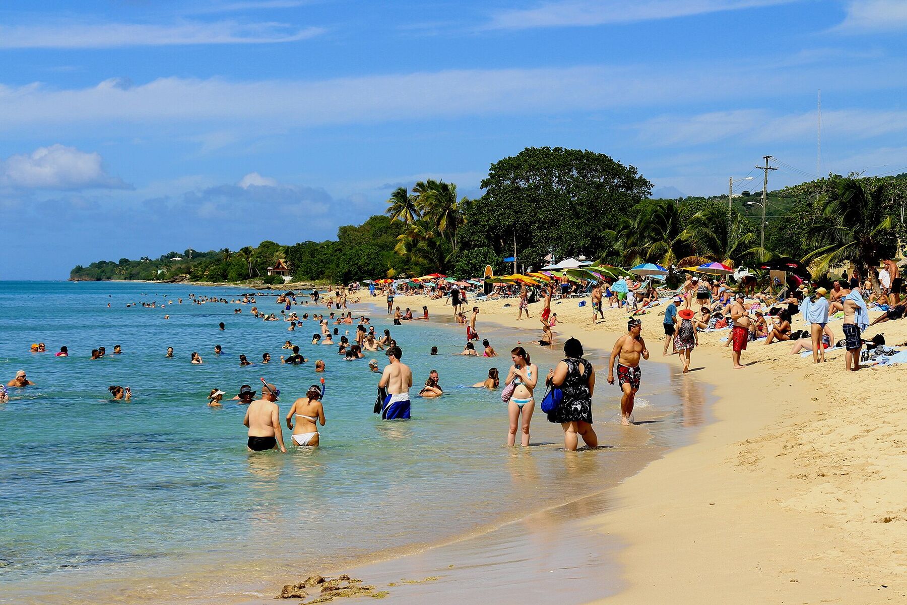
A palm-lined beach on St. Croix's north shore where the reef runs out from the sand and, about 200 yards offshore, drops away into the deep — the Cane Bay Wall, which divers reach by walking in from the beach. A dive shop and a bar sit across the road and another bar on the rocks at the east end; there is no gate and nothing to pay.
The north shore of St. Croix, U.S. Virgin Islands, on Cane Bay Road (Route 80) between Davis Bay to the west and Salt River to the east
The beach
About a quarter of a mile (some 380 m) of sand under palms at the head of a small bay, with rocks and coral along the waterline
The Wall
About 200 yards out the reef drops away, from roughly 40 ft to more than 13,000 ft
Entry
Free: a public beach with no gate, no attendant and no posted hours
Dive shop
Sweet Bottom Dive Center, across the road, 8:30 am to 5 pm daily; it dives from shore and has no boat
Food & drink
The Landing Beach Bar across the road, Off the Wall on the rocks at the east end, AMA and the Sunset Bar at The Waves
The water
Gentle at the entry most of the year, the dive shop says; winter north swells are the exception
Water quality
Tested weekly by DPNR for bacteria: it failed for October 12–16, 2026, after passing for October 5–9
Getting there
By rental car or a booked taxi: there are no ride-hailing apps on St. Croix
History
The sugar estate behind the bay is on the Danish land register as Cane Bay by 1803
Today
Is Cane Bay good today?
Skip today DPNR water test failed — unsafe for swimming (advisory of Oct 16).
Day
The call
Why
Best time
Cruise guests here
Sea at the beach
Rain
Today
Skip today
DPNR water test failed — unsafe for swimming (advisory of Oct 16)
—
None
Some chop · 2.3 ft
99%
Tomorrow
Skip today
Thunderstorms in the forecast · Sargassum offshore
8 am–11 am
None
Some chop · 2.4 ft
Thunder
Sun, Nov 8
Skip today
Sargassum offshore · Choppy — NW swell into the bay
8 am–11 am
None
Some chop · 2.3 ft
82%
Mon, Nov 9
Skip today
Sargassum offshore · Choppy — NNE swell into the bay
8 am–11 am
~250, 10 am–3 pm
Gentle · 1.9 ft
91%
Tue, Nov 10
Skip today
Sargassum offshore · Choppy — NE swell into the bay
8 am–11 am
~250, 10 am–3 pm
Gentle · 1.9 ft
74%
The call is the same one our beach report makes, refreshed every half hour: the swell reaching the bay (Open-Meteo's marine forecast at the beach's offshore point), the cruise passengers our crowd model puts on the sand, NOAA's sargassum satellite and the rain forecast. When DPNR's latest weekly bacteria test fails the beach, the call is Skip today and names the advisory. It reads the beach, not the dive: a calm call is not a dive report, and the dive shops have the last word on conditions at the Wall. The bars under each call are the hours from 8 am to 5 pm. Today's beach report
Taxi fares from the airport and Christiansted, the ships at Frederiksted, today's beach, dive and weather reads and the island around it — each one opens the full page.
Main roadsTrailsBeach sandSnorkel & diveFood & drink
Cane Bay from OpenStreetMap: the sand, Cane Bay Road (Route 80) running along the shore, and the two bars where OpenStreetMap's mappers put them. The dive shop, behind The Landing, and The Waves, along the shore east of Off the Wall, are not on OpenStreetMap. Tap a pin for its section.
Getting there
How to get to Cane Bay
Cane Bay is on St. Croix's north shore, on Cane Bay Road (Route 80), which runs along the water past the beach. The airport is on the south coast, Christiansted further east along the north shore, and the cruise pier at Frederiksted on the west end. There is no bus to the beach.
Most visitors come in a rental car — The Waves, the hotel at Cane Bay, advises renting one, and says taxis run by booking, with no Uber or Lyft on the island. Taxis charge the official fares in the table from the airport and Christiansted; the Taxicab Commission posts no fare from the Frederiksted pier to Cane Bay, so agree one before you set off.
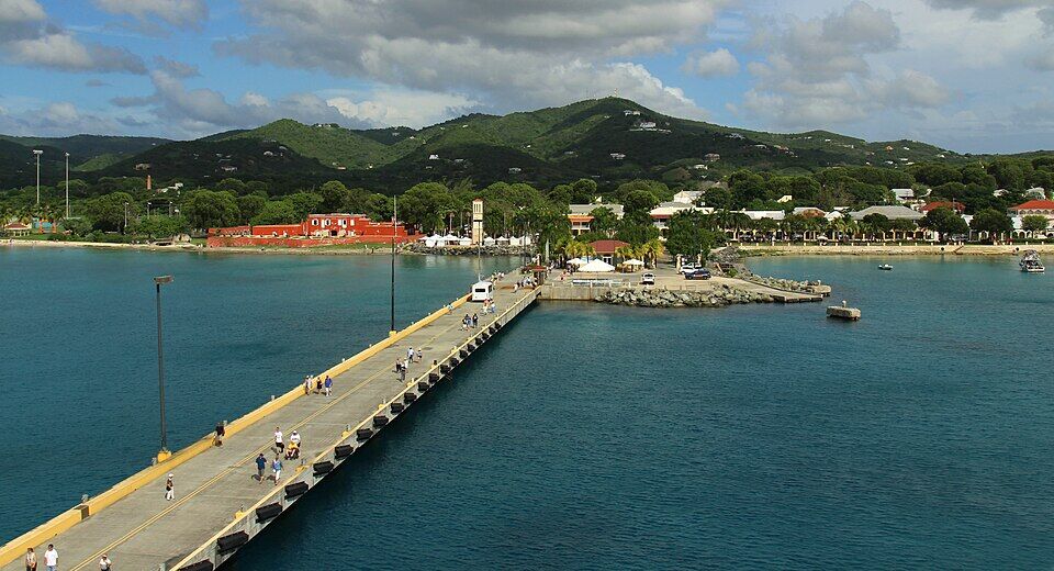
The Frederiksted pier from a ship's deck, running in to the town and the red walls of Fort Frederik Photo: Prayitno, CC BY 2.0
One way: a flat fare for one or two riders, then per person from the third: fares set by the VI Taxicab Commission (rates revised October 24, 2022); night, luggage and waiting surcharges apply. Drive times are Google's for an ordinary day. Fare calculator for any two stops
Taxis on St. Croix run by booking, The Waves says: arrange the ride back when you book the ride out.
St. Croix fares are a flat rate for one or two riders, then a per-person rate from the third — agree the total before you set off.
Driving is on the left, and the roads are narrow. Leave nothing in the car.
On a ship day, keep the all-aboard time in mind: the pier is on the far side of the island.
There is no gate at Cane Bay and nothing to pay to use the beach: it is a public beach with no park authority, no attendant and no posted hours. What costs money is the gear and the guides. The prices and hours below are the businesses' own, as listed in October 2026.
What it costs
The beach
Free
Snorkel set, 24 hours (Sweet Bottom)
$20
Snorkel set, a day (Cane Bay Dive Shop)
$18
Scuba set with tank and weights, a day (Cane Bay Dive Shop)
$45
Guided shore dive at Cane Bay (Cane Bay Dive Shop)
$95
Two-tank boat dive (Cane Bay Dive Shop)
$148
Sweet Bottom publishes its snorkel price but not its dive prices — ask on (340) 773-3483. Cane Bay Dive Shop's dive prices are from its online booking and its gear rates from its rental page (a second tank the same day is $10); it adds no service charge and says tipping is customary.
Opening hours
The beach
Open access
Sweet Bottom Dive Center
8:30 am – 5 pm daily
Shore dives (Cane Bay Dive Shop)
Tue–Sat, 1:30 pm
The Landing Beach Bar
11 am – 8 pm; Sun to 5; closed Tue
AMA at Cane Bay
Tue–Sat, 5 – 9 pm
The Landing's own site gives Sunday as 11 am to 5 pm in its hours and 10 am to 6 pm in its footer. Sweet Bottom's Discover Scuba runs daily at 9 am and 1 pm by reservation. Off the Wall and The Waves' Sunset Bar publish no hours we could find.
Before you go in
✕Swimming, for now — DPNR's bacteria test failed for October 12–16, 2026, and its advisory of October 16 calls the water unsafe for swimming or fishing; it passed for October 5–9 and failed for August 10–14
✕Sunscreen with oxybenzone, octinoxate or octocrylene — its sale is banned in the territory since March 30, 2020
✕Touching or standing on the coral — and mind the sea urchins and fire coral in the shallow rocks
✕Swimming in storm runoff or thick sargassum — DPNR's standing advice
Everything is along a few hundred yards of Cane Bay Road: the sand on the water side, the bar and the dive shop across the road, the bar on the rocks at the east end and the hotel beyond it. Prices are the businesses' own, as listed in October 2026.
The beach
The sand and the way in
A strip of sand under palms between the road and the water, with rocks and coral along much of the waterline. Divers and snorkellers go in over sand beside the concrete boat ramp, Sweet Bottom says; sea urchins and fire coral live in the rocks either side, so watch your feet. We found no lifeguard service listed for Cane Bay: swim with someone.
The dive shop at the beach, across the road behind The Landing, open 8:30 am to 5 pm every day. It dives from shore and has no boat: guided dives on the Wall in small groups (one guide to one to four divers on average, it says), Discover Scuba for first-timers 10 and up daily at 9 am and 1 pm — a pool session, then the house reef to 40 ft — night dives at the Frederiksted pier or the Davis Bay wall, gear by the day and air and nitrox fills. A snorkel set is $20 for 24 hours.
The bar and restaurant across the road from the sand: American bar food with a seafood lean and vegetarian and vegan dishes, and Leatherback, the beer brewed on St. Croix. Open 11 am to 8 pm on Monday and Wednesday to Saturday, 11 to 5 on Sunday, closed on Tuesday; burgers are $12 on Mondays and eight wings $12 on Wednesdays. The Waves says it has live music.
The bar on the rocks at the east end of the beach. The Waves, next door, lists it for pizza and burgers and bingo on Tuesday nights; it publishes no hours or menu of its own — its website says only "coming soon" — so check before you plan a meal round it.
Despite its name, Cane Bay Dive Shop has worked from its shop across from the Frederiksted pier since Hurricane Maria. It still dives here: guided shore dives on the Wall Tuesday to Saturday at 1:30 pm for certified divers 10 and up, at most six to a tour, $95 a diver; snorkel tours at Cane Bay; and two-tank boat dives along the north-shore wall from Salt River Marina at 8:30 am, $148. Getting to the boat is up to you. Its shop also runs guided dives and snorkel tours at the Frederiksted pier.
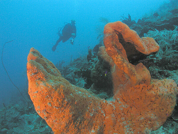
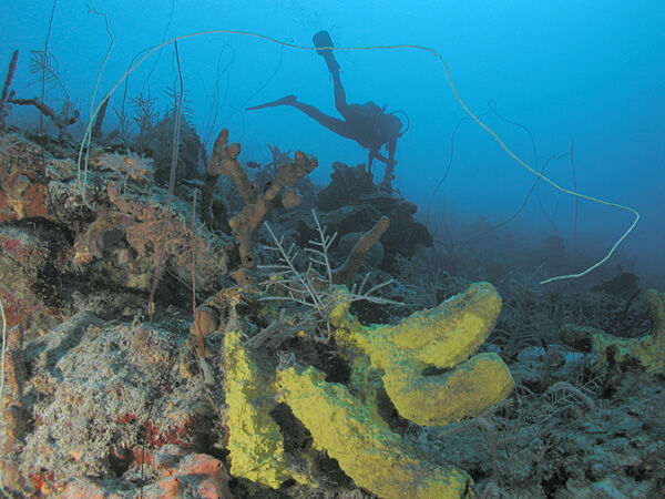
Swim out from the boat ramp over the reef. Coral starts in a few feet of water, and about 200 yards out the bottom falls away — from about 40 ft, the territory's tourism department and Sweet Bottom say, steepening to near-vertical past 80 ft and on down past 13,000 ft. Sweet Bottom's dive notes put the drop at 200 to 250 yards out, past old anchors crusted in coral. Snorkellers get the shallow reef; divers walk in from the sand with a guide or rented tanks. Reef sharks, turtles and schools of reef fish are the common sightings, the shop says. Cane Bay is not inside one of the territory's marine protected areas, so the reef's care is down to the people on it.
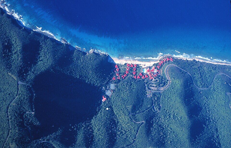
Two bays west, Davis Bay sits below the Carambola resort with a wall of its own: the top at about 25 ft and 75 yards out, Sweet Bottom says, sloping to about 180 ft before it drops away. The entry is across the resort's land, and Sweet Bottom's night dives go there or to the Frederiksted pier. Ask the shop how to get in before you go.
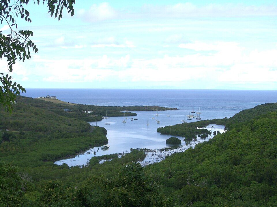
A few miles east along the coast: a national historical park and ecological preserve round a sheltered, mangrove-lined bay, with an archaeological site the National Park Service counts among the most important in the Virgin Islands, and the place of the 1493 encounter with Columbus. Cane Bay Dive Shop's boat leaves from its marina for the north-shore wall, and kayak tours paddle the bay, some at night for its bioluminescence.
The St. Croix Scenic 50, a 50 km ultramarathon and relay over road, single track and jeep trail, starts and finishes on Cane Bay beach each January — the next is on January 17, 2027. In September the Wall2Wall sprint triathlon and Try-a-Tri gather at Cane Bay: an 800 m swim, a 14-mile ride and a 3-mile run, or half that for the Try-a-Tri. The 2026 race was on September 20.
Cane Bay has two bars on the beach front and a restaurant a few minutes' walk east. The Landing, across the road from the sand, serves lunch and dinner six days a week; Off the Wall is the bar on the rocks at the east end; and The Waves hotel has AMA, a seafood restaurant open for dinner Tuesday to Saturday, and its Sunset Bar.
For more choice, Christiansted's restaurants are the other side of the island.
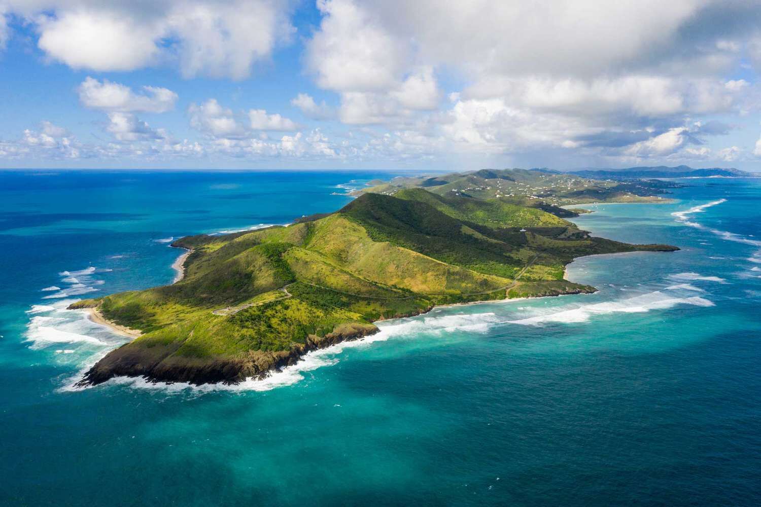
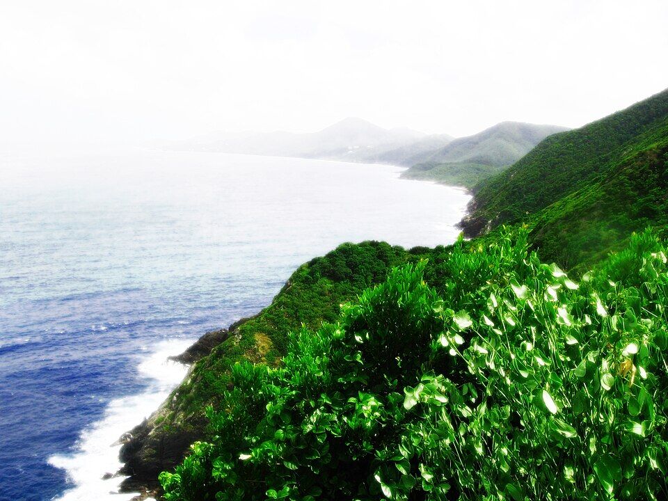
St. Croix's north shore from the Ham's Bluff lighthouse at the island's north-west tip, looking east along the coast toward Cane Bay Photo: EastOfWest, CC BY-SA 3.0
On the beach front
The Landing Beach BarBar food with a seafood lean, Leatherback beer; 11 am–8 pm, Sun to 5, closed Tue.
Off the WallThe bar on the rocks at the east end: pizza, burgers and Tuesday bingo, The Waves says. No published hours.
At The Waves, a short walk east
AMA at Cane BaySustainable seafood over the hotel's grotto; dinner Tue–Sat, 5–9 pm. Book on (340) 227-3432.
Sunset BarThe hotel's upper-patio bar: cocktails, ceviche and small plates.
Weather & sea
Cane Bay weather and the best time to go
Warm all year: highs in the mid-80s °F and a steady easterly trade wind, with short tropical showers rather than all-day rain. December to April is the dry, busy season. June to November is hurricane season, with the peak from mid-August to mid-October.
Cane Bay faces north across deep water toward St. Thomas, and the entry is gentle most of the year — Sweet Bottom calls the waves usually timid. The exception is winter: swells from storms far out in the North Atlantic reach the north shore and can make the entry rough for a day or two. The call at the top of this page reads the swell every half hour.
The next 7 days on St. Croix
Day
Sky
High / low
Rain
Wind
Seas offshore
Today
Showers
84° / 76°F
96%
SW 14 mph, gusts 29
2.4 ft
Tomorrow
Thunderstorms
82° / 76°F
96%
SW 14 mph, gusts 31
3.1 ft
Sun, Nov 8
Drizzle
84° / 78°F
75%
WSW 9 mph, gusts 21
2.8 ft
Mon, Nov 9
Drizzle
86° / 79°F
90%
SW 4 mph, gusts 12
2 ft
Tue, Nov 10
Drizzle
83° / 79°F
81%
ENE 9 mph, gusts 18
2.1 ft
Wed, Nov 11
Drizzle
86° / 79°F
75%
E 10 mph, gusts 23
2.2 ft
Thu, Nov 12
Drizzle
87° / 80°F
53%
ESE 8 mph, gusts 21
2.4 ft
Open-Meteo forecast for St. Croix, refreshed every half hour. The seas are offshore; how much of it reaches the sand is the call above. NWS alerts & marine forecast · North swell season
Sea temperature by month
81°Jan
80°Feb
80°Mar
82°Apr
84°May
85°Jun
85°Jul
86°Aug
86°Sep
87°Oct
85°Nov
82°Dec
Daily-mean sea-surface temperature off St. Croix, averaged 2021–2024 (Open-Meteo marine reanalysis): warmest in Oct (86.5°F), coolest in Feb (80.2°F).
Cruise crowds
Cruise ships and the crowd at Cane Bay
Cruise ships call at the Frederiksted pier, on the west end, and Cane Bay is one of the beaches their excursions and taxis reach. It is a long way from the pier, and our crowd model sends only a small share of each ship's passengers this far; the days below are that model's.
13 of the next 31 days have a ship in Frederiksted. The busiest at Cane Bay, by our model:
Mon, Nov 9 — 1 ship, 2,050 guests in port. Some crowd: ~250 expected here, 10 am–3 pm
Tue, Nov 10 — 1 ship, 2,050 guests in port. Some crowd: ~250 expected here, 10 am–3 pm
Thu, Nov 19 — 2 ships, 4,100 guests in port. Busy: ~500 expected here, 10 am–3 pm
Mon, Nov 23 — 1 ship, 2,050 guests in port. Some crowd: ~250 expected here, 10 am–3 pm
Thu, Nov 26 — 1 ship, 2,050 guests in port. Some crowd: ~250 expected here, 10 am–3 pm
Sat, Dec 5 — 2 ships, 3,524 guests in port. Busy: ~450 expected here, 10 am–4 pm
Our crowd model, not a head count: it puts about 12% of each ship's passengers on Cane Bay, starting about 75 minutes after the ship is alongside and gone 90 minutes before it sails; past 700 on the sand we call it packed. The same model makes the call at the top of the page and on our beach report.
No — there is no public live webcam at Cane Bay that we can embed, and no embeddable camera anywhere on St. Croix at the moment. We would rather say so than show a still photo dressed up as live. The nearest live cameras are on St. Thomas and Water Island, about 40 miles north.
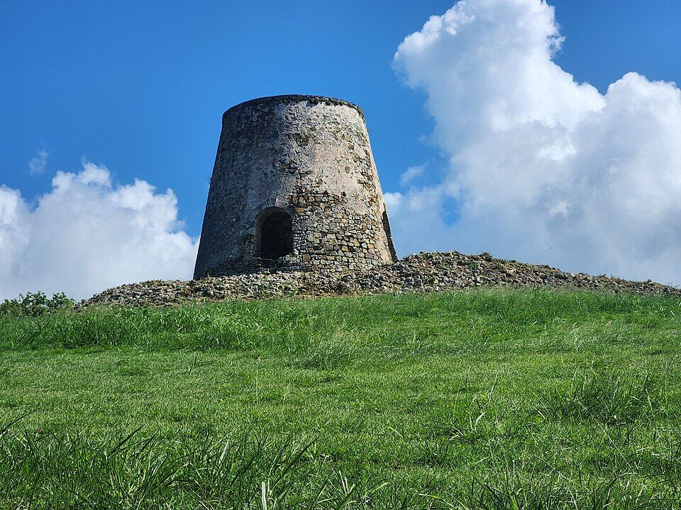
Estate Cane Bay, behind the beach, is an 18th-century sugar plantation; its ruins along the North Shore road are well preserved and extensive, the St. Croix Landmarks Society said when historian George Tyson led a walk through them in March 2004.
By 1803
Cane Bay on the register
The estate is in the Danish land register as Cane Bay, in the North Side B quarter; the list of estate names also gives a later name for it, Lucky Bottom.
1990
Diving the Wall from the beach
After Hurricane Hugo, Hal Rosbach starts diving the Wall straight from the beach instead of by the long boat ride from Christiansted, and the Cane Bay Dive Shop grows out of it.
September 2017
Hurricane Maria
After the storm the Cane Bay Dive Shop works from its shop across from the Frederiksted pier. Sweet Bottom Dive Center, whose base at the Carambola resort is closed by the damage, opens a new shop across the road from Cane Bay beach.
The stone windmill tower of Estate Rust Op Twist, a sugar estate on the north shore east of Cane Bay (2023) Photo: CaptJayRuffins, CC BY-SA 4.0
Taxis on St. Croix run by booking and there is no ride-hailing app, The Waves says. Agree a pick-up time when you book the ride out, or rent a car.
Reef-safe sunscreen is the law
The U.S. Virgin Islands ban the sale of sunscreens with oxybenzone, octinoxate or octocrylene. Bring a mineral (zinc or titanium) one — the coral starts a few feet from the sand.
Water shoes
The waterline is rock and coral in places, with urchins in the shallows. Go in by the boat ramp, and wear something on your feet until you are swimming.
Read the water test
DPNR tests Cane Bay for bacteria every week. After heavy rain, stay out of the water where runoff comes down, as DPNR advises.
Watch the winter swell
From about November to March a north swell can make the entry rough for a day or two. The call at the top of the page reads the swell every half hour, and the dive shops know the day's conditions.
Mind the day of the week
The Landing is closed on Tuesdays, and AMA serves dinner only Tuesday to Saturday. Bring food and water if you are staying all day.
Yes. Cane Bay is a public beach with no gate, no attendant and no entry fee. What costs money is the gear and the guides: Sweet Bottom Dive Center rents a snorkel set for $20 for 24 hours, and Cane Bay Dive Shop's guided shore dive at Cane Bay is $95 a diver, as listed in October 2026.
How far out is the Cane Bay Wall?
About 200 yards from the beach. The territory's tourism department and Sweet Bottom Dive Center say the drop-off starts in about 40 feet of water and falls to more than 13,000 feet; Sweet Bottom's dive notes put the drop at 200 to 250 yards out, near-vertical by about 80 feet. Coral starts in a few feet of water much closer in.
Can you snorkel at Cane Bay?
Yes. Coral starts in a few feet of water off the beach, and on a calm day snorkellers can swim out over the reef toward the drop-off. Go in beside the concrete boat ramp, watch for sea urchins and fire coral in the shallow rocks, and do not touch the coral. Sweet Bottom Dive Center, across the road, rents snorkel sets for $20 for 24 hours.
Is there a dive shop at Cane Bay?
Yes — Sweet Bottom Dive Center, across the road from the beach behind The Landing, open 8:30 am to 5 pm every day. It dives from shore and has no boat. Despite its name, Cane Bay Dive Shop is in Frederiksted, across from the pier; it runs guided shore dives at Cane Bay Tuesday to Saturday at 1:30 pm.
How do I get to Cane Bay from the airport or Christiansted?
By rental car or a booked taxi: there is no bus to the beach and no Uber or Lyft on St. Croix. It is about 20 minutes (11.8 km) by road from the airport and 26 minutes (17.2 km) from Christiansted. The official taxi fare from the airport is $30 for one or two, $15 each for three or more; from Christiansted $36 for one or two, $17 each for three or more. St. Croix fares are a flat rate for one or two riders, then per person from the third.
Can I get to Cane Bay from the cruise ship?
Yes, but plan it. Ships dock at Frederiksted, on the west end, and the Taxicab Commission's rate sheet has no fare from the pier to Cane Bay, so agree the fare and a pick-up time with the driver before you set off, and keep the all-aboard time in mind. Cane Bay Dive Shop, across from the pier, runs guided shore dives at Cane Bay Tuesday to Saturday at 1:30 pm.
Where can I eat at Cane Bay?
The Landing Beach Bar, across the road from the sand, is open 11 am to 8 pm Monday and Wednesday to Saturday and 11 am to 5 pm on Sunday, and closed on Tuesday. Off the Wall is the bar on the rocks at the east end. At The Waves, a short walk east, AMA serves seafood dinners Tuesday to Saturday, 5 to 9 pm, and the hotel has its Sunset Bar.
Is the water at Cane Bay safe to swim?
DPNR tests Cane Bay for bacteria every week. In its advisory of October 16, 2026 the beach failed the territory's standard for the week of October 12–16 and DPNR called the water unsafe for swimming or fishing; it passed for October 5–9 and failed for August 10–14. While the latest test is a fail, the call at the top of this page is Skip today. Check the latest advisory and stay out of storm runoff after heavy rain, as DPNR advises.
Does Cane Bay have lifeguards?
We found no lifeguard service listed for Cane Bay. Treat it as an unguarded beach: swim with someone, go in by the boat ramp, and stay out when a winter north swell is breaking on the reef.
Is Cane Bay in a marine park?
No. Cane Bay is outside the territory's marine protected areas: DPNR's St. Croix park, the St. Croix East End Marine Park, is on the island's East End. The reef is still fragile — do not touch, stand on or take coral, and use a mineral sunscreen.
Is there a Cane Bay webcam?
No public live stream we can embed. There is no embeddable camera on St. Croix at the moment; the nearest live cameras are on St. Thomas and Water Island, about 40 miles north.
The Frederiksted pier from a ship's deck, running in to the town and the red walls of Fort Frederik — Prayitno, CC BY 2.0, via Wikimedia Commons (resized).
Davis Bay from the air in 2010: the beach below the Carambola resort's red roofs, with the reef edge offshore — Sean Linehan, NOAA, Public domain, via Wikimedia Commons (resized).
Salt River Bay from the hills: mangroves, moored boats and the bay's mouth to the sea — Kborer, Public domain, via Wikimedia Commons (resized).
St. Croix's north shore from the Ham's Bluff lighthouse at the island's north-west tip, looking east along the coast toward Cane Bay — EastOfWest, CC BY-SA 3.0, via Wikimedia Commons (resized).
The stone windmill tower of Estate Rust Op Twist, a sugar estate on the north shore east of Cane Bay (2023) — CaptJayRuffins, CC BY-SA 4.0, via Wikimedia Commons (resized).
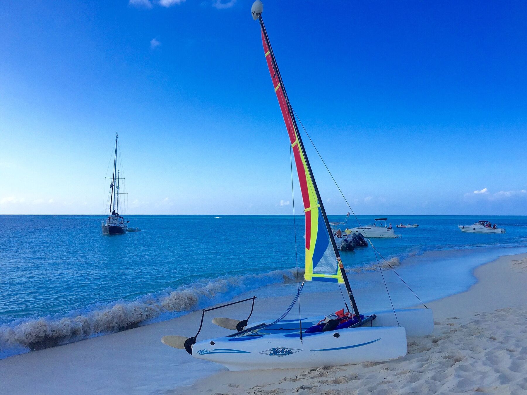
A Hobie Cat pulled up on the sand at Buck Island, with yachts and day boats moored off the beach (January 2015) — Islanderin, CC BY-SA 4.0, via Wikimedia Commons (resized).
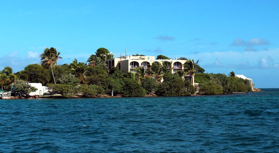
Protestant Cay in Christiansted harbour, with the hotel among the palms — Prayitno, CC BY 2.0, via Wikimedia Commons (resized).
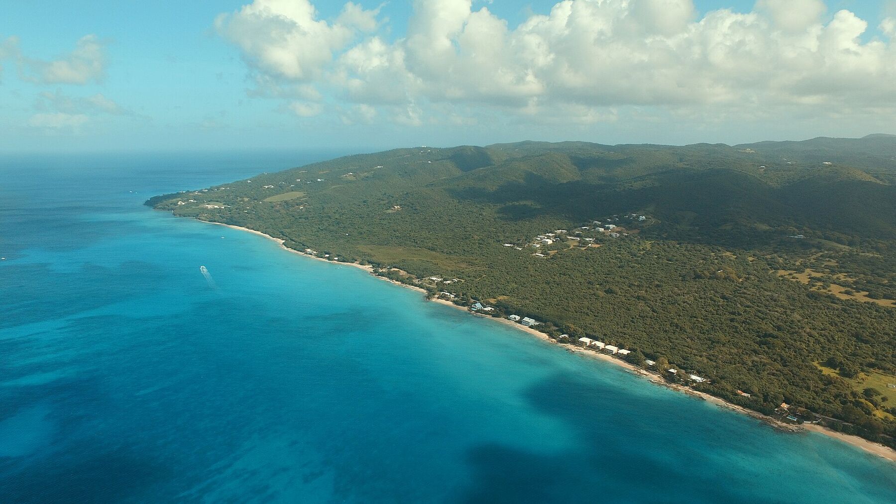
St. Croix's west shore from the air, looking north from off La Grange: the sand and beach houses along Route 63 toward Rainbow Beach and the hills of the north-west (November 2015) — Андрей Бобровский, CC BY 3.0, via Wikimedia Commons (resized).
Frederiksted Beach, north of the fort, busy on a cruise-ship morning: swimmers in the shallows and umbrellas under the trees (November 2015) — Prayitno, CC BY 2.0, via Wikimedia Commons (resized).
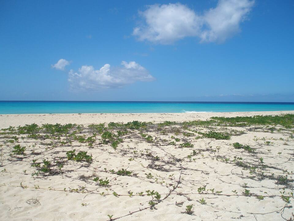
The empty beach at Sandy Point National Wildlife Refuge, beach morning glory on the sand — Turn685, CC BY-SA 3.0, via Wikimedia Commons (resized).
 Think twice today
 Skip today today
 Skip today today
 Good today