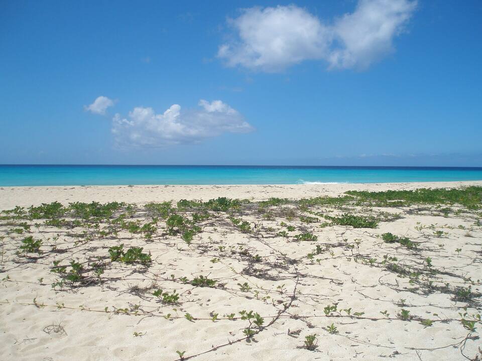
A strip of sand along Route 63 about a mile north of the Frederiksted pier, on the sheltered west side of St. Croix, facing the sunset. At its south end a beach bar runs the food, drinks and bathrooms and a water-sports stand rents chairs, umbrellas, kayaks and jet skis; there is no gate and nothing to pay to use the beach.
The call is the same one our beach report makes, refreshed every half hour: the swell reaching the west shore (Open-Meteo's marine forecast), the cruise passengers our crowd model puts on the sand, NOAA's sargassum satellite and the rain forecast. It is a model, not a lifeguard's report: look at the water before you go in. The bars under each call are the hours from 8 am to 5 pm. Today's beach report
Main roadsTrailsBeach sandSnorkel & diveFood & drinkParking
Rainbow Beach from OpenStreetMap: the sand along Hams Bluff Road (Route 63), the bar at the south end where Prosperity Road comes down to the shore, and the street-side parking and the short path to the sand that OpenStreetMap's mappers have drawn. The water-sports stand, beside the bar, is not on OpenStreetMap. Tap a pin for its section.
Getting there
How to get to Rainbow Beach
Rainbow Beach is on Hams Bluff Road (Route 63), the coast road that runs north out of Frederiksted along the west shore. From the cruise pier it is about 1.2 miles (2 km) by road: north along the waterfront past the fort and Frederiksted Beach, then out of town past La Grange, to the bar and the rental stand at the south end of the sand, where Prosperity Road comes down to the shore.
The Taxicab Commission posts no fare to Rainbow Beach — its sheet has rows to La Grange, just south, and Sprat Hall, just north, which a driver may use as a guide. Agree the fare, and a pick-up time, before you set off. Driving, there is street-side parking along the road behind the beach.
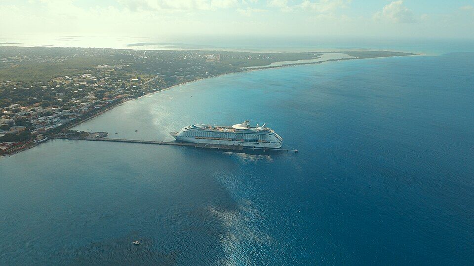
The Frederiksted pier from the air with a cruise ship alongside, the town along the shore and the island's south-west tip beyond (November 2015) Photo: Андрей Бобровский, CC BY 3.0
Agree the total fare before you get in: St. Croix fares are a flat rate for one or two riders, then a per-person rate from the third.
From a ship, keep the all-aboard time in mind and book the ride back — or allow the walk, about 1.2 miles and 25 minutes, along the road.
Walking from the pier, it is about 1.2 miles along Route 63. Traffic drives on the left.
In a rental car, leave nothing in it at the roadside parking.
Rainbow Beach rental prices, hours and the water test
There is no gate at Rainbow Beach and nothing to pay to use it: it is a public beach with no park authority, no attendant and no posted hours. What costs money is the gear. The prices and hours below are West End Water Sports' own, as listed in October 2026; Rhythms, the bar beside it, publishes no prices we could find.
What it costs
The beach
Free
Two loungers and an umbrella, for the day
$40
Umbrella / lounger / float, each
$20 / $15 / $10
Jet ski on your own, 30 min / 1 hour
$85 / $160
Guided jet ski tour, 45 / 75 minutes
$160 / $220
A passenger on a jet ski
$20
ATV or side-by-side tour, 2 hours
$165
Beach rentals are for the whole day and the stand sets them up and collects them at sunset. Kayaks (single and double), paddleboards and snorkel gear are rented by the hour, but no price is published — ask at the stand or on (340) 277-8295. Jet-ski drivers must be 16 or over, with a parent or guardian of 21 or over signing for them, and bring a card and matching ID; one rider per ski on the tour. Cancellations inside 24 hours are not refunded.
Opening hours
The beach
Open access
Chairs and umbrellas
10:30 am – sunset
On cruise-ship days
8 am – sunset
Rhythms (food, drinks, bathrooms) on ship days
From 10:30 am
West End Water Sports says it may close early in the off season, September to November, and asks for a reservation then. Rhythms publishes no opening hours of its own that we could find; the 10:30 am opening on ship days is West End Water Sports' note.
Before you go in
✓Swimming — DPNR's bacteria test passed for October 5–9, 2026, as it did for September 21–25 and August 10–14
✕Sunscreen with oxybenzone, octinoxate or octocrylene — its sale is banned in the territory since March 30, 2020
✕Swimming in storm runoff or thick sargassum — DPNR's standing advice
✕Driving a jet ski under 16 — and a parent or guardian, 21 or over, signs for drivers who are minors
Everything is at the south end, where Prosperity Road meets the shore: the bar and the rental stand side by side, with the loungers and umbrellas on the sand in front. North of them the sand runs on along the road, with street-side parking behind it. Prices are West End Water Sports' own, as listed in October 2026.
The beach
The sand and the water
About half a mile of sand between Route 63 and the sea, by OpenStreetMap's outline, busiest at the south end by the bar and quieter as you walk north. It faces west, on the lee side of the island away from the trade-wind swell, and the water is usually very calm, West End Water Sports says. We found no lifeguard service listed for Rainbow Beach: swim with someone, and stay clear of the jet skis' ride area.
Food & drink
Rhythms at Rainbow Beach
The beach bar and grill at the south end. West End Water Sports, next door, says Rhythms runs the bathrooms and the food and drinks on the beach and opens at 10:30 am on cruise-ship days. Rhythms publishes no website, menu or hours that we could find, so check before you plan a meal round it.
West End Water Sports, beside Rhythms, rents for the day and sets up and collects for you: two loungers and an umbrella $40, an umbrella $20, a lounger $15, a float $10, side tables too. It opens at 10:30 am, at 8 am on cruise-ship days, when guests who booked ahead get a spot near the front, and packs up at sunset. Book online or on (340) 277-8295.
The same stand rents jet skis to ride on your own — $85 for half an hour, $160 for an hour, inside a ride area of about a square mile, it says — and runs guided tours down the coast to Sandy Point and up to Hams Bluff ($160 for 45 minutes, $220 for 75). Single and double kayaks, paddleboards and snorkel gear go by the hour; those prices are not published. Drivers must be 16 or over, with a parent or guardian of 21 or over signing for them.
OpenStreetMap maps street-side parking along Route 63 behind the beach, one stretch of it named Rainbow Beach Parking, with a short path from the road down to the sand. It is free; we found no posted charge. The road is the island's coast road, so pull right off it.
The west shore is the sheltered side of St. Croix, and on most days the water off Rainbow Beach is calm enough to float in — the rental stand rents floats for exactly that. The beach faces due west across open sea, so the sun goes down over the water; the stand's rentals run until sunset.
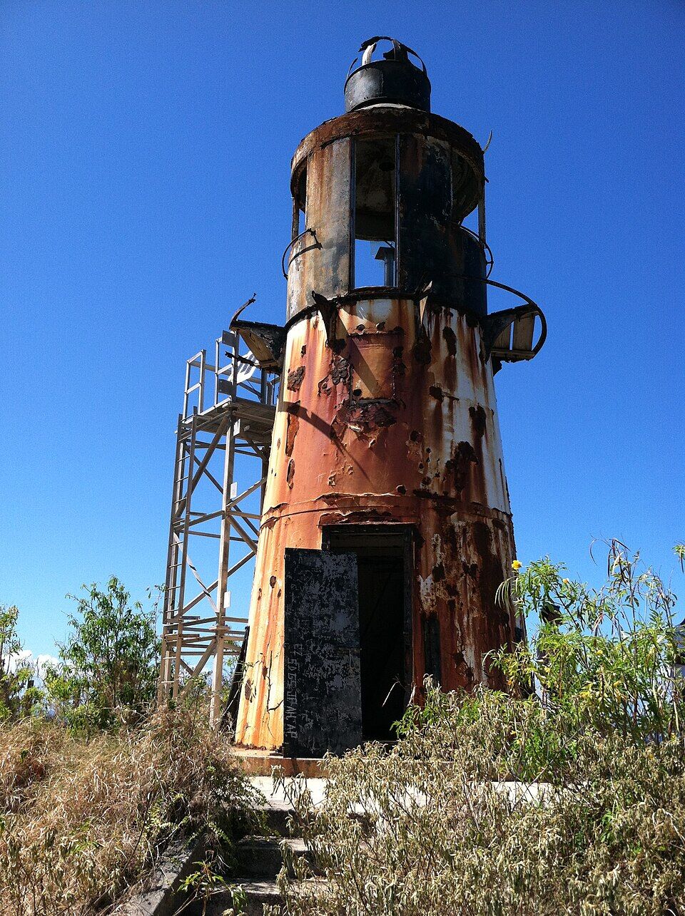
West End Water Sports' guided tour runs south from the beach past the cruise pier to Sandy Point, the turtle-nesting refuge at the island's south-west tip, about three and a half miles, then north to Hams Bluff at the north-west point, where the old Danish-era lighthouse stands on the cliffs. 45 or 75 minutes, one rider to a ski.
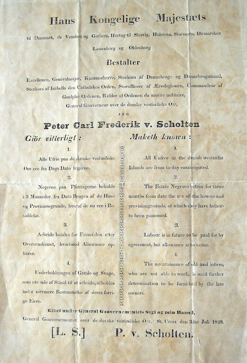
A mile south, the red-walled Danish fort by the pier was built between 1752 and 1760; on July 3, 1848, the governor-general proclaimed the end of slavery in the Danish West Indies there. It holds a museum today. Frederiksted's waterfront, its restaurants and the pier are round it.
The beach just north of the fort, a short walk from the pier, is the nearest sand to the ships. Rainbow Beach is the next stretch north, past La Grange, with the bar and the rentals.
South of town, past the pier, the island's south-west tip is a national wildlife refuge kept for nesting leatherback, green and hawksbill turtles. Its long beach is open to the public on Saturdays and Sundays, September to March, from 10 am to 4 pm.
Rhythms, at the south end of the beach, is the food and drink on the sand: a bar and grill that also runs the bathrooms, West End Water Sports says. It publishes no menu or hours we could find. You can bring your own food and drinks to a public beach; take your rubbish home.
For more choice, Frederiksted's waterfront is a mile south, round the fort and the pier.
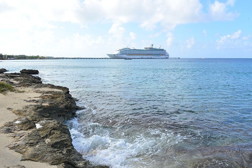
The rocky shore near La Grange, between Frederiksted and Rainbow Beach, with a cruise ship at the Frederiksted pier (November 2015) Photo: Андрей Бобровский, CC BY 3.0
On the beach
Rhythms at Rainbow BeachThe beach bar and grill, with the bathrooms; from 10:30 am on cruise-ship days. No published hours or menu.
Bring your ownFood, drinks and a cooler; a lounger and umbrella from the stand next door.
A mile south
FrederikstedThe town's waterfront restaurants and bars, round Fort Frederik and the cruise pier.
Weather & sea
Rainbow Beach weather and the best time to go
Warm all year: highs in the mid-80s °F and a steady easterly trade wind, with short tropical showers rather than all-day rain. December to April is the dry season and the heart of the cruise season. June to November is hurricane season, with the peak from mid-August to mid-October — and September to November is the water-sports stand's off season, when it may close early.
Rainbow Beach faces west, on the far side of the island from the trade wind, so the easterly swell that works on St. Croix's east and south shores rarely reaches it, and the water is usually calm. Now and then a big swell from a distant storm still reaches the west shore. The call at the top of this page reads the swell every half hour.
The next 7 days on St. Croix
Day
Sky
High / low
Rain
Wind
Seas offshore
Today
Showers
85° / 77°F
96%
SW 13 mph, gusts 29
2.6 ft
Tomorrow
Thunderstorms
84° / 76°F
96%
SW 14 mph, gusts 32
3 ft
Sun, Nov 8
Thunderstorms
85° / 76°F
75%
WSW 10 mph, gusts 22
2.7 ft
Mon, Nov 9
Drizzle
87° / 79°F
90%
NW 4 mph, gusts 10
2.2 ft
Tue, Nov 10
Drizzle
85° / 79°F
81%
ENE 10 mph, gusts 19
1.9 ft
Wed, Nov 11
Overcast
87° / 81°F
75%
ENE 10 mph, gusts 24
2.1 ft
Thu, Nov 12
Drizzle
87° / 81°F
53%
ESE 8 mph, gusts 21
2.8 ft
Open-Meteo forecast for St. Croix, refreshed every half hour. The seas are offshore; how much of it reaches the sand is the call above. NWS alerts & marine forecast · North swell season
Sea temperature by month
81°Jan
80°Feb
80°Mar
82°Apr
84°May
85°Jun
85°Jul
86°Aug
86°Sep
87°Oct
85°Nov
82°Dec
Daily-mean sea-surface temperature off St. Croix, averaged 2021–2024 (Open-Meteo marine reanalysis): warmest in Oct (86.5°F), coolest in Feb (80.2°F).
Cruise crowds
Cruise ships and the crowd at Rainbow Beach
Cruise ships call at the Frederiksted pier, a mile south, and Rainbow Beach is one of the nearest beaches to it — passengers come by taxi, on a booked beach day or on foot. On a ship day the rental stand opens at 8 am instead of 10:30 and Rhythms from 10:30 am. The days below are our crowd model's.
13 of the next 31 days have a ship in Frederiksted. The busiest at Rainbow Beach, by our model:
Mon, Nov 9 — 1 ship, 2,050 guests in port. Busy: ~650 expected here, 10 am–3 pm
Tue, Nov 10 — 1 ship, 2,050 guests in port. Busy: ~650 expected here, 10 am–3 pm
Thu, Nov 19 — 2 ships, 4,100 guests in port. Packed: ~1,300 expected here, 9 am–3 pm
Mon, Nov 23 — 1 ship, 2,050 guests in port. Busy: ~650 expected here, 10 am–3 pm
Thu, Nov 26 — 1 ship, 2,050 guests in port. Busy: ~650 expected here, 10 am–3 pm
Sat, Dec 5 — 2 ships, 3,524 guests in port. Packed: ~1,100 expected here, 9 am–4 pm
Our crowd model, not a head count: it puts about 30% of each ship's passengers on Rainbow Beach, starting about 75 minutes after the ship is alongside and gone 90 minutes before it sails; past 800 on the sand we call it packed. The same model makes the call at the top of the page and on our beach report.
No — there is no public live webcam at Rainbow Beach, and no embeddable camera anywhere on St. Croix at the moment. We would rather say so than show a still photo dressed up as live. The nearest live cameras are on St. Thomas and Water Island, about 40 miles north.
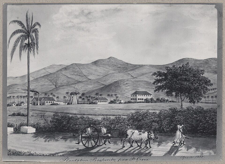
The estate behind the beach is founded as a sugar plantation and rum distillery, Olasee Davis writes; it is first called Prosperity in the 1780s.
1752–1760
Fort Frederik
Denmark-Norway builds the fort at Frederiksted, a mile south, to guard the town's deep-water anchorage.
1792
Cane and the enslaved
Prosperity's owners record 450 acres, about 350 of them in sugar cane, worked by about 113 enslaved Africans.
April 1838
The plantation drawn
Frederik von Scholten draws Plantation Prosperity: the windmill, the works and the great house under the hills.
July 3, 1848
Emancipation
Some 8,000 enslaved people march on Frederiksted, and Governor-General Peter von Scholten proclaims emancipation at Fort Frederik.
October 1878
The Fireburn
A labour revolt sets much of Frederiksted on fire.
1940s
The Plantation Nightclub
Frederik J. Christensen and his wife Frances Elcock buy Prosperity; for a time it is a nightclub, the Plantation.
September 1989
Hurricane Hugo
Hugo wrecks about 85% of St. Croix and destroys Frederiksted's old pier.
2018
Cane again
Robert Apfel buys Estate Prosperity and grows sugar cane on more than 100 acres of it.
“Plantatien Prosperity paa St. Croix”: the estate behind the beach drawn by Frederik von Scholten, April 1838 — the windmill, the works and the great house under the hills Photo: Frederik von Scholten, Public domainGovernor-General Peter von Scholten's proclamation of July 3, 1848, in Danish and English: “All unfree in the Danish West India Islands are from to-day emancipated” Photo: Danish National Archives, CC0
Nothing: Rainbow Beach is a public beach with no gate or entry fee. West End Water Sports rents two loungers and an umbrella for $40 for the day, an umbrella for $20 and a lounger for $15, as listed in October 2026.
How far is Rainbow Beach from the Frederiksted cruise pier?
About 1.2 miles (2 km) by road to the south end of the sand, north along Hams Bluff Road (Route 63) past the fort, Frederiksted Beach and La Grange. Most people take a taxi; some walk it along the road.
How much is a taxi to Rainbow Beach?
The VI Taxicab Commission posts no fare to Rainbow Beach. Its St. Croix sheet has fares to La Grange, just south of the beach, and Sprat Hall, just north, which drivers may use as a guide. Agree the total — St. Croix fares are a flat rate for one or two riders, then per person — and a pick-up time before you set off.
Is there food and a bathroom at Rainbow Beach?
Yes. Rhythms at Rainbow Beach, the bar and grill at the south end, runs the food, drinks and bathrooms, West End Water Sports says, and opens at 10:30 am on cruise-ship days. Rhythms publishes no hours or menu that we could find.
Can you rent jet skis at Rainbow Beach?
Yes, from West End Water Sports: $85 for 30 minutes or $160 for an hour on your own, or a guided tour to Sandy Point and Hams Bluff at $160 for 45 minutes and $220 for 75. Drivers must be 16 or over, with a parent or guardian of 21 or over signing for a minor, and bring a card with matching ID.
Is the water calm at Rainbow Beach?
Usually. It faces west, on the sheltered side of St. Croix away from the trade-wind swell, and the rental stand calls the water usually very calm. Swells from distant storms can still reach the west shore; the call at the top of this page reads the swell every half hour.
Is the water at Rainbow Beach safe to swim in?
DPNR tests it for bacteria every week. It met the standard for October 5–9, 2026, and in the August and September tests we checked. DPNR advises staying out of storm runoff and thick sargassum, and we found no lifeguard service listed at the beach.
Is there parking at Rainbow Beach?
Yes, along Hams Bluff Road (Route 63) behind the beach; we found no charge posted. Pull right off the road, and leave nothing in the car.
Is Rainbow Beach busy on cruise-ship days?
It is one of the beaches closest to the Frederiksted pier, so yes: on a ship day the rental stand opens at 8 am and the passengers arrive through the morning. The call and the cruise days on this page come from our crowd model and the ship schedule.
Is there a Rainbow Beach webcam?
No. There is no public live webcam at Rainbow Beach and no embeddable camera on St. Croix at the moment; the nearest live cameras are on St. Thomas and Water Island, about 40 miles north.
Photo & map credits
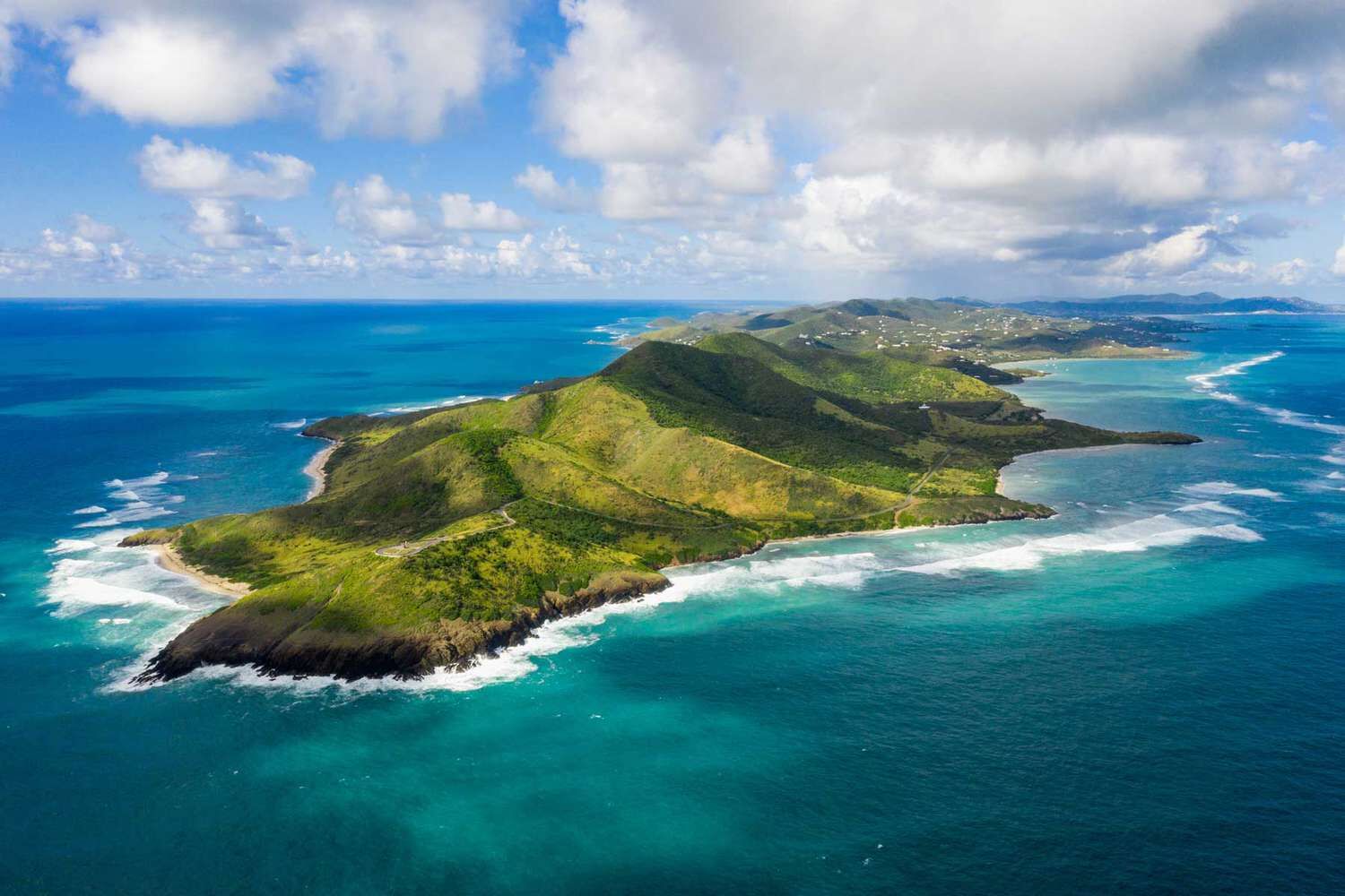
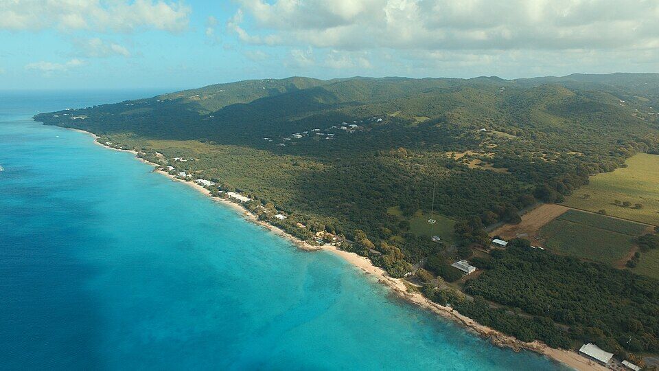
St. Croix's west shore from the air, looking north from off La Grange: the sand and beach houses along Route 63 toward Rainbow Beach and the hills of the north-west (November 2015) — Андрей Бобровский, CC BY 3.0, via Wikimedia Commons (resized).
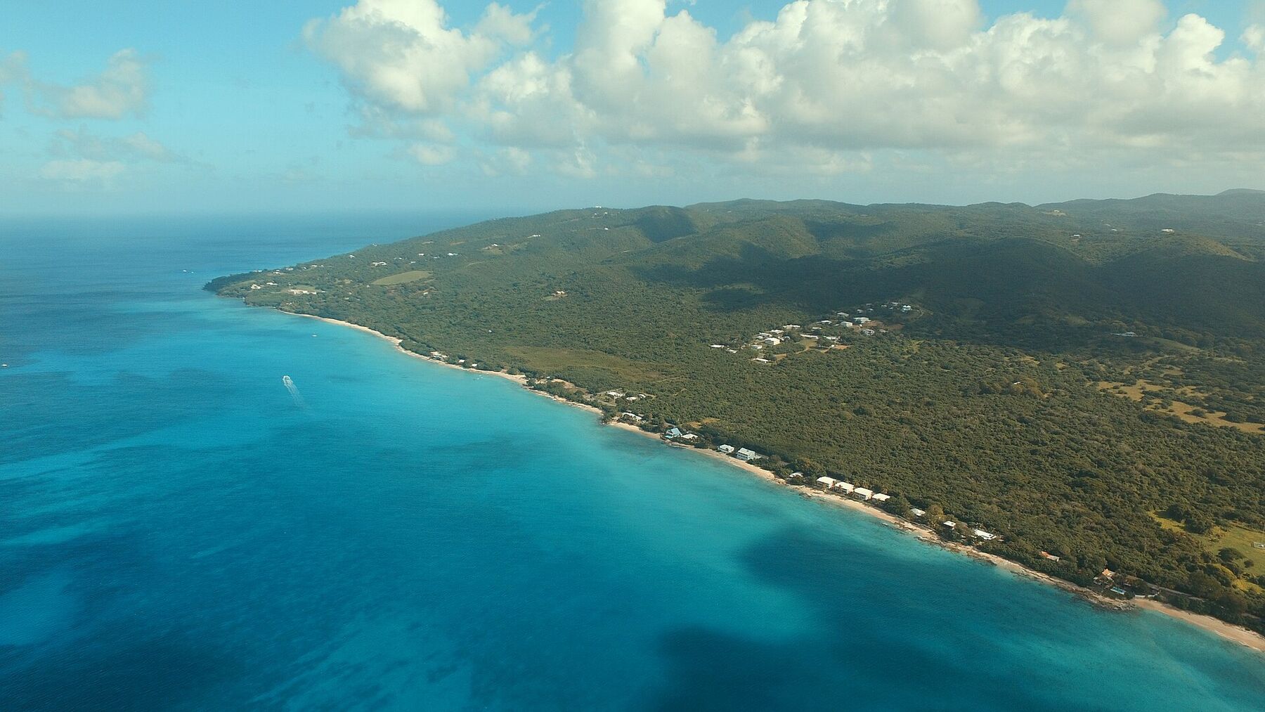
The shore north of Frederiksted from the air: the sand along Route 63, the fields of La Grange and the radio mast on the right, the west-end hills beyond (November 2015) — Андрей Бобровский, CC BY 3.0, via Wikimedia Commons (resized).
The Frederiksted pier from the air with a cruise ship alongside, the town along the shore and the island's south-west tip beyond (November 2015) — Андрей Бобровский, CC BY 3.0, via Wikimedia Commons (resized).
The rocky shore near La Grange, between Frederiksted and Rainbow Beach, with a cruise ship at the Frederiksted pier (November 2015) — Андрей Бобровский, CC BY 3.0, via Wikimedia Commons (resized).
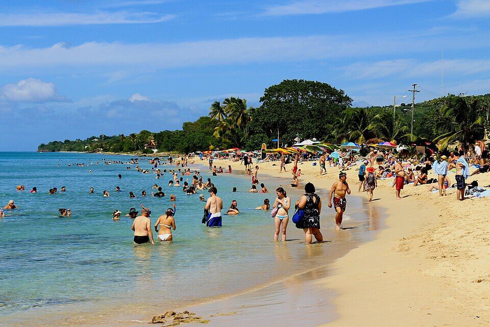
Frederiksted Beach, north of the fort, busy on a cruise-ship morning (November 2015) — Prayitno, CC BY 2.0, via Wikimedia Commons (resized).
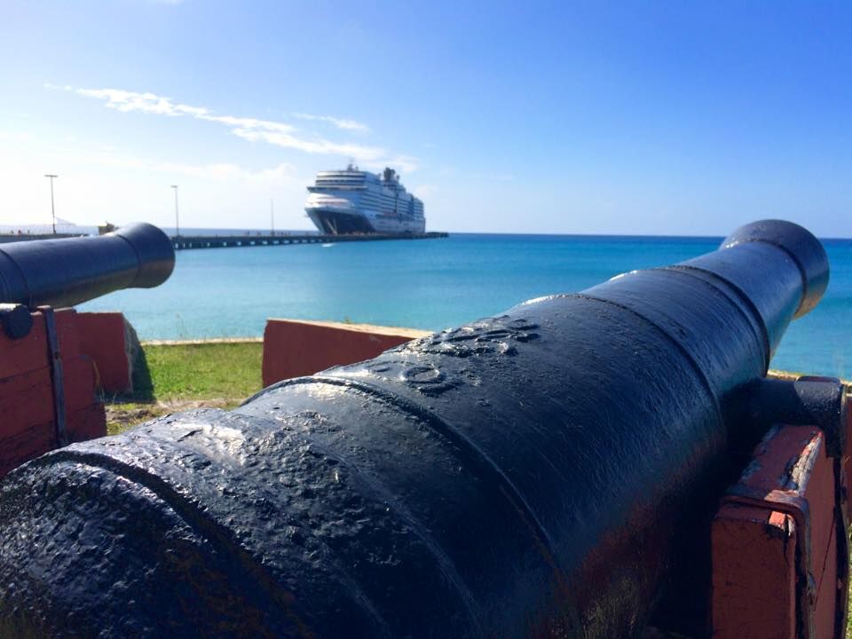
A cannon on the seawall of Fort Frederik, with a cruise ship at the Frederiksted pier (January 2015) — N2theBlue Scuba Diving, CC BY-SA 4.0, via Wikimedia Commons (resized).
The old Hams Bluff lighthouse at St. Croix's north-west point, with the newer light's steel tower beside it (2014) — Eoghanacht, CC0, via Wikimedia Commons (resized).
“Plantatien Prosperity paa St. Croix”: the estate behind the beach drawn by Frederik von Scholten, April 1838 — the windmill, the works and the great house under the hills — Frederik von Scholten, Public domain, via Wikimedia Commons (resized).
Governor-General Peter von Scholten's proclamation of July 3, 1848, in Danish and English: “All unfree in the Danish West India Islands are from to-day emancipated” — Danish National Archives, CC0, via Wikimedia Commons (resized).
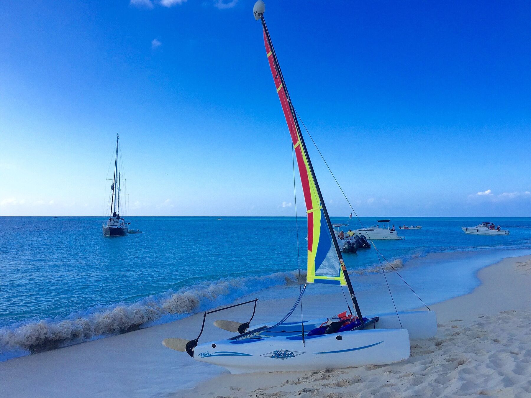
A Hobie Cat pulled up on the sand at Buck Island, with yachts and day boats moored off the beach (January 2015) — Islanderin, CC BY-SA 4.0, via Wikimedia Commons (resized).
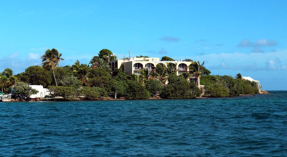
Protestant Cay in Christiansted harbour, with the hotel among the palms — Prayitno, CC BY 2.0, via Wikimedia Commons (resized).
 Think twice today
 Skip today today
 Skip today today